

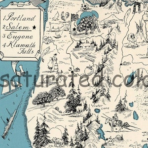
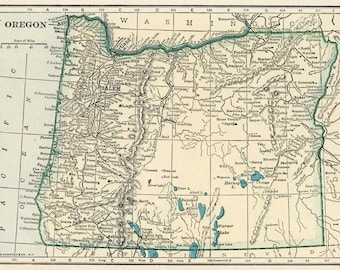
Oregon Map - Map Art - High Res DIGITAL IMAGE of a 1930s Vintage Picture Map - Turquoise Aqua - Charming & Fun
Item highlights
Item review
All reviews are from verified buyers. This review is shown automatically based on factors like recency, whether it includes comments, your chosen language, and whether the rating reflects the typical experience with the shop.
“Beautiful! Bought a series of these, and printed them on cardstock. Love them.”

Natalie
03 Jul, 2015
Low in stock, only 1 left
Price:£2.81
You can only make an offer when buying a single item.
Delivery
Instant download
Your files will be available to download once payment is confirmed. Here's how.
Instant download items don't accept returns, exchanges or cancellations. Please contact the seller about any problems with your order.
Reviews for this item
Beautiful! Bought a series of these, and printed them on cardstock. Love them.
I love the Oregon map. I may frame it and hang it in my home. It was an instant download.
Seller's description
Specifications

Oregon Map Vintage - Antique Map Oregon
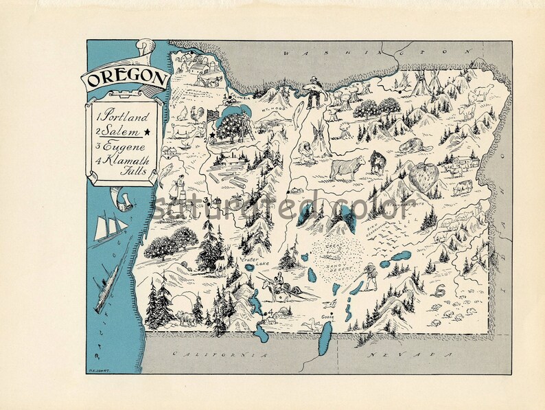
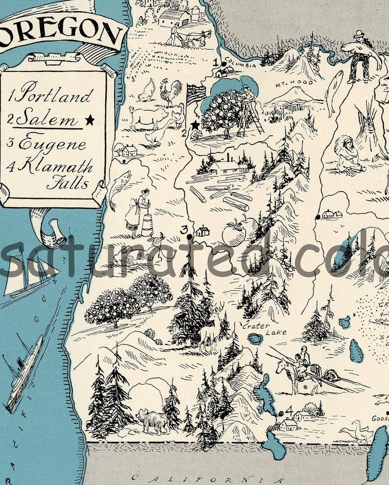
1930s High Res DIGITAL IMAGE. I scanned it at a 300 dpi resolution. The SECOND PHOTO (with margins) is the image you will receive. The FIRST and THIRD PHOTOS shows details.
For more in this DIGITAL IMAGE series:
http://www.etsy.com/shop/SaturatedColor/search?search_query=charming+digital+image&order=date_desc&view_type=gallery&ref=shop_sear
For the ORIGINAL maps in this series:
http://www.etsy.com/shop/SaturatedColor/search?search_query=1930s+original+charming&order=date_desc&view_type=gallery&ref=shop_search
The condition of the original map was exceptional (it has sold) and it was from the nicest set of this series I've found to date. They are becoming so difficult to find and I have so many requests for them that I thought I'd sell a high resolution DIGITAL IMAGE of each map from the series. This way you can print it and have instant art! It can also be transfered to fabric or used for many altered art projects.
The original map I scanned was once part of a 1931 text book. It's unusual because it depicts the topography of the state, a bit of its history, major cities, agricultural and industrial pursuits with sketches in lieu of printed words. The map is in shades of teal, black and cream. I think it would be fun to frame several of these maps and display them in a group. For instance, a group might include your home state, states you've resided in, visited on vacation or a honeymoon, etc.
When printed the entire page measures about 7.5 x 10 inches. The image itself measures 6 1/8 x 7 3/4 inches.
_________________________
Saturated Color retains all copyrights to our digital image file. Purchasing this file does not transfer the copyright. Purchasing this file grants you a license to use the image to create tangible crafts for your own personal use and limited commercial use in a small home based business setting. You may use our images to create a new tangible item finished by your hands. Your tangible items intended for resale must be altered. You can not resell the image as is, in a digital or printed format
No large scale mass produced items allowed.
Saturated Color digital Images may not be redistributed or reproduced for resale in a digital format. Saturated Color Digital images may not be given away in their original digital format. Please refer any interested party to our Store to purchase their own copy.
©2013 Saturated Color - All Rights Reserved
-
Designed by
-
Item typeDigital download
-
Digital file type(s)1 JPG
If something goes wrong with an order, we've got your back on all eligible purchases. View programme terms
Meet your seller

Usually responds in 24 hours
More from this shop
-

Digital download
Vintage Cowboy Country Map - DIGITAL IMAGE DOWNLOAD - 1950s Map of Cowboy Trails & Indian Territories Wild Wild West Children's Illustration
£3.76
-

Digital download
Vintage Cowboy Cattle Brands - DIGITAL IMAGE DOWNLOAD - 1950s Original Livestock Brands Chart - Children's Illustration Print - Ranch Brands
£3.76
-
Digital download
Vintage Cowboy Country Map - DIGITAL IMAGE DOWNLOAD - 1950s Map of Cowboy Trails & Indian Territories Wild Wild West Children's Illustration
£3.76
-
Digital download
Vintage Cowboy Cattle Brands - DIGITAL IMAGE DOWNLOAD - 1950s Original Livestock Brands Chart - Children's Illustration Print - Ranch Brands
£3.76
-

Digital download
Vintage Cowboy Roper's Knots - DIGITAL IMAGE DOWNLOAD - 1950s Original Hitch Knots Children's Illustration Print Roping Lasso Lariat Roper
£3.76
-

Digital download
Philippine Islands - High Res DIGITAL IMAGE 1940 Vintage Picture Map - Tangerine Tango - Retro Orange Map - Sailing Sailboat Charming & Fun
£5.16
-
Digital download
1846 Oregon & Upper California Map: Historical Print (Digital Download 13x15" JPG 300 DPI)
Sale Price £3.33
Original Price £4.45
-
Digital download
Vintage Oregon State Map: 1800s Historical US Art (Digital Download)
£2.77
-
Digital download
1871 Oregon Map: 32" x 25" Vintage Digital Print (Instant Download)
Sale Price £3.33
Original Price £4.45
-
Digital download
Vintage Oregon Map Print, Home Decor, Arts & Crafts (Digital Download) 925
£2.81
-
Digital download
1892 Salem Oregon Map: Historical Print, High Resolution (Digital Download 12x15" JPEG File)
Sale Price £3.33
Original Price £4.45
-

Digital download
Oregon Map Instant Download - Printable Map, Digital Download, Wall Art, Antique Map
£4.69
-
Digital download
1859 Oregon & Washington Territory Map, Vintage Style Print (Digital Download)
Sale Price £3.33
Original Price £4.45
-
Digital download
Oregon Map Digital Download - Printable Map, Vintage 1923 Map of Oregon, Home Decor, Wall Art, Instant Download, Travel Gift
£4.69
-
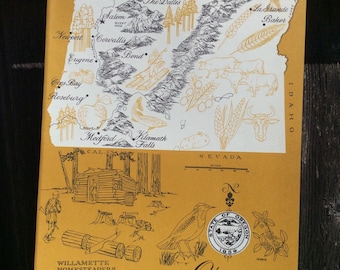
Vintage 1960s Original State Graphic Picture Map of Oregon Bright Colorful Orange Paper
£4.67
£33.13+ incl. postage
-

Digital download
Oregon Map Instant Download - Printable Map, Digital Download, Wall Art, Map of Oregon
£4.69
-
Digital download
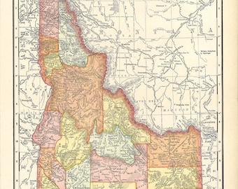
map of Idaho, for home decor, housewarming, crafting, journaling, etc., a printable map, digital download no. 178
£2.81
-
Digital download
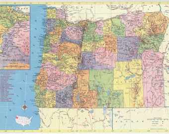
Oregon Vintage Map - Instant Download - Printable Map, Home Library Decor, Wall Art, Antique Map
£4.69
Shoppers with similar taste loved these
-
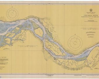
Columbia River Map - Barrington Point to Crims Island - 1948 - Nautical Chart Print
£23.40
£79.67 incl. postage
-
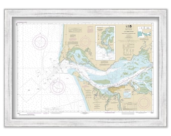
COLUMBIA RIVER, Washington/Oregon - 2012 Nautical Chart
£35.64
Plus postage
-
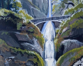
Multnomah Falls, Oregon - Original Gouache Painting on Paper, Unframed
£70.34
Plus postage
-
Columbia River Gorge - 1930 - Nautical Chart Print
£89.05
£145.32 incl. postage
-
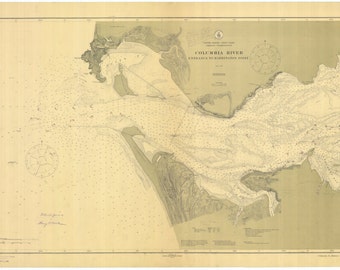
Columbia River Map & Astoria Oregon 1913 - Nautical Chart Print
£23.40
£79.67 incl. postage
-
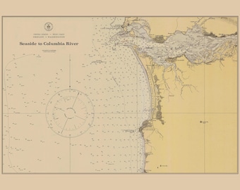
Seaside to Columbia River Map 1920 - Nautical Chart Print
£23.40
£79.67 incl. postage
-
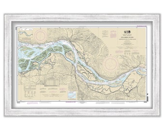
COLUMBIA RIVER - Harrington Point to Crims Island, Washington/Oregon - 2013 Nautical Chart
£35.64
Plus postage
-
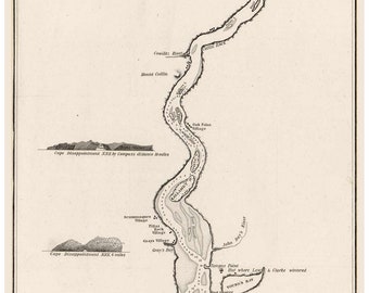
Columbia River Mouth 1837 90 miles Old Map - Reprint 1843 regional
£38.45
Plus postage
-
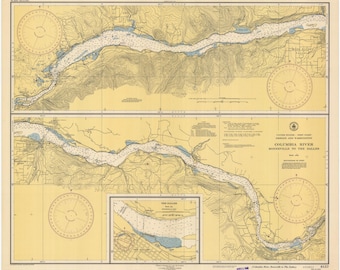
Columbia River Map - Bonneville to the Dalles - 1946 - Nautical Chart Print
£23.40
£79.67 incl. postage
-

1936 Columbia River Map Print: Vintage Wall Art
£27.92
£31.71 incl. postage
-
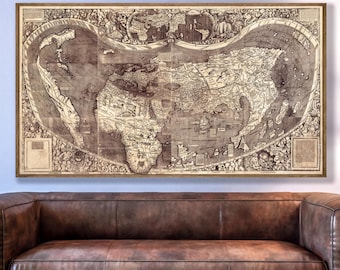
World Map Print, 1507 Waldseemüller Reprint - First Use Of America, Ptolemy
Sale Price £97.83
Original Price £122.29
FREE delivery
-
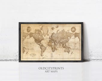
Vintage World Map 1898 Print – Mercator Projection Sepia Antique Wall Art
£45.96
£54.86 incl. postage



 Bridesmaid gifts
 Best men gifts
 Wedding gifts
 Engagement gifts

