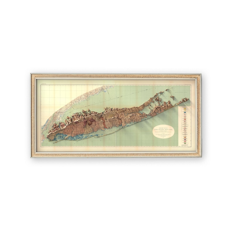
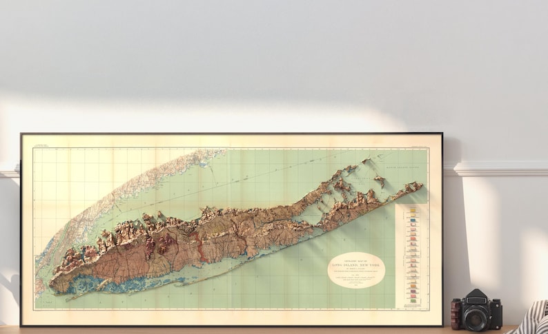
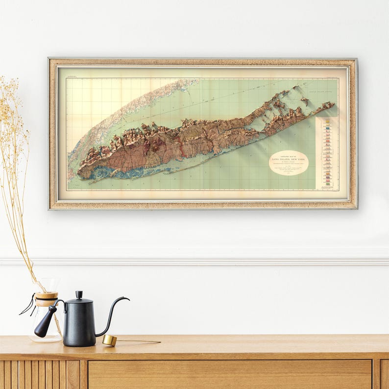
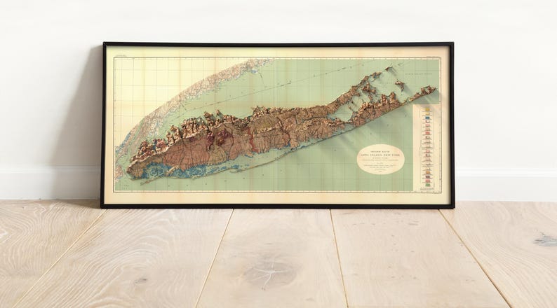
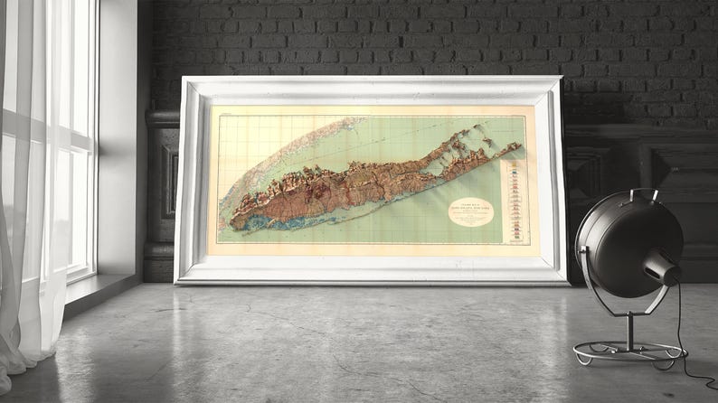


Long Island Geologic Map: Vintage Earth Science Print, NY Coastal Wall Art
NowPrice:₪179.55+
Original Price: ₪256.50+
30% off
Sale ends in 22:47:47
Star Seller
Star Sellers have an outstanding track record for providing a great customer experience—they consistently earned 5-star reviews, shipped orders on time, and replied quickly to any messages they received.
You can only make an offer when buying a single item
Star Seller. This seller consistently earned 5-star reviews, shipped on time, and replied quickly to any messages they received.
Highlights
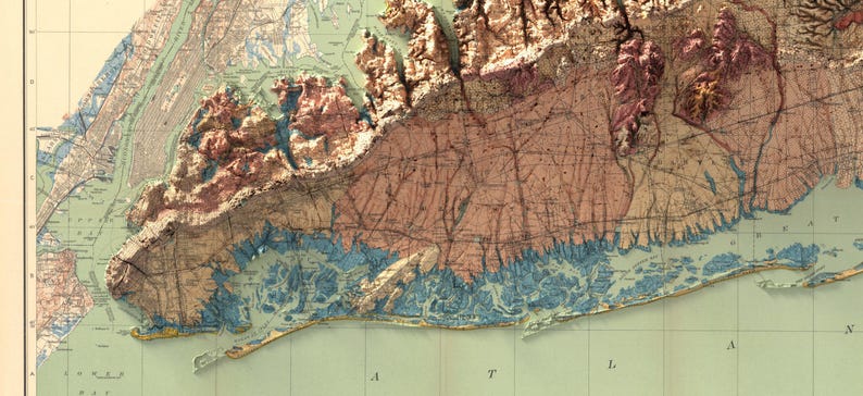
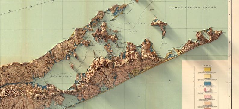
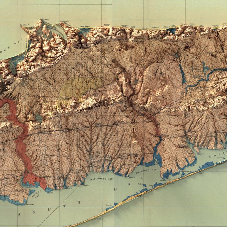
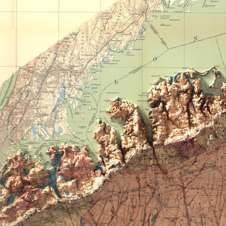
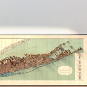
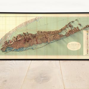
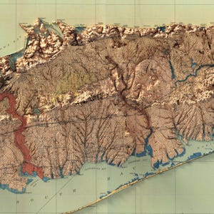
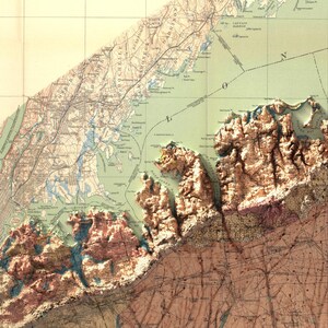
M. L. Fuller's 1913 geological map of Long Island for the U.S. Geological Survey, restored for print. Moraines, outwash plains and the whole shoreline from Brooklyn to Montauk on one sheet.
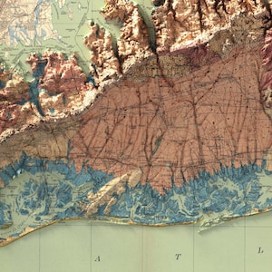
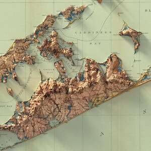
Long Island was built by ice, and glacial landforms are what my PhD in earth science was about. I restored the sheet so the moraine belts and the plains south of them stay easy to tell apart.
YOUR OPTIONS
PRINT ONLY
- Museum grade giclee print on premium matte paper, pigment ink
- Colours sit rich, deep and glare free
- Ships rolled in a rigid protective tube, ready for the frame you choose
FRAMED, READY TO HANG
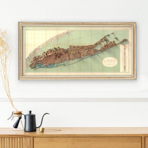
- Black, White, Light Wood, Vintage Bronze or Retro Gold frame, the same museum grade print inside
- Plexiglass front, backing board and hanging hardware included
- Arrives fully assembled: out of the box and onto the wall in one minute
- Black is the timeless gallery choice, Light Wood warms a modern room, Vintage Bronze brings a collected, old world feel, and Retro Gold adds a warm metallic edge
- The 56 x 28 and 60 x 30 sizes ship as Print Only, ready for the frame you choose
NO CUSTOMS, NO IMPORT FEES
US and EU print only orders are printed and shipped inside your own region, so nothing crosses a border and there is nothing to pay at the door. Orders outside the US and EU may be subject to local import fees. Made to order, dispatched in 3 to 5 business days, framed orders a few days longer.
BEFORE YOU ORDER
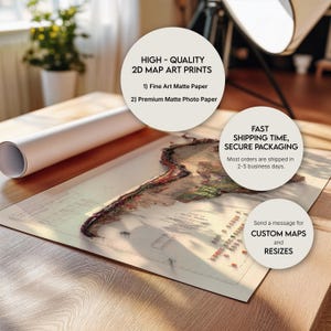
- This is a flat 2D print on paper. The depth you see comes from light and shadow painted into the artwork itself, nothing on the paper is raised or embossed
- One paper, chosen so there is nothing to get wrong: premium matte, pigment ink
- Print Only ships rolled in a rigid protective tube. Framed maps arrive assembled and ready to hang
- Place names in the shaded and mountainous areas are set in fine cartographic type. Up close on the larger sizes you can pick them out one by one; from across the room they settle into texture. If the lettering matters to you, choose the larger size.
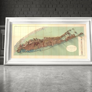
- Room and frame photos are digital mockups made to show scale and colour. The frame you receive is a real moulding in the colour you choose, and wood grain and tone vary a little from piece to piece
- Printed colours sit a touch deeper and quieter than a backlit screen
- Please check your address and phone number at checkout
- If anything arrives damaged, message me first and I will make it right
A framed map is ready to hang the moment you unbox it. For prints, unroll it and let it rest face up for a few hours before framing. Custom maps of any region and alternative colourways are available, just message me.
Production partners
Kuzeyoku makes this item with help from-
Order today to get by Oct 29-Dec 1
Your order should arrive by this date if you buy today. To calculate an estimated delivery date you can count on, we look at things like the carrier's latest transit times, the seller's processing time and shipping history, and where the order is shipping to and from.
-
Returns & exchanges not accepted
But please contact me if you have problems with your order
-
Free shipping
-
Ships from: United States
There was a problem calculating your shipping. Please try again.
Etsy Purchase Protection
Shop confidently on Etsy knowing if something goes wrong with an order, we've got your back for all eligible purchases —
see program terms

Be the first to review this item

More from this shop
Visit shop-

Geological Map of Tennessee 1869: Vintage Style Wall Decor, Topography Art Print
Sale Price ₪134.09
Original Price ₪191.56
-

Michigan Geological Map 1916: Topographic Relief Art Print, Wall Decor, Unique Map Gift
Sale Price ₪225.00
Original Price ₪321.44
-

South America Geology Map (1950): Vintage Relief Print, Antique Style Wall Decor, Topography Art
Sale Price ₪225.00
Original Price ₪321.44
-

Vintage Geological Map of United States: Shaded Relief Terrain, Antique Style Wall Art
Sale Price ₪156.82
Original Price ₪224.03
-
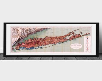
1913 Geologic Map of Long Island, New York - 3D rendered 2D print
₪194.81
-

Vintage Long Island Map Print: Antique Nautical Chart Art
Sale Price ₪213.32
Original Price ₪237.02
-
Long Island | Sailing Chart
₪292.21
-
Long Island Sound | Nautical Chart Number 2754
₪194.81
-
Long Island Map | Old city Plan Restored | Vintage Street Guide Print
Sale Price ₪142.24
Original Price ₪167.34
-
Middle Part of Long Island Sound | Antique Nautical Chart Print
₪194.81
-
Vintage Long Island Map Triptych Print: Antique Nautical Chart Decor
Sale Price ₪213.32
Original Price ₪237.02
-
Long Island Map 1866 - Nautical Chart Print
₪259.58
-

Antique Gardiners Island East, New York 1956 US Geological Survey Topographic Map – Suffolk County, East Hampton, Napeague, Long Island, NY
₪243.51
-
Antique Great Wass Island, Maine 1950 US Geological Survey Topographic Map – Washington County, Beals, Jonesport, Gulf of Maine, ME
₪211.04
-
Long Island map - Vintage map of Long Island - Archival print - Real estate map of Long Island, available on paper or canvas
Sale Price ₪176.25
Original Price ₪207.35
-
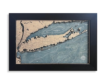
Long Island Map, Long Island Sound, Custom Wood Map, Wood Sign, Beach Sign, Beach Gift, Beach House Decor, Custom Beach Sign, Beach Decor
₪321.44
Shoppers with similar taste loved these
-

Scarsdale, New Rochelle, Mamaroneck 1893 - Old Town Map Reprint - Westchester County, New York - Homeowner Names - NYC Metro Atlas #13
₪133.12
-
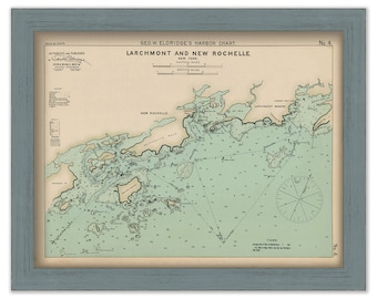
Larchmont, and New Rochelle, New York - Nautical Chart by George W. Eldridge 1901 colored version
₪162.34
-
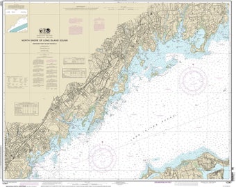
Greenwich Point to New Rochelle - 2013 Nautical Map Connecticut "North Shore of Long Island Sound" - Reprint - AC Harbors 222
₪133.12
-

Town of WESTCHESTER, New York 1868 Map
₪142.86
-
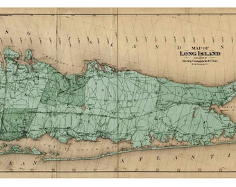
Long Island 1873 Map by Beers, Comstock & Cline (Custom Colors) REPRINT LIP
₪133.12
-
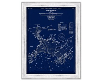
Mamaroneck, New York - Blue Print - Nautical Chart by George W. Eldridge 1901
₪142.86
-
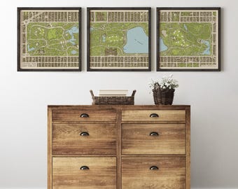
Central Park Map Art Print, New York City Vintage-Style Archival Wall Decor (Unframed)
₪344.16
-

Retro design map of Manhattan, New York, vintage looking map, Manhattan gift, NYC road map, new york city map, ny map, new york road
Sale Price ₪61.04
Original Price ₪76.30
-

Vintage Central Park Map Print: Antique Manhattan Art Decor
Sale Price ₪187.02
Original Price ₪207.80
-

Vintage Central Park Map Print: Antique Manhattan Art Decor
Sale Price ₪187.02
Original Price ₪207.80
-

Vintage New York City Subway Map, Antique 1954 NYC Subway System Map, New York Boroughs Manhattan, Queens, Brooklyn, The Bronx. Ships Free.
₪97.40
-

Central Park Topographic Map Print: Shaded Relief, New York (24"x32")
₪224.03


