


Low in stock, only 1 left
Price: $30.00
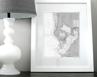
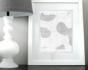
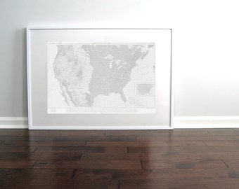
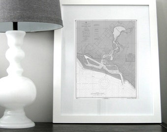
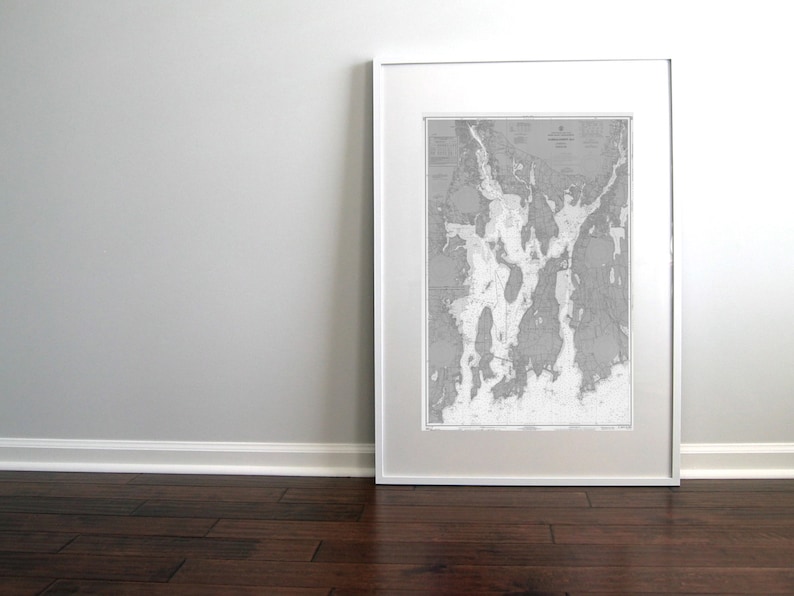
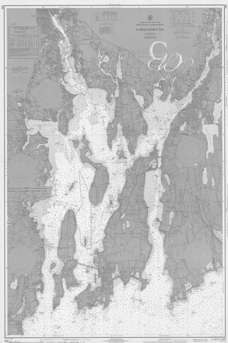
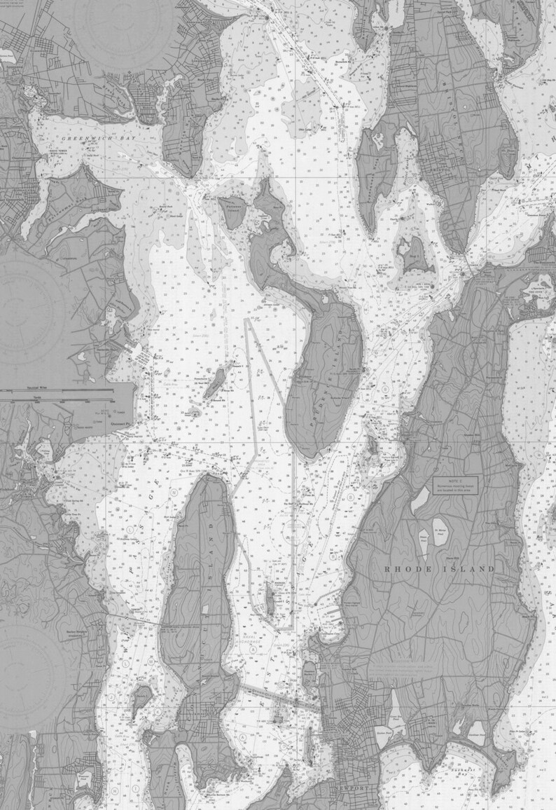
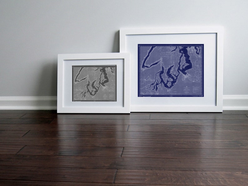
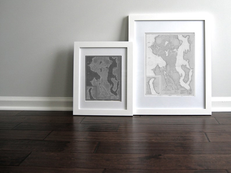
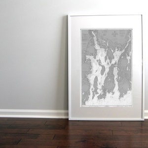
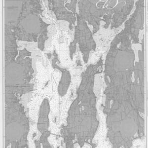
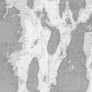
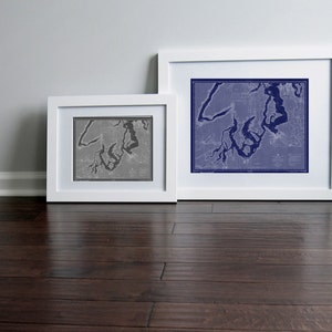
Narragansett Bay Newport Rhode Island Nautical Chart Map 1966 Blue PRINTABLE ART 20 x 30, Map Art Prints, Downloadable Wall Art, Map Art
You can only make an offer when buying a single item
Instant Download
Your files will be available to download once payment is confirmed. Here's how.
Instant download items don’t accept returns, exchanges or cancellations. Please contact the seller about any problems with your order.
Etsy Purchase Protection: Shop confidently on Etsy knowing if something goes wrong with an order, we've got your back for all eligible purchases — see program terms

Other reviews from this shop
|
(120)
Amazing quality! Amy was so helpful and responsive to my questions!
Kaitlin Gillespie Sep 21, 2023
The quality was great, the item match the description and the item more than met my expectations.
Shawn George Oct 23, 2022

Photos from reviews