

NH48 4000 Footers Poster, White Mountains Peak Bagging Map, New Hampshire 48 Checklist, Printable, Tracker Spreadsheet and GPX
20+ views in the last 24 hours
NowPrice:£6.63
Original Price: £9.47
30% off

Designed by Graphite
Here's what's eligible:
- Your order doesn't match the item description or photos
- Your item arrived damaged
- Your item arrived after the estimated arrival window
- Your item didn't arrive or was lost in the mail
You can only make an offer when buying a single item.
Highlights
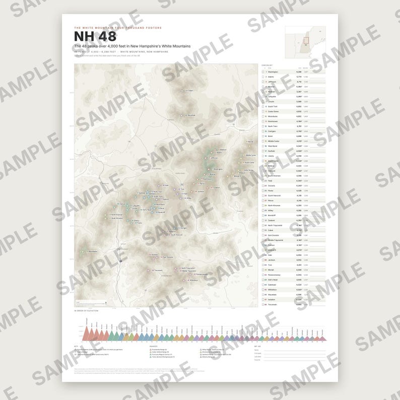
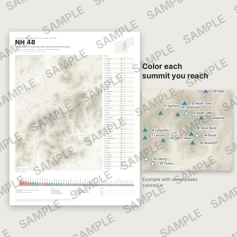
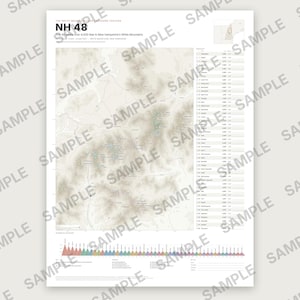
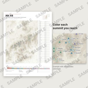
A printable poster of the 48 peaks over 4,000 feet in New Hampshire's White Mountains (the official White Mountain Four Thousand Footers list). Color each summit and write the date when you finish it.
ON THE POSTER
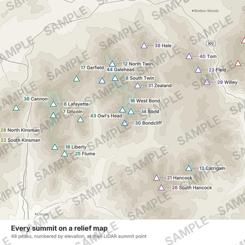
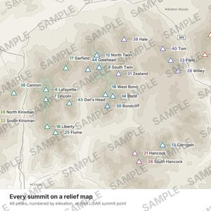
• Relief map with all 48 summits at their real position, numbered by elevation and colored by range. Each summit is a white triangle you can color in.
• Checklist with a check box, official elevation in feet and meters, and a date line.
• All 48 peaks in order of elevation, heights to scale.
• Locator map, main roads, towns, scale bar and a "My 48" box.
WHAT YOU GET (digital download, nothing is shipped)
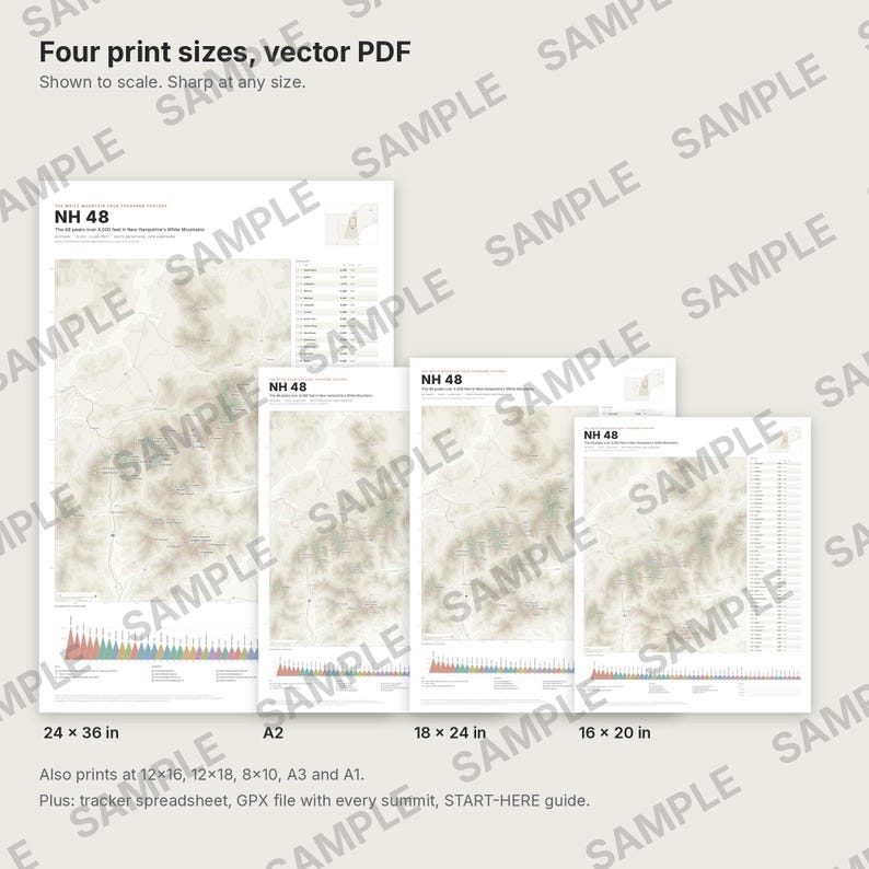
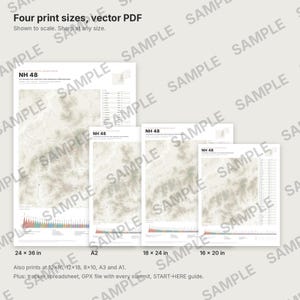
• Vector PDF poster in 4 sizes: 18×24 in, 24×36 in, 16×20 in and A2. They also print exactly at 12×16, 9×12, 12×18, 20×30, 8×10, A3 and A1.
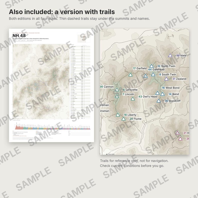
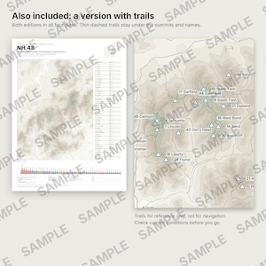
• Two editions of the poster, both included in all 4 sizes: a clean map without trails, and a version with hiking trails drawn as thin dashed lines under the summits and names. Trails are for reference only, not for navigation; check current conditions.
• You download 3 ZIP files: posters without trails, posters with trails, and the spreadsheet + GPX + guide.
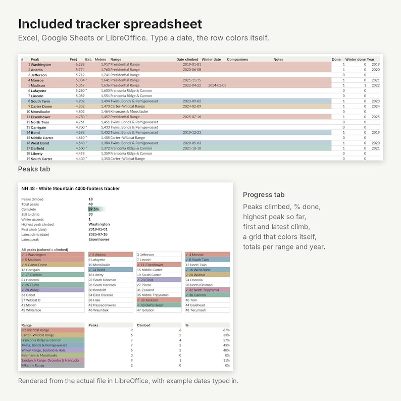
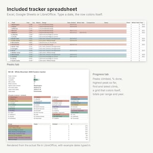
• Tracker spreadsheet (.xlsx, no macros; Excel, Google Sheets, LibreOffice): type the date of each summit and the row and a grid of all peaks color themselves. Counts peaks done, percent, highest so far, first and latest climb, winter ascents, totals per range and per year. Includes a tab with the coordinates of every summit.
• GPX file with every summit as a waypoint (GPX 1.1, validated against the official schema) for mapping apps and GPS units.
• START-HERE.pdf with printing and usage tips.
THE DATA
• Names and elevations: the official list as printed on the 2026 application form. An asterisk marks elevations the list gives as estimated (interpolated). Note: the club's web page gives Wildcat "D" as 4,050 ft while the 2026 form gives 4,070 ft; the poster follows the form.
• Summit positions: the highest point of the USGS 1 m LiDAR elevation model (3DEP) at each summit. Relief: USGS 3DEP. Names: USGS GNIS. Roads: U.S. Census TIGER/Line. All public domain.
• Trails (trail edition): the USDA Forest Service National Forest System Trails dataset (public domain), downloaded October 2026. Only trails in that dataset are shown; a few trails on state-park or private land may be missing.
HOW IT WAS MADE
Generated and checked by software. A separate verification program reads the finished PDFs and checks that all 48 peaks appear exactly once, that every printed elevation matches the official list, that every triangle sits on its summit, and that no text overlaps; in the trail edition it also checks that every trail lies on the source data, stays inside the map frame and never touches a name or a summit. The spreadsheet was recalculated in LibreOffice in 4 test scenarios (940 values checked, plus the color of every row and cell). The GPX was validated against the GPX 1.1 schema and every point compared with its summit (max difference 0.01 m). 22 deliberately planted errors were all caught.
Digital download for personal use. Not for navigation.
Not affiliated with or endorsed by the Appalachian Mountain Club or its Four Thousand Footer Committee.
Instant Download
Your files will be available to download once payment is confirmed. Here's how.
Instant download items don’t accept returns, exchanges or cancellations. Please contact the seller about any problems with your order.
Etsy Purchase Protection
Shop confidently on Etsy knowing if something goes wrong with an order, we've got your back for all eligible purchases —
see programme terms

More from this shop
Visit shop-
Digital download
Adirondack 46 High Peaks Poster, Peak Bagging Map of the 46, Printable Checklist, Hiking Tracker Spreadsheet and GPX, New York
Sale Price £6.63
Original Price £9.47
-

Digital download
reMarkable Planner 2026 2027, Hyperlinked PDF E-ink Templates for Kindle Scribe, Supernote, Boox & Paper Pro Move, Daily Weekly
Sale Price £9.61
Original Price £13.73
-

Digital download
Tablet Weaving Pattern PDF, 20 Double Face Winter Bands, Card Weaving Alphabet, Name Charts, Snowflake and Christmas Bands
Sale Price £6.63
Original Price £9.47
-
Digital download
Deep-Sky Framing Atlas 2027 for Seestar S30 S50 S30 Pro S50 Pro, Target Planner PDF, Dark Nights & Moon, 4 Latitudes, CSV
Sale Price £9.61
Original Price £13.73