




Arches National Park Hiking Guide, Moab & Canyonlands Itinerary, Trail Map, 10 Best Day Hikes, Delicate Arch, Printable Utah PDF
OraPrezzo:2,98 €
Prezzo originale: 4,29 €
31% di sconto
La promozione termina il 16 novembre
Ecco cosa è idoneo:
- L'ordine non corrisponde alla descrizione o alle foto dell'articolo
- L'articolo è arrivato danneggiato
- Il tuo articolo è arrivato dopo l'intervallo di date stimato per l'arrivo.
- L'articolo non è arrivato o è stato perso nella posta
Puoi fare un'offerta solo acquistando un singolo articolo
Punti salienti
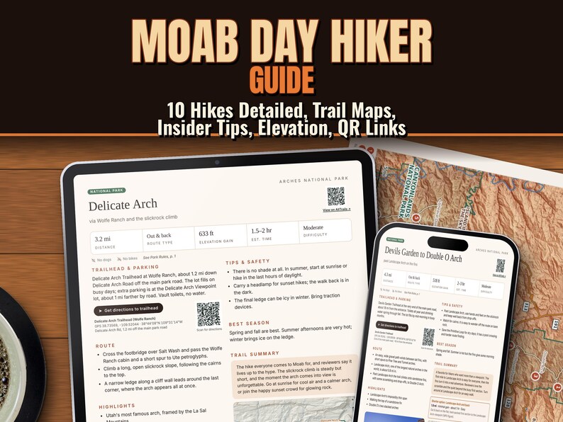
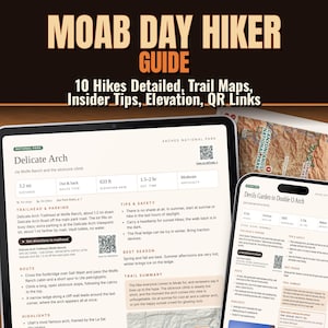
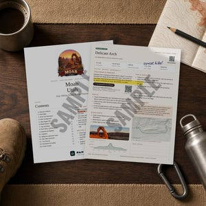
Ten of the best day hikes in Arches, Canyonlands and around Moab, Utah on clear printable pages, with trail maps, elevation profiles and QR code trailhead directions.
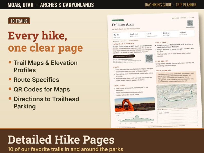
Skip the hours of research. Each hike is on one clear page, so you can pick the right trail and get to the right trailhead.
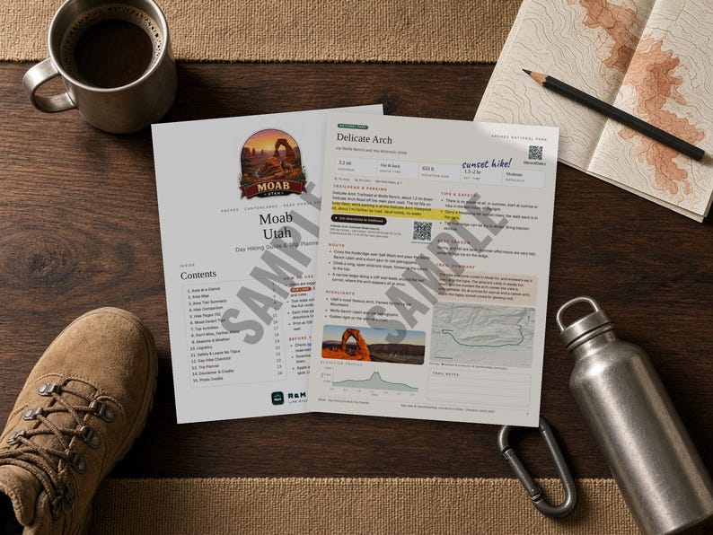
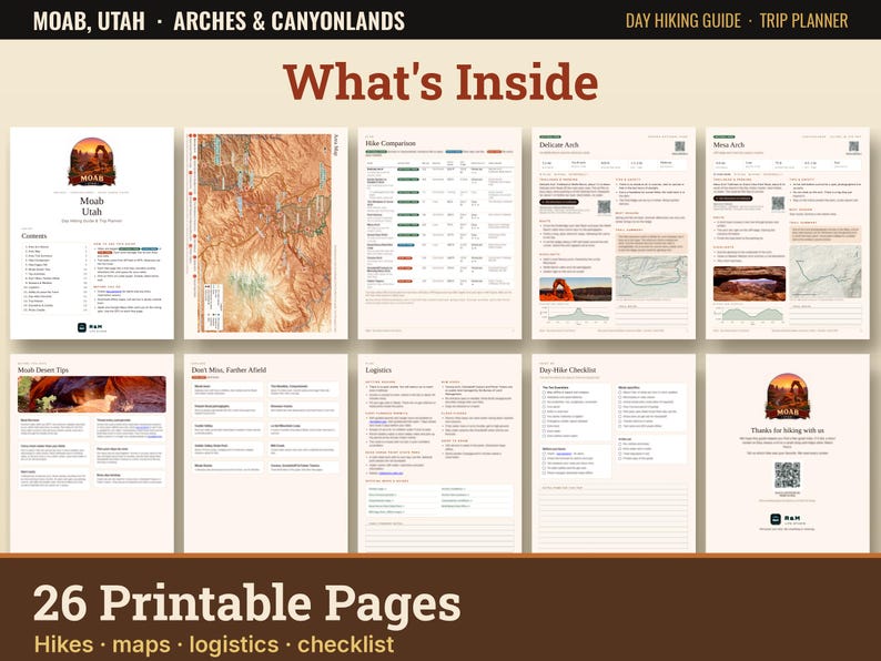
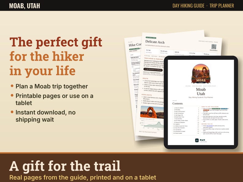
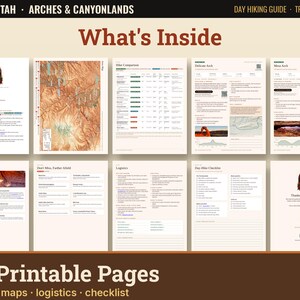
WHAT'S INSIDE (26 printable pages)
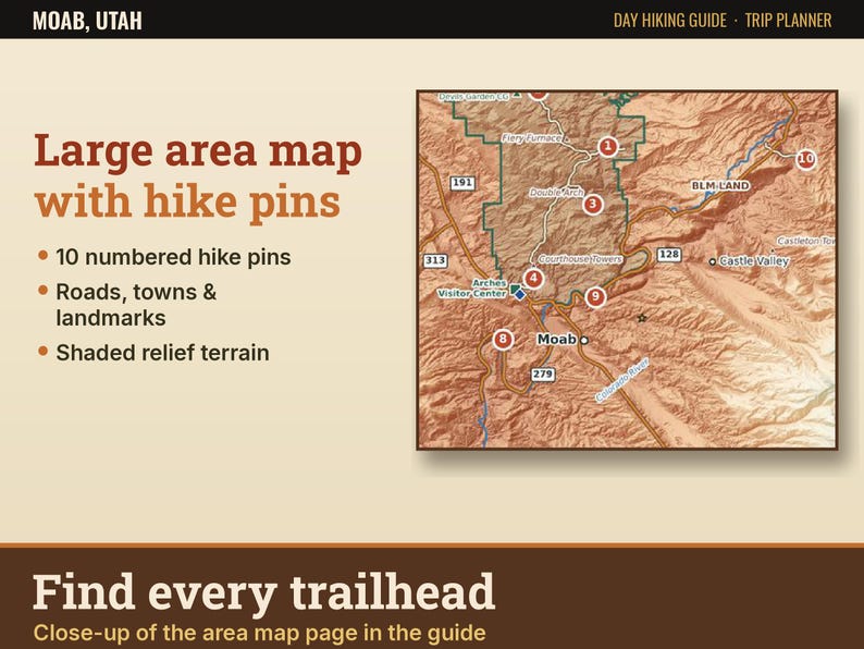
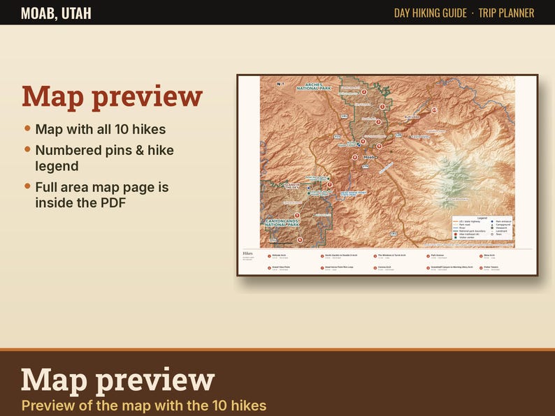
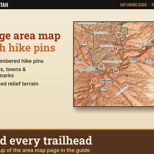
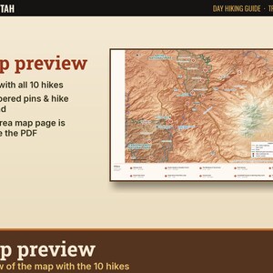
- Area at a glance, park rules and a large, detailed area map with roads, towns, entrances, visitor centers, campgrounds, viewpoints and landmarks
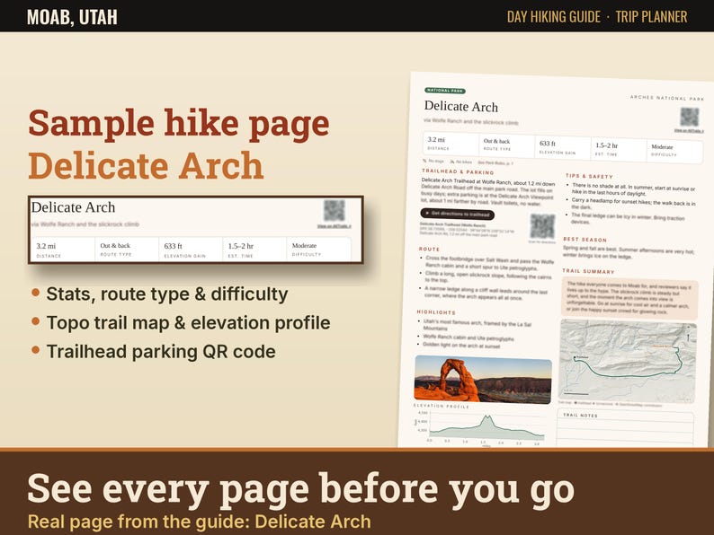
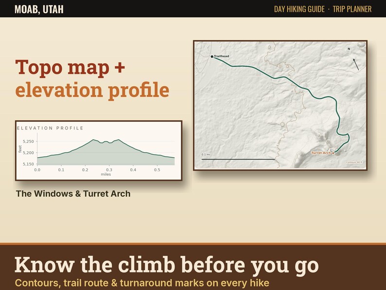
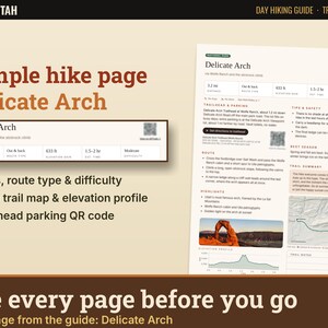
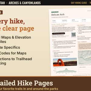
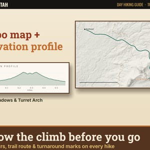
- 10 detailed hike pages with topo trail maps and elevation profiles
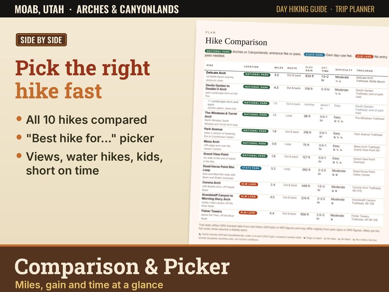
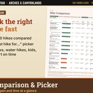
- Comparison table: miles, route type, elevation gain, time and difficulty
- Moab desert tips: heat, water, entry and permits, planning your days by area
- Top activities and don't-miss spots farther afield
- Seasons and weather, logistics (Fiery Furnace permits, Dead Horse Point fees, official maps)
- Safety and Leave No Trace
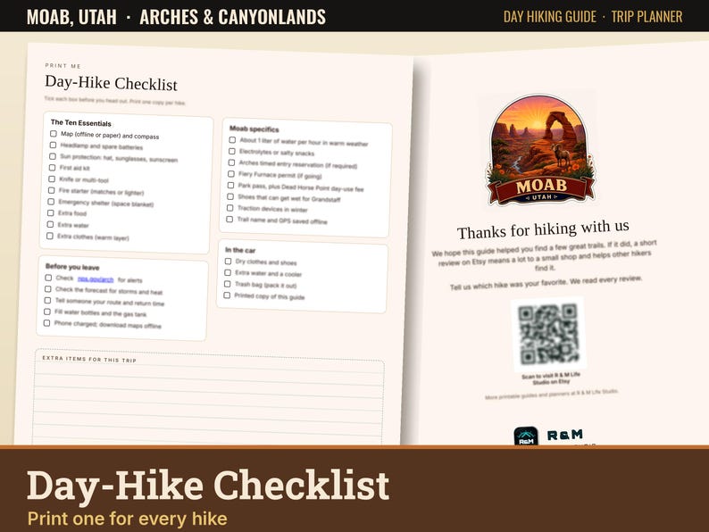
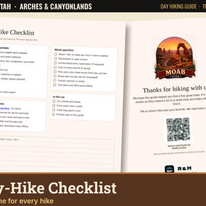
- Trip planner pages and a printable day-hike checklist
THE 10 HIKES
1. Delicate Arch (Arches)
2. Devils Garden to Double O Arch (Arches)
3. The Windows & Turret Arch (Arches)
4. Park Avenue (Arches)
5. Mesa Arch (Canyonlands)
6. Grand View Point (Canyonlands)
7. Dead Horse Point Rim Loop (state park)
8. Corona Arch (BLM land)
9. Grandstaff Canyon to Morning Glory Arch (BLM land)
10. Fisher Towers (BLM land)
FEATURES
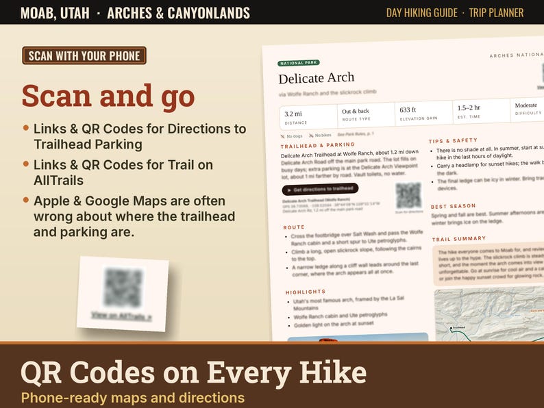
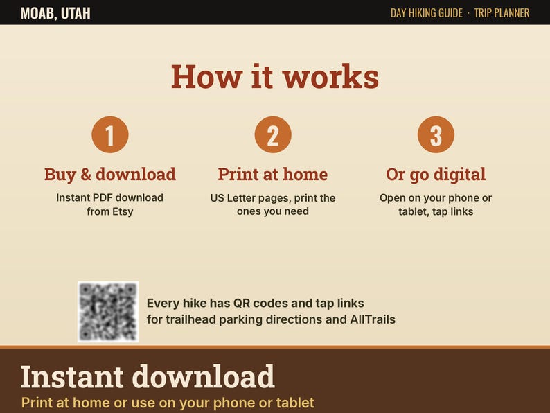
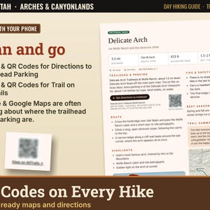
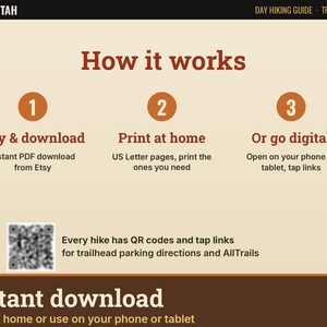
- QR codes and links on every hike for directions to the trailhead and the AllTrails page
- Phone maps often send you to the wrong spot. These directions use GPS points for the actual trailheads.
- Distance, gain, time, difficulty, route type, dog rules and parking notes for every hike
- Easy to moderate options, from a short sunrise walk to Mesa Arch to the cable and ladder on Corona Arch
WHO IT'S FOR
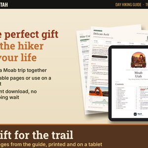
First-time visitors, families, dog owners (three dog-friendly BLM hikes plus Dead Horse Point), couples planning a Utah road trip, and anyone who wants a simple plan for Moab. A nice gift for the hiker in your life.
HOW YOU GET IT
- Instant digital download. No physical item ships.
- One PDF file, US Letter size (8.5 x 11 in)
- Print at home or at a print shop, or use it on your phone or tablet
- Clickable links work in the PDF
LICENSE
Personal use only. No reselling or sharing.
Trail info is general guidance. Always check current conditions and park rules before you go. This guide is not affiliated with the National Park Service, Utah State Parks or the BLM.
Some parts were created with the help of AI.
Download istantaneo
I tuoi file saranno disponibili per il download una volta confermato il pagamento. Ecco come.
Gli articoli con download istantaneo non accettano resi, cambi o annullamenti. In caso di qualsiasi problema relativo all'ordine, contatta il venditore.
Protezione degli acquisti di Etsy
Acquista con sicurezza su Etsy sapendo che in caso di problemi con un ordine proteggeremo tutti i tuoi acquisti idonei.
vedi termini programma


Altro da questo negozio
Visita negozio-
Download digitale
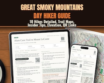
Smoky Mountains Hiking Guide, Printable Trail Map & Itinerary, 10 Best Day Hikes, Waterfall Hikes, Gatlinburg Trip Planner PDF
Prezzo scontato 2,97 €
Prezzo originale 4,29 €
-
Download digitale
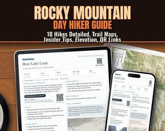
Rocky Mountain National Park Hiking Guide, RMNP Itinerary & Trail Map, 10 Best Day Hikes, Sky Pond, Estes Park, Printable PDF
Prezzo scontato 2,97 €
Prezzo originale 4,29 €
-
Download digitale
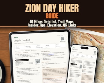
Zion Hiking Guide, Zion National Park Itinerary & Trail Map, 10 Best Day Hikes, Angels Landing, The Narrows, Printable Utah Trip PDF
Prezzo scontato 2,97 €
Prezzo originale 4,29 €
-
Download digitale
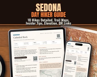
Sedona Hiking Guide, Sedona Itinerary & Trail Map, 10 Best Day Hikes, Cathedral Rock, Devils Bridge, Arizona Printable PDF Planner
Prezzo scontato 2,97 €
Prezzo originale 4,29 €
Lascia la prima recensione
Gli acquirenti con gusti simili hanno apprezzato questi articoli
-

DIY National Park Push Pin Map with Tree Push Pins, Outdoors Travel USA United States 2nd Anniversary Cotton Birthday, Gift For Him
121,35 €
-

National Parks Journal – Track 63 U.S. National Park Visits, Adventure Log Book
Prezzo scontato 24,32 €
Prezzo originale 37,42 €
-

Camping Hoodie, Outdoors Hoodie, Forest Hoodie, Aesthetic Pine Tree Hoodie, Wanderlust Hoodie, Nature Lover Gift, Adventure Hoodie
27,21 €
-

Custom Family Camping Sweatshirt, Personalized Mountain Hiking Adventure Vacation Trip Matching Sweater
Prezzo scontato 15,08 €
Prezzo originale 26,46 €
-

Of All the Paths You Take" Hoodie – Nature Quote Hiking Hoodie, Dirt Path Adventure Pullover, Outdoorsy Unisex Sweatshirts, Gift for Hikers
Prezzo scontato 8,50 €
Prezzo originale 28,33 €
-

Outdoor Hoodie, Outsider by Choice Sweatshirt, Outsider Hoodie, Mountain Hiking Camping Crewneck, Pine Tree Reindeer On Sleeve Sweatshirt
Prezzo scontato 9,35 €
Prezzo originale 17,01 €
-

Personalized Camp Squad Family Shirts, Custom Matching Camping Vacation Tees, Camp Dad Mama Kids Outfits, Family Campfire Trip Gift
Prezzo scontato 7,32 €
Prezzo originale 14,63 €
-

Custom Family Camping Crew Shirt
Prezzo scontato 16,70 €
Prezzo originale 25,70 €
-
National Parks Push Pin Map USA: Personalized Travel Keepsake Gift
112,28 €
-

Handmade National Parks USA Map, Family Road Trip Tracker
Prezzo scontato 63,51 €
Prezzo originale 90,73 €
-

Framed National Park Travel Map: Laser Engraved Wood, Custom Adventure Tracker
107,74 €
-

NATIONAL PARK Travel Map, National Park Gift, custom National Park map, National park map, National park marker, National park lover
Prezzo scontato 98,89 €
Prezzo originale 123,62 €


