

Yosemite Valley California Elevation Art Print, In Profile Ridgeline Poster, Topographic Line Wall Art, Printable, Three Colors, Six Sizes
NowPrice:£9.20
Original Price: £11.51
20% off
Here's what's eligible:
- Your order doesn't match the item description or photos
- Your item arrived damaged
- Your item arrived after the estimated arrival window
- Your item didn't arrive or was lost in the mail
You can only make an offer when buying a single item.
Highlights
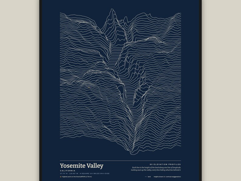
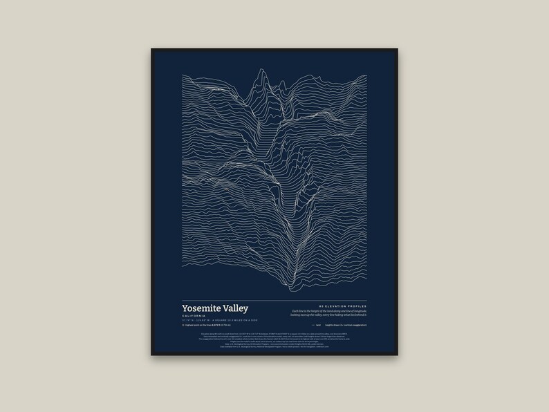
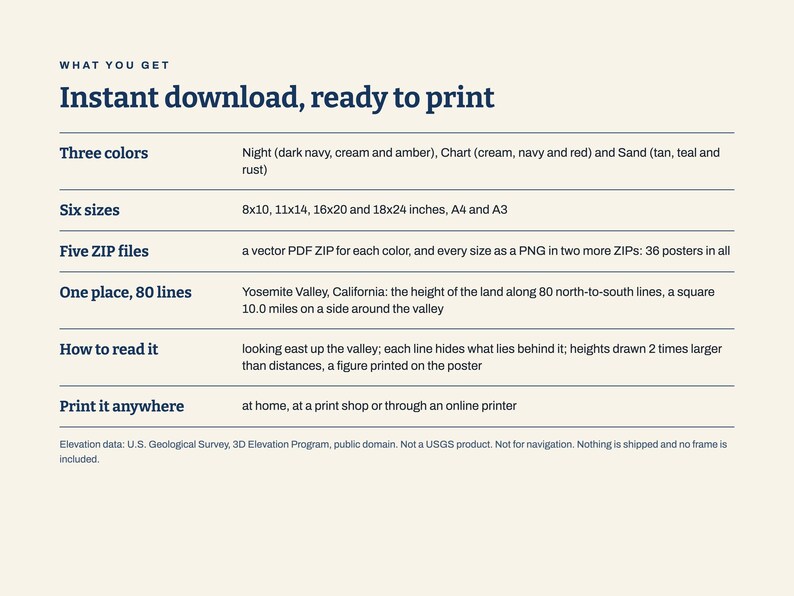
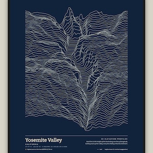
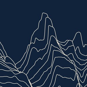
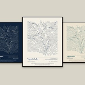
Yosemite Valley, California, drawn as 80 stacked elevation profiles: the shape of the land, line by line.
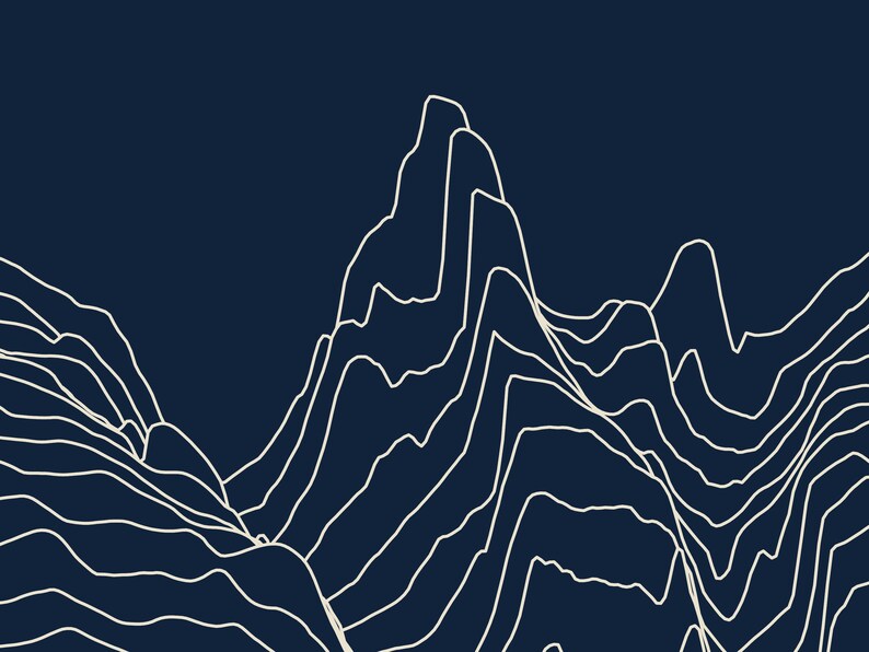
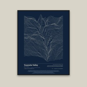
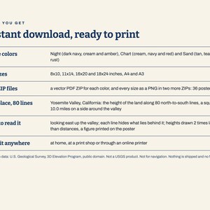
How to read it: the view looks east up the valley. Each line is the height of the land along one line of longitude, running north (left) to south (right). The easternmost line is at the top of the page, and every line hides what lies behind it, so the land stands up off the paper. A small ring marks the highest point on the lines, 8,970 ft (2,734 m), on the high ground north of the valley; Half Dome is the tall spike on the back line.
What is drawn: a square 10.0 miles on a side around the valley, set by hand (a valley has no single high point to center on). The plan is to scale. Heights are drawn 2 times larger than distances (vertical exaggeration 2×), and that figure is printed on the poster. The exaggeration comes from the set's rule: the smallest whole number that draws the frame's relief at least one-fifth as tall as the frame is wide.
The data: the U.S. Geological Survey's 3D Elevation Program, 1 arc-second elevation model, which is in the public domain. Data available from U.S. Geological Survey, National Geospatial Program. The data are resampled and vertically exaggerated 2×: each line is one column of the model, every cell, not smoothed. Heights are the model's, on cells about 100 ft across, so a sharp top can read lower than its surveyed height.
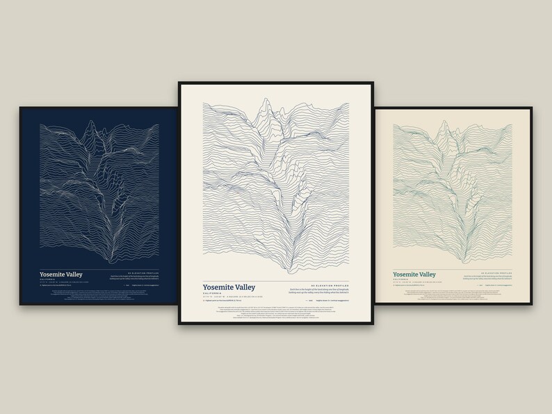
What you get: five ZIP files. Three hold the print-ready vector PDFs, one ZIP for each color: Night (dark navy, cream and amber), Chart (cream, navy and red) and Sand (tan, teal and rust), each in six sizes (8x10, 11x14, 16x20 and 18x24 inches, A4 and A3). The other two hold the same posters as PNG pictures in all three colors: one for 8x10, 11x14 and A4 (300 dots per inch), one for 16x20, 18x24 and A3 (200 dots per inch). This is an instant digital download. Nothing is shipped and no frame is included; you print it at home, at a print shop or through an online printer. For your own personal use.
Please note: Not a USGS product. Not for navigation. Not reviewed or endorsed by the U.S. Geological Survey. It is art made from elevation data.
The photos show the poster in frames on a wall to show how it looks hung; the frames and the wall are not part of the order.
The layout and the software were made with the help of AI tools; the lines are computed from the elevation data.
Instant Download
Your files will be available to download once payment is confirmed. Here's how.
Instant download items don’t accept returns, exchanges or cancellations. Please contact the seller about any problems with your order.
Etsy Purchase Protection
Shop confidently on Etsy knowing if something goes wrong with an order, we've got your back for all eligible purchases —
see programme terms


More from this shop
Visit shop-
Digital download
Mount Rainier Washington Elevation Art Print, In Profile Ridgeline Poster, Topographic Line Wall Art, Printable, Three Colors, Six Sizes
Sale Price £9.20
Original Price £11.51
-
Digital download
Mount Shasta California Elevation Art Print, In Profile Ridgeline Poster, Topographic Line Wall Art, Printable, Three Colors, Six Sizes
Sale Price £9.20
Original Price £11.51
-
Digital download
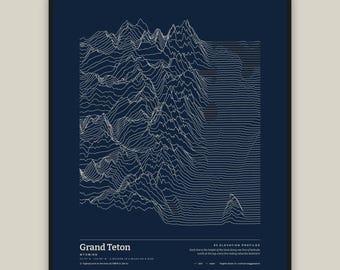
Grand Teton Wyoming Elevation Art Print, In Profile Ridgeline Poster, Topographic Line Wall Art, Printable, Three Colors, Six Sizes
Sale Price £9.20
Original Price £11.51
-
Digital download
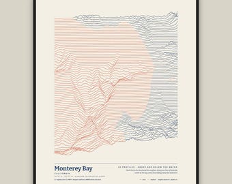
Monterey Bay California Ocean Depth Art Print, Above and Below Bathymetric Poster, Line Wall Art, Printable, Three Colors, Six Sizes
Sale Price £9.20
Original Price £11.51
Be the first to leave a review
-
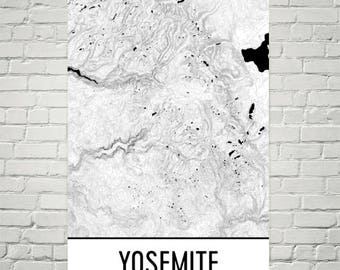
Yosemite Topographic Map Print: Minimalist Mountain Art
£17.98
£43.88 incl. postage
-
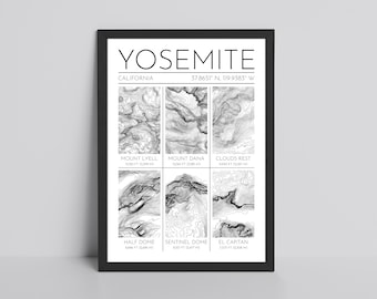
Yosemite Topographic Glossy Print - California National Park, El Capitan, Half Dome Contour Line Poster
£12.99
FREE delivery
-
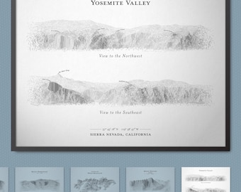
Yosemite Valley Terrain Sketch Wall Art
£18.18
FREE delivery
-
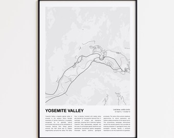
Yosemite Valley Map Print, Yosemite Valley Travel Map, Yosemite Valley Wall Decor Art, Yosemite Valley California, Housewarming Gift
Sale Price £9.34
Original Price £12.46
FREE delivery
-
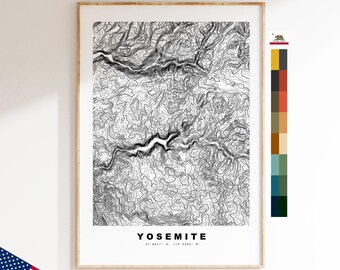
Yosemite Map Print - Contour Map Print - Topographic Map - Poster - Wall Art - USA Mountain Maps - California
£4.99
FREE delivery
-

Digital download
Yosemite National Park Topographic Map Print: Minimalist Black and White (Digital Download)
£6.36
-
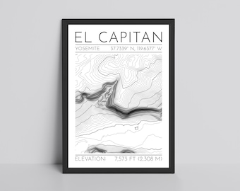
El Capitan Topography Map Glossy Print | Yosemite Contour Lines Print | California Topographic Print | Hiking Travel Print | National Park
£12.99
FREE delivery
-
Digital download
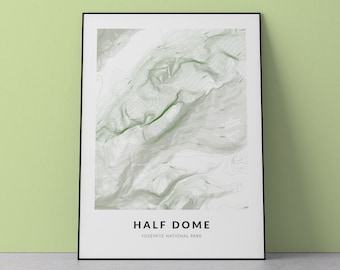
Half Dome Topographic Map Print: Yosemite National Park (Digital Download)
Sale Price £4.80
Original Price £9.59
-
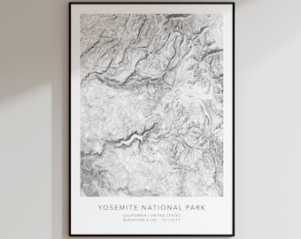
Yosemite National Park Map Print | Topographic Contour Map | Yosemite California | Topographic Print | Modern Map Art | Minimalist Map Print
£23.97
£29.72 incl. postage
-

El Capitan Topographic Print: Yosemite National Park Art
£17.98
£43.88 incl. postage
-
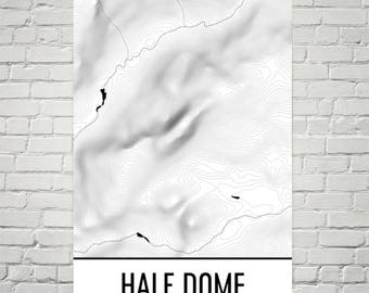
Half Dome Topographic Map Print: Yosemite National Park Art
£17.98
£43.88 incl. postage
-
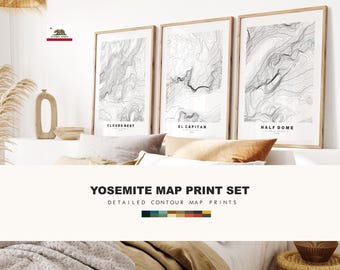
Yosemite Map Print Set x3 - Map Prints - El Capitan / Clouds Rest / Half Dome - Yosemite Valley - Yosemite National Park - USA - California
£9.99
FREE delivery
Shoppers with similar taste loved these
-

Dragon Baby Mobile, Handmade Felt Crib Mobile, Green Dragon Moon Stars Clouds, Fantasy Nursery Decor, Baby Shower Gift, Gender Neutral
£141.59
Plus postage
-

Appalachian Trail Map - 10"x48" Linear Version
£52.75
£73.80+ incl. postage
-

New Home Magnetic Key Holder, Custom Wood Map, Personalized Coordinates
Sale Price £66.47
Original Price £94.96
FREE delivery
-

Old World map Teacher skinny fabric lanyard
£10.85
£14.75 incl. postage
-

1795 Ireland Surname Map Print: Vintage Irish Genealogy Art
Sale Price £20.14
Original Price £26.86
Plus postage
-
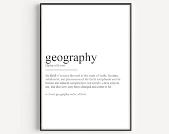
Geography Definition Print
£12.00
FREE delivery
-

Personalized Copper Anniversary Gift for Husband – Engraved Compass Keepsake with Photo & Handwritten Message – Wedding Gifts For Couples
Sale Price £16.79
Original Price £33.57
£35.98 incl. postage
-

Without Geography, We Would Be Nowhere Sticker | History Sticker | Social Studies Teacher | Geography Teacher Humor | Waterproof Sticker
£3.36
Plus postage
-

Appalachian Trail Topographic Map Print Wall Art
Sale Price £36.00
Original Price £48.00
FREE delivery
-
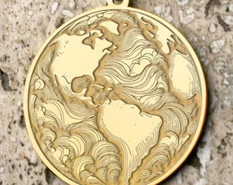
World Map Necklace: Sterling Silver, Gold Plated, or Solid Gold - Travel Pendant
Sale Price £65.13
Original Price £93.04
FREE delivery
-

Genuine Leather iPhone MagSafe Case | Sizes iPhone 13 Mini, 13, iPhone 13 Pro, iPhone 13 Pro Max -Birthday, Anniversary Gift
£20.85
£41.90+ incl. postage
-

Black Topographic Phone Case, Map Terrain Elevation Lines Abstract Design, Charcoal Black Protective Hard Cover
£26.73
£33.41 incl. postage