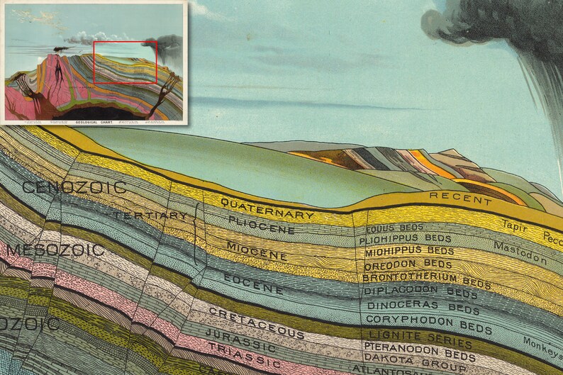
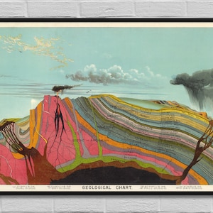
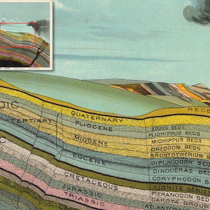
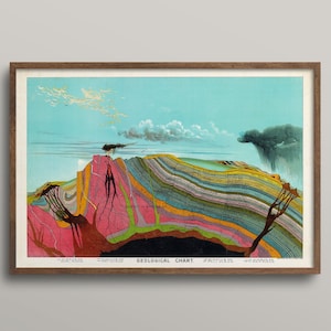
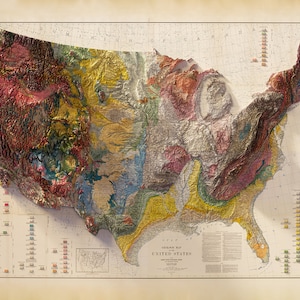
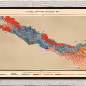
Geological Chart digital poster map / terrestrial minerals fine art geography USA / geologist school gift wall art decor / INSTANT DOWNLOAD
Author: Yaggy, Levi Walter
Date: 1893
Note: Yaggy's large geographical charts are among the most beautiful and impressive educational charts published in the 19th century. Using chromolithography, Yaggy created stunning colors and contrasts in his images of the world, its regions, and peoples. The ten charts in this set were originally housed in a large wooden portfolio that also served as a display mechanism, allowing the charts to be tilted up for classroom use. In the portfolio were also two elaborate charts of the universe with moving parts and tinted gels. In 1887 Yaggy published a set of charts with a similar theme, "Geographical Study: Comprising Physical, Political, Geological and Astronomical Geography," although it did not include any of the chromolithographic charts in our 1893 set. Rather it had more conventional maps of the world and nations. Yaggy intended his charts to be used in classrooms by students, and issued a teacher’s handbook to assist with instruction.
>>>>>>>>>>>>>>>>>>>>>>>>>>>>>>>>>>>>>>>>>>>>>>>>>>>>>
This print measures 24 x 36 inches (60,96 x 91,44 cm)
Format - JPG
Resolution - 300 dpi
If necessary individual poster size, we will be able to discuss the order.
The files will be delivered electronically. Within minutes of your order and payment, an email will be sent to the address you have associated with your Etsy account with a link for your download.
>>>>>>>>>>>>>>>>>>>>>>>>>>>>>>>>>>>>>>>>>>>>>>>>>>>>>
PLEASE:
- Do no share these graphics;
- Do not resell files;
- Do not add to image collections for sale;
- No Swapping.