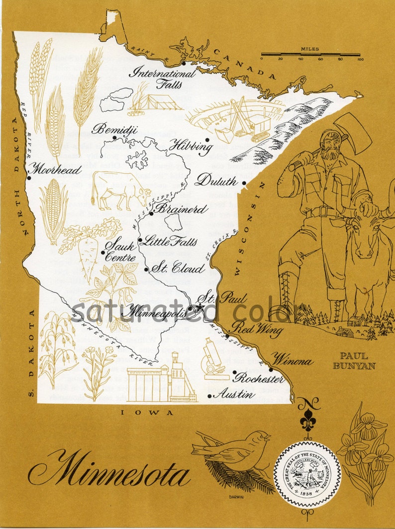
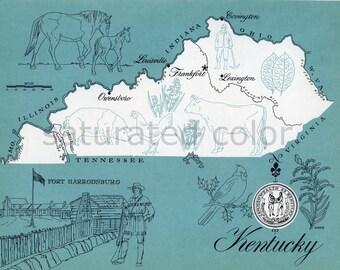
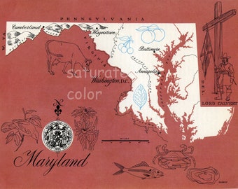
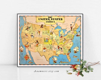
Vintage Minnesota Map
1930s High Res DIGITAL IMAGE . I scanned it at a 300 dpi resolution.
For more in this DIGITAL IMAGE series:
https://www.etsy.com/shop/SaturatedColor/search?search_query=retro+color+digital+image&order=date_desc&view_type=gallery&ref=shop_search
For more ORIGINAL MAPS in this series go here:
https://www.etsy.com/shop/SaturatedColor/search?search_query=Original+retro+picture+map&order=date_desc&view_type=gallery&ref=shop_search
The original map I scanned was once part of a 1960s geography text book.I think it would be fun to frame several of these maps and display them in a group. For instance, a group might include your home state, states you've resided in, visited on vacation or a honeymoon, etc.
When printed the entire page measures *about* 8 x 10 inches.
_________________________
Saturated Color retains all copyrights to our digital image file. Purchasing this file does not transfer the copyright. Purchasing this file grants you a license to use the image to create tangible crafts for your own personal use and limited commercial use in a small home based business setting. You may use our images to create a new tangible item finished by your hands. Your tangible items intended for resale must be altered. You can not resell the image as is, in a digital or printed format
No large scale mass produced items allowed.
Saturated Color digital Images may not be redistributed or reproduced for resale in a digital format. Saturated Color Digital images may not be given away in their original digital format. Please refer any interested party to our Store to purchase their own copy.
©2013 Saturated Color - All Rights Reserved