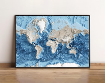
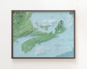
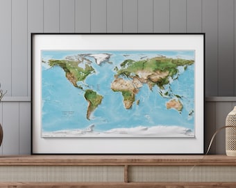
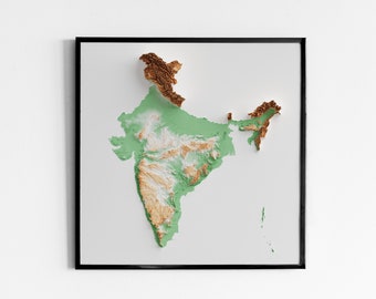
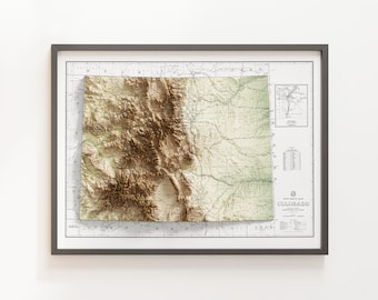
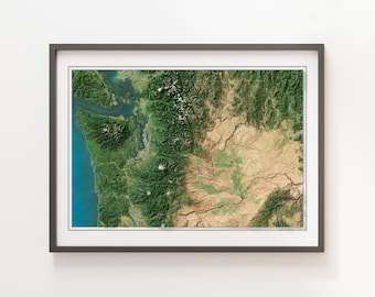
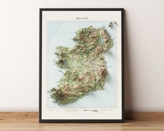
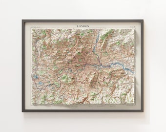
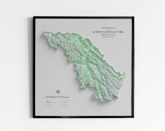
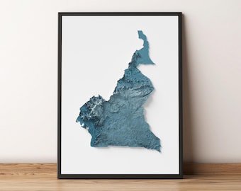
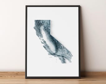
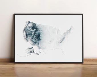
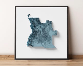
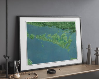
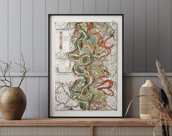
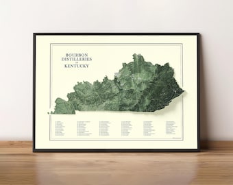
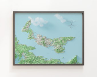
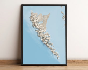
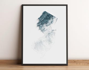
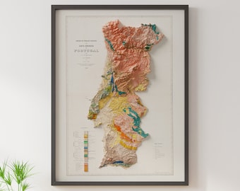
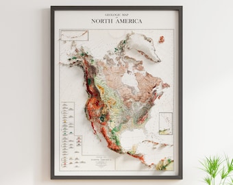
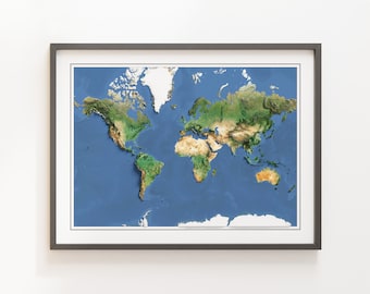
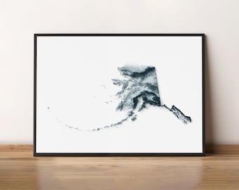
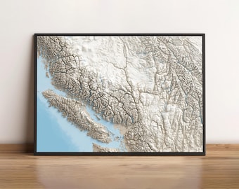
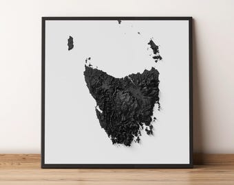

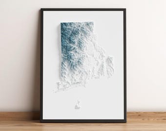
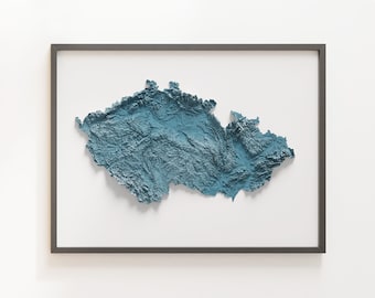
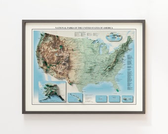
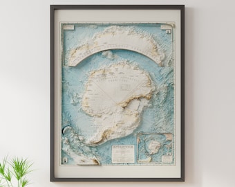


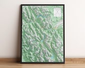
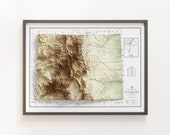
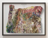

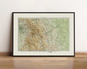
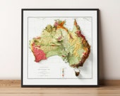
Shaded Relief Wall Maps
My journey in cartography began when I pursued a post-graduate program in GIS at the Centre of Geographic Sciences in Lawrencetown, Nova Scotia, Canada. For 15 years I've worked for Engineering and Construction firms on some of the largest infrastructure projects worldwide providing GIS and Remote Sensing expertise.
More recently in my spare time I've become familiar with a new mapping technique that goes beyond traditional hill shading methods common to popular mapping softwares. The process combines all my favorite parts of GIS and map making by manipulating surface models, projections, and now 3d rendering.
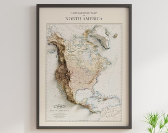
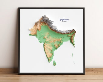
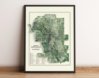
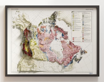
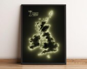
The first map I created with the technique was the Nova Scotia 1:1M Topographic Map first published by Natural Resource Canada in 1967. When I printed it for the first time on the etched art paper I was blown away. I truly hope you have the same reaction with which ever map you choose and hope that you enjoy it hanging on your wall as much as I do!