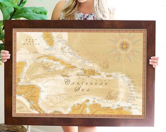
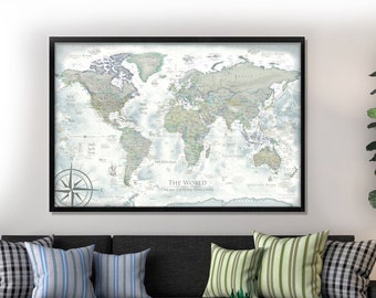
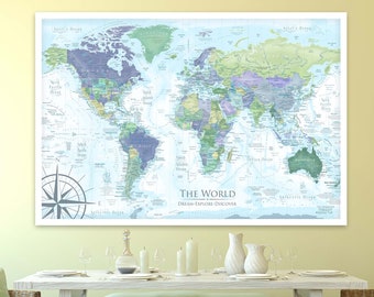
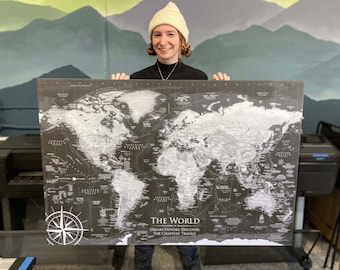
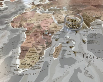
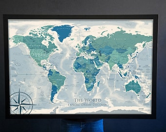
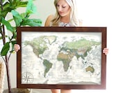
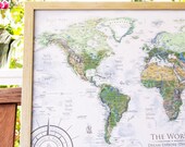
⭐ Maps for Geography enthusiasts, USA and World Travelers!⭐ What sets our maps apart is our expertise and Master's level education in Geography, GIS, and Cartography. Why Choose GeoJango Maps? Geography isn't just a subject—it's our passion and profession. We take it seriously so that you can delight in exploring our creations for years to come. Our maps are not merely decorative; they are comprehensive guides meticulously designed to reveal layers of detail, inviting endless discovery and learning. Utilizing advanced GIS technology and crafted by expert geographers, each map is a museum-quality treasure. With our state-of-the-art Map Production Studio and top-tier equipment, we ensure every map is a masterpiece. We create maps from a deep-seated passion for geography, driven by a calling to enrich your life with profound knowledge and inspiring explorations. In every world map, we applied years of research to identify sites all around the world to highlight what makes the location unique including cultural, environmental, oceanography, events, and historical references. Choose our maps for a window to the world’s most fascinating sites—a tool for today, a treasure for a lifetime.
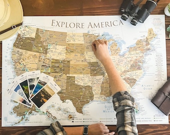
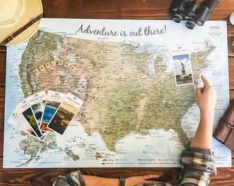
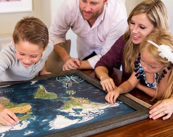
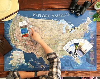
Our team created a companion game, Explorer Cards to accompany our series of world maps to inspire people to learn more about spectacular sites that provide a greater meaning about each destination. This research and production took over two years. We had backing for the production of the boxes on Kickstarter. No other map company has gone to this length to couple their products of maps - the content in the maps - to a geographical game. The goal of the game is to inspire people to explore deeper and learn about cultures and unique aspects of special sites around the world.
This year, we were contacted by the Director of Cartography and Maps at National Geographic's in recognition of this achievement. He also shared the undertaking of that project was something that they have been trying to achieve for several decades. It was also shared that they were incredibly impressed that the entire production of the Explorer Cards were 100% made in the U.S.A.
We truly appreciate your interest in our maps and recognizing our commitment to our maps and customers.
OUR EXPERTISE:
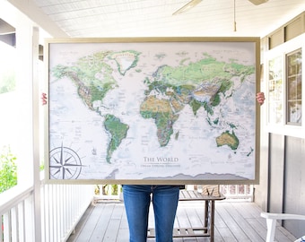
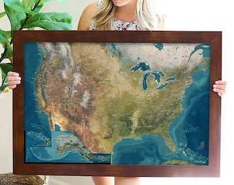
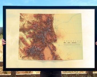
Our experience enables us to model the Earth using satellite data to reveal interesting patterns and landscapes in our world. Dedication to the science of geography and Earth's environment provides insights. We thrive on adding those insights as illustrations and information in our maps.
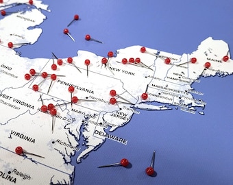
We also have the patience and practice to embed comprehensive information - designed to be discovered in the maps after careful study or years of use and exploration.
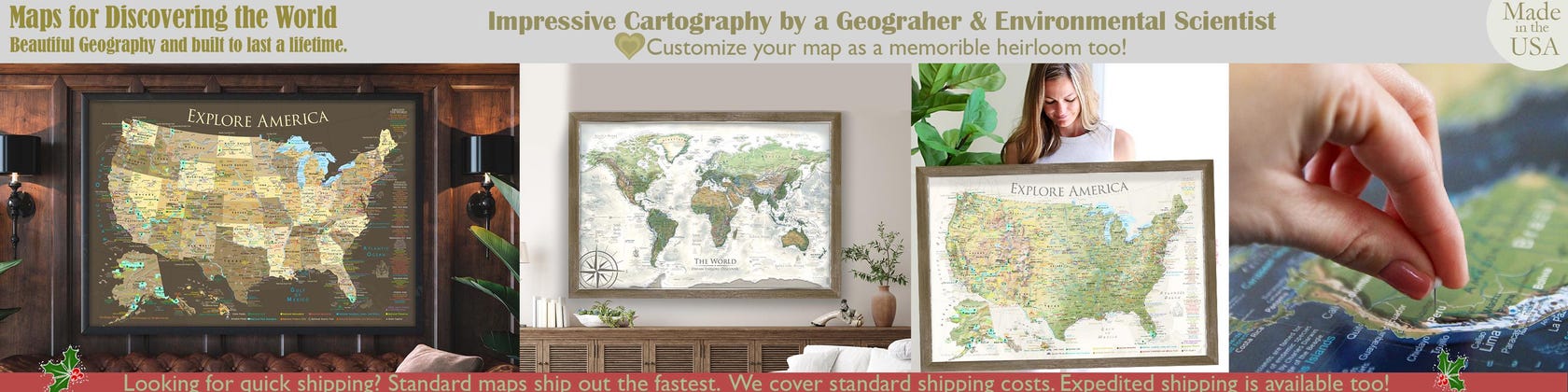
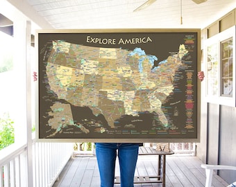
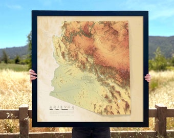
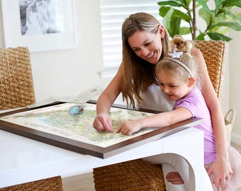
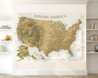
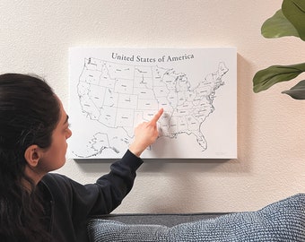
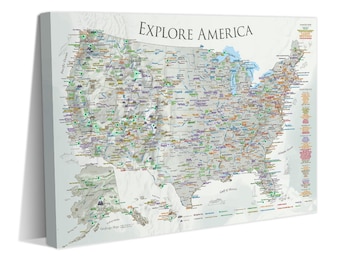
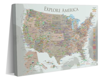
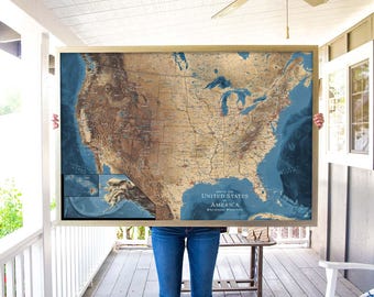
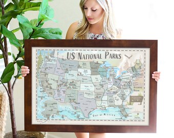
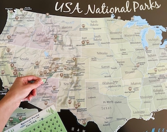
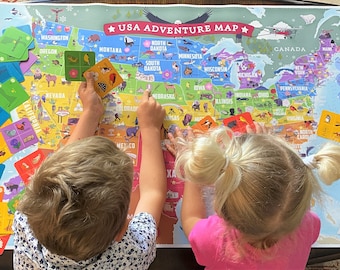
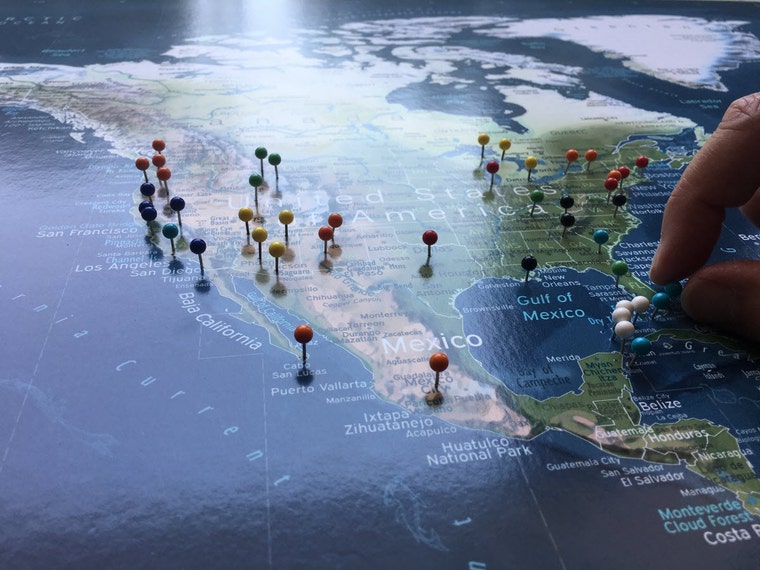
In our USA National Parks Maps, we added extra touches and referenced all of the National Parks plus 700+ National Park sites - these are the real gems of the nation. This includes the National Trails, NASA space centers, and historical sights such as Mackinac Island, Four Corners, Tombstone, and much more.
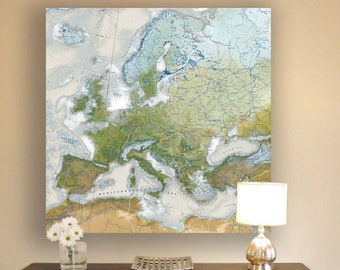
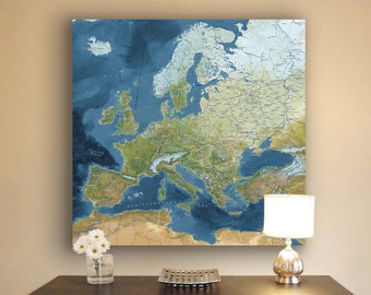
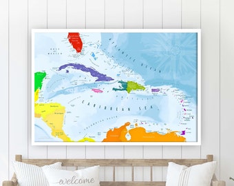
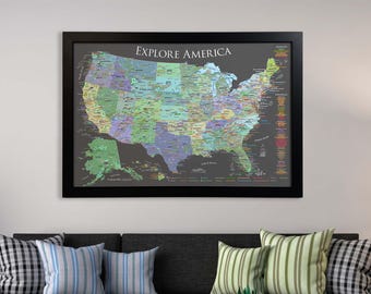
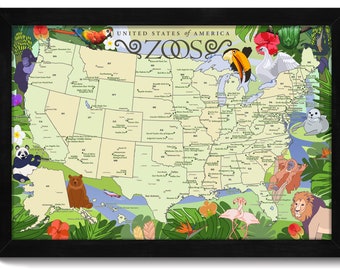
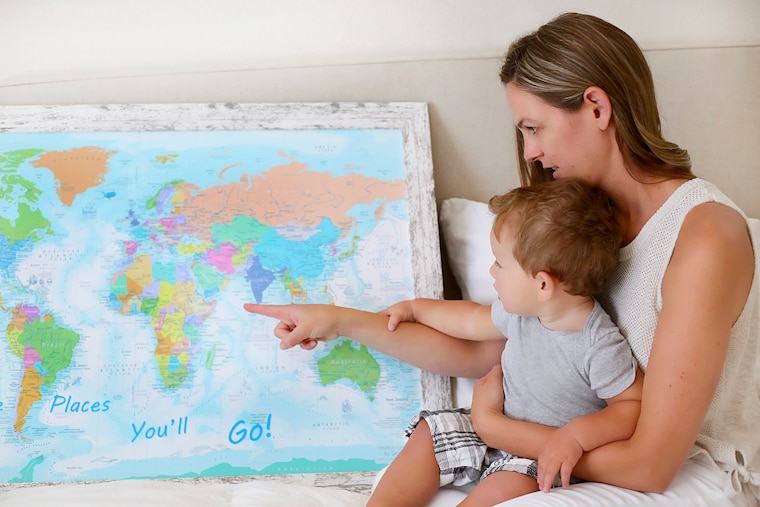
We hope you will have fun discovering the amazing places in our USA, Regional, and World Maps.
Our maps are worth it:
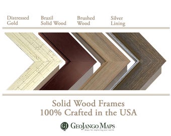
✔We invested in very high-end ($100k) wide format printers that use superior archival inks for rich and vivid coloring throughout our maps so you can explore the tiniest details.
✔The special inks are Fine Art quality and archival for 100 years.
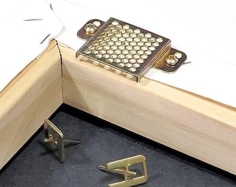
✔We use superior Gatorboard for durability (rather than flimsy foam core which will warp in a few months.) We use a huge rolling press to adhere the maps to the boards - this is an amazing process that requires big equipment!
✔All of the components to make our maps are Made in the USA!
✔We have a fantastic team of people who oversee every detail of the process. We're a small business doing great things!
❤ The result: IMPRESSIVE MAPS
Thank you for checking out my shop!
Debbie Dennison, MGIS, GISP
President, GeoJango Maps
Geographer, GIS & Environmental Scientist
📍 100% USA-Made Maps | Women-Owned Small Business
You map will be made by a Professional Geographer, GIS, and Cartographer:
✔Masters in GIS, Penn State University
✔Masters in Environmental Science, University of South Florida
✔Bachelors in Business Administration, University of South Florida
My passion for maps led me throughout my education and in my career as the lead GIS Scientist at Lawrence Livermore National Laboratory.
❤ I would love to share my passion geography, GIS, cartography, and learning about our beautiful world with you!