

Urban Design & Cartographic Exploration
After returning to school for my Masters of Urban Design I took my first class in Geographic Information Systems (GIS) and fell in love with what GIS was capable of. Since graduating I have constantly been looking for ways to fulfill my need to create and have used GIS and Cartography as one outlet.
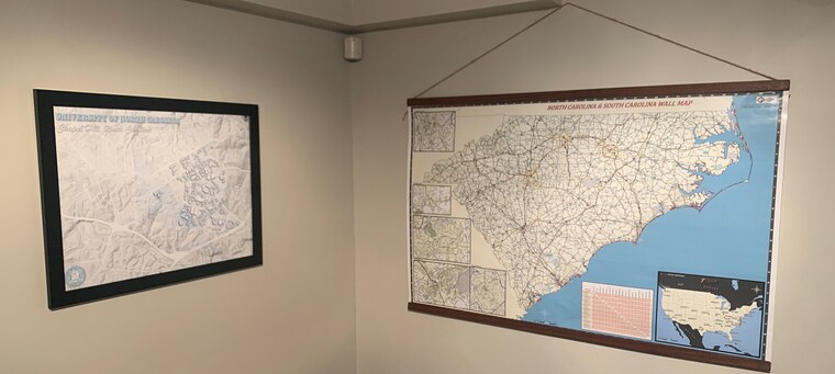
My first map following graduation was an extension of a research paper I had written during school on Charlotte's first Streetcar Suburbs of Dilworth & Myers Park. The resulting 1935 Official Streetcar Map was sold in Retail at The Map Shop in Charlotte NC. Now, after adding several more maps to my library I'd like to begin sharing my passion for creating compelling maps with others.
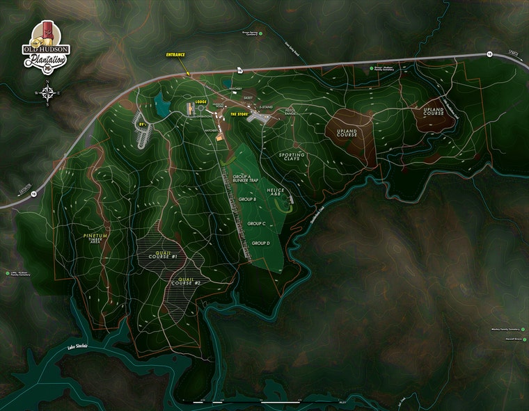
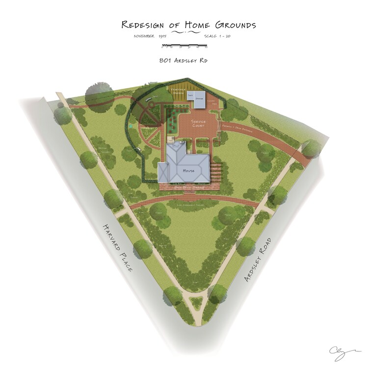
I hope you enjoy my work, and be sure to check back periodically for new map additions. I currently have about 15-20 different maps available, however I am printing them in batches, so each month I hope to add new options. Also coming soon, will be Custom Maps (with several styles to choose from) as well as Historic/Old Map Restorations. Send me a message if you have an old/historic map which you would like rejuvenated with new life!
Thanks for your support!
-Huck Broyles