


Borré las fronteras. Solo dejé los lugares que llamas hogar.
I erased the borders. I left only the places you call home.
¿Alguna vez has mirado un mapa estándar? Normalmente es solo una colección de líneas políticas y espacios vacíos. Pero eso no es lo que realmente es un país.
Un país es su gente. Son miles de pueblos pequeños, aldeas remotas y ciudades bulliciosas. Son lenguas locales, raíces profundas e historias compartidas.
Hola, soy el creador de Litera Maps, con sede en España. Mi formación es en programación, pero mi pasión es la identidad. Quería ver qué sucede si se elimina todo lo artificial de un mapa y solo queda la huella humana.
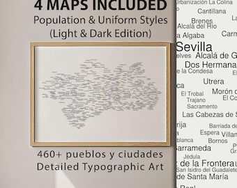
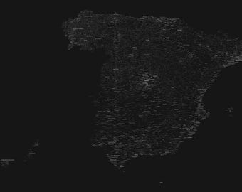
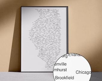
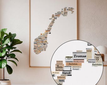
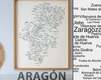
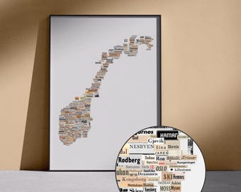
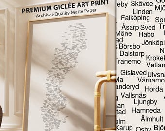
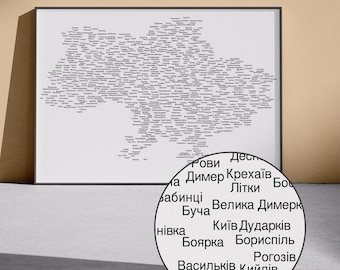
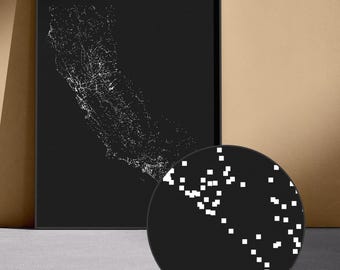
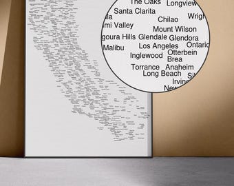
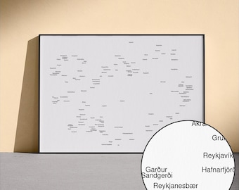
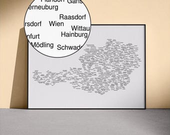
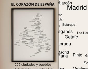
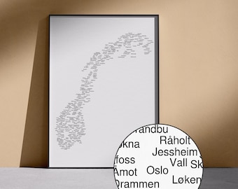
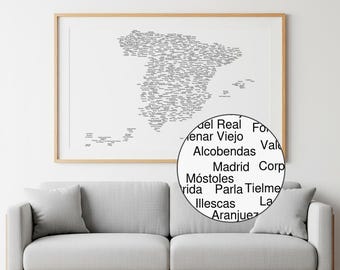
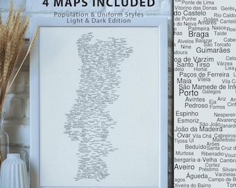
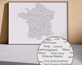
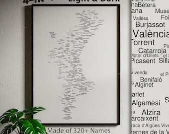
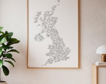
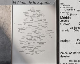
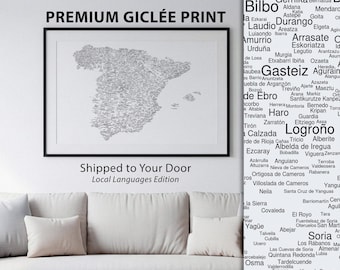
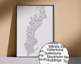
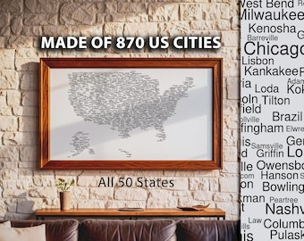
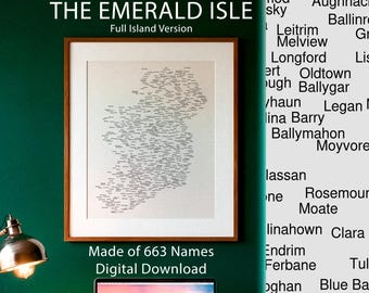
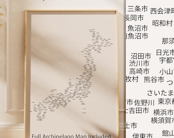
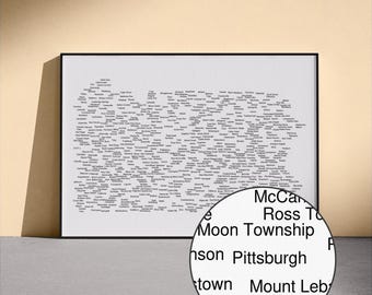
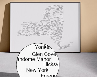
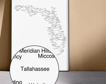
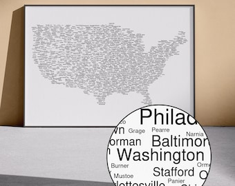
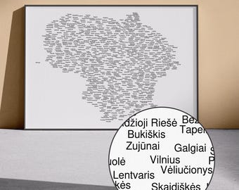
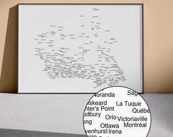
Así que escribí un código. Tomé enormes bases de datos de coordenadas geográficas y le indiqué al script que mostrara un solo nombre (o un punto de luz) exactamente donde vive la gente. El resultado me dejó completamente asombrado.
Sin trazar una sola frontera, emergió la forma exacta del país. Pero ya no era solo una forma: parecía una red neuronal. Como un cielo nocturno. Como el verdadero «tejido» de una nación.
Eso es el arte de datos. Consiste en tomar números fríos y brutos y convertirlos en algo profundamente emotivo.
Un nombre en un mapa es más que un simple texto: es el hogar de alguien, es tu identidad.
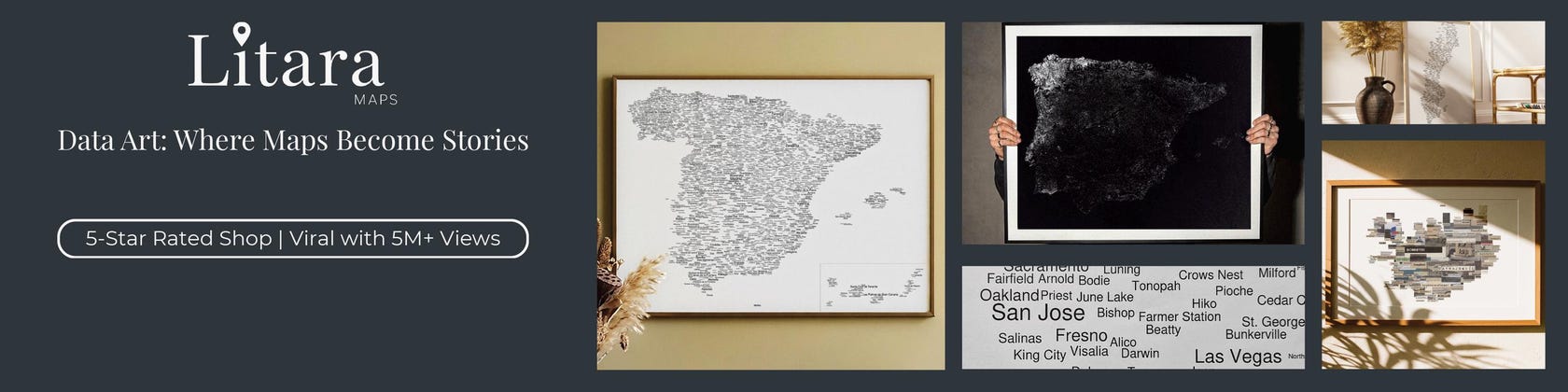
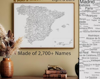
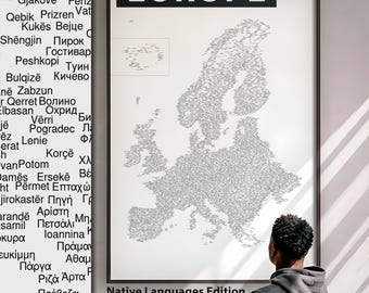
Estos mapas se hicieron virales en Reddit, Instagram y TikTok porque, creo, todos queremos ver dónde encajamos en el panorama general. Los creo para que puedas capturar esa sensación, enmarcarla y colgarla en tu pared.
Gracias por estar aquí, y espero que encuentres un pedacito de tu propia historia en mi tienda <3
Have you ever looked at a standard map? It’s usually just a collection of political lines and empty spaces. But that’s not what a country actually is.
A country is people. It’s thousands of small towns, remote villages, and bustling cities. It’s local languages, deep roots, and shared histories.
Hi, I’m the solo creator behind Litara Maps, based in Spain. My background is in programming, but my passion is identity. I wanted to see what happens if you strip away everything artificial from a map and leave only the human footprint.
So, I wrote a code. I took massive databases of geographic coordinates and told the script to drop a single name (or a dot of light) exactly where people live. The result completely blew my mind.
Without drawing a single border, the exact shape of the country emerged. But it wasn't just a shape anymore - it looked like a neural network. Like a night sky. Like the actual "fabric" of a nation.
That’s what Data Art is. It’s taking cold, raw numbers and turning them into something deeply emotional.
A name on a map is more than just a text - it's someone's home, it's your identity.
These maps went viral in Reddit, Instagram and Tiktok because, I think, we all want to see where we belong in the bigger picture. I make these so you can take that feeling, frame it, and hang it on your wall.
Thanks for being here, and I hope you find a piece of your own story in my shop <3