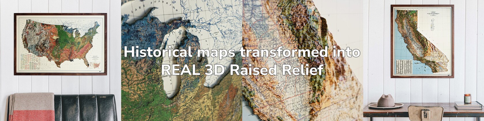
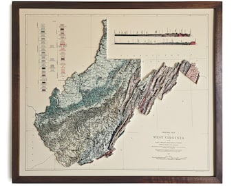
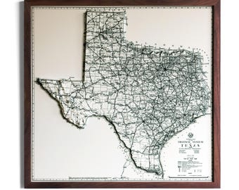
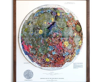
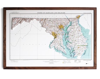
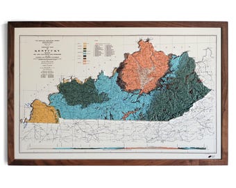
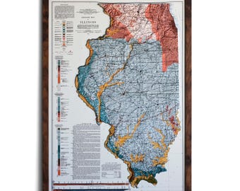
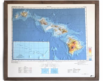
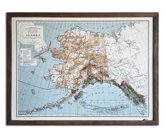
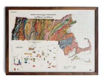
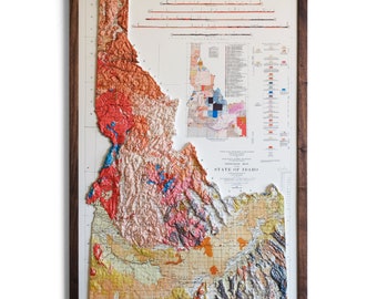
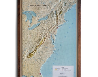
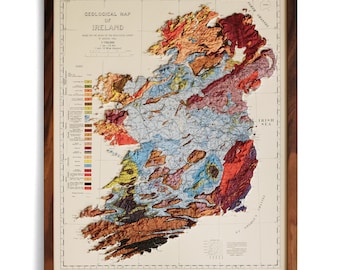
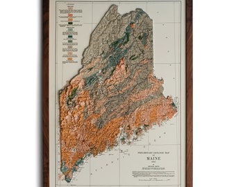
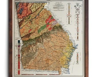
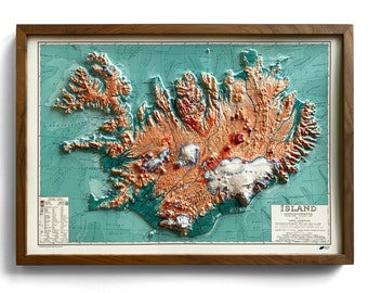
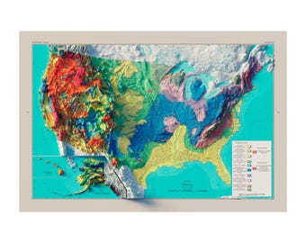
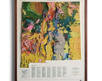
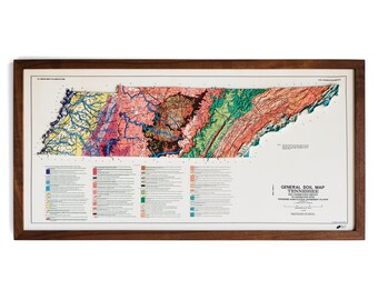
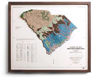
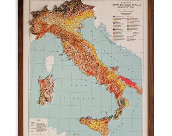
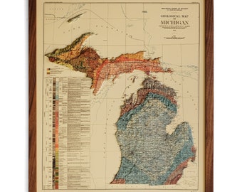
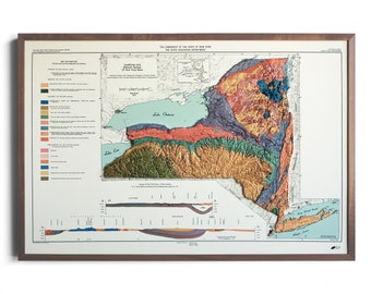
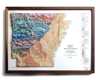
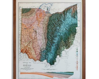
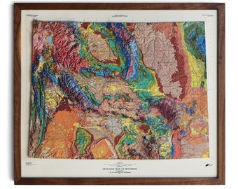
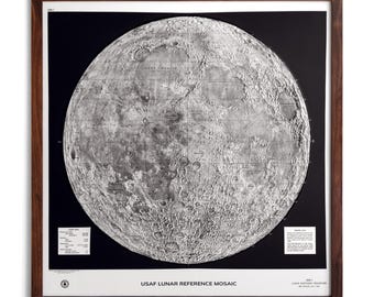

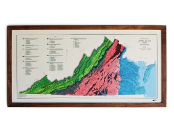
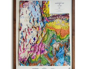
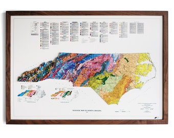


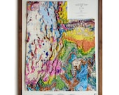



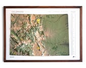
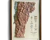


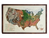

We transform historical maps into REAL 3D Raised Relief Maps.
I've spent my life exploring the outdoors and our country's National Park system. I've always been excited to open the map I'd get at the entrance of a new national park I didn't know so well. Those maps were more than just directions around the national park; they'd help awaken me to the beauty and adventure that was about to come. Like so many, I saved those national park maps as mementos of my trips. Unfortunately, they'd usually end up in a box or somewhere else where I'd forget about them. Finally, after a trip to Yosemite National Park, I decided to design a map that wouldn't get lost. Using colorful and clean designs, I created versions of National Park maps meant for walls, not just as art but as reminders of the places we love most. Since opening Muir Way in 2013 we have added hundreds of new map designs of National Parks, mountain ranges, hydrology, historic maps, and more.
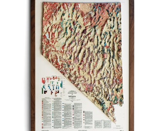
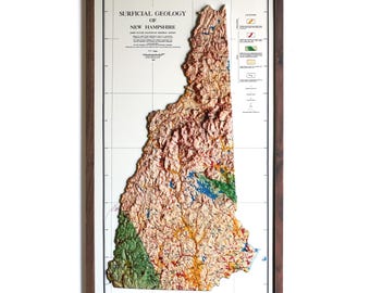
Recently, I took on the challenge of creating 3D raised relief maps. I bought some maps from other manufacturers but was unimpressed with their quality. I knew we could make them more beautiful with a higher level of detailed relief and printing quality. It took a year and a half of trial and error before we perfected the process we now use. We individually make each map in our San Diego shop and ship them carefully to you.
Thank you,
Jared, Founder of Muir Way