




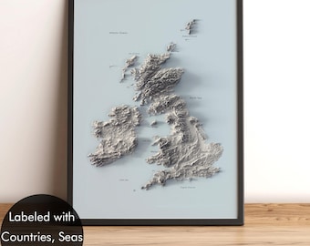
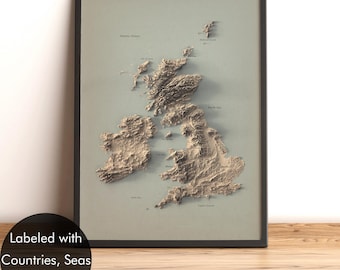
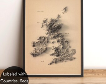


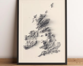


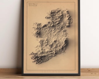
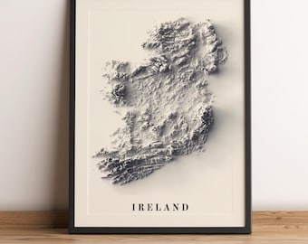
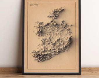
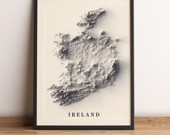
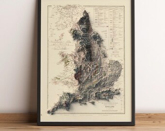
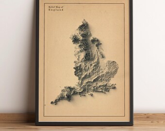
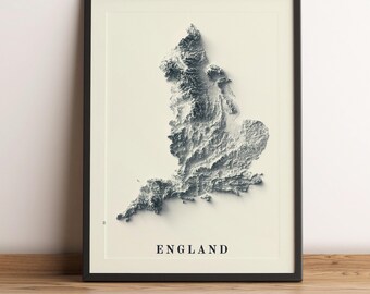
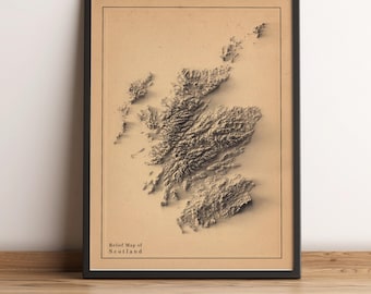
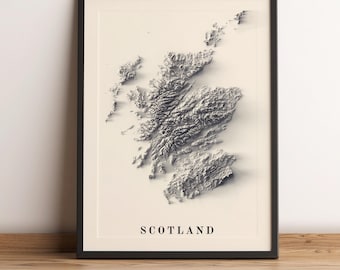
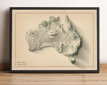
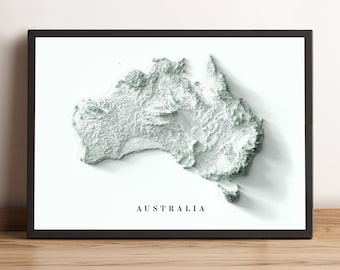

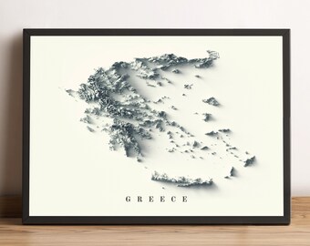
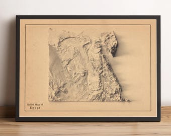
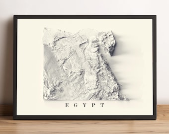
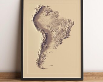


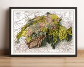
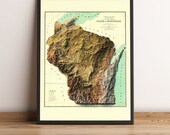

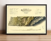
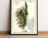


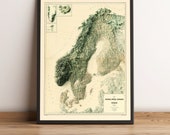

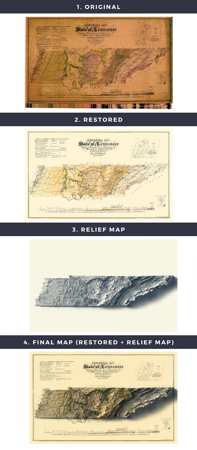
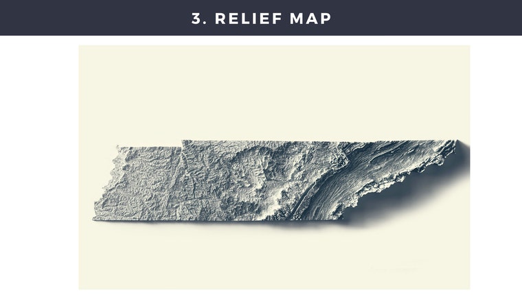
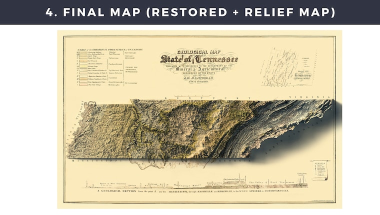
Hoe deze kaarten in vier stappen worden gemaakt
How These Maps Are Created in Four Steps
Hallo! We zijn blij dat u geïnteresseerd bent in onze kaarten! Onze passie voor geografie en kunst drijft ons om deze unieke stukken te creëren. Dit zijn gerestaureerde vintage kaarten gecombineerd met moderne reliëfkaarten die zijn gemaakt met behulp van satelliethoogtegegevens. Hoewel de kaarten in 2D zijn afgedrukt en plat aanvoelen, tonen ze het terrein visueel op een manier die vintage esthetiek combineert met hedendaagse technieken, wat een fris perspectief biedt.
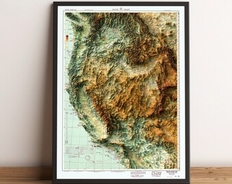
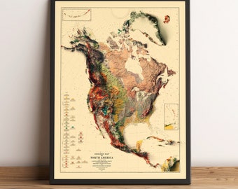
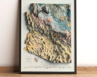
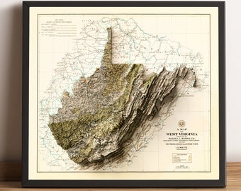
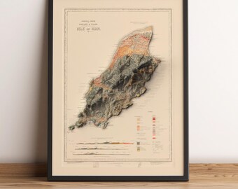
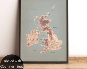
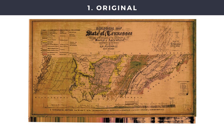
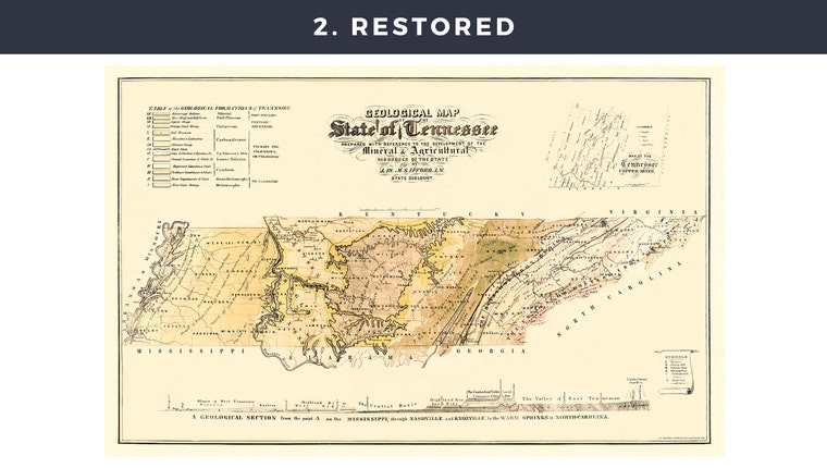
De hoogtegegevens komen van de Shuttle Radar Topography Mission (SRTM) en we gebruiken gespecialiseerde software en technieken om de kaarten een levensecht reliëf te geven. Sommige kaarten zijn puur gestileerd om er antiek of modern uit te zien, terwijl andere, zoals die van de maan, planeten en wereldkaarten, hetzelfde creatieve proces volgen. De rest is gebaseerd op authentieke vintage kaarten. Het maken van deze kaarten is een nauwgezet proces. Om u een idee te geven, worden de stappen geïllustreerd in de afbeeldingen hierboven:
Hello! We’re thrilled to see your interest in our maps! Our passion for geography and art drives us to create these unique pieces. These are restored vintage maps combined with modern relief maps created using satellite elevation data. While the maps are printed in 2D and flat to the touch, they visually showcase the terrain in a way that blends vintage aesthetics with contemporary techniques, offering a fresh perspective.
The elevation data comes from the Shuttle Radar Topography Mission (SRTM), and we use specialized software and techniques to give the maps a lifelike relief appearance. Some maps are purely stylized to look antique or modern, while others, such as those of the moon, planets, and world maps, follow the same creative process. The rest are based on authentic vintage maps. Creating these maps is a meticulous process. To give you an idea, the steps are illustrated in the images above:
