


Low in stock, only 1 left
Price: £17.00+
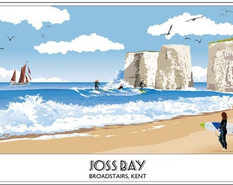
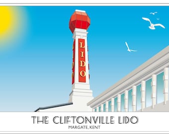
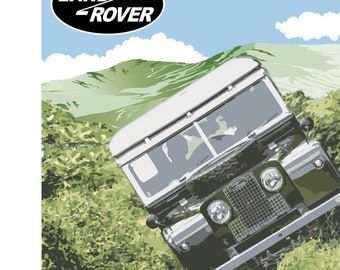
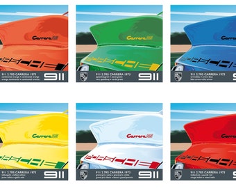
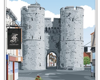
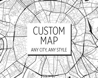
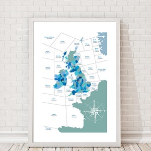
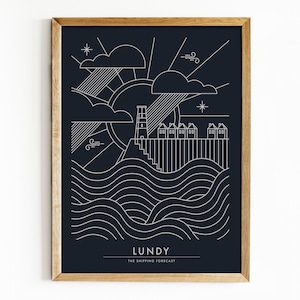
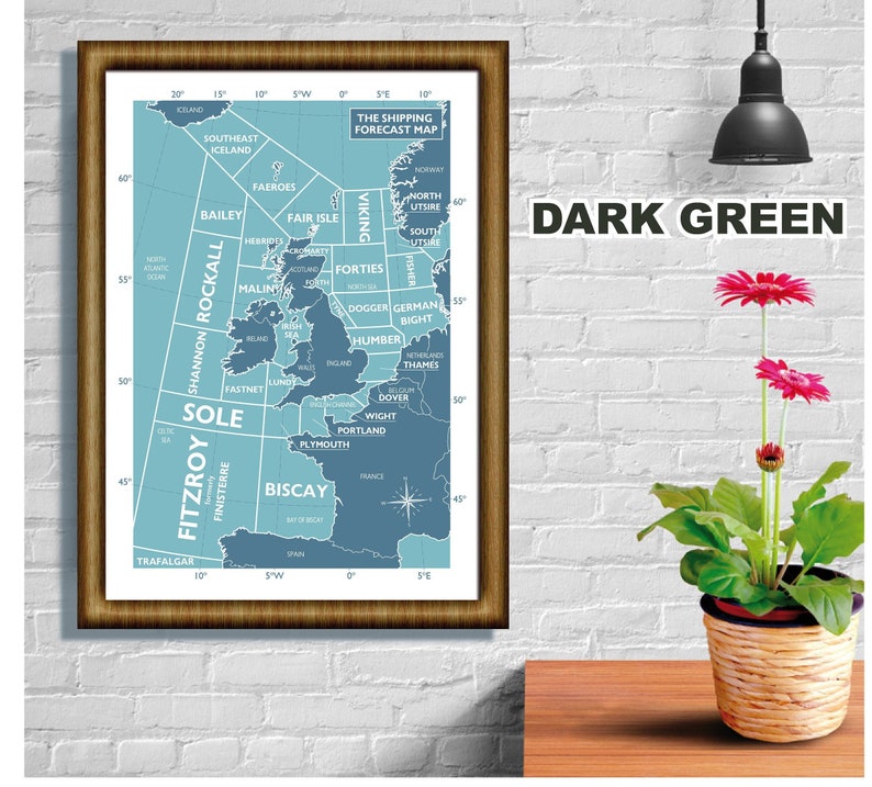
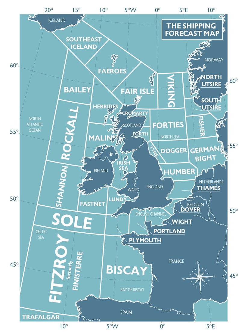
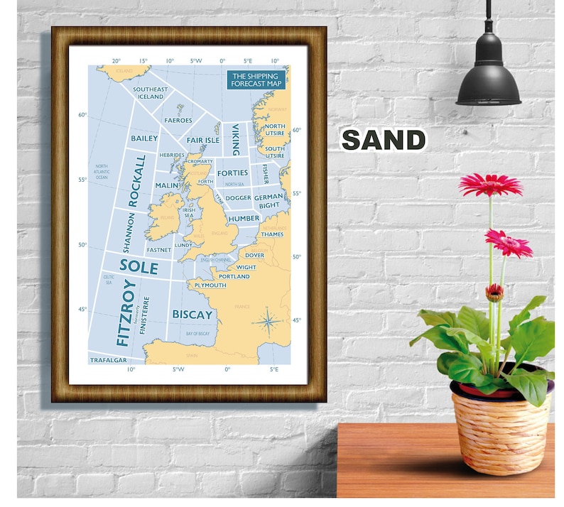
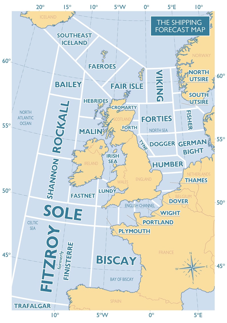
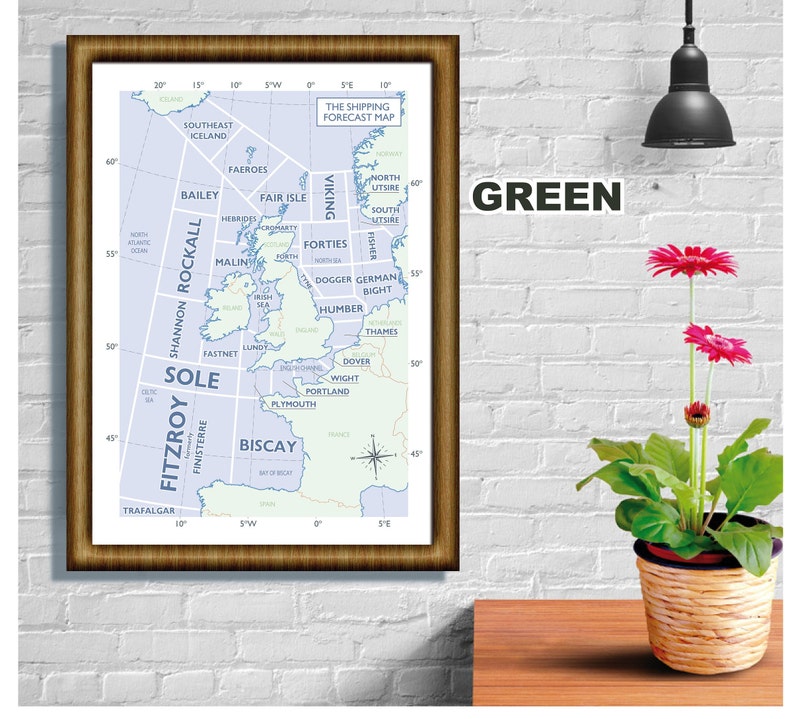
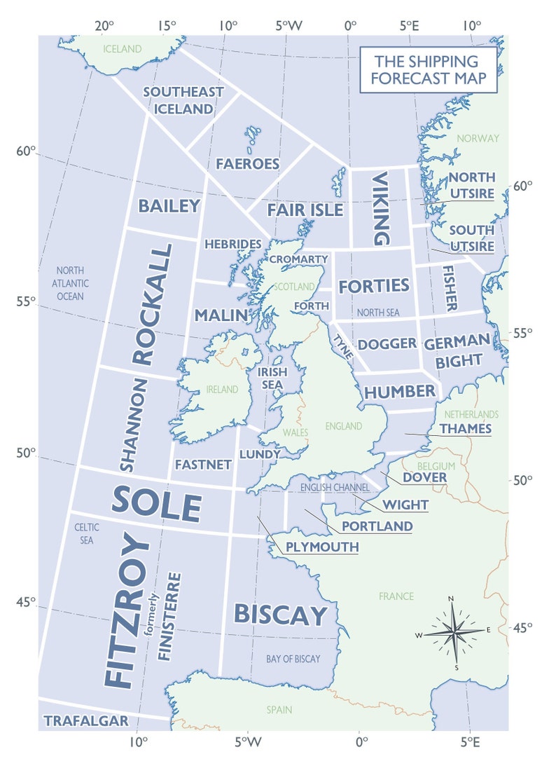
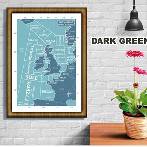
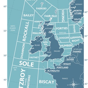
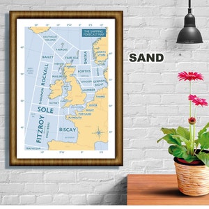
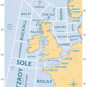
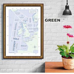
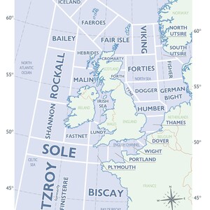
Shipping Forecast Regions, Map, Print, Souvenir, Gift, Poster, Choice of colours, A4, A3, A2 sizes
Star Seller
Star Sellers have an outstanding track record for providing a great customer experience - they consistently earned 5-star reviews, dispatched orders on time, and replied quickly to any messages they received.
Your order should arrive by this date if you buy today. To calculate an estimated delivery date you can count on, we look at things like the carrier's latest transit times, the seller's processing time and dispatch history, and where the order is dispatched from and delivered to.
You can only make an offer when buying a single item.
Star Seller. This seller consistently earned 5-star reviews, dispatched on time, and replied quickly to any messages they received.
-
Order today to get by 16-22 May
Your order should arrive by this date if you buy today. To calculate an estimated delivery date you can count on, we look at things like the carrier's latest transit times, the seller's processing time and dispatch history, and where the order is dispatched from and delivered to.
-
Delivery cost: £9.50
There was a problem calculating your postage. Please try again.
Etsy Purchase Protection
Shop confidently on Etsy knowing if something goes wrong with an order, we'll make it right for all eligible purchases —
see programme terms

37 reviews
5 out of 5 starsVery pleased with graphic. Well packaged and promptly shipped to Australia. Great service. Thoroughly recommend seller.
Ian Bishop 05 Apr, 2024
More from this shop