


7 views in the last 24 hours
Price: CA$35.51
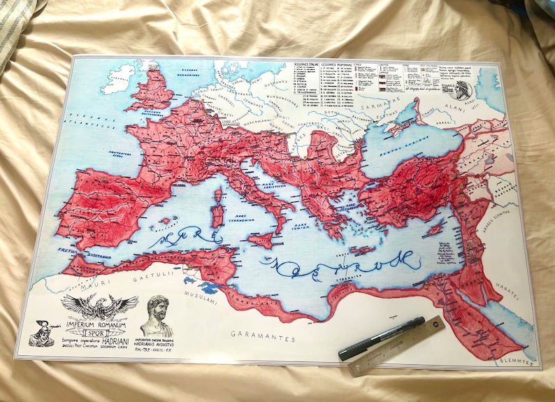
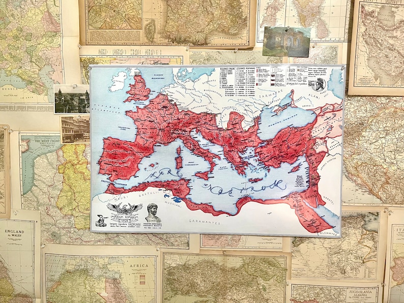
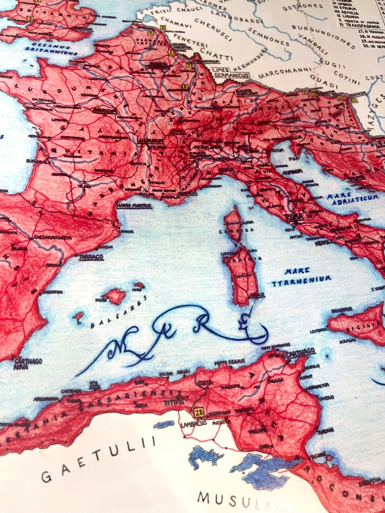
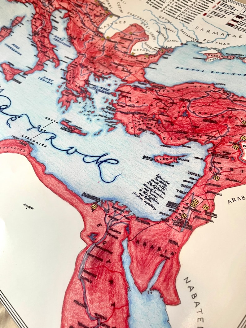
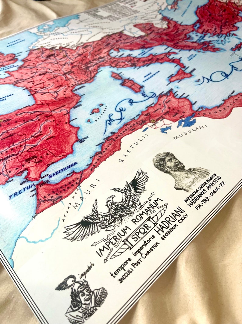
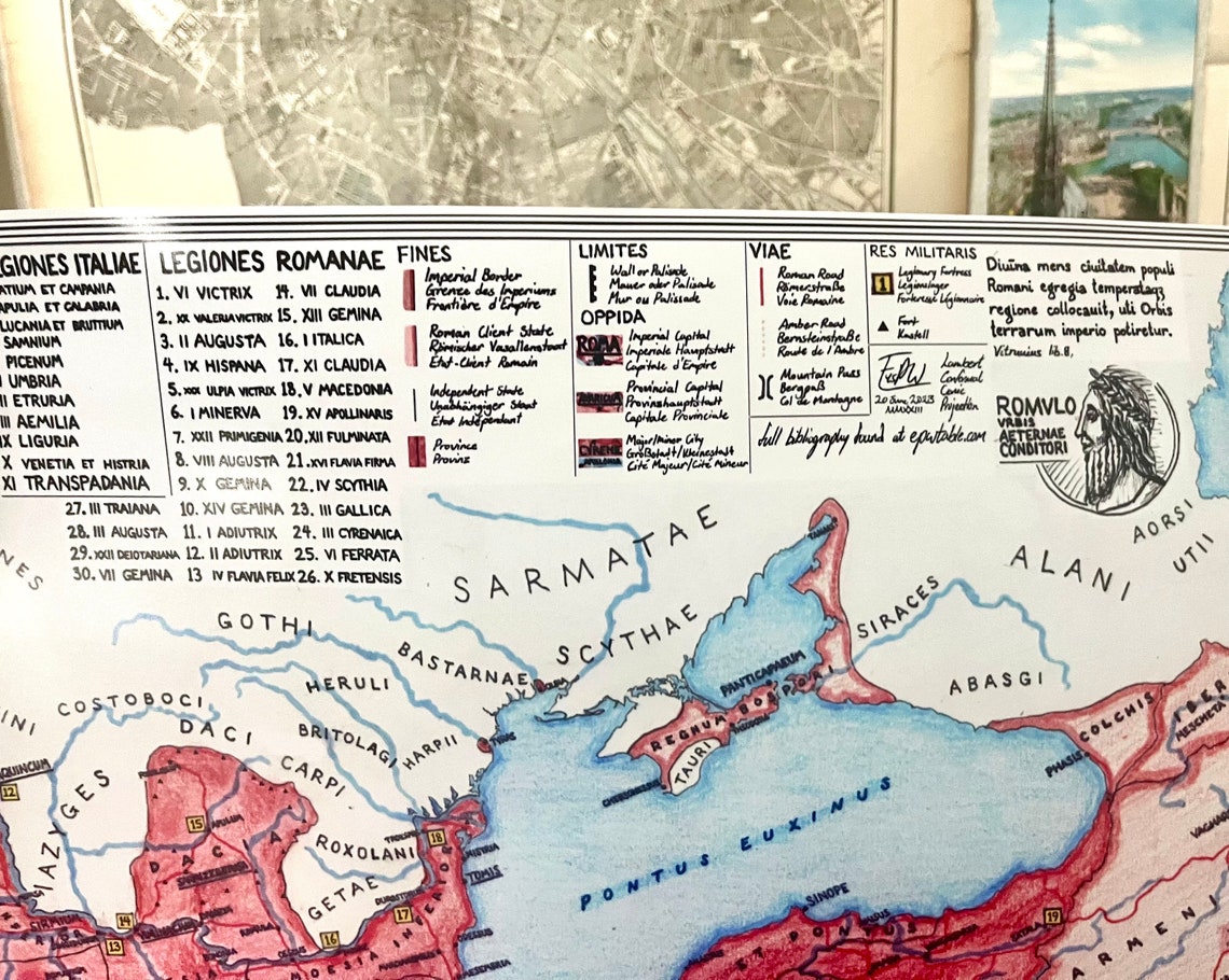
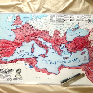
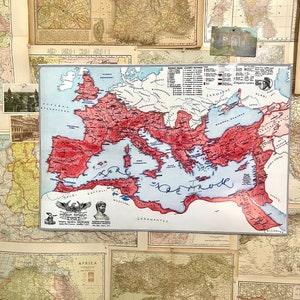
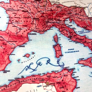
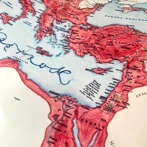
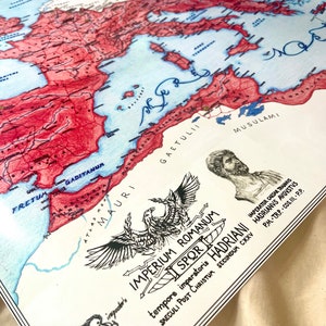
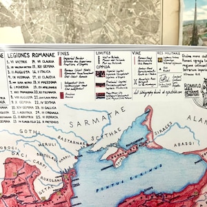
Roman Empire 125 AD Hand-Drawn Map Matte Poster
Returns & exchanges accepted
You can only make an offer when buying a single item.
-
Order today to get by 06-15 May
Your order should arrive by this date if you buy today. To calculate an estimated delivery date you can count on, we look at things like the carrier's latest transit times, the seller's processing time and dispatch history, and where the order is dispatched from and delivered to.
-
Returns & exchanges accepted within 30 days
Buyers are responsible for return postage costs. If the item is not returned in its original condition, the buyer is responsible for any loss in value.
-
Delivery cost: CA$9.40
There was a problem calculating your postage. Please try again.
Etsy Purchase Protection: Shop confidently on Etsy knowing if something goes wrong with an order, we've got your back for all eligible purchases — see programme terms
21 reviews
5 out of 5 starsAbsolutely beautifully drawn map. Unc really out did himself here.
Purchased item:
Roman Empire 125 AD Hand-Drawn Map Matte PosterCooper 17 Apr, 2024
Looks good, nice work brother
Purchased item:
Roman Empire 125 AD Hand-Drawn Map Matte PosterWill Abarca 02 Apr, 2024
Outstanding map! I am impressed by the quality of the map. My expectations has met. Fast shipping. 10/10.
Purchased item:
Roman Empire 125 AD Hand-Drawn Map Matte PosterRicalMonte 30 Mar, 2024
Excellent quality looks really good on the wall
Purchased item:
Roman Empire 125 AD Hand-Drawn Map Matte Poster
Sean Moore 29 Mar, 2024
Photos from reviews