

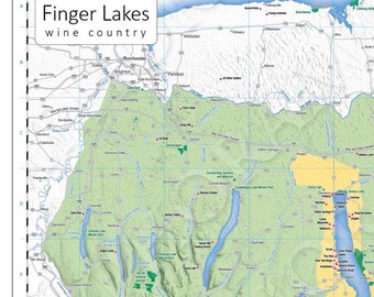
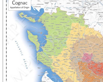
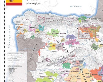
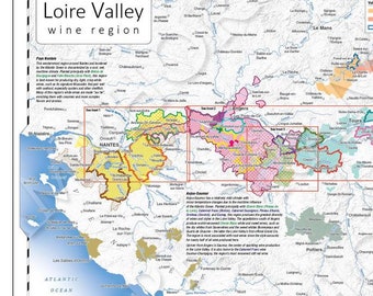




Our Story
The story of AmphoraMap starts with our founder and president. Tony’s passion for maps was ignited when he was still a young boy. Once as a teenager, his father wryly observed that unlike other boys his age, Tony’s bedroom walls were covered with maps!
Upon arrival at university Tony discovered he could leverage his love of maps into a profession as a geographer and cartographer – much to his parent’s dismay! Graduating with a degree in Geography and Cartography, his first job was with the university, designing and creating maps for professors to be included in their soon-to-be published books.
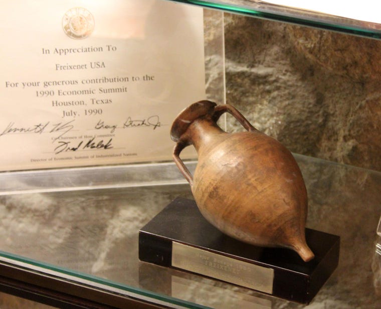
Tony has since gone on to a successful and varied now 35+ year career as a cartographer/geographer in reference publishing and media. His positions have included Director of Cartography and Editor-in-Chief at Hammond Map Co., and as a cartographer and information graphic journalist at the respective headquarters of The New York Times and The Associated Press in New York City.
Tony's wine journey began in late 2007 just south of Monterey, California. The wine was a Barolo from Italy's Piemonte region. What followed was the beginning of a wine obsession. Devouring as many books and wine magazines as he could find, he ultimately found his way to the more formal study of wine with the Wine & Spirit Education Trust (WSET). Based in London, UK, the WSET is the world leader in the development and delivery of courses in wines and spirits. The WSET offers four levels of wine qualification (Level 4 Diploma the highest). Since 2018, Tony has held a WSET Level 3 Advanced qualification in wine, with Merit, and is soon to embark on the Level 4 program.
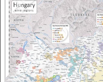
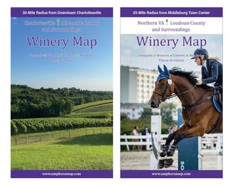
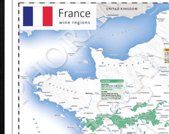
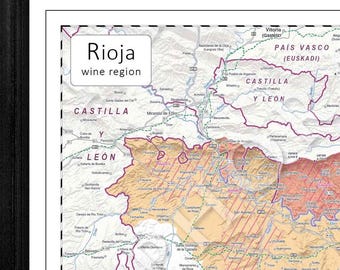
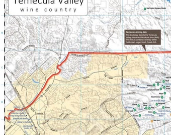
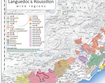
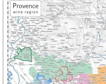
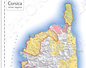
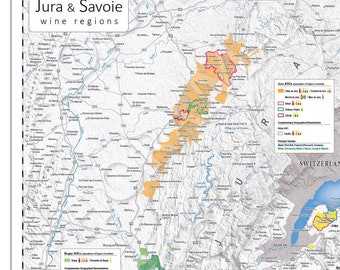
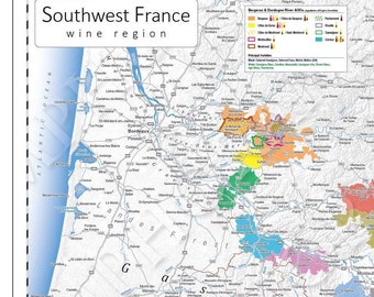
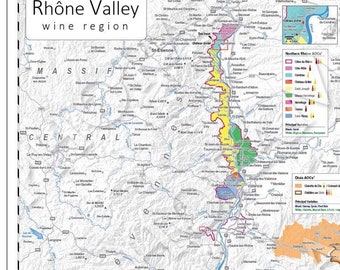
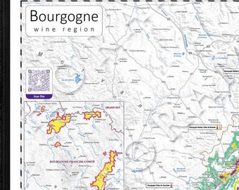
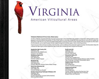
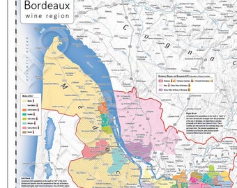
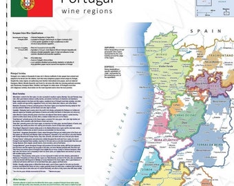
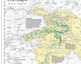
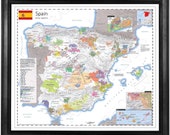
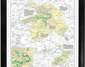
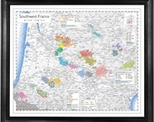
AmphoraMap is a small, veteran-owned business that specializes and takes pride in publishing high-quality wine maps and wine infographics for a wide variety of uses. Certifications and professional memberships:
* BA, Geography and Cartography, Rutgers University
* WSET Level 3 Advanced Certification in Wine, with Merit
* Member, International Map Industry Association (IMIA)
* Member, British Cartographic Society (BCS)
* Member, Cartography & Geographic Information Society (CaGIS)
* Member, North American Cartographic Information Society (NACIS)