


Mała dostępność! Pozostała 1 sztuka
Cena: 156,80 zł
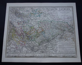
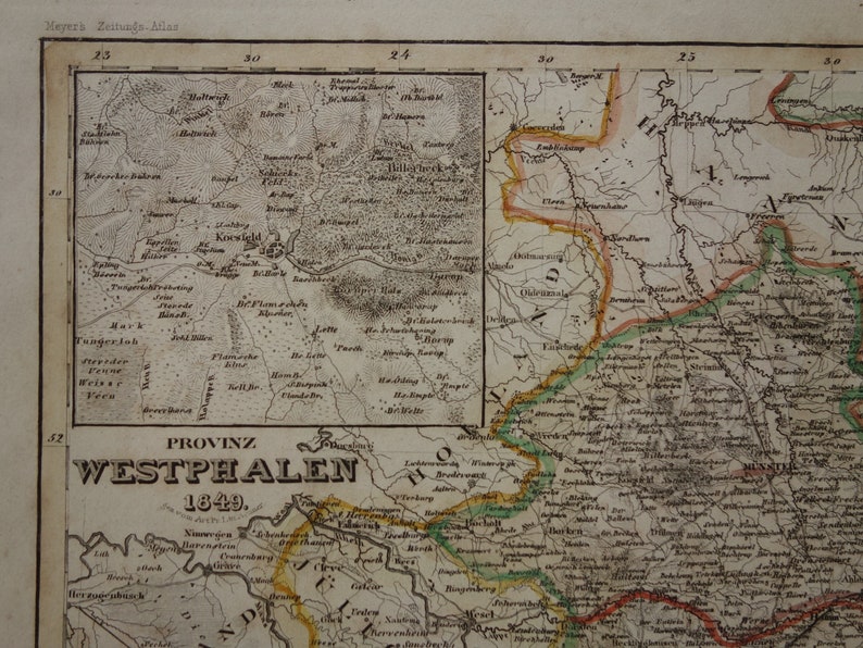
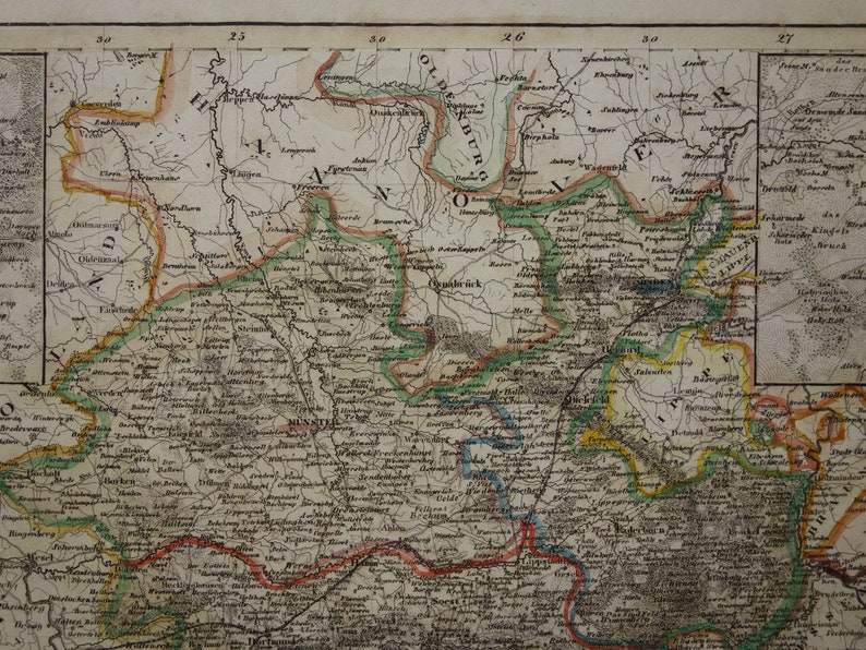
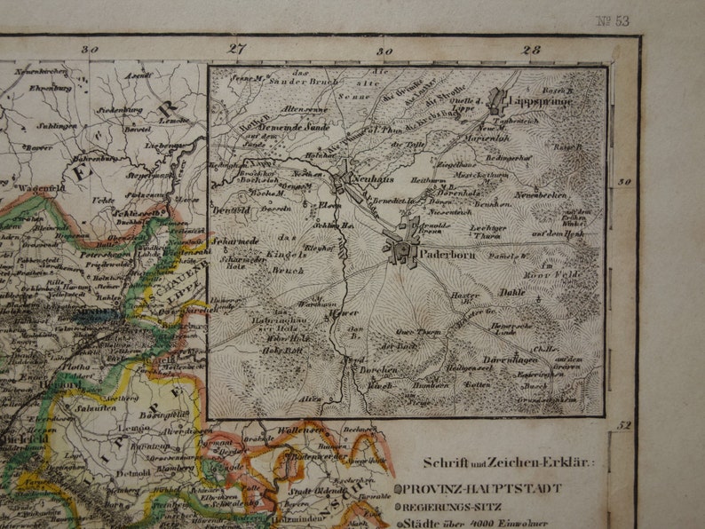
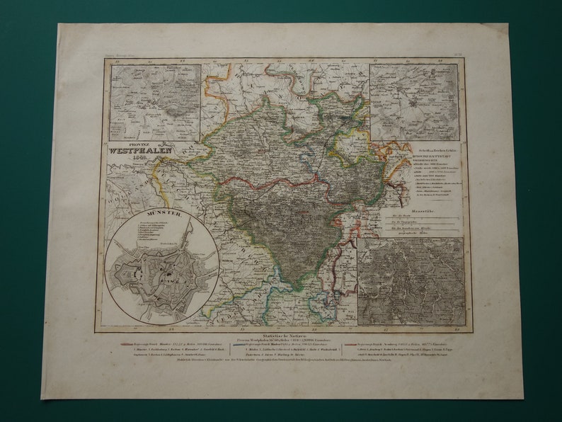
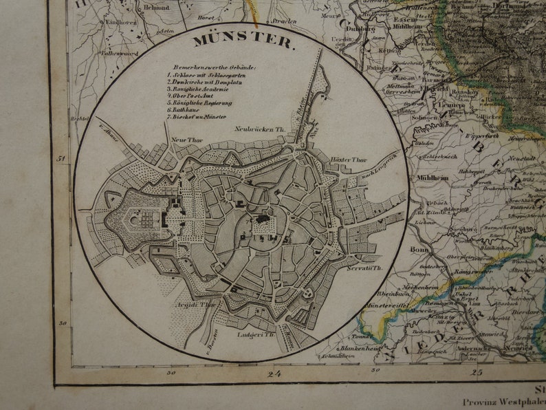
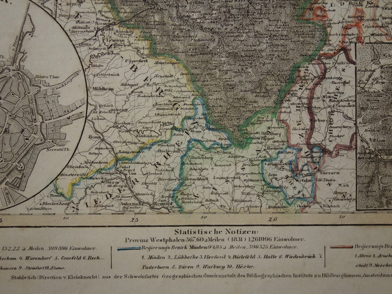
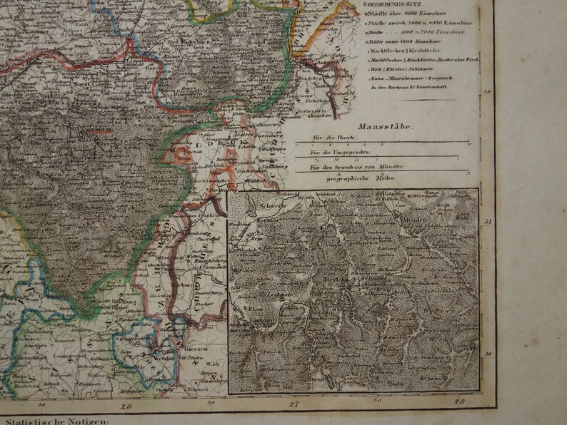
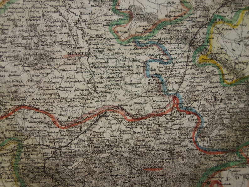
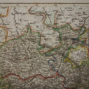
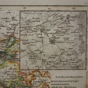
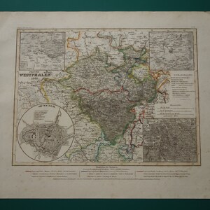
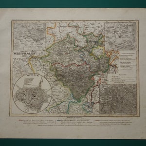
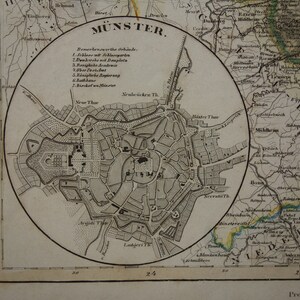
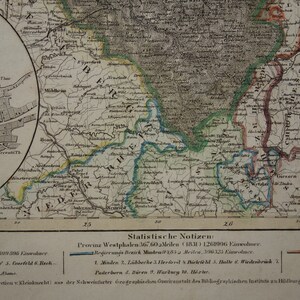
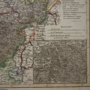
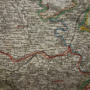
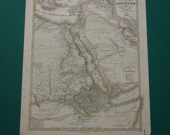
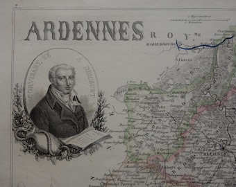
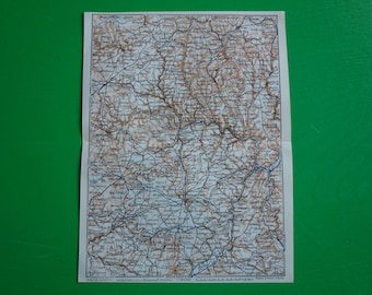
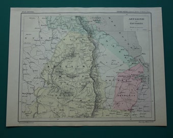
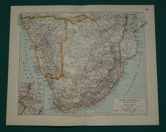
GERMANY old map 1849 hand colored old print poster of NRW vintage antique maps Münster Paderborn Provinz Westfalen alte karte von
Jeśli dokonasz zakupu dzisiaj, Twoje zamówienie powinno do Ciebie dotrzeć do tej daty. Aby móc obliczać szacowane terminy dostawy w sposób godny zaufania, bierzemy pod uwagę takie informacje, jak najaktualniejsze czasy transportu przewoźnika, czas przetwarzania ofert i historia wysyłki sprzedawcy oraz miejsce nadania i dostawy zamówienia.
Zwroty i wymiany są akceptowane
Zaoszczędź 25% przy zakupie 4 produktów z tego sklepu
Możesz złożyć propozycję ceny tylko przy zakupie pojedynczego produktu
-
Zamów dziś i otrzymaj do 15-22 maj
Jeśli dokonasz zakupu dzisiaj, Twoje zamówienie powinno do Ciebie dotrzeć do tej daty. Aby móc obliczać szacowane terminy dostawy w sposób godny zaufania, bierzemy pod uwagę takie informacje, jak najaktualniejsze czasy transportu przewoźnika, czas przetwarzania ofert i historia wysyłki sprzedawcy oraz miejsce nadania i dostawy zamówienia.
-
Zwroty i wymiany są akceptowane w ciągu 14 dni
Kupujący ponoszą koszty odesłania produktu. Jeśli produkt nie zostanie zwrócony w pierwotnym stanie, kupujący będzie odpowiedzialny za ewentualną utratę wartości.
-
Koszt wysyłki: 13,23 zł
-
Miejsce nadania: Holandia
Wystąpił problem podczas obliczania kosztów wysyłki. Spróbuj ponownie.
Ochrona procesu zakupu na Etsy
Kupuj na Etsy bez obaw – jeśli coś pójdzie nie tak z zamówieniem, możesz na nas liczyć w przypadku wszystkich kwalifikujących się zakupów –
zobacz warunki programu

900 opinii w sklepie
5 na 5 gwiazdekGreat seller - map fantastic
L Lock 2 maj 2024

Excellent service and seller. Unique items.
F Brusi 14 kwi 2024
The map was very securely packaged, and Victor was also very responsive when I needed to change the postal address at the last minute! High quality item and will be a great gift for a friend. Thank you Victor!
Stefanie 13 kwi 2024
Zdjęcia z opinii
Więcej produktów z tego sklepu
Przeglądaj według działu