


Only 8 left and in 1 cart
Price: $35.00+
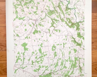
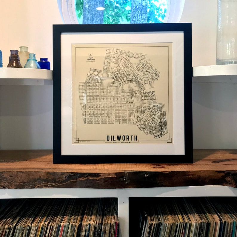
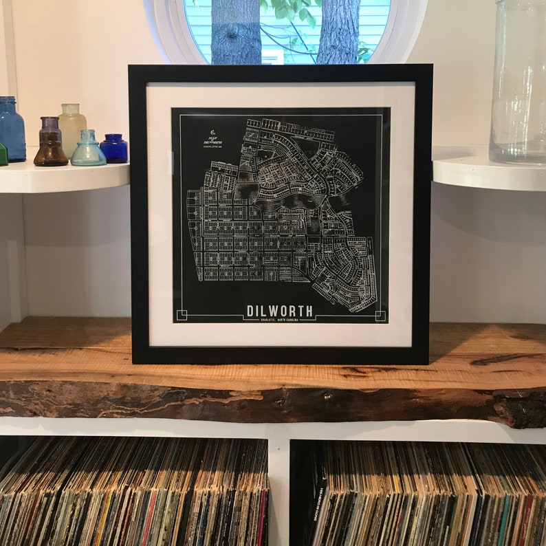
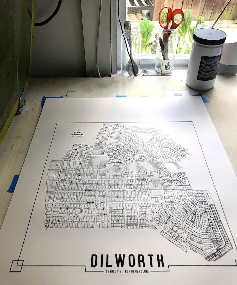
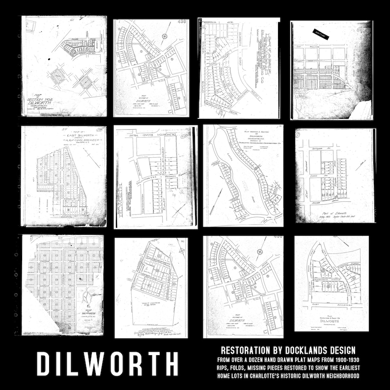
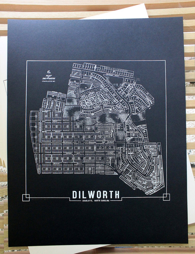
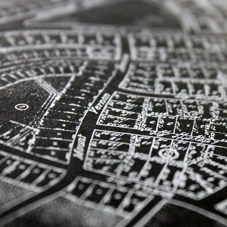
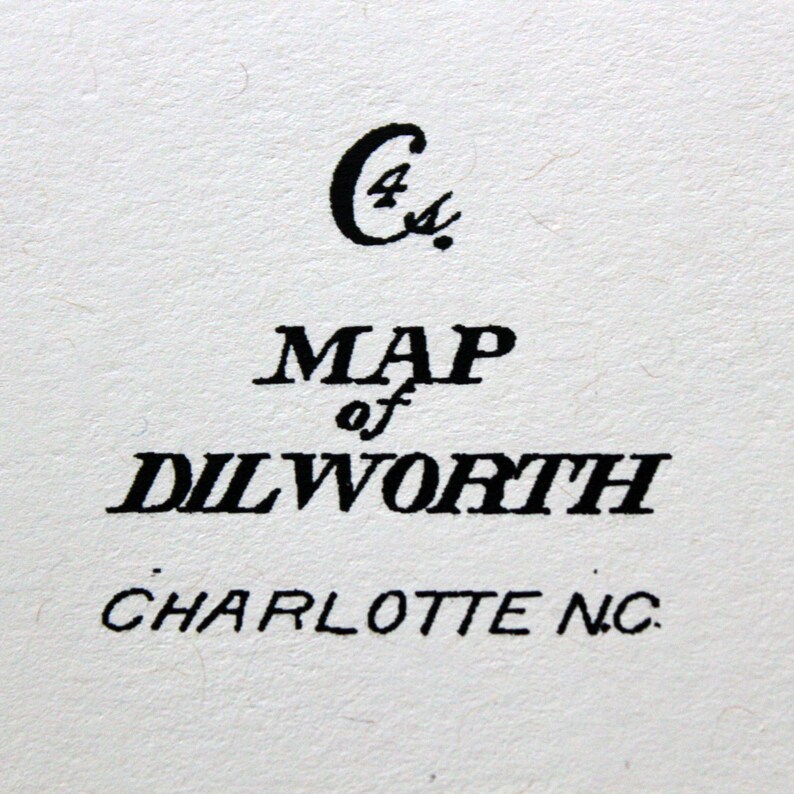
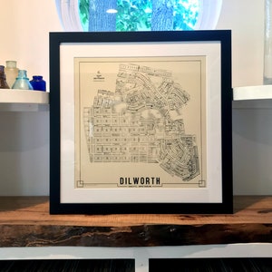
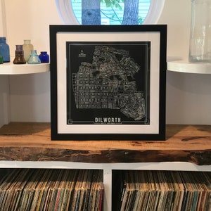
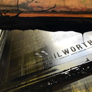
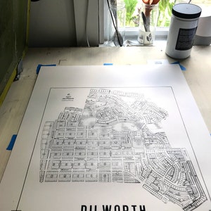
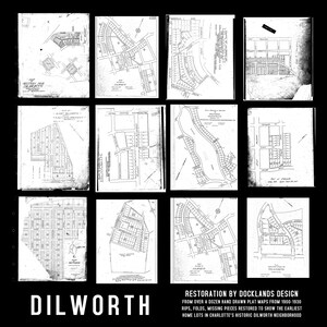
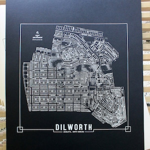
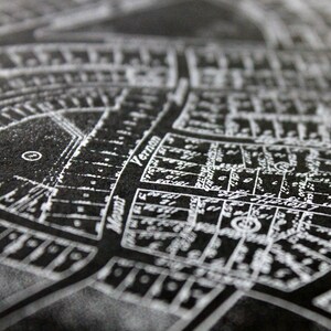
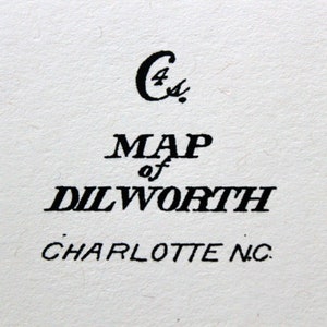
DILWORTH (Charlotte) Hand drawn Plat Map, Historic 1900-1930s Composite Restoration
Your order should arrive by this date if you buy today. To calculate an estimated delivery date you can count on, we look at things like the carrier's latest transit times, the seller's processing time and shipping history, and where the order is shipping to and from.
You can only make an offer when buying a single item
-
Order today to get by May 10-16
Your order should arrive by this date if you buy today. To calculate an estimated delivery date you can count on, we look at things like the carrier's latest transit times, the seller's processing time and shipping history, and where the order is shipping to and from.
-
Free shipping
There was a problem calculating your shipping. Please try again.
Etsy Purchase Protection
Shop confidently on Etsy knowing if something goes wrong with an order, you'll get a full refund for all eligible purchases —
see program terms

Other reviews from this shop
|
(353)
Great item, exceeded my expectations.

gfloydt Aug 1, 2023
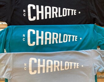
Love it, nice lighter weight shirt for spring in the Carolinas. Great service, love this shop. Thanks!
Purchased item:
Charlotte Gothic T-ShirtTracy Greene Apr 12, 2024
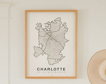
This item is amazingly made. I have one and ordered this one for my niece. The owner reached out to see if I wanted a special edition because he had another one left. It was so nice of him and love the special edition!
Purchased item:
Charlotte, North Carolina Neighborhoods Screen PrintJulie Enderle Mar 24, 2024
Absolutely stunning! The quality and value are exceptional.
Purchased item:
Eastland Mall Charlotte ShirtMisty Bost Mar 18, 2024
Photos from reviews