


Rare find
Price: $41.25
Original Price: $55.00
Sale ends on May 14
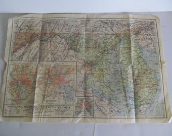
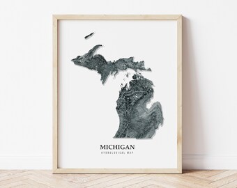
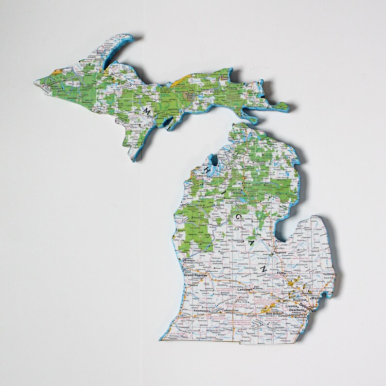
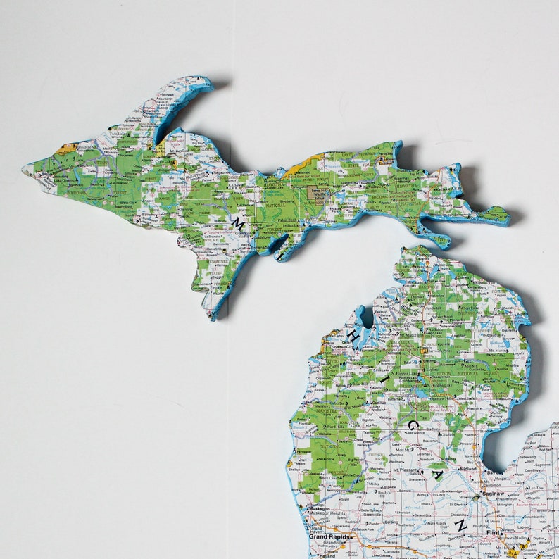
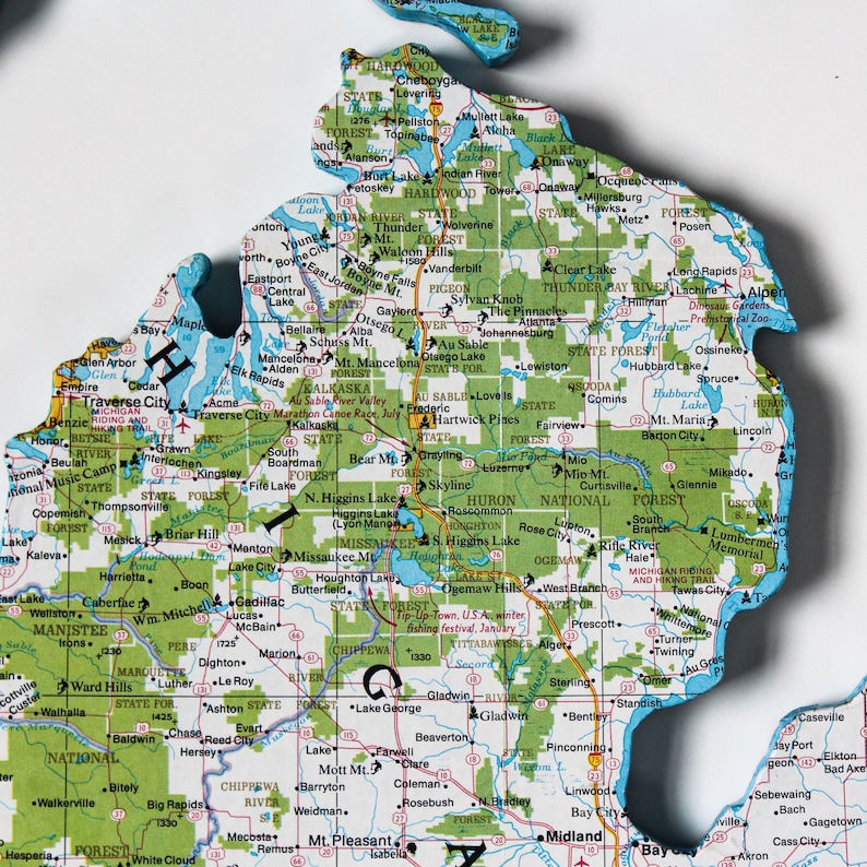
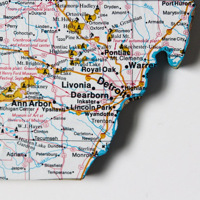
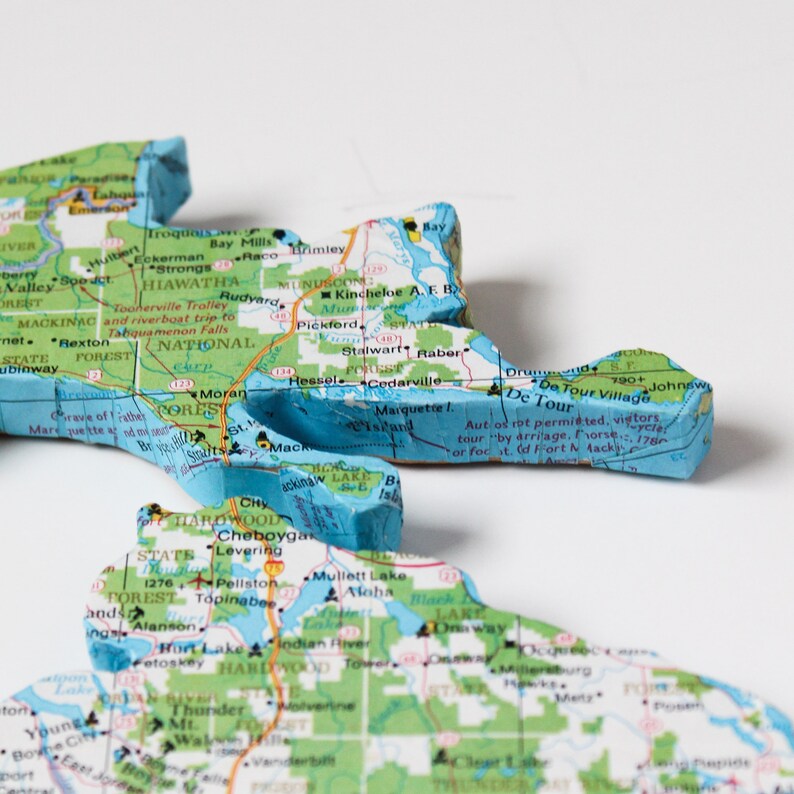
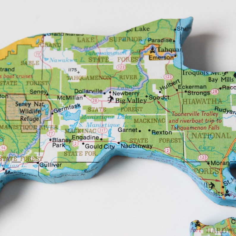
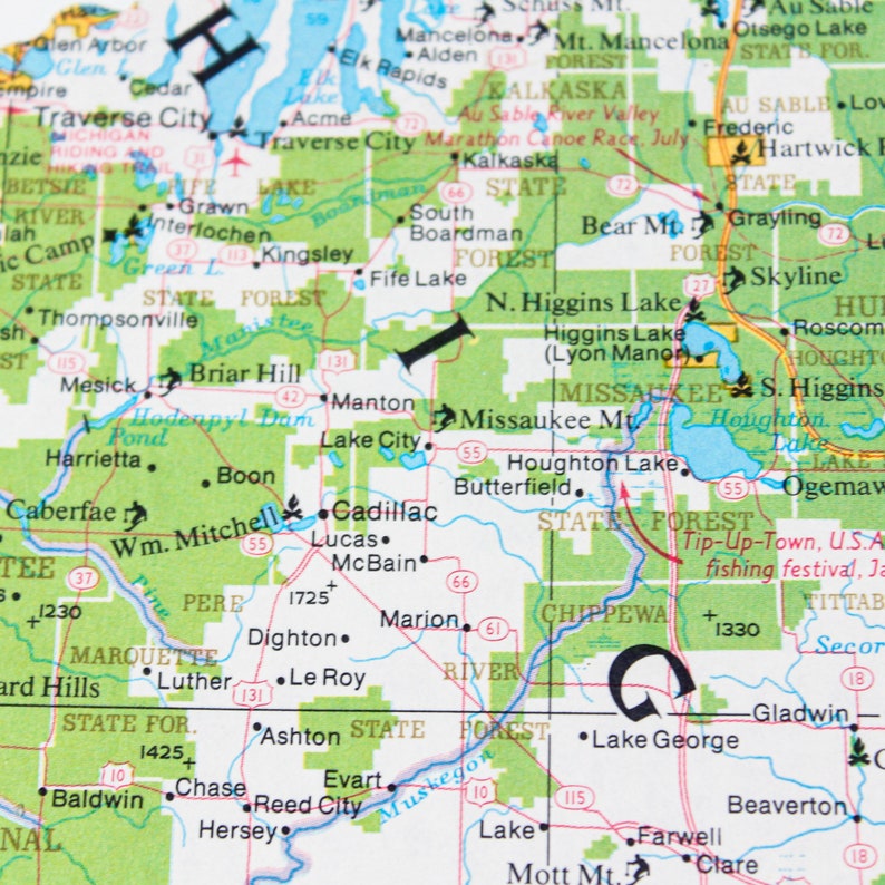
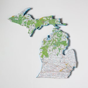
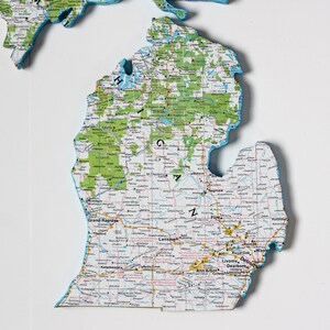
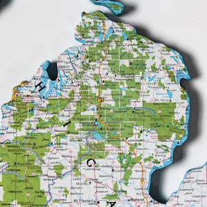
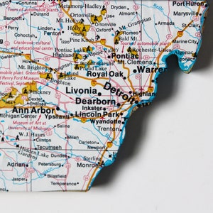
MICHIGAN State Map Wall Decor | Michigan | Michigan State | Vintage Maps | National Geographic Map | Gallery Wall | Small size
Ships from Ohio
Your order should arrive by this date if you buy today. To calculate an estimated delivery date you can count on, we look at things like the carrier's latest transit times, the seller's processing time and shipping history, and where the order is shipping to and from.
Returns accepted
You can only make an offer when buying a single item
-
Order today to get by May 1-2
Your order should arrive by this date if you buy today. To calculate an estimated delivery date you can count on, we look at things like the carrier's latest transit times, the seller's processing time and shipping history, and where the order is shipping to and from.
-
Returns accepted within 14 days
Buyers are responsible for return shipping costs. If the item is not returned in its original condition, the buyer is responsible for any loss in value.
-
Cost to ship: $11.95
There was a problem calculating your shipping. Please try again.
Etsy Purchase Protection: Shop confidently on Etsy knowing if something goes wrong with an order, we've got your back for all eligible purchases — see program terms

Other reviews from this shop
|
(359)
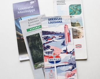
These were not one inch scale for dollhouses but they are really full size neat maps. Business allowed me to return them.
Purchased item:
Lot of 5 Vintage Road Maps | Road Maps | Vintage | TravelJeanne Payne Feb 7, 2024

Photos from reviews