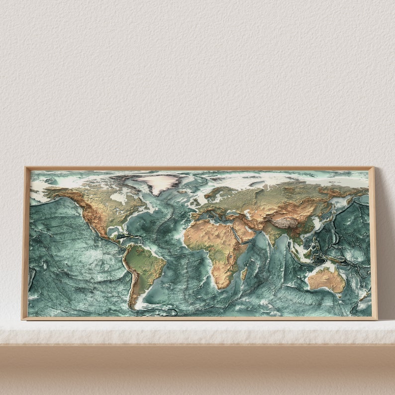



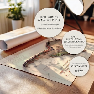
Topographic World Map: Shaded Relief Terrain Print
Star Seller
Star Sellers have an outstanding track record for providing a great customer experience—they consistently earned 5-star reviews, shipped orders on time, and replied quickly to any messages they received.
Item highlights
Seller's description
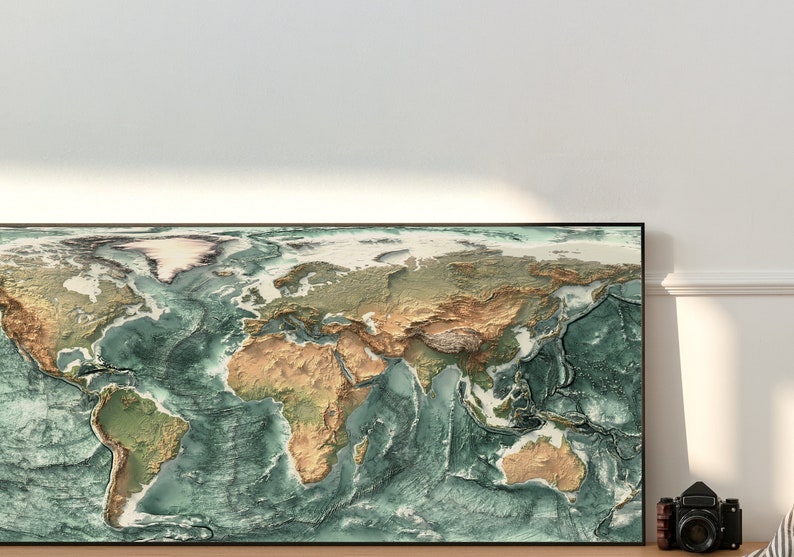
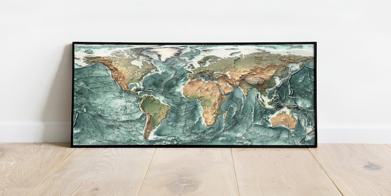
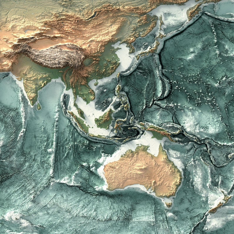
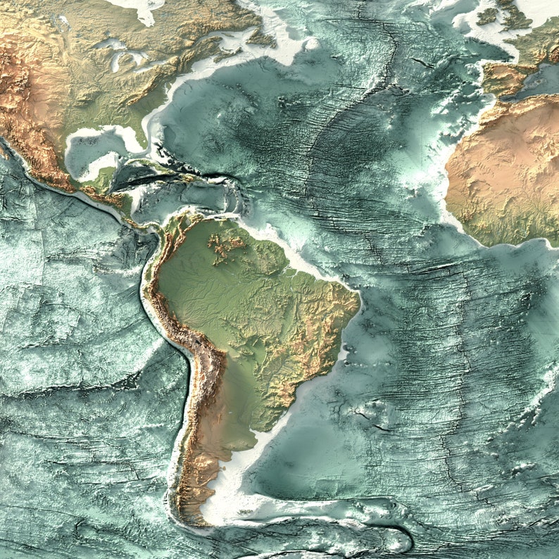
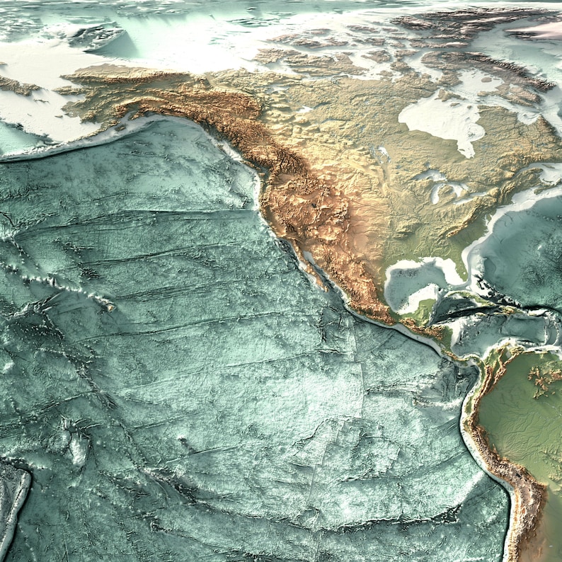
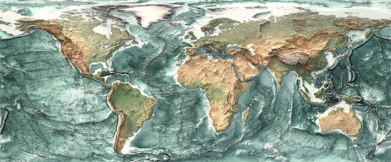
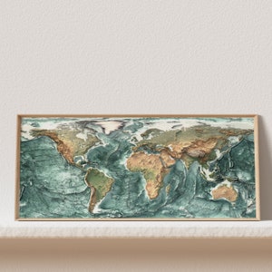
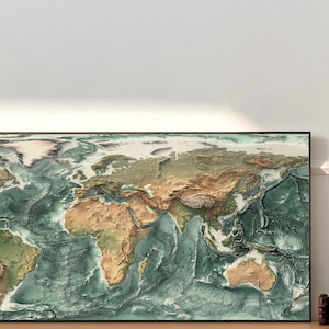
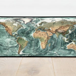
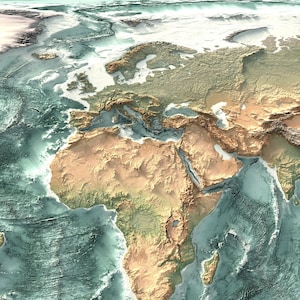
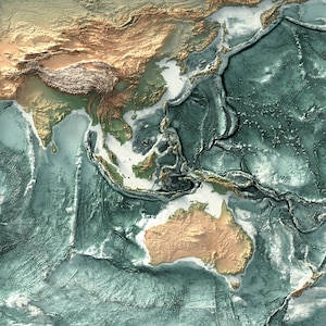
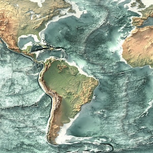
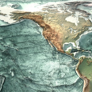
The world's terrain in deep shaded relief: ranges rise, basins sink, and modelled light does all the work. A flat archival print with remarkable depth.
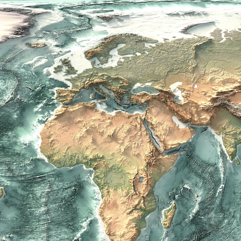
The depth here comes from physics, not from an effect. A virtual light source is placed over the elevation model and the shadows fall where they would actually fall, which is why the Himalaya reads as a wall and the Amazon basin reads as a floor. It is a flat sheet of paper: run your hand across it and it is smooth, look at it from two metres and the planet has relief.
I am a geomorphologist and cartographer with a PhD in earth science, and I render every map in this shop myself from real elevation data. The relief shading, the light angle and the colour are tuned by hand, one pass at a time, until the landform reads first and the decoration second.
NO CUSTOMS, NO IMPORT FEES
US and EU orders are printed and shipped inside your own region, so nothing crosses a border and there is nothing to pay at the door. Orders outside the US and EU may be subject to local import fees. Made to order, dispatched in 3 to 5 business days.
BEFORE YOU ORDER
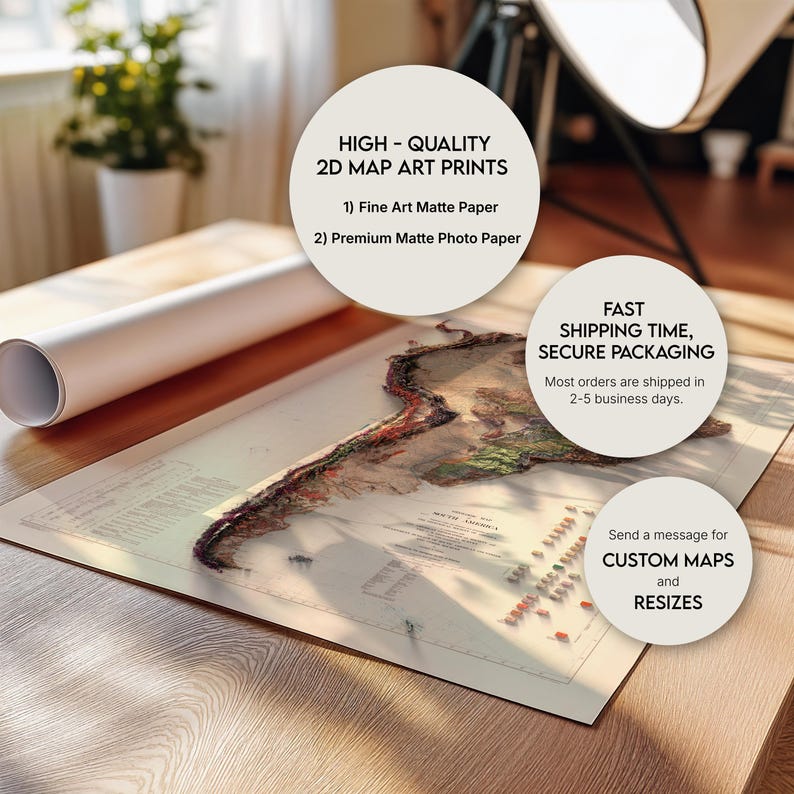
• This is a flat 2D print on paper. The 3D depth you see comes from light and shadow painted into the artwork itself, nothing on the paper is raised or embossed
• Matte Photo Paper 192 GSM or Fine Art Matte 300 GSM, pigment ink
• Unframed print only, shipped rolled in a rigid protective tube. Frames shown in the photos are for display only
• Printed colours sit a touch deeper and quieter than a backlit screen
• Please check your address and phone number at checkout
• If anything arrives damaged, message me first and I will make it right
Unroll it and let it rest face up for a few hours before framing. Custom maps of any region and alternative colourways are available, just message me.
Shop review
All reviews are from verified buyers. This review is shown automatically based on factors like recency, whether it includes comments, your chosen language, and whether the rating reflects the typical experience with the shop.
“I haven’t fully unwrapped this as it is for a Xmas gift. Very prompt delivery given it is posted from overseas. Sent in sturdy packing. The map upside is rolled in tissue paper which I haven’t get undone, but what I can see through it looks great.”
Sally
13 days ago
NowPrice:$53.20+
Original Price: $76.00+
30% off
Sale ends in 12:33:55
You can only make an offer when buying a single item
-
Get it byOct 31-Nov 6
Your order should arrive by this date if you buy today. To calculate an estimated delivery date you can count on, we look at things like the carrier's latest transit times, the seller's processing time and shipping history, and where the order is shipping to and from.
-
Cost to shipFREE to United States, 43215.
Seller's description
Specifications
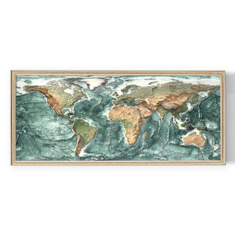
The world's terrain in deep shaded relief: ranges rise, basins sink, and modelled light does all the work. A flat archival print with remarkable depth.
The depth here comes from physics, not from an effect. A virtual light source is placed over the elevation model and the shadows fall where they would actually fall, which is why the Himalaya reads as a wall and the Amazon basin reads as a floor. It is a flat sheet of paper: run your hand across it and it is smooth, look at it from two metres and the planet has relief.
I am a geomorphologist and cartographer with a PhD in earth science, and I render every map in this shop myself from real elevation data. The relief shading, the light angle and the colour are tuned by hand, one pass at a time, until the landform reads first and the decoration second.
NO CUSTOMS, NO IMPORT FEES
US and EU orders are printed and shipped inside your own region, so nothing crosses a border and there is nothing to pay at the door. Orders outside the US and EU may be subject to local import fees. Made to order, dispatched in 3 to 5 business days.
BEFORE YOU ORDER
• This is a flat 2D print on paper. The 3D depth you see comes from light and shadow painted into the artwork itself, nothing on the paper is raised or embossed
• Matte Photo Paper 192 GSM or Fine Art Matte 300 GSM, pigment ink
• Unframed print only, shipped rolled in a rigid protective tube. Frames shown in the photos are for display only
• Printed colours sit a touch deeper and quieter than a backlit screen
• Please check your address and phone number at checkout
• If anything arrives damaged, message me first and I will make it right
Unroll it and let it rest face up for a few hours before framing. Custom maps of any region and alternative colourways are available, just message me.
-
Designed by
-
MaterialsArchival paper, paper
Delivery details and policies
-
Get it byOct 31-Nov 6
Your order should arrive by this date if you buy today. To calculate an estimated delivery date you can count on, we look at things like the carrier's latest transit times, the seller's processing time and shipping history, and where the order is shipping to and from.
-
Returns and exchangesNot accepted.
-
Ships fromWilmington, DE
-
Cost to shipFREE to United States, 43215
There was a problem calculating your shipping. Please try again.
This seller consistently earned 5-star reviews, shipped orders on time, and replied quickly to messages.
If something goes wrong with an order, we've got your back on all eligible purchases. View program terms
Etsy supports climate solutions, from electric delivery trucks to carbon offsets for every delivery. View how
Meet your seller

Usually responds in a few hours
Smooth shipping Has a history of shipping on time with tracking.
Speedy replies Has a history of replying to messages quickly.
Rave reviews Average review rating is 4.8 or higher.
More from this shop
-

The World Map: Detailed Countries, Political Boundaries and Natural Topography, Wall Decor, Map Art Print
Sale Price $90.30
Original Price $129.00
-

World Physical Map: Elevation & Topographic Tint Wall Art Print, Geography Lovers Gift
Sale Price $41.30
Original Price $59.00
-

World Map: Natural Topography Wall Art Print with Realistic Relief and Ocean Detail
Sale Price $69.30
Original Price $99.00
-

World Map Wall Art, Relief Style World Map (Flat Ocean) Print, Large Topographic World Map Poster, Earth Elevation Map, Office Wall Art
Sale Price $69.30
Original Price $99.00
-

Equal Earth World Map with Landform Labels: True Size Projection, Terrain Relief Print
Sale Price $104.30
Original Price $149.00
-

World Political Map: Topographic Elevation Print, Relief Wall Art, Office Decor
Sale Price $48.30
Original Price $69.00
-
Vintage World Map Canvas Wall Art, Classic Global Map Print, Earth Geography Canvas, Home Office Wall Decoration, Ready to Hang Artwork
Sale Price $38.22
Original Price $78.00
-
World Topography including Ocean Floor- Shaded Relief Map
Sale Price $41.97
Original Price $55.96
-
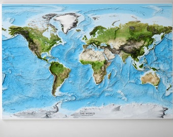
Exaggerated Relief World Map: 3D Terrain and Ocean Floor Detail
$50.00
-
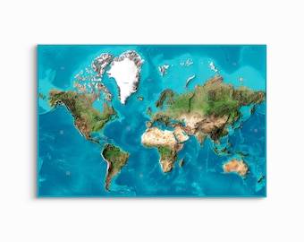
World Shaded Relief Map - Satellite Imagery UNFRAMED ART PRINT
Sale Price $64.40
Original Price $80.50
-
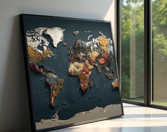
World Map Canvas Wall Art, Vintage Earth Tone Global Map, Style Travel Decor, Geography Canvas for Office & Living Room
Sale Price $48.00
Original Price $96.00
-
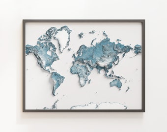
The World - Shaded Relief Map - Natural Topography
Sale Price $41.97
Original Price $55.96
-

Vintage World Topographic Map (c.1961) - Vintage Map - Shaded Relief Map
Sale Price $50.37
Original Price $67.16
-
Antique World Map Framed Canvas Print | Vintage National Geographic | Large Wall Art for Travelers and Decor Enthusiasts | Map Wall Decor
$85.82
-

World Map Wall Art, Black And Gold World Map, Luxury Map Decor, Vintage World Map Print, Antique Map Artwork, Travel Wall Decor,Office Decor
Sale Price $49.99
Original Price $99.98
-
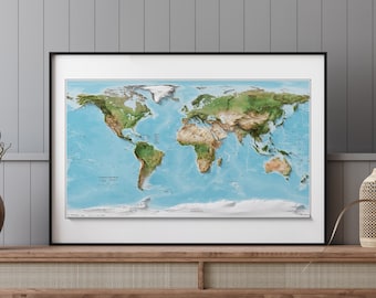
Countries of the World Map - Shaded Relief Map
Sale Price $50.37
Original Price $67.16
-

The World - Shaded Relief Map - Imagery
Sale Price $41.97
Original Price $55.96
-

Topographic World Map: Equal Earth Projection Satellite Image (Personalized Options)
$60.00
Shoppers with similar taste loved these
-

Digital download
3D World Map | Laser Cutting Files for creating multilayered wall art available in SVG, AI, DXF, and Lightburn format
Sale Price $6.07
Original Price $10.12
-

Digital download
Laser Cut Map SVG Files: City & Lake Maps (Digital Download)
Sale Price $37.49
Original Price $49.99
-

Digital download
Map of the World 3D, Laser Cut file, SVG, EPS, DXF, cdr, pdf, Multilayered, File for Laser Cutter, Vector file, Digital, 192x117cm, 6'x4'
Sale Price $17.92
Original Price $22.40
-

Digital download
3d layered world map laser cut design, multilayered wall art, 3d map of the world laser cut file, multilayer world map laser cut, wall decor
Sale Price $3.53
Original Price $4.71
-

Digital download
6 layer 3D map of the world, multi -layer panel,laser cut file. 3D Wood World Map Antistress coloring, 6 layers. 260 mm, Bonus: panel-clock
Sale Price $6.17
Original Price $9.50
-

Custom Miniature Hand Cut Map ORIGINAL Artwork, 4x4
$68.00
-
Digital download
Durban Skyline Print, South Africa City Art (Digital Download)
$9.37
-
Digital download
visa stamps svg files bundle, stamp cricut, stamp svg silhouette, stamp clipart, stamp printable, stamp svg monogram, stamp engraving, png
$2.49
-

Digital download
World Globe Map laser cut svg dxf files wall sticker engraving decal silhouette template cnc cutting router digital vector instant download
Sale Price $4.99
Original Price $19.96
-
Digital download
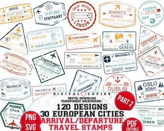
European Cities Travel Stamps: Arrival Departure Clipart (SVG PNG PDF)
Sale Price $3.34
Original Price $5.58
-

Digital download
City Skyline Silhouette Clipart: Urban Buildings PNG SVG EPS (Digital Download)
$1.76
-
Digital download
City Skyline Silhouette Clipart, SVG Vector (Digital Download)
$2.87


Looking for more? Find it on Etsy