


Price:CA$24.44+
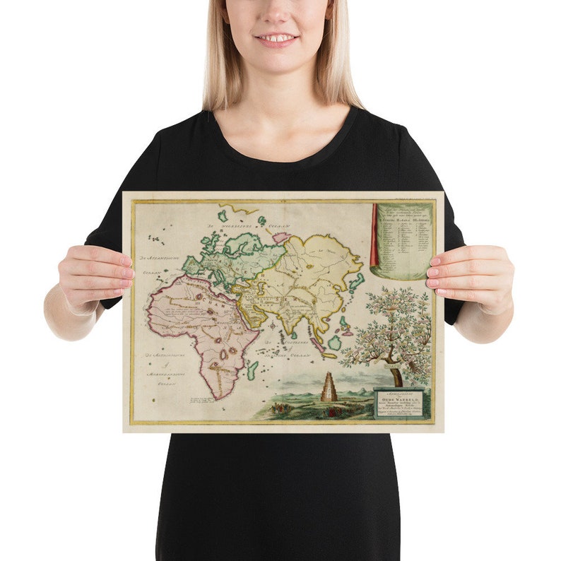
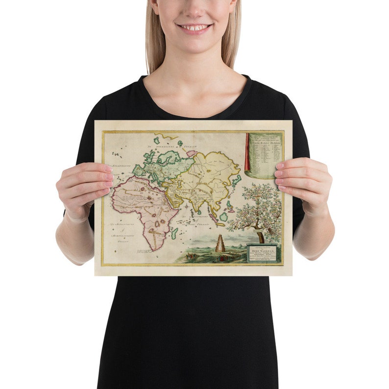
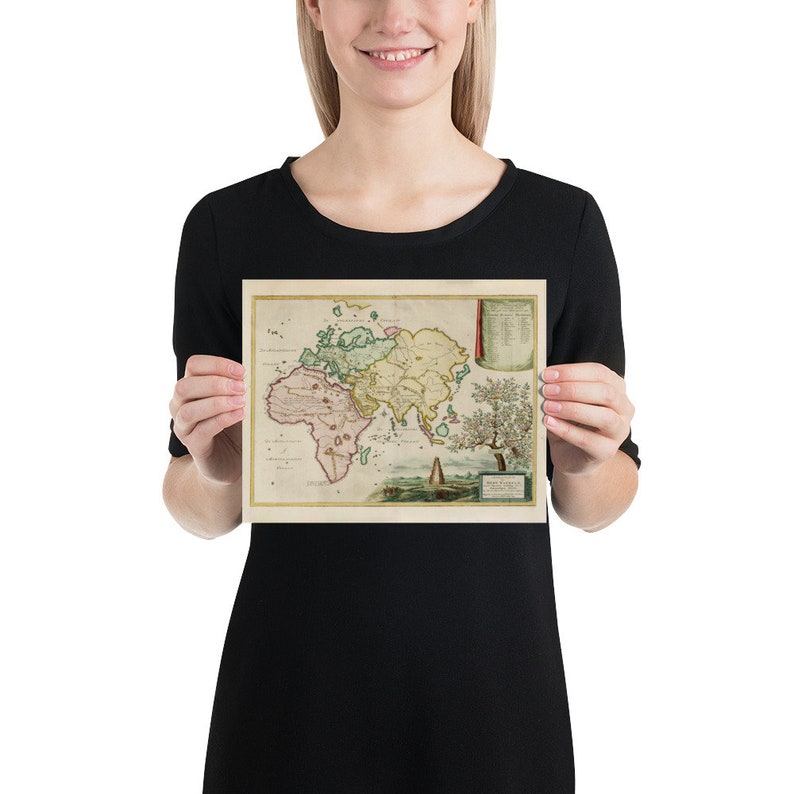
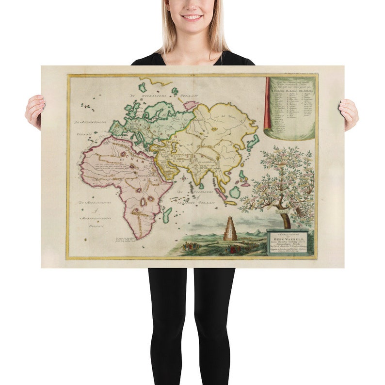
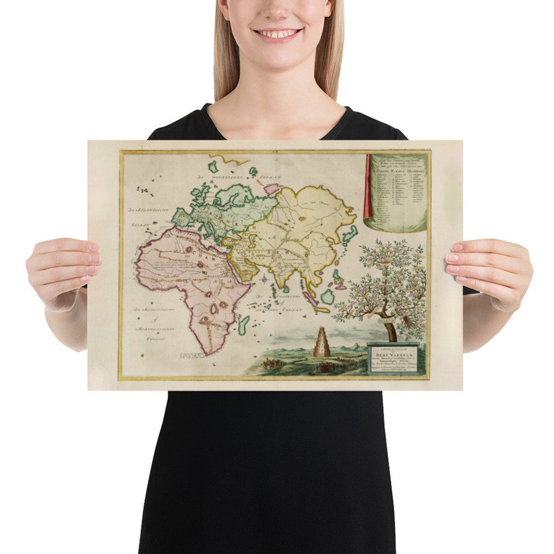
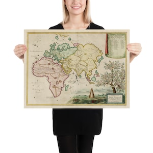
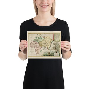
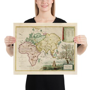
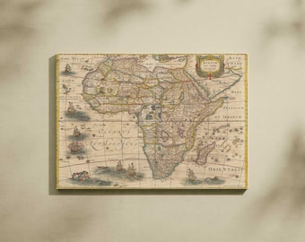
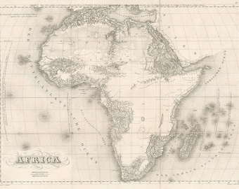
Old Afro-Eurasia Pangea Map (1749) Africa, Asia and Europe Continents Atlas Poster
You can only make an offer when buying a single item.
Highlights
This is a historical map reproduction print of Pangea continent divisions between Europe, Asia and Africa originally produced in 1749. The map itself features several geographical aspects that include continents, mountains, islands, oceans, rivers, lakes, exploration routes and much more! The map makes a wonderful gift for eastern hemisphere historians and history buffs, geographers, genealogists, those with local family ancestry, vacationers and tourists, residents. The map also makes a perfect decorative addition to any home or office!
Museum-quality posters made on thick and durable matte paper. Add a wonderful accent to your room and office with these posters that are sure to brighten any environment.
Please feel free to reach out to us with any questions you might have about this item!
Museum-quality posters made on thick and durable matte paper. Add a wonderful accent to your room and office with these posters that are sure to brighten any environment.
• Paper thickness: 10.3 mil
• Paper weight: 5.57 oz/y² (189 g/m²)
• Giclée printing quality
• Opacity: 94%
• ISO brightness: 104%
Production partners
OldMapTravelerStore makes this item with help from-
Order today to get by 20 May-01 Jun
Your order should arrive by this date if you buy today. To calculate an estimated delivery date you can count on, we look at things like the carrier's latest transit times, the seller's processing time and dispatch history, and where the order is dispatched from and delivered to.
-
Returns & exchanges not accepted
But please contact me if you have problems with your order
-
Delivery cost: CA$11.49
-
Dispatched from: Charlotte, NC
There was a problem calculating your postage. Please try again.
Etsy Purchase Protection
Shop confidently on Etsy knowing if something goes wrong with an order, we've got your back for all eligible purchases —
see programme terms

Reviews for this item
this is exactly as described.


More from this shop
Visit shop-
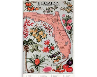
Vintage Florida Map (1917) Vegetation Illustrative Atlas Poster
CA$27.32
-
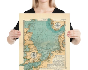
Old Viking Sailing Routes Map (1906) Vintage Norse Explorations of England Atlas Poster
CA$24.44
-
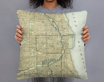
Custom Map Throw Pillow - Custom Map Pillow - Map Toss Pillow - Home Decor - Couch and Sofa Atlas Cushion
CA$45.29
-
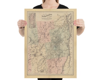
Old Adirondack Mountains Map (1879) Upstate New York Topography Atlas Poster
CA$24.44
-
Digital download
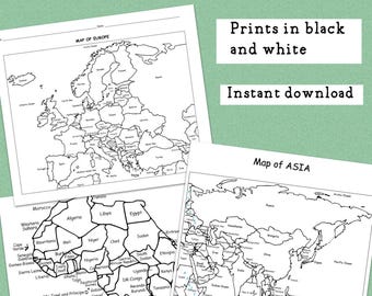
Printable Maps of Europe, Asia, and Africa
CA$6.47
-
Digital download
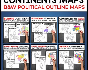
World Map Continents Outline Map of the Continents BW Map of the Continents Map of Africa Map of North America Map of Europe Map of Africa
CA$18.22
-
Digital download
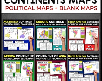
World Continents Blank Maps Outline Maps of the World Continents Activity Map Asia Map Australia Map Europe Map Africa Map North America Map
CA$10.87
-
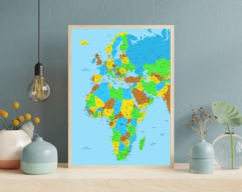
Large detailed map of Europe and Africa, African continent
CA$52.27
-
Digital download
Antique Map of Africa - Captivating Wall Decor from 1641, Digital Download
Sale Price CA$5.13
Original Price CA$6.85
-
Digital download
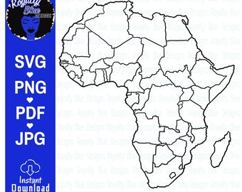
Blank Map of AFRICA, Continent, Black Outline, African Geography, Countries, Printable, World Atlas, Geographical Worksheet, svg, png
CA$2.86
-
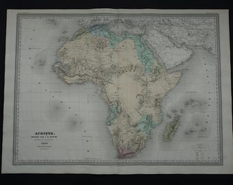
AFRICA antique map LARGE - beautiful hand-colored 1880 original old map of the African continent - vintage poster Africa - 24x32" big maps
CA$200.54
-
Digital download
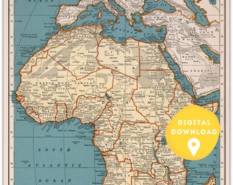
Vintage Africa Map Print: Countries, Cities, Borders (Digital Download)
CA$4.24
-
1830 Map of Africa
CA$67.58
-
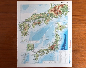
Japan and Africa map, vintage 1978 book page from atlas, vintage maps in excellent condition, Japan on front, Africa: Physical on back
CA$8.63
-
Digital download
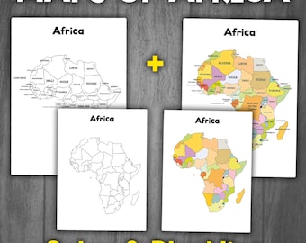
Maps of Africa (Color & Black White) | Political Map of Africa | Countries of Africa Map | Montessori Maps of Continents
CA$2.73
-
Digital download
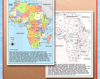
Printable Africa political map Continent countries school map travel plans Digital download
CA$4.10

