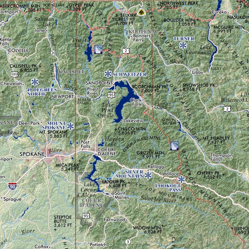
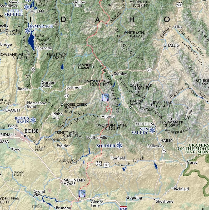
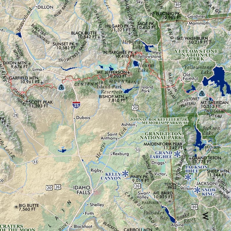
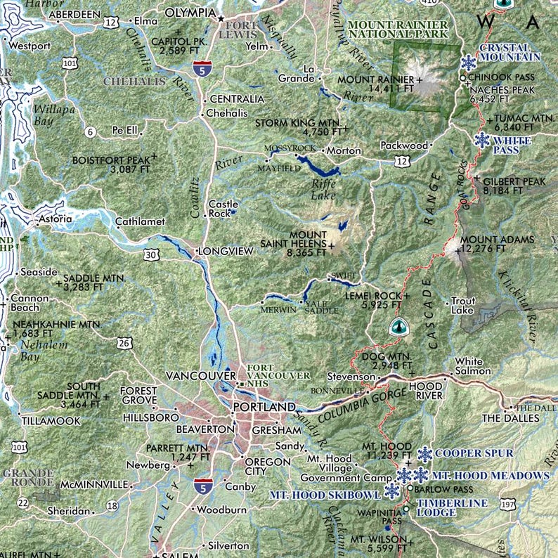
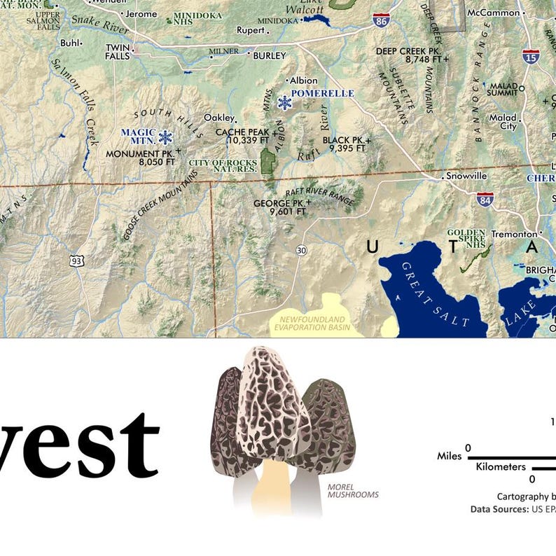


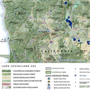
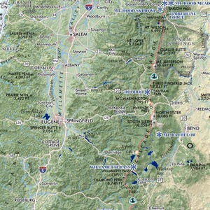
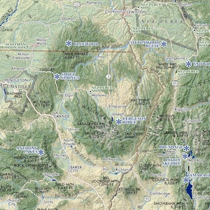
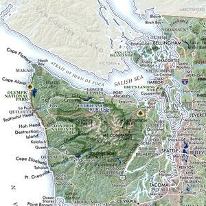
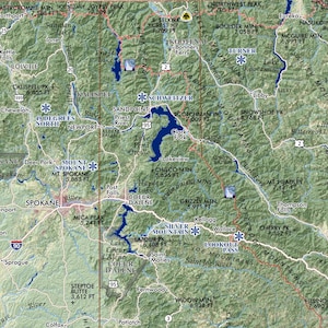
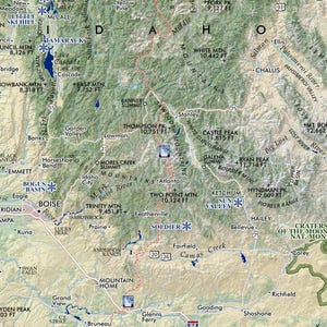
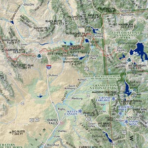
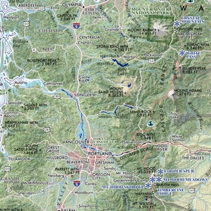
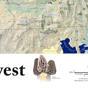
The Pacific Northwest (24 in x 20 in)
Star Seller
Star Sellers have an outstanding track record for providing a great customer experience—they consistently earned 5-star reviews, shipped orders on time, and replied quickly to any messages they received.
Item highlights
Item review
All reviews are from verified buyers. This review is shown automatically based on factors like recency, whether it includes comments, your chosen language, and whether the rating reflects the typical experience with the shop.
“I love the map, it’s exactly what I wanted.”
Melissa
Jul 19, 2026
8 views in the last 24 hours
Price:$36.00
You can only make an offer when buying a single item
-
Get it byOct 27-31
Your order should arrive by this date if you buy today. To calculate an estimated delivery date you can count on, we look at things like the carrier's latest transit times, the seller's processing time and shipping history, and where the order is shipping to and from.
-
Returns & exchangesAccepted within 30 days
Buyers are responsible for return shipping costs. If the item is not returned in its original condition, the buyer is responsible for any loss in value.
-
Cost to ship$21.10 to United States, 43215.
Reviews for this item
I love the map, it’s exactly what I wanted.
Gorgeous map of the PNW! It will work perfectly for a gift
The item is of great quality and matches the description provided. It was easy to find an inexpensive frame from Target for the print. I use it to track the places I've visited in the PNW. Beautiful!
Just what I was hoping for! I plan to use it to track the hikes that I complete!
Response from Paul Mitchell
Thanks very much for your order & review -- happy trails!
Seller's description
Specifications
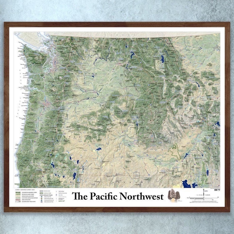
UNFRAMED WALL MAP (Frames are NOT included - framed pictures are for exemplar purposes only)
1:2,000,000
24 inch x 20 inch — flat wall map, printed on a heavy fine paper — shipped rolled.
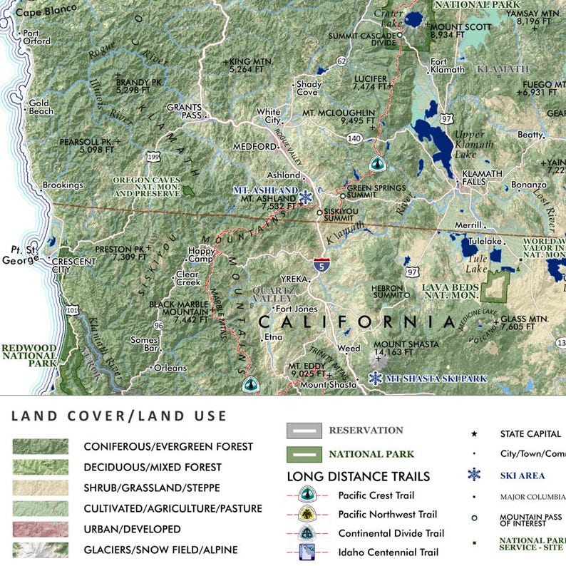
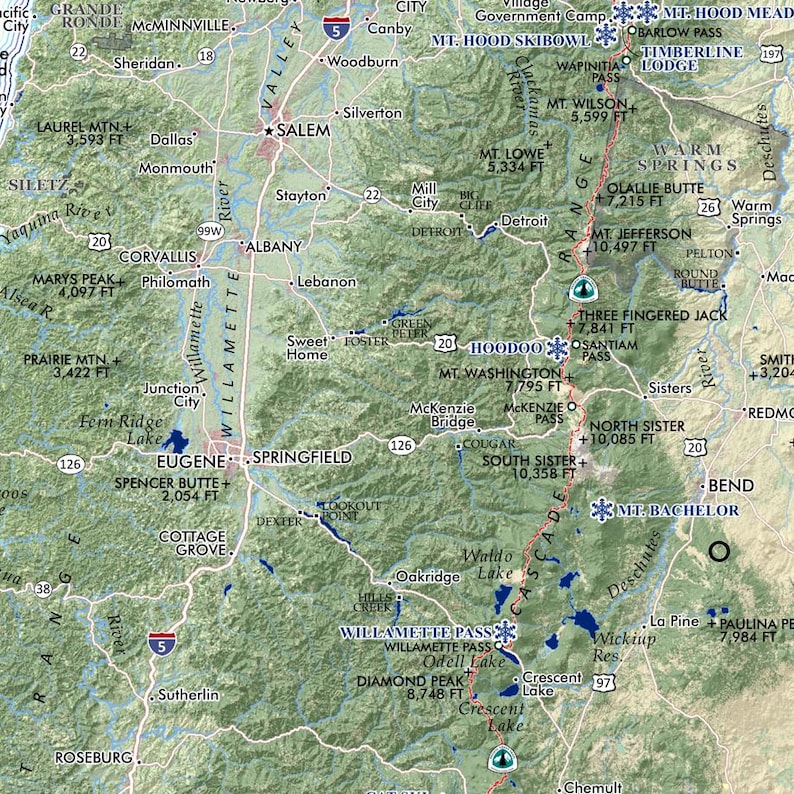
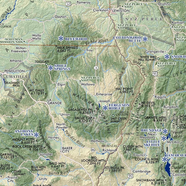
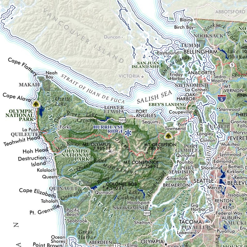
Pacific Northwest region map
A regional representation of the Pacific Northwest states with an emphasis upon land cover, land use and terrains — this is a “general purpose reference map” in which broad landscapes and land uses may be interpreted. National parks, reservations, long distance wilderness trails (i.e. PCT, CDT, PNWT, ICT), major Columbia Basin/BPA dams, most alpine ski areas, cities & places, prominent summits, landforms, highways, and hydropgraphy are labeled for reference.
This is more an administrative Pacific Northwest map in scope covering the entire US area of the Columbia River watershed and a vast northwestern extent from the Bridger Range and the Greater Yellowstone area in the east to the West Coast, and a southern edge that captures Shasta and the most northern stretch for the Wasatch and then up to Canada in the North. Washington, Oregon, Idaho are entirely included along with western Montana, a sliver of western Wyoming, and the northern sections of California, Nevada, and Utah. National parks, reservations, long distance wilderness trails (i.e. PCT, CDT, PNWT, ICT), places, prominent summits, landforms, highways, and hydrography are labeled for reference.
-
Designed by
-
MaterialsRecycled paper
Delivery details and policies
-
Get it byOct 27-31
Your order should arrive by this date if you buy today. To calculate an estimated delivery date you can count on, we look at things like the carrier's latest transit times, the seller's processing time and shipping history, and where the order is shipping to and from.
-
Returns and exchangesAccepted within 30 days
Buyers are responsible for return shipping costs. If the item is not returned in its original condition, the buyer is responsible for any loss in value.
-
Ships fromBoise, ID
-
Cost to ship$21.10 to United States, 43215
There was a problem calculating your shipping. Please try again.
This seller consistently earned 5-star reviews, shipped orders on time, and replied quickly to messages.
If something goes wrong with an order, we've got your back on all eligible purchases. View program terms
Etsy supports climate solutions, from electric delivery trucks to carbon offsets for every delivery. View how
Meet your seller

Usually responds in a few hours
Smooth shipping Has a history of shipping on time with tracking.
Speedy replies Has a history of replying to messages quickly.
Rave reviews Average review rating is 4.8 or higher.
More from this shop
-

Cascades at Comparative Scale (24 in x 20 in)
$36.00
-
Columbia River Watershed (13 in x 19 in)
$25.00
-
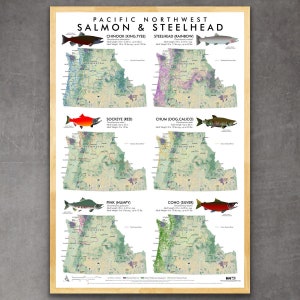
Pacific Northwest Salmon & Steelhead Distribution Map
$25.00
-
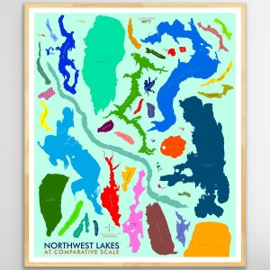
Northwest Lakes at Comparative Scale (24 in x 20 in)
$36.00
-
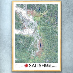
Salish Sea Confluence (13 in x 19 in)
$25.00
-

Washington Ecological Regions Map (24 inch x 20 inch)
$36.00
-
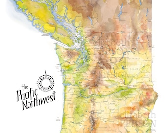
Pacific Northwest Map Watercolor Illustration Washington Oregon BC Map Upper Left USA Northwest PNW Wall Art Gift Local Print
$38.00
-
1859 State of Oregon and Washington Territory Map - Vintage Pacific Northwest Wall Art - Pacific Northwest Decor - Pacific Northwest Map
$39.99
-
Pacific Northwest Topographic Map Art Print, Washington Oregon Idaho State Poster
$22.39
-
1880 Map of Oregon and Washington Territory - Vintage Pacific Northwest Map - Pacific Northwest Wall Art - Pacific Northwest Map Poster
$45.99
-
Pacific Northwest Map Print, Map of Pacific Northwest, Puget Sound Gift, Washington Map Print, Oregon Gift, Vancouver Poster, West Coast USA
$35.00
-
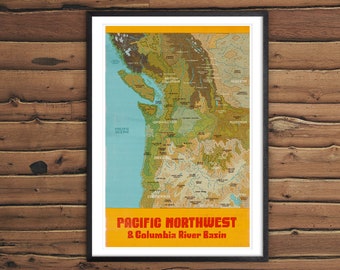
PNW Illustrated Map - Map poster - Pacific Northwest
$35.00
-
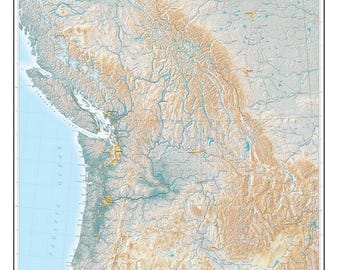
The Pacific Northwest Elevation Tints Fine Art Print Map
$91.00
-

PNW Rivers and Lakes Map: Pacific Northwest Hydrological Poster
$22.93
-
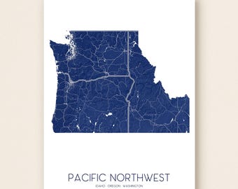
Pacific Northwest Coast Map Print USA, Topographic PNW Art Poster, Washington, Idaho, Oregon
$22.39
-

Deschutes River, Central Oregon Illustrated Map - Map poster - Pacific Northwest
$35.00
-
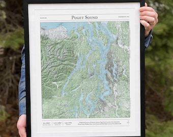
Puget Sound Topographic Map: Washington State Art Print
$40.00
-
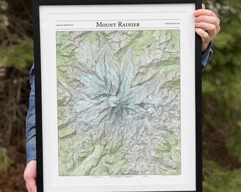
Mt. Rainier Topographic Map Print: Washington Cascade Mountains
$40.00
Shoppers with similar taste loved these
-

Digital download
National Parks SVG Cut Files: All 63 USA Parks (Digital Download)
Sale Price $7.00
Original Price $27.99
-

Digital download
National Parks SVG Cut Files: All 63 USA Parks (Digital Download)
Sale Price $6.25
Original Price $24.99
-

Digital download
All 63 USA National Parks Hexagon SVG Cut Files (63)
Sale Price $6.25
Original Price $24.99
-

Digital download
USA National Parks SVG Cut Files: All 63 Parks Clip Art (Digital Download)
Sale Price $5.75
Original Price $22.99
-

Digital download
National Parks Animal SVG: All 63 USA Parks Cut Files (Digital Download)
Sale Price $6.75
Original Price $26.99
-

Digital download
All 63 USA National Parks SVG Cut Files: Vector Graphics for Cricut, Silhouette
Sale Price $5.75
Original Price $22.99
-

Digital download
All 63 USA National Parks SVG Cut Files: Vector Clip Art (Cricut & Silhouette)
Sale Price $6.25
Original Price $24.99
-

Digital download
National Parks SVG Cut Files: All 63 USA Parks (Digital Download)
Sale Price $6.25
Original Price $24.99
-

Digital download
US National Park Travel Posters All Set of 63 Digital Download Wall Art Printable for Living Room Decor Outdoor Vintage Bundle Adventure
$10.50
-

National Park Map Poster, Push Pin Maps Travel Map, Large US Map Wooden Wall Art, Apartment Wood Wall Decor, 5th Anniversary Gift
Sale Price $173.44
Original Price $231.25
-

US National Parks Map Wood USA Map PushPin Map Wall Art Wood Map Custom Map Travel Map Home Decor Wall Decor Christmas Gift For Him
Sale Price $180.00
Original Price $300.00
-
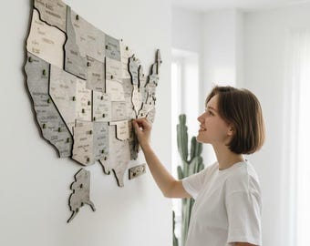
All 64 Wooden US National Park Travel Map, Wall Art Tracker, Christmas Gift
Sale Price $99.71
Original Price $199.42


Looking for more? Find it on Etsy