


Price:$289.99+
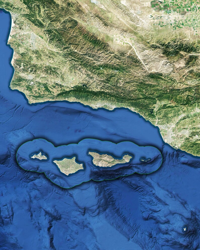
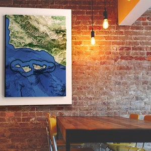
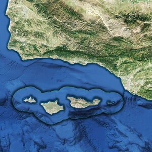
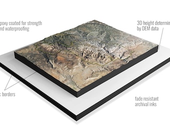
Channel Islands National Park 3D Raised Relief Map Satellite Imagery
Returns & exchanges accepted
You can only make an offer when buying a single item
Highlights
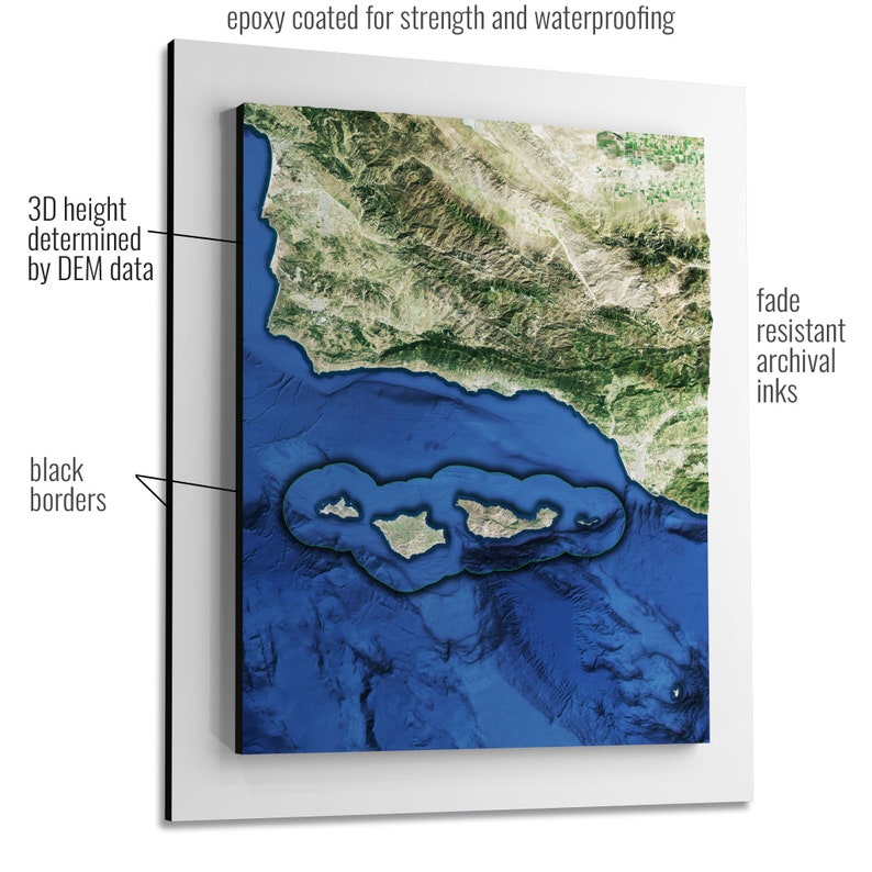
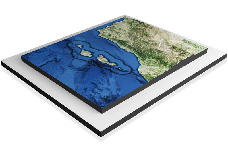
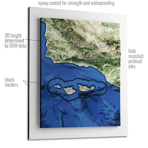
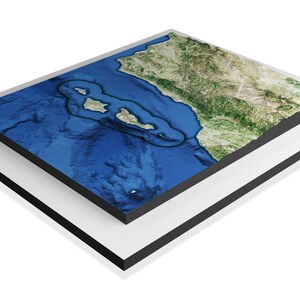
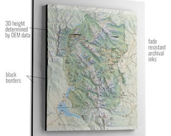
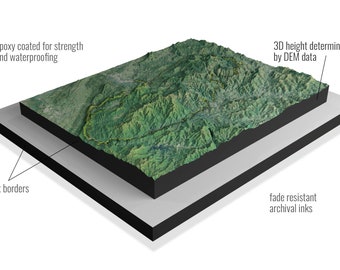
These raised relief maps transcend flat representations, offering a dynamic 3D topographical experience. Crafted through a fusion of USGS mapping data and DEM data, our meticulous process utilizes 3D Printing and 3D CNC routers to fabricate these models, ensuring unparalleled accuracy. The vinyl graphics showcase fade-resistant inks in high resolution. This imagery comes from Google Earth satellite. (Other imagery options available on the WhiteClouds store).
These robust models undergo a comprehensive treatment – coated with epoxy and finished with a proprietary weatherproofing process, resulting in a durable matte finish with sleek black sides. The base, constructed from MDF wood, is elegantly painted black. It's important to note that these creations are not intended for direct sunlight exposure.
-
Order today to get by May 18-Jun 1
Your order should arrive by this date if you buy today. To calculate an estimated delivery date you can count on, we look at things like the carrier's latest transit times, the seller's processing time and shipping history, and where the order is shipping to and from.
-
Returns & exchanges accepted within 30 days
Buyers are responsible for return shipping costs. If the item is not returned in its original condition, the buyer is responsible for any loss in value.
-
Free shipping
-
Ships from: Ogden, UT
There was a problem calculating your shipping. Please try again.
Etsy Purchase Protection
Shop confidently on Etsy knowing if something goes wrong with an order, we've got your back for all eligible purchases —
see program terms

Be the first to review this item

More from this shop
Visit shop-
Rocky Mountain National Park 3D Raised Relief Map National Park Service Map Imagery
$289.99
-
Great Smoky Mountains National Park 3D Raised Relief Map Satellite Imagery
$289.99
-
Zions National Park 3D Raised Relief Map Satellite Imagery
$289.99
-
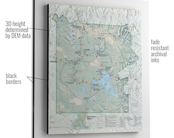
Yellowstone National Park 3D Raised Relief Map National Park Service Map Imagery
$289.99
-
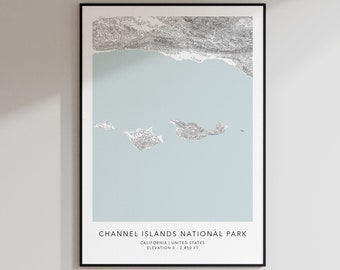
Channel Islands National Park Map Print | Topographic Contour Map | Channel Islands California | Topographic Print | Minimalist Map Print
$24.99
-
Digital download
Channel Islands National Park Poster, California Travel Art
$5.00
-

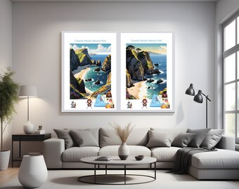
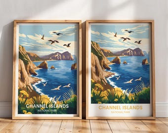
Channel Islands National Park California Travel Print Gift Hiking Wall Art Home Decor Poster
Sale Price $18.00
Original Price $24.00
-
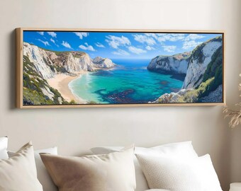
Channel Islands National Park Wall Art, Channel Islands National Park, Channel Islands National Park Poster, Channel Islands Painting
$24.99
-

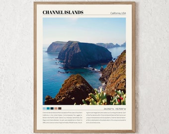
Channel Islands National Park Print / Poster of Channel Islands, National Park Poster, Channel Islands National Park poster, Channel Islands
$12.99
-
Channel Islands National Park Print | Channel Islands Wall Art | Channel Islands National Park Poster | Channel Islands Photo Canvas Gift
Sale Price $17.56
Original Price $25.08
-
Digital download
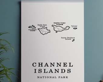
Channel Islands National Park Wall Art | Minimalist Map Print for Hikers | Digital Download
Sale Price $1.79
Original Price $1.99
-
Digital download
Channel Islands National Park Poster, Channel Islands national Park Print, Channel Islands National Park wall art, Channel Islands gift
$4.99
-

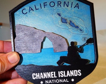
Custom Channel Islands National Park Ornament, Channel Islands Gift, Channel Islands Christmas Ornament, Channel Islands Christmas Gift
$14.99
-
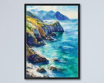
Channel Islands National Park Watercolor Poster Channel Islands California Travel Print Wall Art Channel Islands Home Decor Channel Islands
Sale Price $16.97
Original Price $24.24
-
Digital download
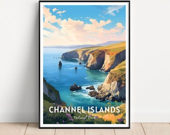
Channel Islands National Park Travel Poster | Channel Islands Print | Channel Islands Painting | Channel Islands Park California Wall Art
$3.96
-
Channel Islands National Park
$45.00


Looking for more? Find it on Etsy