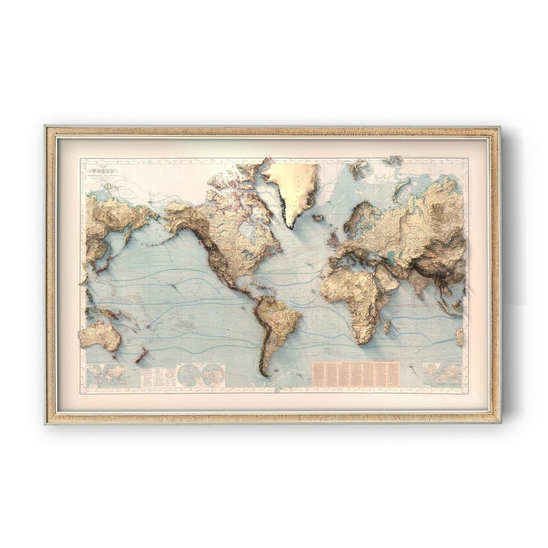



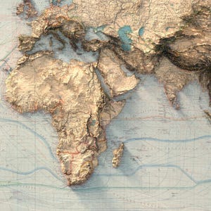
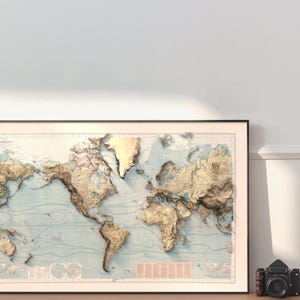
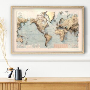
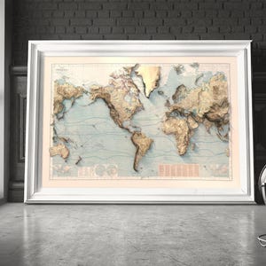
Antique World Map: Berghaus Chart Restored by Hand, Modern Relief Shading, Matte Paper Print
Price:$89.00+
Star Seller
Star Sellers have an outstanding track record for providing a great customer experience—they consistently earned 5-star reviews, shipped orders on time, and replied quickly to any messages they received.
You can only make an offer when buying a single item
Star Seller. This seller consistently earned 5-star reviews, shipped on time, and replied quickly to any messages they received.
Highlights
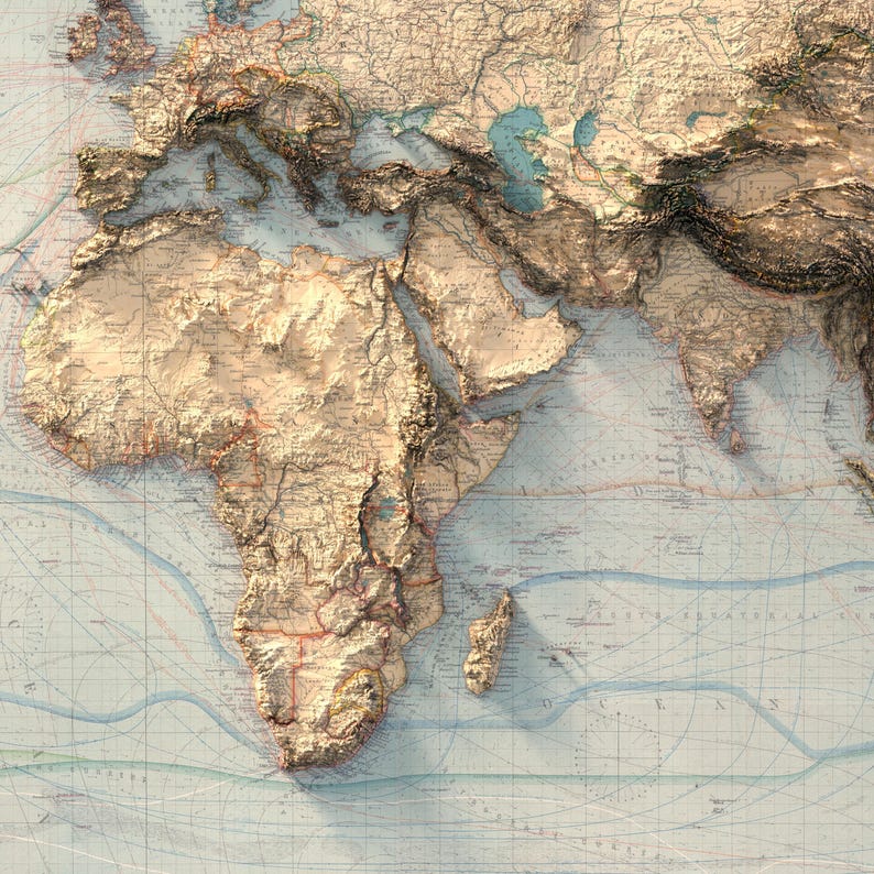
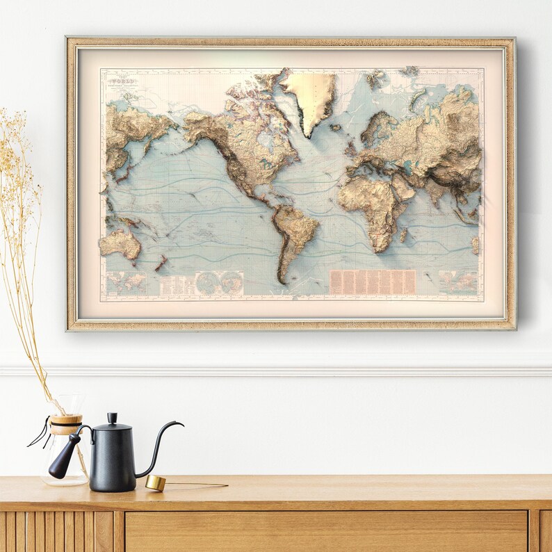
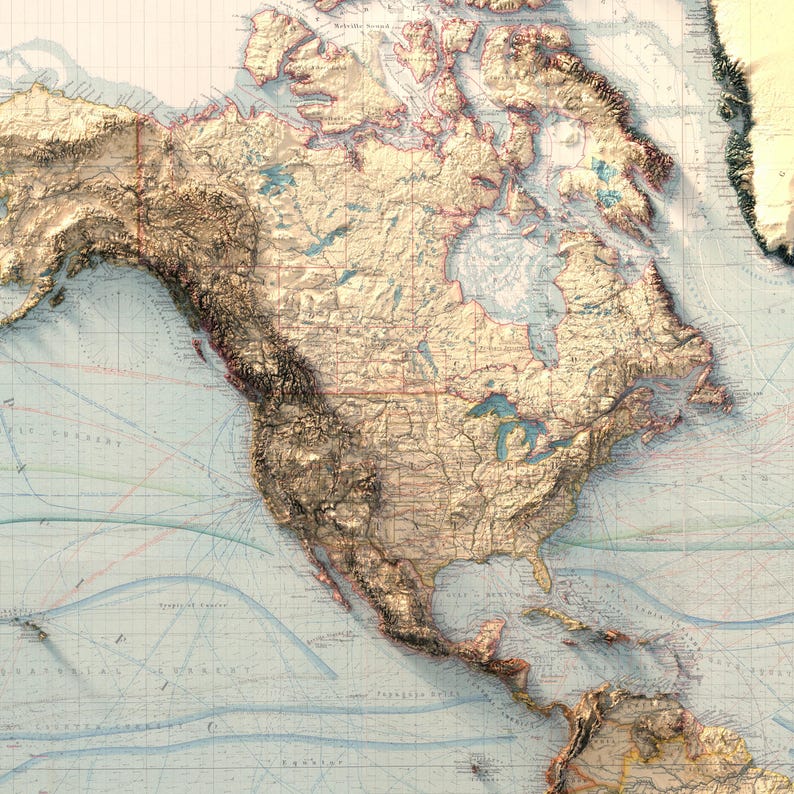
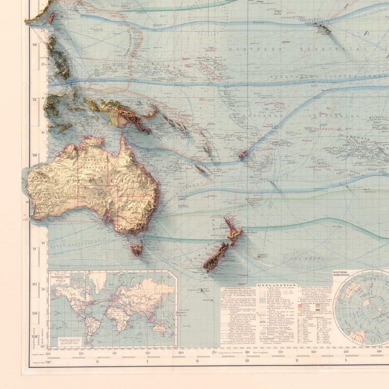
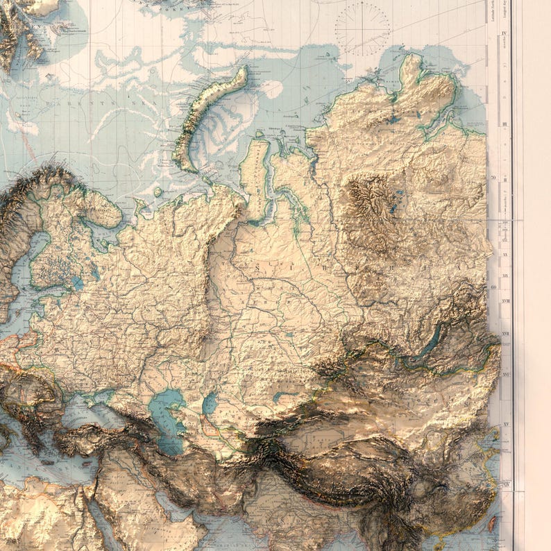
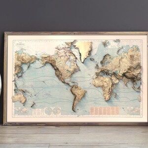
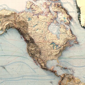
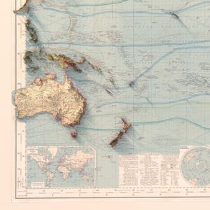
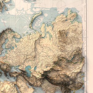
Berghaus drew this world map in 1897. We restored the sheet, then rebuilt the terrain underneath it from modern elevation data, so the shading follows real mountains instead of the engraving convention of the day. The character is 1897. The relief is measured.
My background is a PhD in earth science and years of geomorphological mapping, which is exactly what a restoration like this needs: enough cartographic training to leave the original alone, and enough terrain modelling to rebuild what sits beneath it.
YOUR OPTIONS
PRINT ONLY
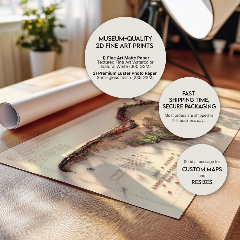
- Museum grade giclee print on premium matte paper, pigment ink
- Colours sit rich, deep and glare free
- Ships rolled in a rigid protective tube, ready for the frame you choose
FRAMED, READY TO HANG
- Black, White, Light Wood, Vintage Bronze or Retro Gold frame, the same museum grade print inside
- Plexiglass front, backing board and hanging hardware included
- Arrives fully assembled: out of the box and onto the wall in one minute
- Black is the timeless gallery choice, Light Wood warms a modern room, Vintage Bronze brings a collected, old world feel, and Retro Gold adds a warm metallic edge
- The 54 x 36 size ships as Print Only, ready for the frame you choose
NO CUSTOMS, NO IMPORT FEES
US and EU print only orders are printed and shipped inside your own region, so nothing crosses a border and there is nothing to pay at the door. Orders outside the US and EU may be subject to local import fees. Made to order, dispatched in 3 to 5 business days, framed orders a few days longer.
BEFORE YOU ORDER
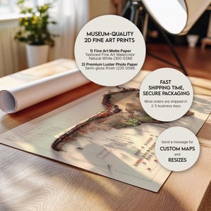
- This is a flat 2D print on paper. The depth you see comes from light and shadow painted into the artwork itself, nothing on the paper is raised or embossed
- One paper, chosen so there is nothing to get wrong: premium matte, pigment ink
- Print Only ships rolled in a rigid protective tube. Framed maps arrive assembled and ready to hang
- Place names in the shaded and mountainous areas are set in fine cartographic type. Up close on the larger sizes you can pick them out one by one; from across the room they settle into texture. If the lettering matters to you, choose the larger size.
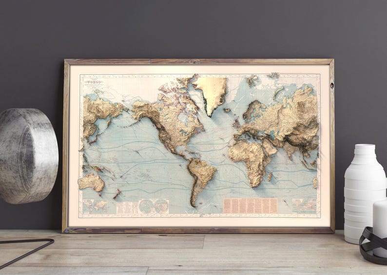
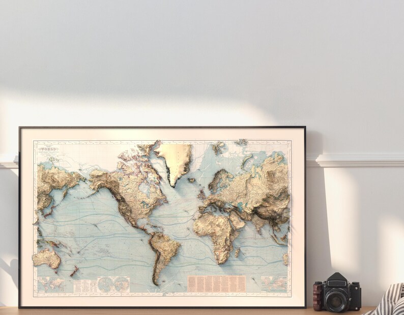
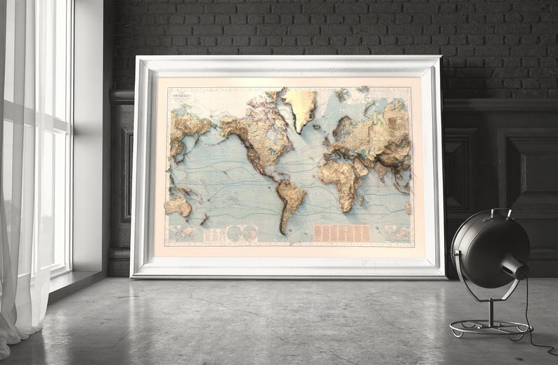
- Room and frame photos are digital mockups made to show scale and colour. The frame you receive is a real moulding in the colour you choose, and wood grain and tone vary a little from piece to piece
- Printed colours sit a touch deeper and quieter than a backlit screen
- Please check your address and phone number at checkout
- If anything arrives damaged, message me first and I will make it right
A framed map is ready to hang the moment you unbox it. For prints, unroll it and let it rest face up for a few hours before framing. Custom maps of any region and alternative colourways are available, just message me.
Production partners
Kuzeyoku makes this item with help from-
Order today to get by Nov 2-12
Your order should arrive by this date if you buy today. To calculate an estimated delivery date you can count on, we look at things like the carrier's latest transit times, the seller's processing time and shipping history, and where the order is shipping to and from.
-
Returns & exchanges not accepted
But please contact me if you have problems with your order
-
Free shipping
-
Ships from: Wilmington, DE
There was a problem calculating your shipping. Please try again.
Etsy Purchase Protection
Shop confidently on Etsy knowing if something goes wrong with an order, we've got your back for all eligible purchases —
see program terms

Reviews for this item
Great service, great communication. Very pleased with the map.

More from this shop
Visit shop-
The World Map: Detailed Countries, Political Boundaries and Natural Topography, Wall Decor, Map Art Print
$129.00
-

World Physical Map: Elevation & Topographic Tint Wall Art Print, Geography Lovers Gift
$59.00
-
World Map: Natural Topography Wall Art Print with Realistic Relief and Ocean Detail
$99.00
-

World Map Wall Art, Relief Style World Map (Flat Ocean) Print, Large Topographic World Map Poster, Earth Elevation Map, Office Wall Art
$99.00
-

Antique World Map | Maritime & Topographic Chart | Historical Atlas | Fine Print
Sale Price $56.80
Original Price $75.74
-

World Map on Mercator's Projection | Victorian Era Cartography Print | Antique Extra-Large Wall Art
Sale Price $59.42
Original Price $79.23
-

Antique World Map | 19th Century Earth Map | Historical Cartography Art | Giclee Reproduction
Sale Price $45.44
Original Price $60.59
-

Map of the world, old map with illustrations, restoration style wall decor
Sale Price $41.33
Original Price $55.11
-

Map of the world in Hemispheres, classic map from 19th century, vintage style decor, wonderful housewarming addition
Sale Price $41.33
Original Price $55.11
-

World Map | Antique Mercator Projection with Polar Insets | Vintage Geography Art Print
Sale Price $49.81
Original Price $66.41
-

Vintage World Map Canvas Art: Framed Old Map Print
Sale Price $65.02
Original Price $100.03
-

Vintage Map of the World | Large Canvas Print
Sale Price $60.30
Original Price $80.40
-
Beautiful World Map Vintage Atlas 1914 Mercator projection | Vintage World Map
Sale Price $26.50
Original Price $53.00
-

Old World Map Giant Historic map 1799 Thomas Kitchen World Atlas Map Antique Style wall Map Of The World Fine Art Print
Sale Price $74.25
Original Price $99.00
-
Vintage World Map Print: 1898 Atlas, Sepia Tone
Sale Price $40.60
Original Price $58.00
-
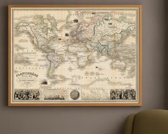
Antique Map of the World | Physical & Political Planisphere with Polar Inset and Expedition Scenes | Fine Print
Sale Price $59.42
Original Price $79.23
Shoppers with similar taste loved these
-
1895 Antique map of THE INDIAN OCEAN. Navigation. 131 years old chart
$16.31
-

Vintage Naval Nautical Charts
$5.00
-
Old Atlantic Ocean Nautical Chart by Mount, 1766: Coasts, Rhumb Lines, Compass Rose
Sale Price $50.13
Original Price $62.67
-

Nautical Planisphere world map poster reproduction by Nicolaus de Caverio 1506
Sale Price $44.78
Original Price $59.70
-
The Mediterranean Sea Map, 1685, Reproduction of a Vintage Map, Old Map of Mediterranean Sea and Ottoman Empire
$18.64
-
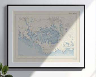
Map of the Gulf of Morbihan, old style (Brittany)
Sale Price $23.07
Original Price $25.63
-

Guadeloupe Island Nautical Chart: 1758 Vintage Map Art Print
$31.20
-
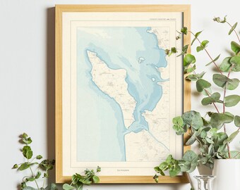
Map of the island of Oléron, old style (Charente-Maritime)
Sale Price $23.07
Original Price $25.63
-
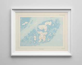
Map of the island of Bréhat, old style (Brittany, Côtes-d'Armor)
Sale Price $23.07
Original Price $25.63
-

Framed Spain and Portugal Vintage Map - Ornate Embellishment Frame with Print
Sale Price $171.75
Original Price $229.00
-
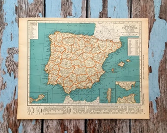
Spain Portugal Antique Map. c1937. 89 Year Old Historical Print Lithograph to Frame.
$45.00
-
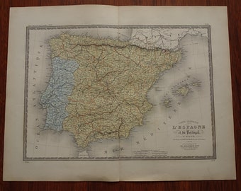
SPAIN old map of Spain and Portugal LARGE beautiful original 1874 hand-colored print Vintage poster Madrid Lisbon Barcelona maps 19x24" big
$110.69


Looking for more? Find it on Etsy