


Price:$40.00+
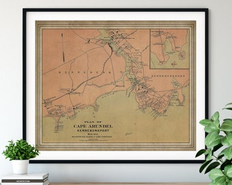
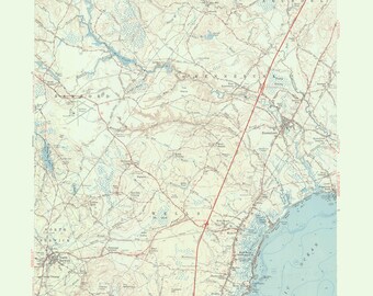
Kennebunkport & Ogunquit 1891 Old Topographic Map USGS Custom Composite Reprint Maine
Your order should arrive by this date if you buy today. To calculate an estimated delivery date you can count on, we look at things like the carrier's latest transit times, the seller's processing time and shipping history, and where the order is shipping to and from.
You can only make an offer when buying a single item
Highlights
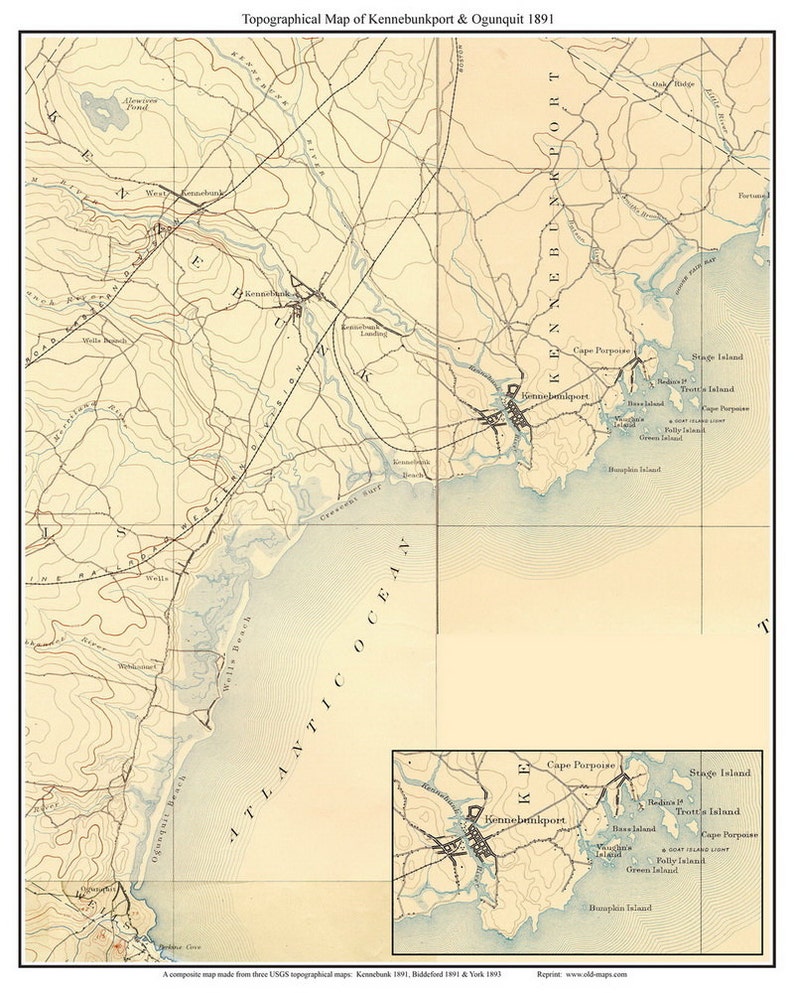
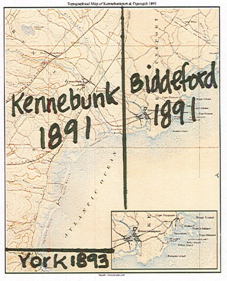
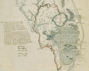
A charming reprint we have made of old USGS topographical maps. This map includes the towns of West Kennebunk, Kennebunk, Cape Porpoise, Wells, and Wells Beach. There is also an inset of Kennebunkport and area islands. This map is a compilation of three USGS quads we have stitched together (Kennebunk 1891, Biddeford 1891 & York 1893). The map shows roads, contours, elevations, buildings, railroads, waterways and other features.
We have added a title and simple border to enhance this map.
Please note that on the enlarged prints, the maps may look slightly blurry up close, but not when you stand back a bit.
Prints are available in in other sizes. "Request Custom Order"
All prints are made on high quality bond paper and use Canon Lumina EX pigment inks.
See also:
https://www.etsy.com/your/shops/Oldmap/tools/listings/query:Kennebunk%20Birds,stats:true/218495711
General Information & Disclaimers -
• Most of our maps are reproductions of old maps. Due to the age of the original maps, many contain mild defects (ink markings, cracks, small holes, etc.) The image you see is a reduced size preview of the digital file we will use to print the map, so any imperfections you see on the product image will appear on the print.
• Map color: no map will look identical to what you see on your computer monitor. Please be aware that the shade will likely be a bit different than what you see.
• Note that prints smaller than the original size may be difficult to read, while the larger print sizes may appear fuzzy when viewed up close.
• Print sizes and margins may vary (especially for the more obscure reprints and town/village map excerpts.)
• Frames are NOT included - plan to purchase one AFTER receiving and measuring your print.
-
Order today to get by Jun 23-29
Your order should arrive by this date if you buy today. To calculate an estimated delivery date you can count on, we look at things like the carrier's latest transit times, the seller's processing time and shipping history, and where the order is shipping to and from.
-
Returns & exchanges not accepted
But please contact me if you have problems with your order
-
Free shipping
-
Ships from: West Chesterfield, NH
There was a problem calculating your shipping. Please try again.
Etsy Purchase Protection
Shop confidently on Etsy knowing if something goes wrong with an order, we've got your back for all eligible purchases —
see program terms

Be the first to review this item

More from this shop
Visit shop-
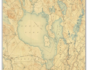
Sebago Lake - ca 1898 Old Topographic Map USGS Custom Composite Reprint - Maine 1
$45.00
-
Keuka Lake - 1903 USGS Old Topographic Map Custom Composite Reprint New York Finger Lakes
$40.00
-
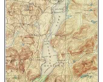
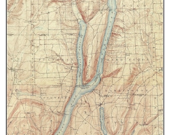
Schroon Lake ca 1900 USGS Old Topographical Map Custom Composite Print New York Eastern Lakes
$33.00
-
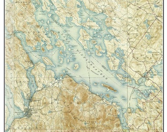
Lake Winnipesaukee ca. 1928 - USGS Old Topographic Map - Custom Composite Reprint New Hampshire
$40.00
-

Map of Ogunquit, Maine (customization and framing options)
$42.00
-
Ogunquit ME Map Wood Serving Tray, Vintage Maine Gift, Wall decor
$78.00
-
1894 Kennebunkport Maine Map Print: Vintage Coastal Art featuring Cape Arundel & Kennebunk
Sale Price $21.00
Original Price $28.00
-
Kennebunk Maine 1891 USGS Map Poster | Restored and Remastered Vintage Map
Sale Price $43.92
Original Price $54.90
-
Kennebunkport Map, Custom Wood Map, Maine Map, Kennebunk Map, Gulf of Maine Map, 3D Wall Art, Contour Map, Beach House Decor, Depth Map
$99.00
-
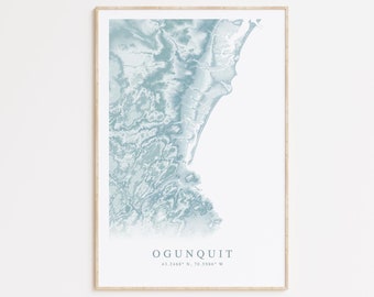
Ogunquit Maine Map Print, Map of Ogunquit Maine, Maine Beach Home Gift, Maine Wall Art, Beach House Decor, Maine Gift, New England Art
$35.00
-
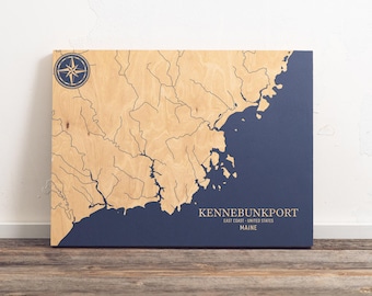
Kennebunkport, Maine Map | Engraved Wood Coastal Chart Wall Art Sign, Beach House Home Decor Nautical Print, Unique Personalized Family Gift
Sale Price $120.00
Original Price $150.00
-
Kennebunk Maine Topographical Map - 1956
$24.95
-

Kennebunk Beach Wood Sign, Coastal Maine Decor, 24"
$56.00
-

Kennebunkport Map Print | Maine Decor | Housewarming Gift | Wedding Welcome Card
$20.00
-
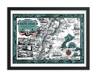
1929 Maine Coast Map Print | York Harbor to Saco Bay, Sea Monster Art
$24.00
-

Kennebunkport Maine Heart Map Art Print, Vintage Style
$9.00
Shoppers with similar taste loved these
-
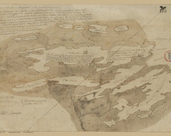
Harpswell, Maine - ca. 1795 Map Reprint Maine Cities Other
$41.00
-
1841 Map of Southern Florida
Sale Price $28.00
Original Price $35.00
-

Portland, Cumberland County, Maine ME 1876 (Reproduction Vintage Bird's-eye-view Map) Available in different size.
$5.45
-
Portland Maine & Casco Bay 1906 Bird's Eye View Map | Fine Art Print
$30.00
-
1906 Casco Bay Maine Birds Eye View Print: Vintage Aerial Map Art
Sale Price $21.00
Original Price $28.00
-
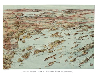
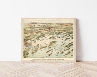
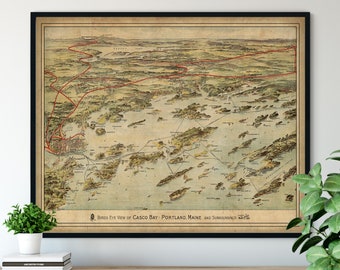
Casco Bay, Portland, Maine and Surroundings 1906 - Bird's Eye View, Aerial Map, Panorama, Vintage, Antique Map, Reproduction, Fine Art
$20.00
-
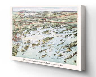
1906 Casco Bay Map - Canvas Wrap Vintage Map of Portland Maine - Bird's Eye View of Casco Bay Portland Maine & Surroundings Wall Art Poster
$251.99
-

Vintage World Map 1787 Mercator Projection | Antique Atlas Wall Art Decor Print
$48.00
-

Great Vintage World Map in 1882 | Vintage World Map
$53.00
-

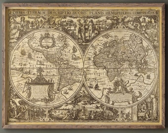
Waldseemüller World Map Print: First Use of "America"
Sale Price $111.93
Original Price $139.92
-
Ancient world map vintage reproduction of the XVII century. Fine art print. Wall art poster
Sale Price $39.19
Original Price $46.09
-

Beautiful Vintage World Map 1898 – Mercator Projection Atlas, Sepia Antique Wall Art Decor Print
$42.00


Looking for more? Find it on Etsy