







Large Vintage Geography School Chart, Illustrated Landscape Map, Greek Educational Wall Art, Pull Down Chart, Statement Wall Decor
Only 1 left and in 1 cart
Price:$236.30
Returns & exchanges accepted
You can only make an offer when buying a single item
Highlights
-
Handpicked by NautilusNostalgia
-
Vintage from before 2007
-
Materials: linen canvas, wooden dowels
-
Width: 54 inchesHeight: 40 inches
-
Gift wrapping available
See details
Gift wrapping by NautilusNostalgia
Gift wrapping by NautilusNostalgia. Please specify the occasion and the message you would like to include in the parcel.
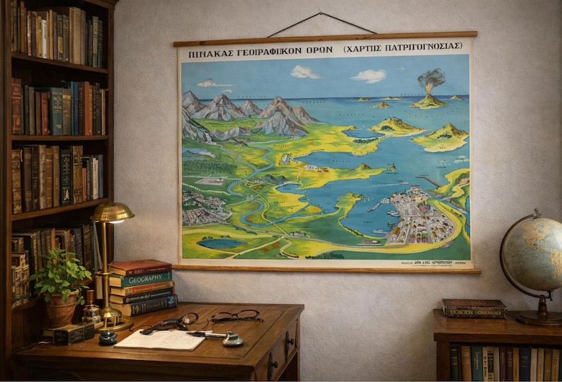
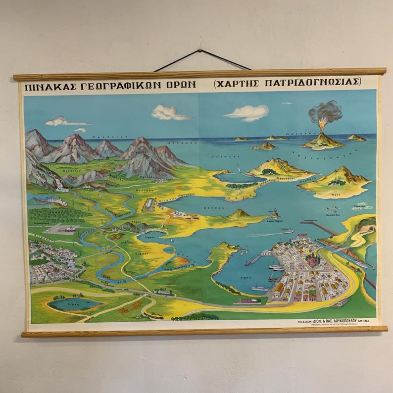
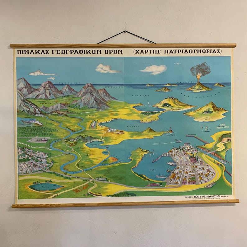
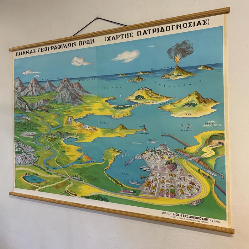
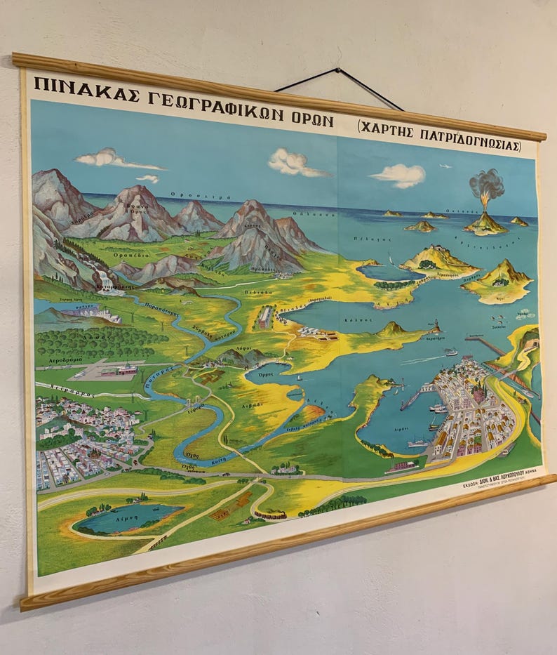
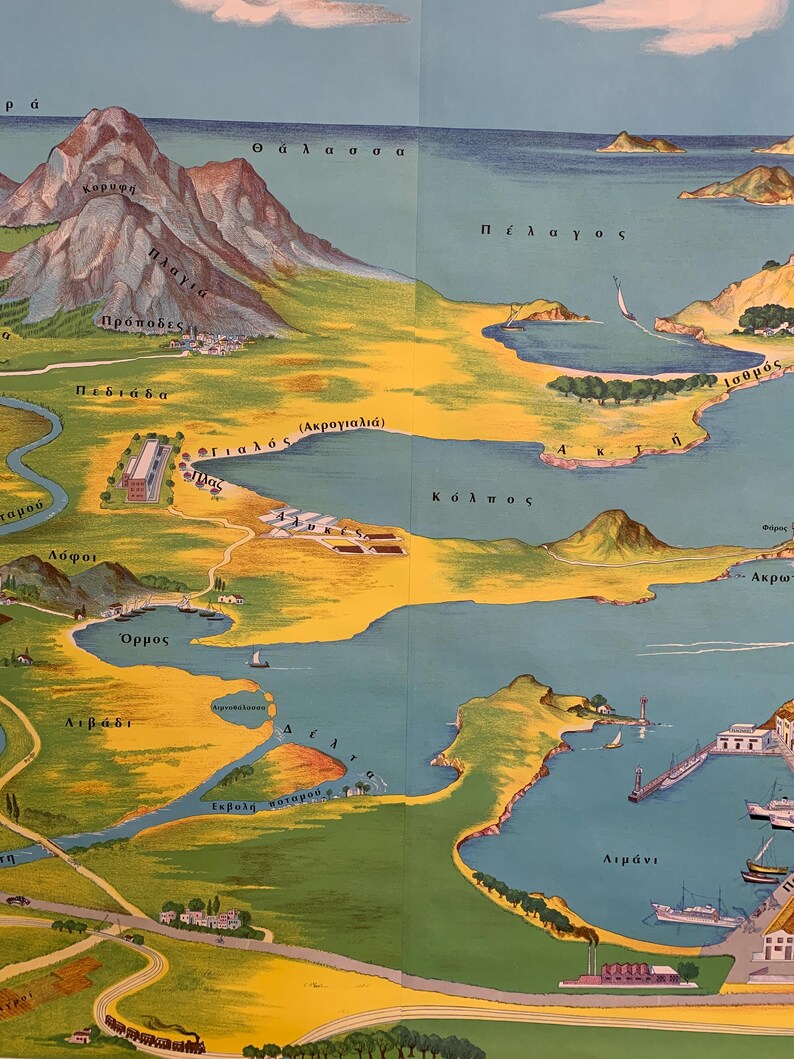
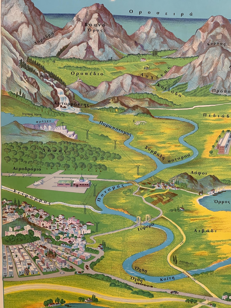
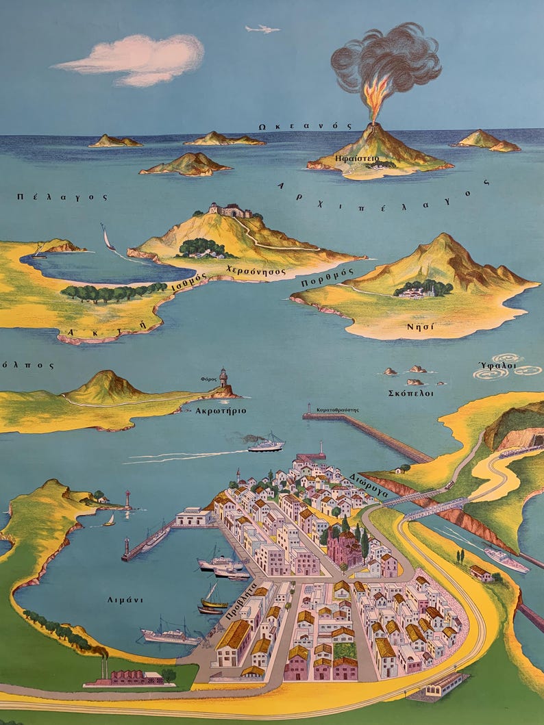
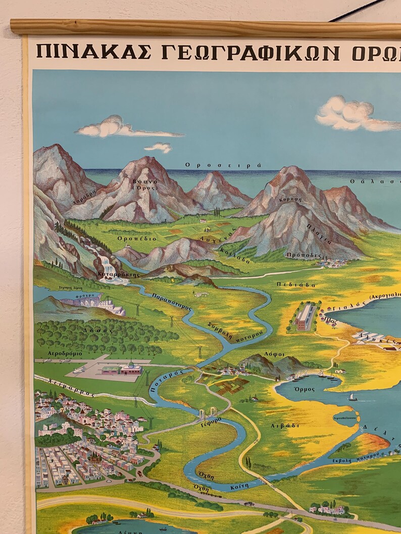
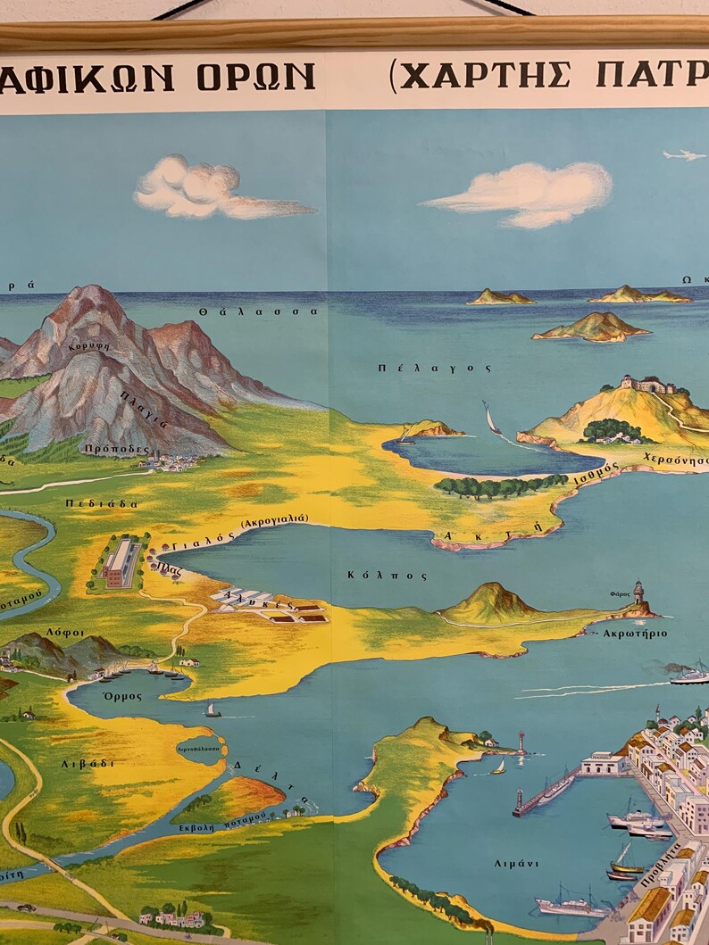
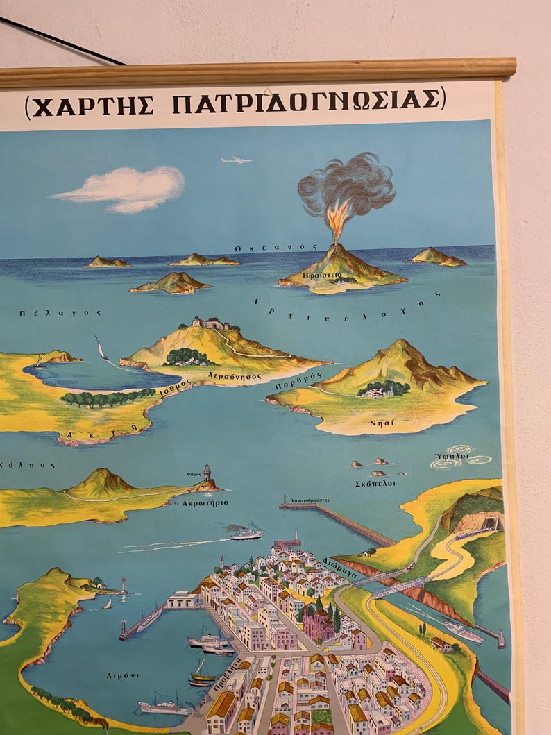
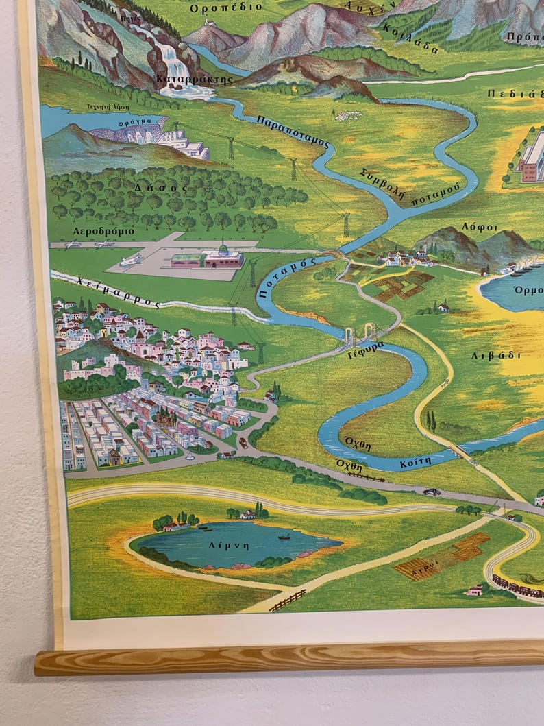
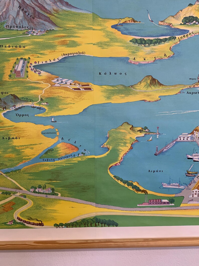
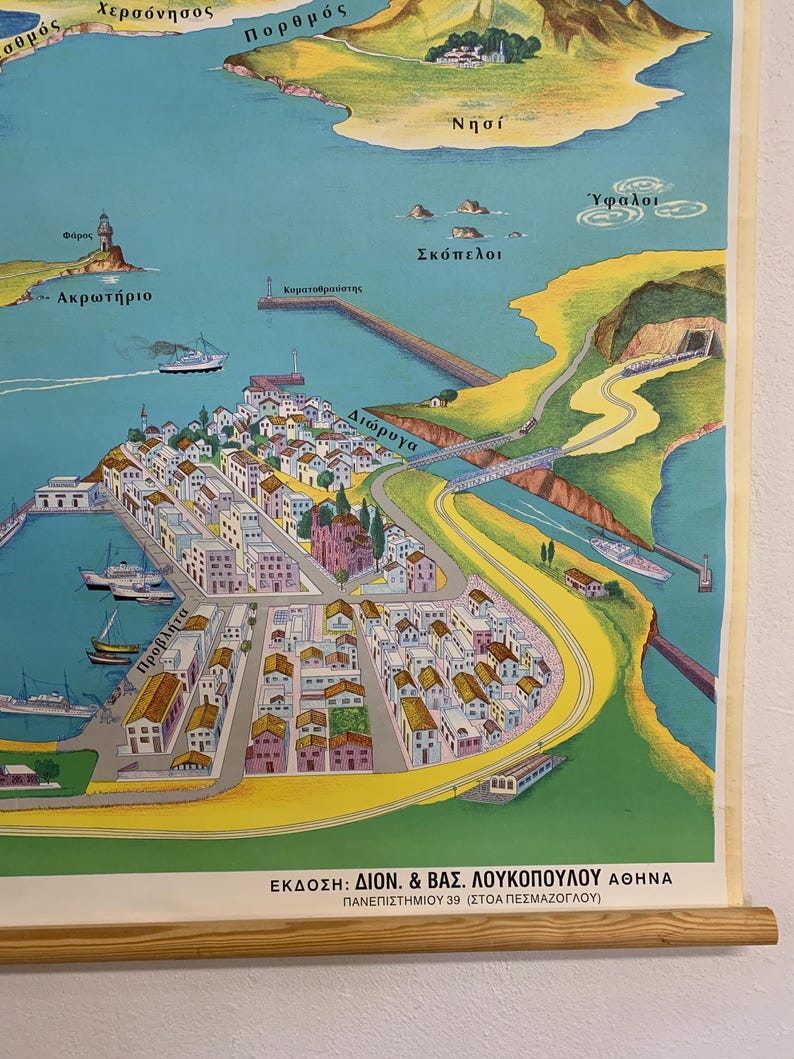
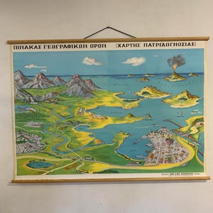
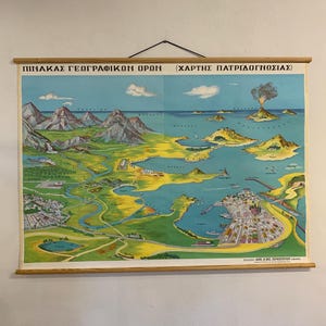
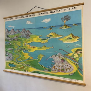
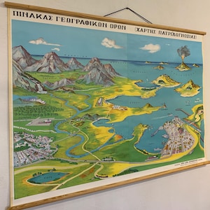
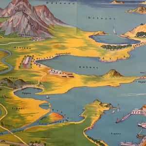
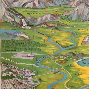
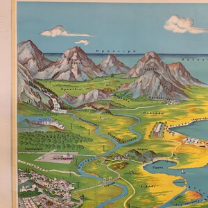
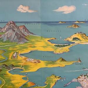
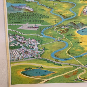
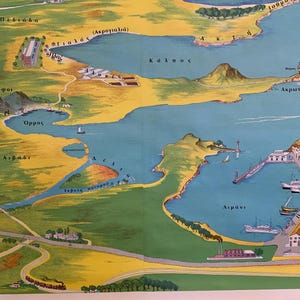
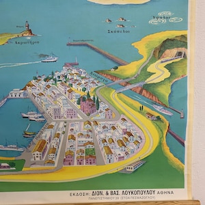
Vintage geography school chart printed in Greece by D. & B. Loukopoulos, Athens, featuring a beautifully illustrated landscape explaining key geographical terms such as mountains, rivers, islands, bays, and coastal formations.
Unlike traditional maps, this piece presents geography through a rich visual scene, making it both educational and highly decorative.
This is a large-scale wall chart that works as a statement piece, ideal for adding character to a study, office, library, or interior with a vintage or dark academia aesthetic.
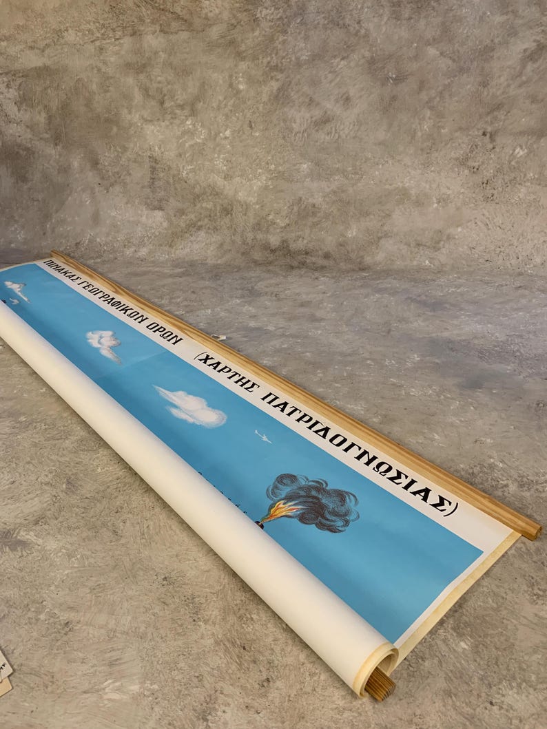
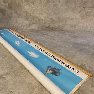
Printed on linen canvas and mounted on wooden dowels, it can be easily displayed or rolled for storage.
✔ PERFECT FOR
• statement wall decor
• study rooms & libraries
• dark academia interiors
• teachers & geography enthusiasts
• unique vintage wall art collectors
✔ DETAILS
• Original vintage school chart
• Greek language
• Illustrated geography scene
• Linen canvas with wooden dowels
• Pull-down wall chart
✔ DIMENSIONS
Height: 100 cm / 40 in
Width: 138 cm / 54 in
This map comes from old bookstore stock acquired from a Greek bookshop that has since closed.
✔ CONDITION
Excellent vintage condition
Great care will be taken in packing to ensure safe arrival.
📦 If you want to buy two items or more, please send us a message, we will recalculate combined shipping costs.
Your purchase will be shipped from Greece via priority airmail.
Please contact us if you would like to upgrade shipping or insure your item.
-Photos are a part of my description. Please examine before purchasing.
-I use 1st priority airmail with a tracking number.
-It will be packaged safely to prevent bending or breaking
-If you have any questions or need more photos please contact me.
To view our main shop: https://www.etsy.com/shop/NautilusNostalgia
Thanks for stopping by!
-
Order today to get by Nov 4-14
Your order should arrive by this date if you buy today. To calculate an estimated delivery date you can count on, we look at things like the carrier's latest transit times, the seller's processing time and shipping history, and where the order is shipping to and from.
-
Returns & exchanges accepted within 14 days
Buyers are responsible for return shipping costs. If the item is not returned in its original condition, the buyer is responsible for any loss in value.
-
Cost to ship: $49.52
-
Ships from: Greece
There was a problem calculating your shipping. Please try again.
Etsy Purchase Protection
Shop confidently on Etsy knowing if something goes wrong with an order, we've got your back for all eligible purchases —
see program terms

Be the first to review this item

Smooth shipping Has a history of shipping on time with tracking.
Speedy replies Has a history of replying to messages quickly.
More from this shop
Visit shop-

The World Pull Down Chart, Political Map of the World, Vintage World Atlas Map, Classroom Map, School Chart, School Map, School Map
$137.02
-
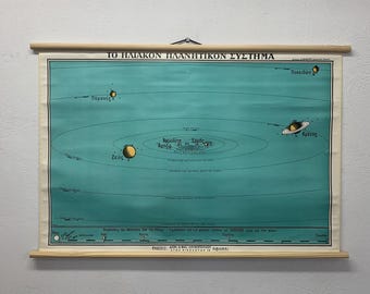
Position and distance of planets pull down chart, The Solar System Chart Print, Vintage Astronomy Pull Down Chart, Science School Chart.
$155.20
-
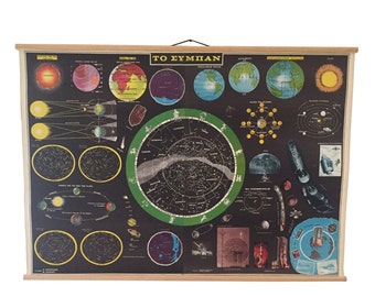
The universe Pull down chart, Vintage Astronomy Poster, Astrology Poster, Astronomical School Chart, Vintage Star Map Wall Chart
$176.17
-

Northern Hemisphere Star Map, Celestial Chart Vintage, Astronomy Pull Down School Chart, Star Map Wall Poster
$139.82
-
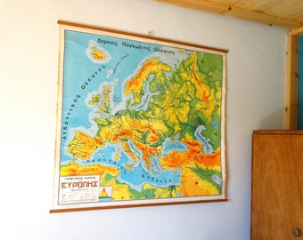
European Chart, Geography School Map, Chart of Europe, Canvas Chart, Pull Down Chart, Large School Map, World Chart, Landscape Map, Chart
$233.03
-
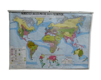
Vintage MDI school map Agriculture and fishing in the world - world map - planisphere // Magic'Puce
$133.99
-
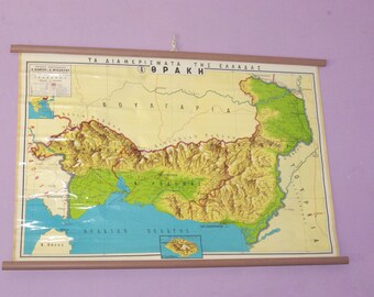
Hellenic Chart, Thrace Chart, School Map, Pull Down Chart, Greek School Map, Greek Wall Decor, Hellas Map, Geography School Chart
$139.82
-
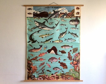
Vintage Sea World School Chart: Greek Fish Pull Down Map
$186.43
-
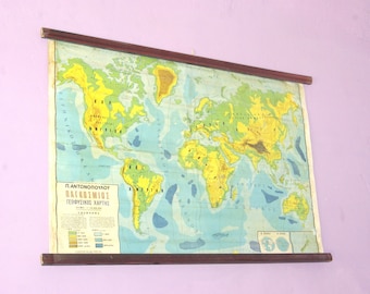
World Atlas Map, Geography School Map, Canvas Chart, Pull Down Chart, Large School Map, World Chart, Classroom Chart, Atlas Tapestry
$180.60
-
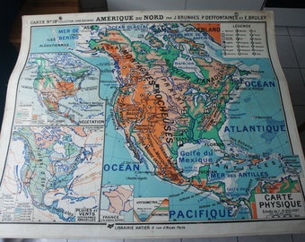
Old SCHOOL MAP Hatier 19 Jean Brunhes Deffontaines North AMERICA
$209.73
-
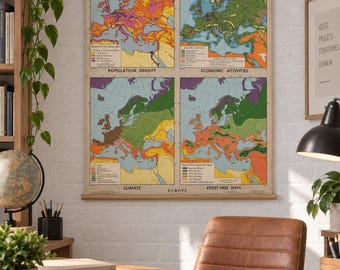
1968 Denoyer-Geppert Pull Down School Map of EUROPE / 1968 Denoyer-Geppert Wall Map of EUROPE
Sale Price $173.25
Original Price $231.00
-
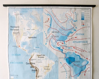
Original Large Double-Sided Vintage French Mid Century Educational School Wall Chart USA United States of AMERICA MAP Beautiful Rare
$188.04
-
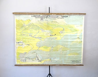
Chart of Geographical Terms, Old Canvas Chart, Pull Down Chart, Greek Chart, School Map, Classroom Chart, Educational Map, Chart Tapestry
$198.08
-

Original 1950s Vintage Mid Century Dutch Educational School Wall Chart GREAT BRITAIN Ireland MAP Beautiful Bos Geography
$174.11
-

The World Physical - Pull Down Wall Chart
$279.00
-
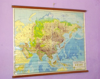
Asian Map, Geography School Map, Canvas Chart, Pull Down Chart, Large School Map, World Chart, Classroom Chart, Landscape Map, World Map
$186.43
Shoppers with similar taste loved these
-
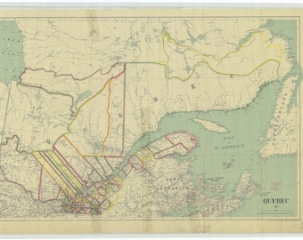
Quebec Map - 1911
$24.95
-

Northern Hemisphere - Historical World Map 1945
$24.95
-
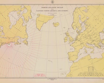
North Atlantic Ocean Map 1918
$24.95
-
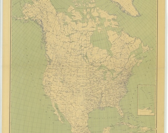
North America Map 1912
$24.95
-
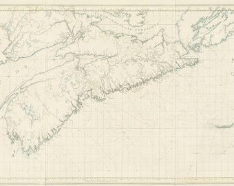
Nova Scotia Map - 1773
$79.95
-
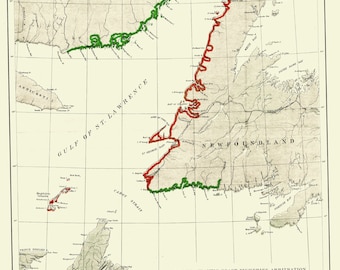
North Atlantic Fisheries Map
$24.95
-
Canada - North Atlantic Map - 1776
$21.95
-
Atlantic Voyages Map - 1885
$24.95
-
Cape Breton Island Map
$24.95
-
Bay of Fundy Map - 1711
$29.95
-
Grand Manan Island Map
$24.95
-
North America Map 1771 (square)
$34.95


