


Rare find
Price:$189.87
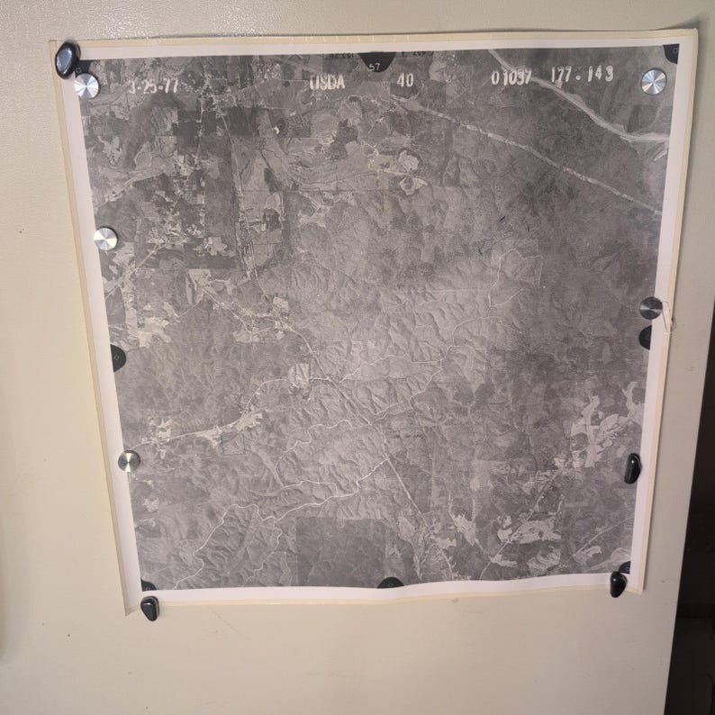
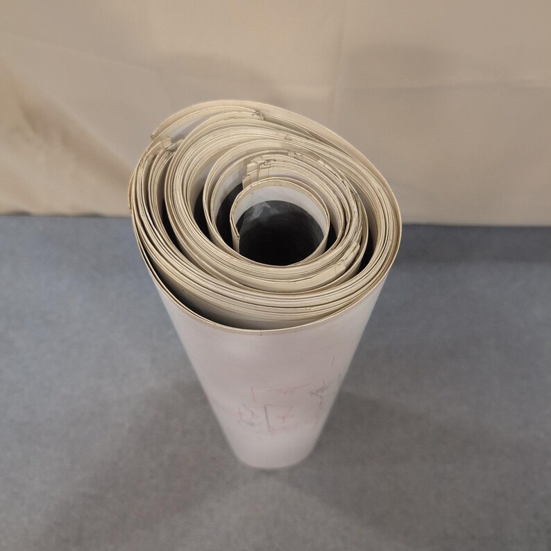
Vintage 1977 USDA Aerial Survey Photo Coosa County Alabama Series of 27 Maps
Your order should arrive by this date if you buy today. To calculate an estimated delivery date you can count on, we look at things like the carrier's latest transit times, the seller's processing time and shipping history, and where the order is shipping to and from.
Returns & exchanges accepted
You can only make an offer when buying a single item
Highlights
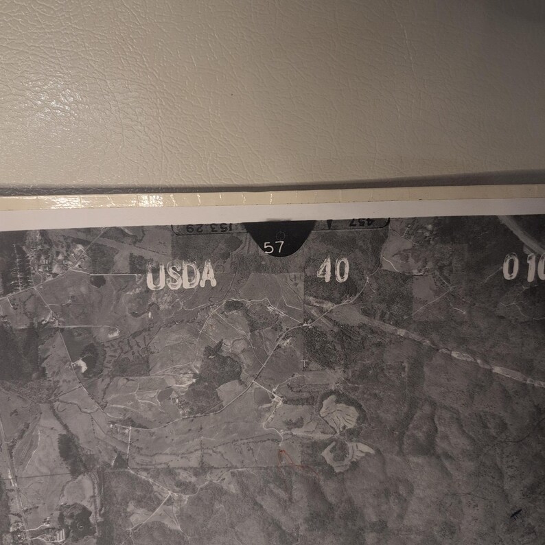
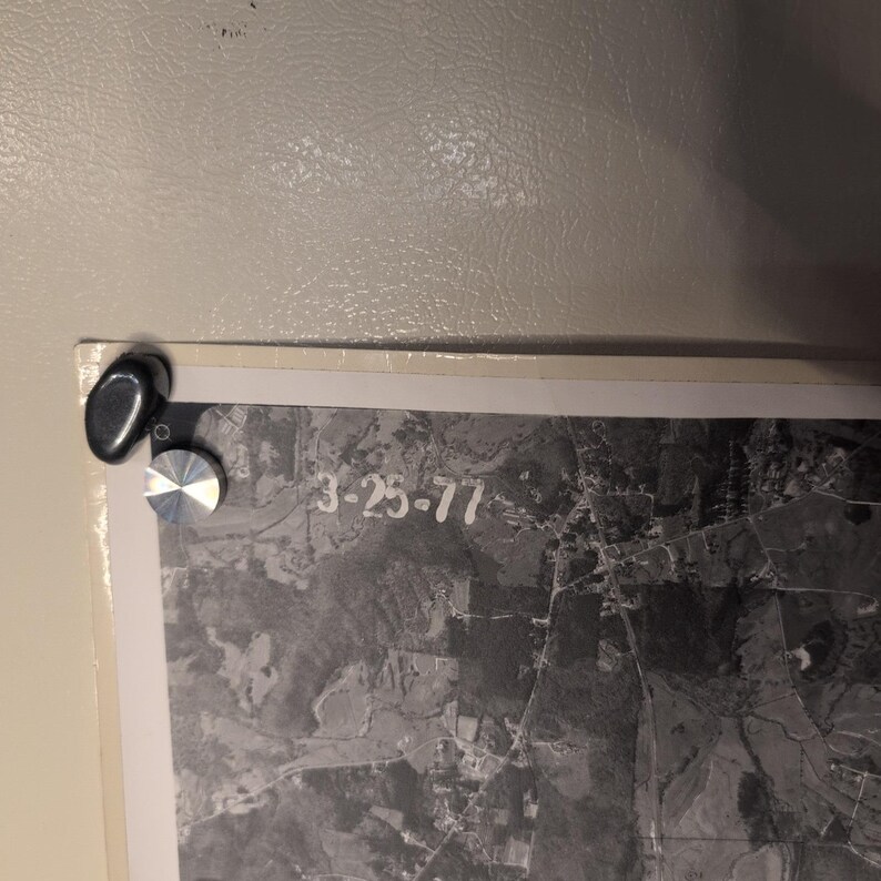
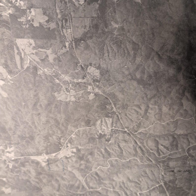
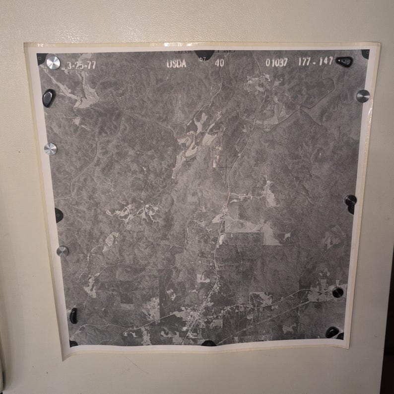
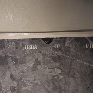
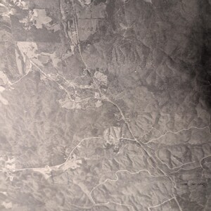
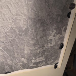
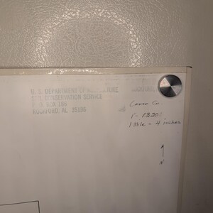
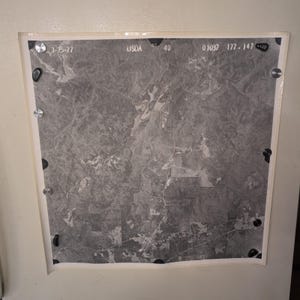
This vintage aerial survey photograph features a high-altitude view of Coosa County, Alabama, captured for the U.S. Department of Agriculture Soil Conservation Service. Dated March 25, 1977, the black and white image provides a detailed historical record of the regional landscape, including topography, vegetation, and rural infrastructure.
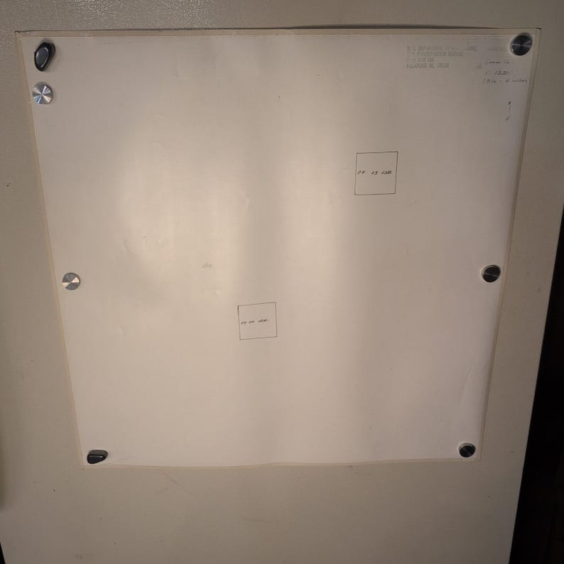
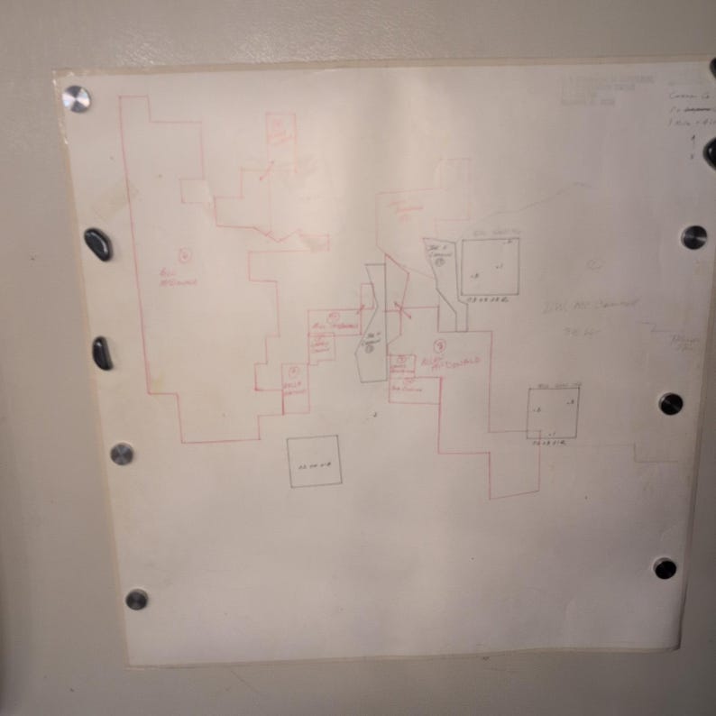
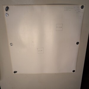
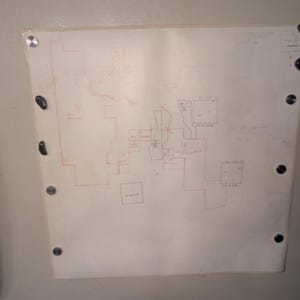
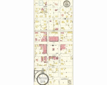
27 Maps total, shown are representative examples. Each map is 24" × 24" with reinforced edges. Can be tiled together. Reverse side has hand marked properties of significance notated.
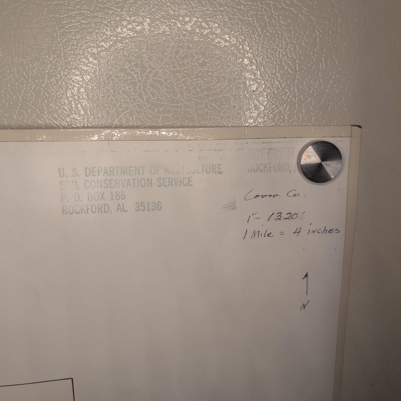
- Authentic USDA Soil Conservation Service aerial survey print
- Location: Coosa County, Alabama (Rockford area)
- Date: March 25, 1977
- Scale: 1 inch = 1320 feet (1 mile = 4 inches)
- Condition: VG
- Features original identification stamps and handwritten notations on the reverse
Secure packaging and fast shipping.
Keywords: vintage map, aerial photography, coosa county alabama, usda history, cartography, 1970s decor, soil conservation, topography, historical documents, black and white print
Check out all of our similar items!
-
Order today to get by Jun 22-25
Your order should arrive by this date if you buy today. To calculate an estimated delivery date you can count on, we look at things like the carrier's latest transit times, the seller's processing time and shipping history, and where the order is shipping to and from.
-
Returns & exchanges accepted within 30 days
Buyers are responsible for return shipping costs. If the item is not returned in its original condition, the buyer is responsible for any loss in value.
-
Cost to ship: $17.92
-
Ships from: United States
There was a problem calculating your shipping. Please try again.
Etsy Purchase Protection
Shop confidently on Etsy knowing if something goes wrong with an order, we've got your back for all eligible purchases —
see program terms
Be the first to review this item
Smooth shipping Has a history of shipping on time with tracking.
Rave reviews Average review rating is 4.8 or higher.
More from this shop
Visit shop-
Handmade Virgin Mary & Child Icon Hodegetria Style Wood Plaque Egypt San Mark
$45.87
-

Sonia Torres Butterfly White Orchids Dendrobium Artist Print Signed Limited Ed
$39.87
-
Sonia Torres Limited Edition, Numbered, Signed White Tiger Artist's Print
$39.87
-

Michael Moorcock's Elric Comic Book Issue #1 Roy Thomas P. Craig Russell
$5.87
-
Selma, Alabama in 1887 - Bird's Eye View, Aerial, Panorama, Vintage, Antique Map, Reproduction, Giclée,Fine Art, Wall Map, History
$20.00
-
Anniston, Alabama in 1887 - Bird's Eye View Map, Aerial, Panorama, Vintage, Antique, Reproduction, Giclée, Fine Art, Wall Map, History
$20.00
-
1911 Map of the State of Alabama
Sale Price $15.20
Original Price $19.00
-
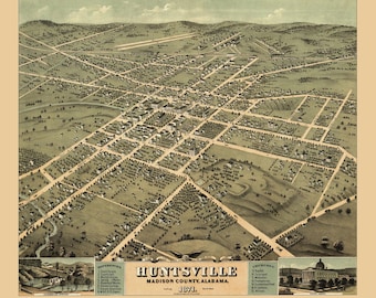
Huntsville, Alabama in 1871 - Bird's Eye View Map, Aerial Map, Panorama, Vintage Map, Antique, Reproduction, Giclée, Fine Art, History
$20.00
-
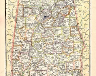
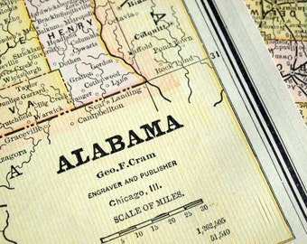
Alabama Antique Map. c1937. 89 Year Old Historical Print Lithograph to Frame.
$20.00
-
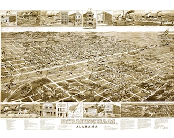
Birmingham, Alabama in 1885 - Bird's Eye View Map, Aerial, Panorama, Vintage, Antique, Reproduction, Giclée, Fine Art, Wall Map, History
$20.00
-
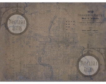
Chambers County Alabama Indian Territory Map 1832 Antique Historic Vintage Photo Wall Decor Art Lake Martin Reprint FREE SHIPPING!
$29.95
-
Athens, Alabama 1910 Antique Vintage Historic Map Reprint FREE SHIPPING!
$69.95
-
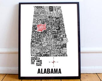
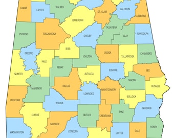
Customizable - Alabama Counties Map 11x14 print
$32.00
-
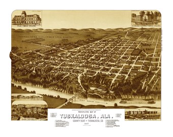
Tuscaloosa, Alabama in 1887 - Bird's Eye View Map, Aerial, Panorama, Vintage, Antique, Reproduction, Giclée, Fine Art, Wall Map, History
$20.00
-
24x36in Poster Alabama County Map
$24.99
-
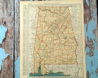
Antique Map of Alabama - 1888 Alabama Map
$20.00
Shoppers with similar taste loved these
-

Waldseemüller World Map Print: First Use of "America"
Sale Price $111.76
Original Price $139.70
-
Vintage World Map 1787 Mercator Projection | Antique Atlas Wall Art Decor Print
$48.00
-
Ancient world map vintage reproduction of the XVII century. Fine art print. Wall art poster
$46.02
-
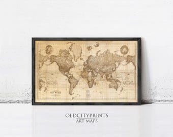
Beautiful Vintage World Map 1898 – Mercator Projection Atlas, Sepia Antique Wall Art Decor Print
$42.00
-

Great Vintage World Map in 1882 | Vintage World Map
$53.00
-
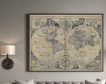
World Map Historic Old World Map 1626 Old Antique BOHO map Decor Style World Map Fine Art Print Large Old world Wall map home gift
Sale Price $16.06
Original Price $22.00
-
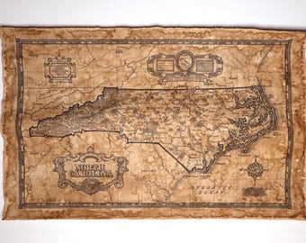
Aged North Carolina Map - Signed NC Art (11x17 or 13x19, Roll-Up or Fold-Up)
$30.00
-
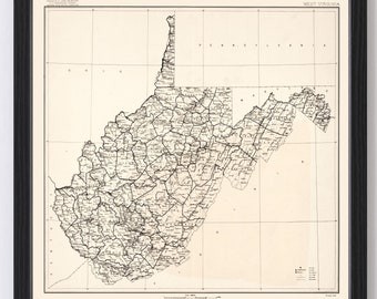
West Virginia Map 1916 - Old Map of West Virginia Art Vintage Print Framed Wall Art Canvas Portrait WV History Genealogy Farmhouse Décor
$54.99
-

Vintage West Virginia Map Print: 1920s Roads, Framed Canvas Art
$29.00
-

1917 West Virginia Railroad Map Print, Vintage Style Wall Art
$43.99
-
Vintage North Carolina Map (1859) State and County Atlas Poster
$19.00
-

Vintage North Carolina Map Art Print: Detailed Wall Decor
$29.00

