


Mount Rainier Terrain Bundle | All 3 Sizes | STL Svg DXF | CNC Carving Files | Washington | Digital Download
Item highlights
Seller's description
Mount Rainier. 14,410 feet. All three sizes. One download.
The complete bundle delivers the 10×10, 12×12, and 14×14 terrain files in a single purchase — every format, every size, ready for whatever the project demands. Run the size that fits your stock. Scale up for a statement piece. Keep all three on hand.
At $49.99, the full set at a consolidated price.
Data source: USGS 3DEP 1/3 arc-second elevation program. The same dataset used in geological survey and cartographic production.
——————————————————
📦 WHAT'S INCLUDED
——————————————————
All three sizes — 10×10, 12×12, and 14×14 — each containing:
STL — CNC routing, 3D printing, milling
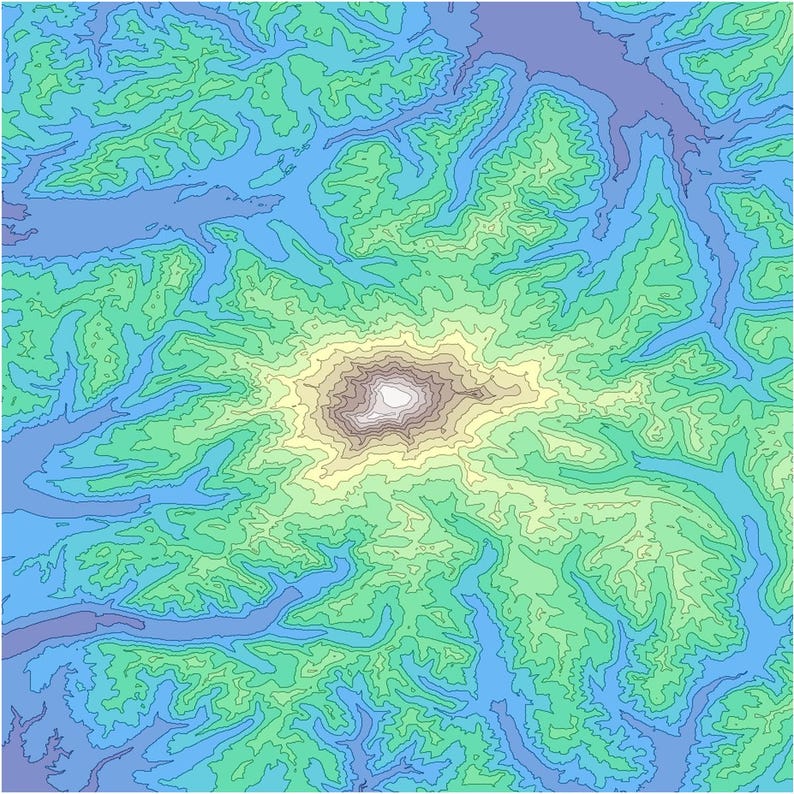
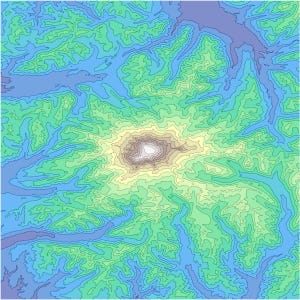
SVG — Laser cutting, contour layer work
DXF — CAD, Fusion 360, VCarve, Aspire
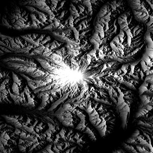
16-bit grayscale heightmap PNG — VCarve Pro, Aspire, Carveco
README — Z-axis scaling reference
12 files total across all formats and sizes.
——————————————————
⚙️ Z-AXIS SCALING
——————————————————
Unit-normalized Z geometry. Set model Z equal to your stock thickness. Summit aligns to stock surface automatically. No baked-in depth — scales to any material.
3/4" stock → Z = 0.75"
1" stock → Z = 1.0"
1.5" stock → Z = 1.5"
2" stock → Z = 2.0"
Unlock XYZ aspect ratio before scaling. Z adjusts independently of XY.
Full reference in included README.
——————————————————
✅ COMPATIBLE WITH
——————————————————
Easel — X-Carve, Shapeoko
VCarve Pro / Aspire / Carveco
Fusion 360
PrusaSlicer / Bambu Studio
Any STL or DXF-compatible CAM software
——————————————————
📐 MESH SPECS (ALL SIZES)
——————————————————
512×512 mesh resolution per size
1,048,572 triangulated faces per size
Manifold, watertight geometry
10×10 → 254×254mm
12×12 → 304.8×304.8mm
14×14 → 355.6×355.6mm
——————————————————
🏔️ ABOUT THE TERRAIN
——————————————————
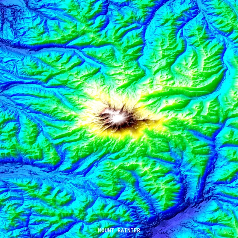
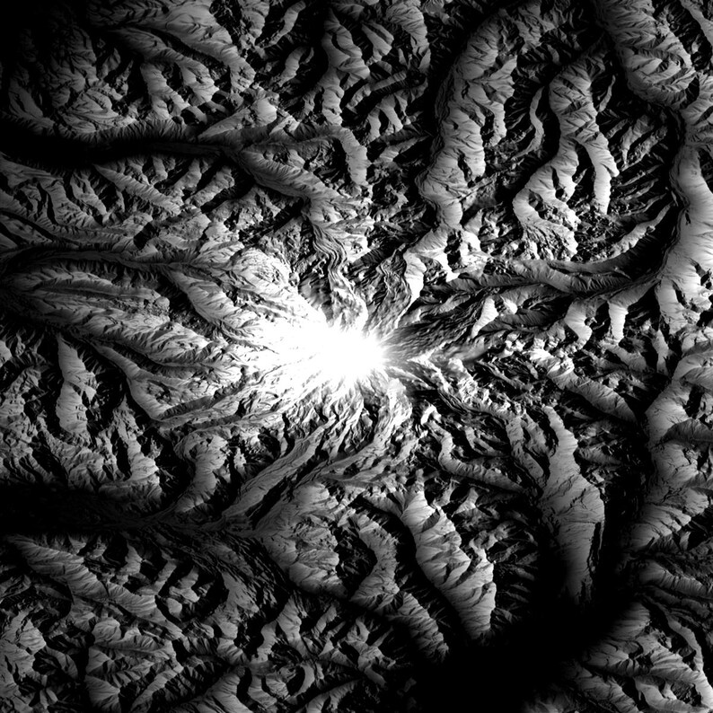
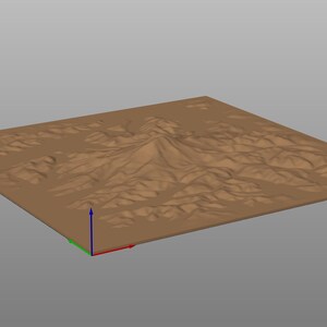
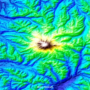
Mount Rainier — 14,410 ft (4,392 m). Washington State's highest peak. The terrain captures Rainier's full radial drainage network, Paradise and Emmons glacier fields, Liberty Ridge, and the summit crater dome — faithful to the USGS source data at every scale.
——————————————————
📬 DELIVERY
——————————————————
Instant digital download. Single ZIP archive containing all three size variants delivered immediately after purchase.
Refined N Rugged — Built for the Carve
If something goes wrong with an order, we've got your back for all eligible purchases. View program terms
Price:$17.99
You can only make an offer when buying a single item
Delivery
Instant download
Your files will be available to download once payment is confirmed. Here's how.
Instant download items don't accept returns, exchanges or cancellations. Please contact the seller about any problems with your order.
Seller's description
Specifications
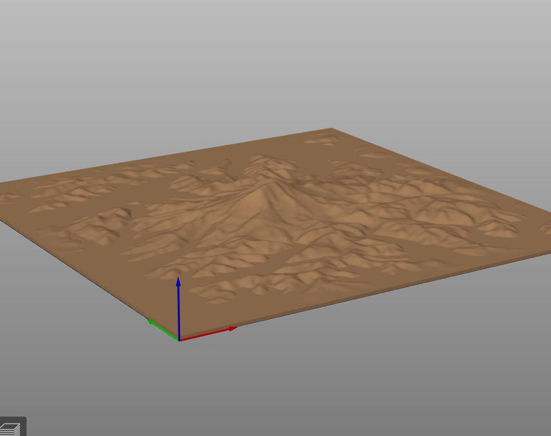
Mount Rainier. 14,410 feet. All three sizes. One download.
The complete bundle delivers the 10×10, 12×12, and 14×14 terrain files in a single purchase — every format, every size, ready for whatever the project demands. Run the size that fits your stock. Scale up for a statement piece. Keep all three on hand.
At $49.99, the full set at a consolidated price.
Data source: USGS 3DEP 1/3 arc-second elevation program. The same dataset used in geological survey and cartographic production.
——————————————————
📦 WHAT'S INCLUDED
——————————————————
All three sizes — 10×10, 12×12, and 14×14 — each containing:
STL — CNC routing, 3D printing, milling
SVG — Laser cutting, contour layer work
DXF — CAD, Fusion 360, VCarve, Aspire
16-bit grayscale heightmap PNG — VCarve Pro, Aspire, Carveco
README — Z-axis scaling reference
12 files total across all formats and sizes.
——————————————————
⚙️ Z-AXIS SCALING
——————————————————
Unit-normalized Z geometry. Set model Z equal to your stock thickness. Summit aligns to stock surface automatically. No baked-in depth — scales to any material.
3/4" stock → Z = 0.75"
1" stock → Z = 1.0"
1.5" stock → Z = 1.5"
2" stock → Z = 2.0"
Unlock XYZ aspect ratio before scaling. Z adjusts independently of XY.
Full reference in included README.
——————————————————
✅ COMPATIBLE WITH
——————————————————
Easel — X-Carve, Shapeoko
VCarve Pro / Aspire / Carveco
Fusion 360
PrusaSlicer / Bambu Studio
Any STL or DXF-compatible CAM software
——————————————————
📐 MESH SPECS (ALL SIZES)
——————————————————
512×512 mesh resolution per size
1,048,572 triangulated faces per size
Manifold, watertight geometry
10×10 → 254×254mm
12×12 → 304.8×304.8mm
14×14 → 355.6×355.6mm
——————————————————
🏔️ ABOUT THE TERRAIN
——————————————————
Mount Rainier — 14,410 ft (4,392 m). Washington State's highest peak. The terrain captures Rainier's full radial drainage network, Paradise and Emmons glacier fields, Liberty Ridge, and the summit crater dome — faithful to the USGS source data at every scale.
——————————————————
📬 DELIVERY
——————————————————
Instant digital download. Single ZIP archive containing all three size variants delivered immediately after purchase.
Refined N Rugged — Built for the Carve
-
Designed by
-
Item typeDigital download
-
Digital file type(s)3 ZIP
If something goes wrong with an order, we've got your back on all eligible purchases. View program terms
Meet your seller

More from this shop
-
Digital download
Denali 14×14 Inch Terrain Carving Files | CNC Router | Stl Svg Dxf | Alaska
$14.99
-
Digital download
Mount St. Helens Terrain Files 12x12 | STL Svg DXF | CNC Carving 3D Print Laser Cut | Washington Volcano
$12.99
-
Digital download
Denali Terrain Bundle | All 3 Sizes | CNC Router | Stl Svg Dxf | Alaska
$17.99
-
Digital download
Grand Teton 12×12 Inch Terrain Carving Files | CNC Router | Stl Svg Dxf | Wyoming
$12.99
-
Digital download
Pikes Peak 10×10 Inch Terrain Carving Files | CNC Router | Stl Svg Dxf | Colorado
$9.99
-
Digital download
Pikes Peak Terrain Bundle | All 3 Sizes | CNC Router | Stl Svg Dxf | Colorado
$17.99
-

Digital download
North Cascades Topographic Model: CNC & 3D Printing STL File (Digital Download)
$15.00
-
Digital download
Glacier National Park Terrain Map STL | CNC Carving File, Wood Relief Art, 3D Printing Ready
$10.95
-
Digital download
Bhutan HD Topographic Terrain 3D model STL Map Model for CNC Milling and Printing
$14.99
-
Digital download
Washington Terrain Map STL | CNC Carving File, Wood Relief Art, 3D Printing Ready
$10.95
-

Digital download
Detailed topographic model Arizona Topography STL Files - Perfect for CNC and 3D Printing – CNC, 3D Printing, Relief Map
$17.50
-
Digital download
Hawaii / Big Island Topography: 3D digital (.stl) models Value Pack
$10.00
-

Digital download
Detailed topographic model Nevada Topography STL Files - Perfect for CNC and 3D Printing – CNC, 3D Printing, Relief Map
$17.50
-
Digital download
Washington State Topographic Terrain 3D model STL Map Model for CNC Milling and Printing
$14.50
-
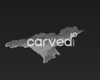
Digital download
Georgia HD Topographic Terrain 3D model STL Map Model for CNC Milling and Printing
$14.99
-
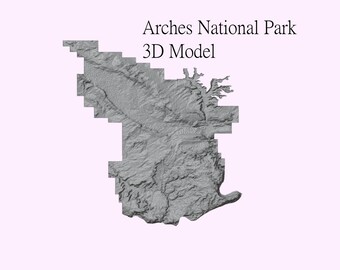
Digital download
Arches National Park - 3D Printer and CNC STL File
$10.00
-

Digital download
State of Hawaii 3d topographic model for CNC Carving and 3d Printing
$15.99
-
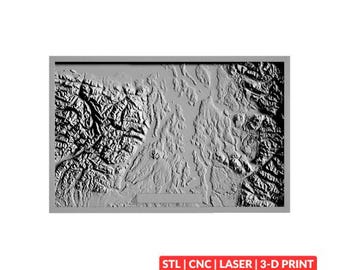
Digital download
Olympia National Park Terrain Map (Puget Sound) STL | CNC Carving File, Wood Relief Art, 3D Printing Ready
$10.95
Disclaimer: Etsy assumes no responsibility for the accuracy, labeling, or content of sellers' listings and products. Electrical or electronic products may pose a risk of fire or electrocution. Vintage, handmade, refurbished, or modified electrical or electronic products may not meet current safety standards and may not be in safe working order. Inspect carefully before use and message the seller if you have concerns relating to the product. Do not use a vintage electrical or electronic item if its safety cannot be verified. To reduce the risk of fire, never leave vintage electrical or electronic products plugged in unattended. See Etsy's Terms of Use for more information.
Shoppers with similar taste loved these
-

Iceland - Geology
$43.00
-
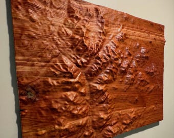
Custom 3D Wooden Topographical Maps/Wall Art/CNC Modeling
$35.00
-

Washington Map, Washington state Map Print, map artwork, Washington landscape, landscape, geology art, topographic art, terrain map, WA map
$44.95
-

Scotland Map, Elevation Map Print, map artwork, Scotland landscape, geology art, topographic art, terrain map, geological map, map art
$44.95
-

Iceland Art Print , Iceland Map, Wall Art Iceland, Topographic Map of Iceland, Wooden Style Iceland Map, Iceland Decor, Modern Map Art
$30.00
-

Custom 3D wood topographical map. Anywhere in the world. Customizable.
$100.00
-

Custom Wooden 3D Topographic Map: Personalized Relief Art
$219.99
-

Iceland Map, Elevation Map Print, map artwork, Iceland landscape, geology art, topographic art, terrain map, geological map, map art,Iceland
$44.95
-

Custom 3D-Printed Topographical Maps of ANYWHERE
$50.00
-
Custom 3D Topographic Map Gift | Personalized Location Keepsake for Wedding, Engagement, Anniversary or Hiking
$76.00
-

The Five Remembrances , Thich Nhat Hanh ,Gold leaf Echizen washi Print, Zen , Wall Art, Gift,
$20.00
-

The Pacific Northwest (24 in x 20 in)
$36.00


