





Oahu Surf Map Art Print, Framed or Unframed Vintage Hawaii Surf Breaks Poster
Item highlights
Seller's description
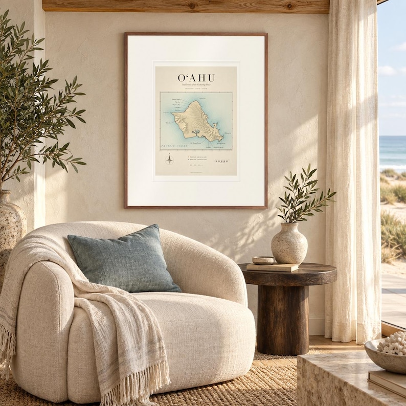
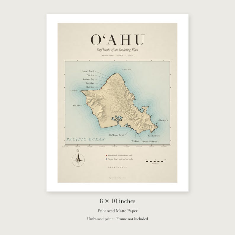
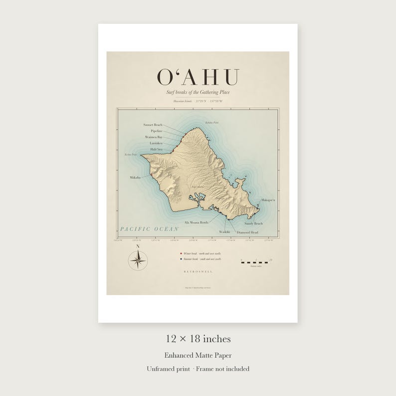
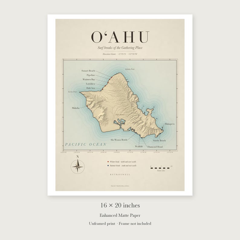
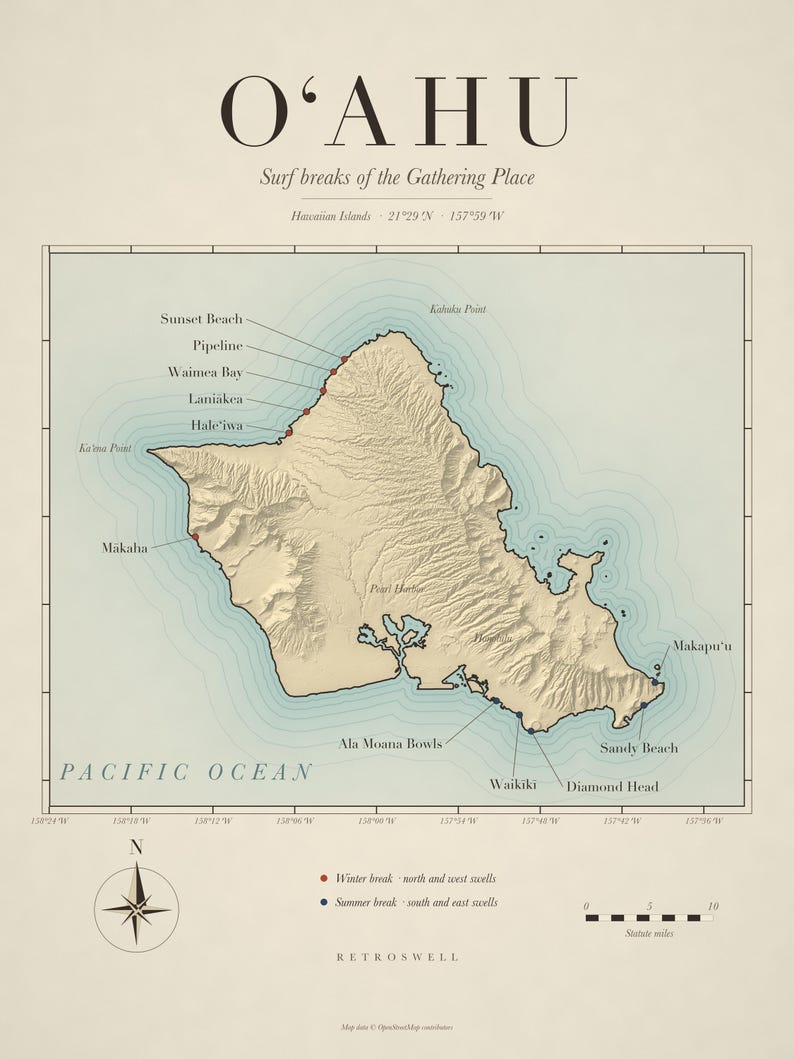
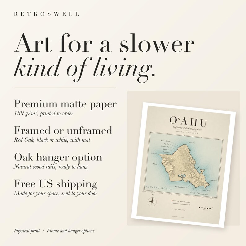
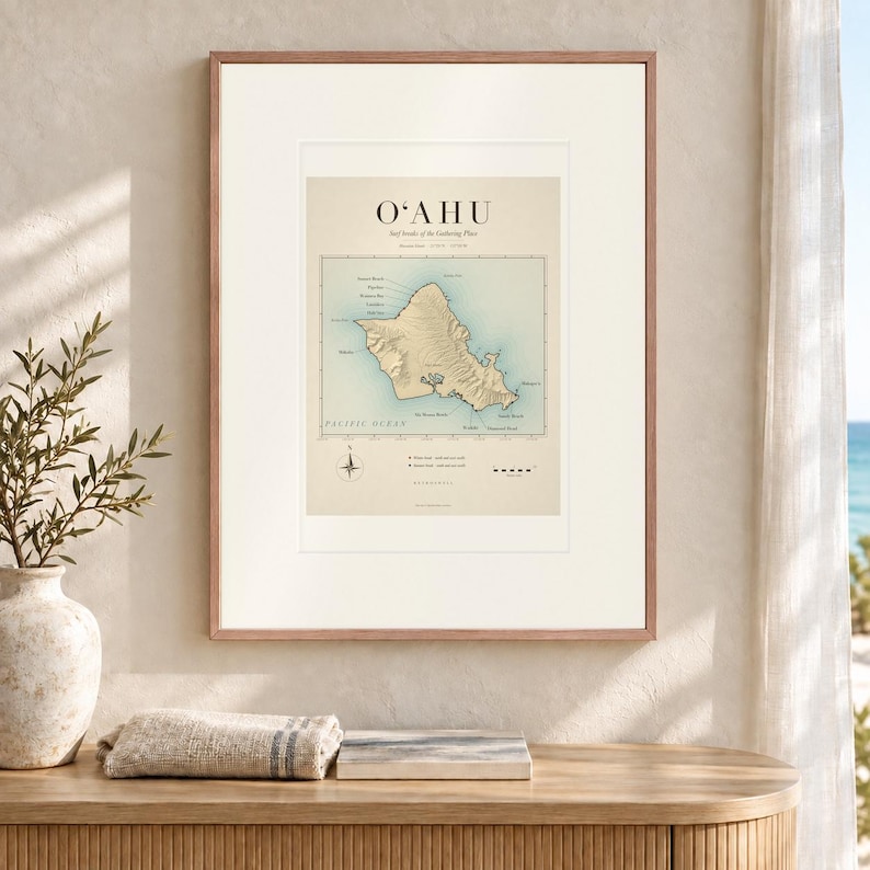
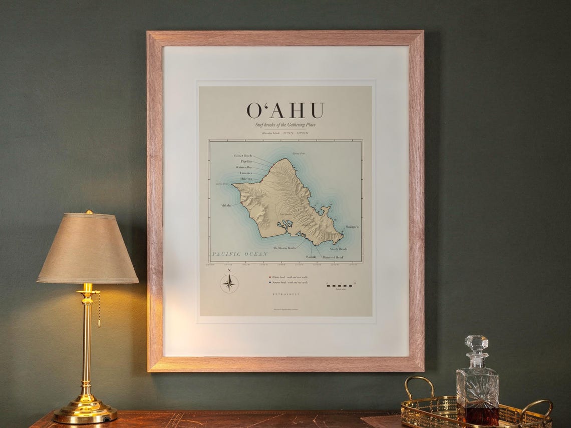
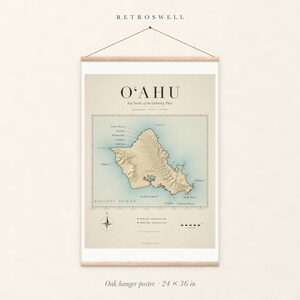
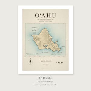
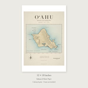
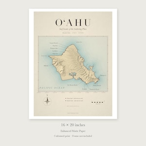
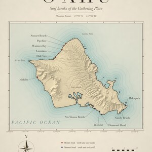
A vintage-style chart of Oʻahu’s surf breaks, drawn from real coastline and elevation data. The North Shore’s Haleʻiwa, Laniākea, Waimea Bay, Pipeline and Sunset Beach run along the top, Mākaha holds the west side, and Ala Moana Bowls, Waikīkī, Diamond Head, Sandy Beach and Makapuʻu line the south and east. Winter breaks are marked in red and summer breaks in navy, with the island’s mountains in soft relief, a compass rose and a scale in miles.
The aged paper tones are part of the printed design. This is a decorative art print, not a navigational chart.
Prefer to print it yourself? This design is also available as an instant digital download. Find it in the “Digital” sections of our shop.
CHOOSE YOUR FORMAT
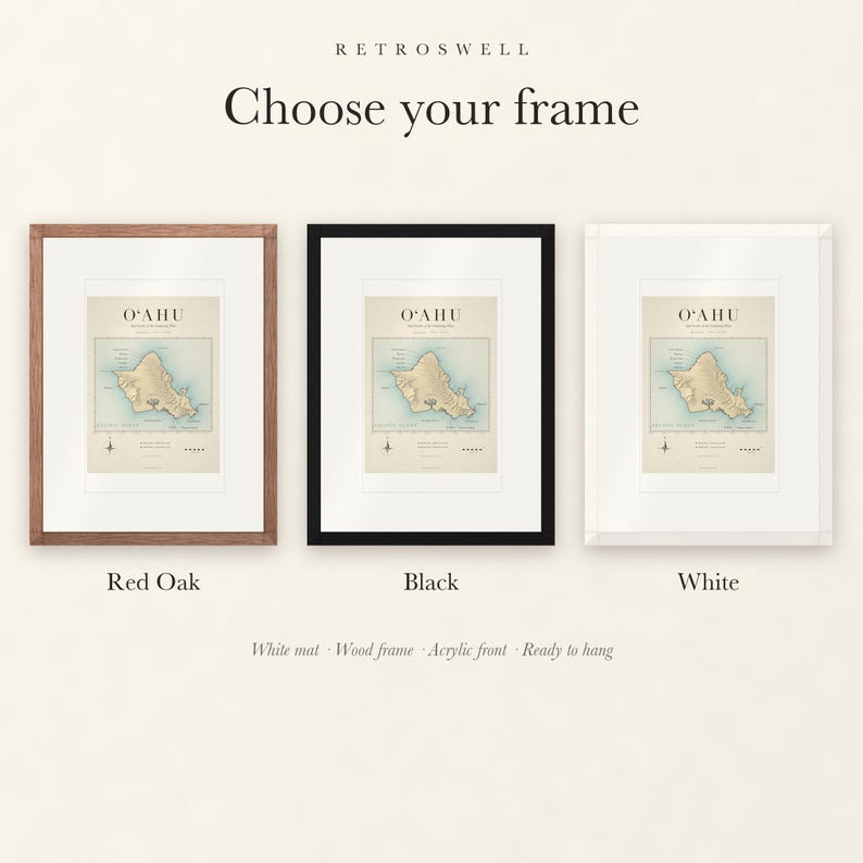
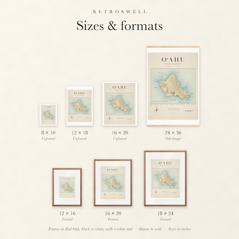
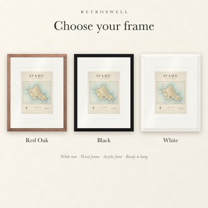
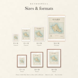
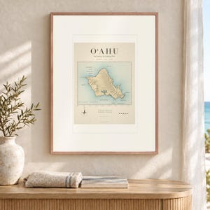
• Framed with a white mat, in Red Oak, black or white wood: 12 × 16, 16 × 20 or 18 × 24 inches. Acrylic front and hanging hardware included, ready to hang.
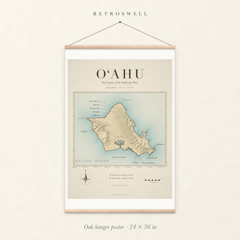
• Oak hanger poster: 24 × 36 inches, held top and bottom by natural wood rails with magnets and a matching hanging cord.
• Unframed print: 8 × 10, 12 × 18 or 16 × 20 inches, with a white paper border.
Framed sizes refer to the print inside the frame. The complete artwork is always shown without cropping; see the Sizes & formats photo for every option shown to scale.
Every piece is an art reproduction, printed to order on 189 g/m² enhanced matte paper by our production partner, Printful. Colors may vary slightly between screens and the finished print. No digital download is included.
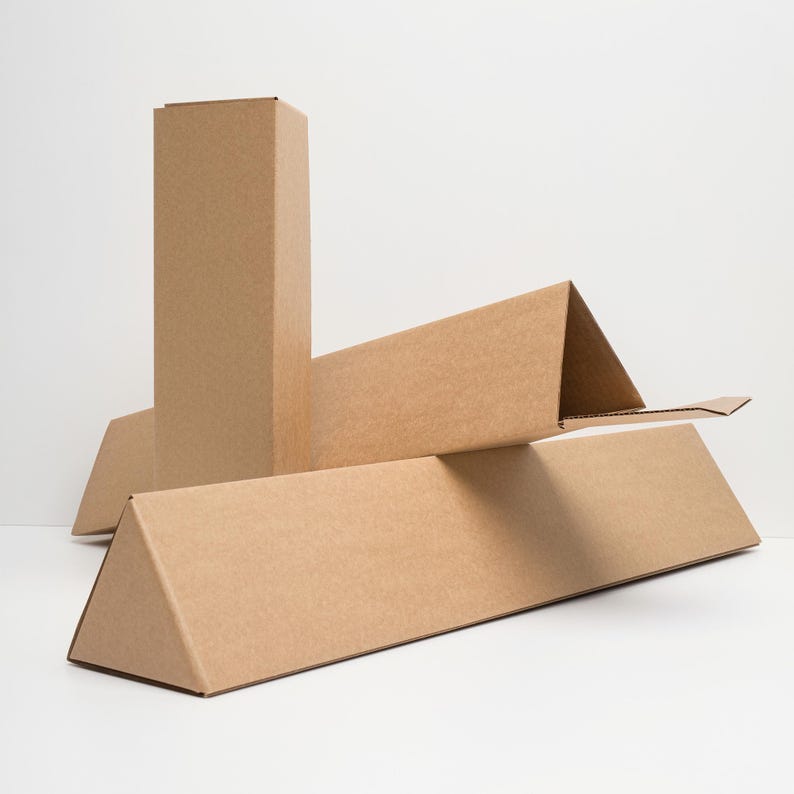
Free standard US shipping on every format. Prices before tax: framed 12 × 16, $89; 16 × 20, $119; 18 × 24, $139; oak hanger 24 × 36, $89; unframed 8 × 10, $19.95; 12 × 18, $29.95; 16 × 20, $34.95. International shipping is calculated at checkout.
Map data © OpenStreetMap contributors, available under the Open Database License (openstreetmap.org/copyright).
Designed by RetroSwell with AI-assisted design tools, drawn from OpenStreetMap coastline data and public elevation data. Printed to order by our production partner, Printful.
Please check your size before ordering. This listing does not accept returns or exchanges. If your print arrives damaged, misprinted, or incorrect, send us a message through Etsy with photographs so we can help.
Price:$19.95+
You can only make an offer when buying a single item
-
Get it byOct 23-Nov 2
Your order should arrive by this date if you buy today. To calculate an estimated delivery date you can count on, we look at things like the carrier's latest transit times, the seller's processing time and shipping history, and where the order is shipping to and from.
-
Cost to shipFREE to United States, 43215.
Seller's description
Specifications
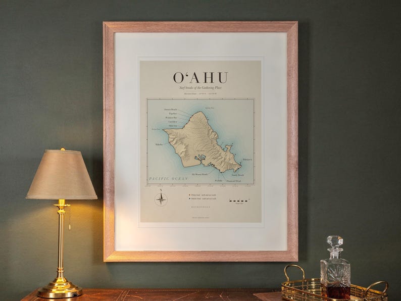
A vintage-style chart of Oʻahu’s surf breaks, drawn from real coastline and elevation data. The North Shore’s Haleʻiwa, Laniākea, Waimea Bay, Pipeline and Sunset Beach run along the top, Mākaha holds the west side, and Ala Moana Bowls, Waikīkī, Diamond Head, Sandy Beach and Makapuʻu line the south and east. Winter breaks are marked in red and summer breaks in navy, with the island’s mountains in soft relief, a compass rose and a scale in miles.
The aged paper tones are part of the printed design. This is a decorative art print, not a navigational chart.
Prefer to print it yourself? This design is also available as an instant digital download. Find it in the “Digital” sections of our shop.
CHOOSE YOUR FORMAT
• Framed with a white mat, in Red Oak, black or white wood: 12 × 16, 16 × 20 or 18 × 24 inches. Acrylic front and hanging hardware included, ready to hang.
• Oak hanger poster: 24 × 36 inches, held top and bottom by natural wood rails with magnets and a matching hanging cord.
• Unframed print: 8 × 10, 12 × 18 or 16 × 20 inches, with a white paper border.
Framed sizes refer to the print inside the frame. The complete artwork is always shown without cropping; see the Sizes & formats photo for every option shown to scale.
Every piece is an art reproduction, printed to order on 189 g/m² enhanced matte paper by our production partner, Printful. Colors may vary slightly between screens and the finished print. No digital download is included.
Free standard US shipping on every format. Prices before tax: framed 12 × 16, $89; 16 × 20, $119; 18 × 24, $139; oak hanger 24 × 36, $89; unframed 8 × 10, $19.95; 12 × 18, $29.95; 16 × 20, $34.95. International shipping is calculated at checkout.
Map data © OpenStreetMap contributors, available under the Open Database License (openstreetmap.org/copyright).
Designed by RetroSwell with AI-assisted design tools, drawn from OpenStreetMap coastline data and public elevation data. Printed to order by our production partner, Printful.
Please check your size before ordering. This listing does not accept returns or exchanges. If your print arrives damaged, misprinted, or incorrect, send us a message through Etsy with photographs so we can help.
-
Designed by
-
Materialsmatte paper
Delivery details and policies
-
Get it byOct 23-Nov 2
Your order should arrive by this date if you buy today. To calculate an estimated delivery date you can count on, we look at things like the carrier's latest transit times, the seller's processing time and shipping history, and where the order is shipping to and from.
-
Returns and exchangesNot accepted.
-
Ships fromCharlotte, NC
-
Cost to shipFREE to United States, 43215
There was a problem calculating your shipping. Please try again.
If something goes wrong with an order, we've got your back on all eligible purchases. View program terms
Etsy supports climate solutions, from electric delivery trucks to carbon offsets for every delivery. View how
Meet your seller

Usually responds in a few hours
More from this shop
-
Southern California Surf Map Art Print, Framed or Unframed Vintage Surf Breaks Poster
$19.95
-
Outer Banks Surf Map Art Print, Framed or Unframed Vintage North Carolina Surf Breaks Poster
$19.95
-
Digital download
Husky Surfing Art Print | Watercolor Dog Wall Art (Digital Download)
$9.99
-
Digital download
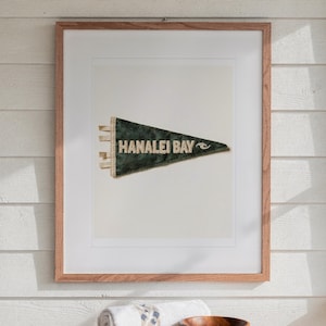
Hanalei Bay, Kauai, Hawaii Surf Pennant Print | Vintage Felt Pennant Art (Digital Download)
$7.99
-
Digital download
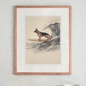
German Shepherd Surfing Print | Dog Surf Wall Art (Digital Download)
$7.99
-
Digital download
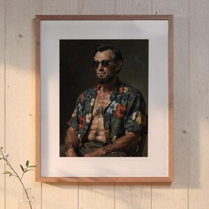
Four Score and Seven Waves Ago Lincoln Print | Funny Surf Art (Digital Download)
$7.99
-
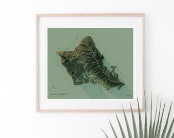
Oahu Shaded Relief Surf Map
Sale Price $50.40
Original Price $56.00
-

Oahu Hawaii Surf Map
Sale Price $45.00
Original Price $50.00
-
North Shore Oahu Map Print, North Shore Hawaii Poster, Oahu Wall Art, Hawaii Gift, Oahu Surf Map Decor, Hawaiian Art, Beach House Decor
$35.00
-
Vintage Oahu Hawaii Map Poster – Historic Oahu Illustrated Map – Retro Hawaiian Islands Wall Art – Mem-O-Map Travel Print – Coastal Decor
Sale Price $36.17
Original Price $42.55
-
Oahu - Leeward Coast Surf Map - 12x18 Retro Hawaii Travel Print
$30.00
-
Hawaiian Islands Map - Hawaii to Oahu Map 1929 - Nautical Chart Print
$24.95
-

Oahu Map Print, Oahu Hawaii Poster, Oahu Wall Art, Hawaii Gift, Oahu Map Decor, Hawaii Art, Beach House Decor, Honolulu Map Poster
$35.00
-
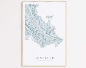
Honolulu Map Print, Oahu Poster, Honolulu Wall Art, Hawaii Gift, Hawaii Surf Map Decor, Hawaiian Art, Beach House Decor, Honolulu Gift
$35.00
-
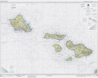
Hawaiian Islands Map - Hawaii to Oahu Map 1990 - Nautical Chart Print
$24.95
-
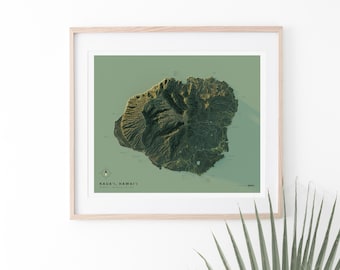
Kaua'i Shaded Relief Surf Map
Sale Price $50.40
Original Price $56.00
-

1901 Vintage Hawaii Map Print: Hawaiian Islands Art - Oahu, Maui, Kauai, Molokai & Big Island
Sale Price $21.00
Original Price $28.00
-

Oahu Map - 18x24 Poster Art Print, Map of Oahu, Hawaii Print, Beach decor, Waikiki, Diamond Head, Hanauma Bay, Kailua, Kaneohe, North Shore
$18.99
Shoppers with similar taste loved these
-
Digital download
beach surf photography print, coastal horizontal art, digital download, coastal surf wall art, california photography, beachy wall art
$2.99
-

Digital download
Coastal Surf Print, Minimalist Beach Photography, Boho Decor, Neutral Ocean Wall Art Printable
Sale Price $4.95
Original Price $6.60
-

Digital download
Aerial Surfer Photo Printable Wall Decor Ocean Surfing Print Surf Photography Surfer Poster Aerial Blue Ocean Print Coastal Beach Wall Art
Sale Price $4.92
Original Price $6.15
-

Digital download
Bali Surf Print: Aerial Ocean Wave Photography (Digital Download)
Sale Price $6.52
Original Price $10.04
-
Digital download
Coastal Surf Photography Print, Horizontal Beach Art (Digital Download)
$2.99
-
Digital download
Printable Surfer Wall Art, Surfer Poster, Big Ocean Waves Print, Beach Decor (Digital Download)
$7.00
-

Digital download
Downloadable ocean waves print, blue beach wave photography, modern coastal water poster, large printable wall art
Sale Price $4.16
Original Price $5.20
-

California Wave Photo Set: Modern Boho Beach Prints, Turquoise Wall Art
Sale Price $26.18
Original Price $52.37
-

Digital download
Black and White Surfing Photography Digital Download Black White Surf Print Instant Download Ocean Waves Printable Art Seascape Wall Decor
$6.79
-

Digital download
Beach Wall Art Set of 3 Ocean Wall Art Ocean Photography Ocean Waves Print Coastal Wall Art Waves Wall Decor Waves Poster Beach Print Poster
Sale Price $8.60
Original Price $13.23
-
Digital download
Set Of 4 Aerial Ocean Photography Prints, Set of Four Surf Posters, Waves Wall Art, Breaking Wave Home Decor, Printable Downloadable Art
$14.80
-

California Surf Beach Photo Set: Coastal Wave Art Prints
Sale Price $25.17
Original Price $45.76

