



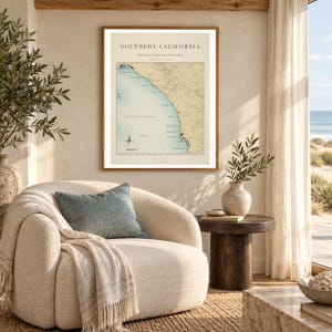
Southern California Surf Map | Trestles to San Diego Surf Breaks Print (Digital Download)
Item highlights
Seller's description
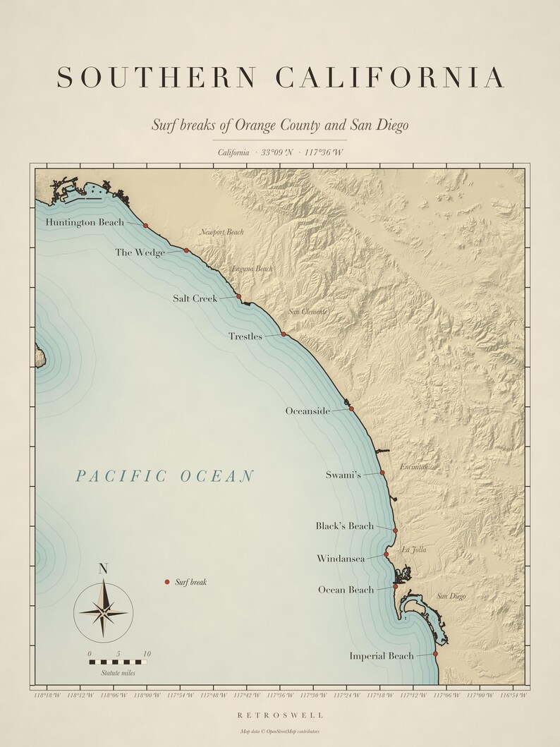
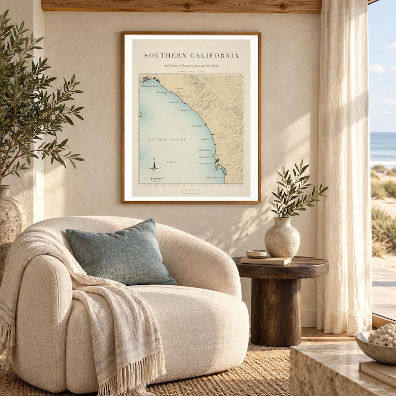
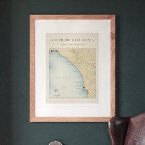
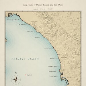
A vintage-style chart of the surf breaks of Orange County and San Diego, drawn from real coastline and elevation data: Huntington Beach, The Wedge, Salt Creek, Trestles, Oceanside, Swami’s, Black’s Beach, Windansea, Ocean Beach and Imperial Beach, with the coastal hills in soft relief, a compass rose and a scale in miles.
Prefer it printed and shipped? This map is also available as a physical print, framed or unframed, with free US shipping. Find it in the “Prints” section of our shop.
—
WHAT'S INCLUDED
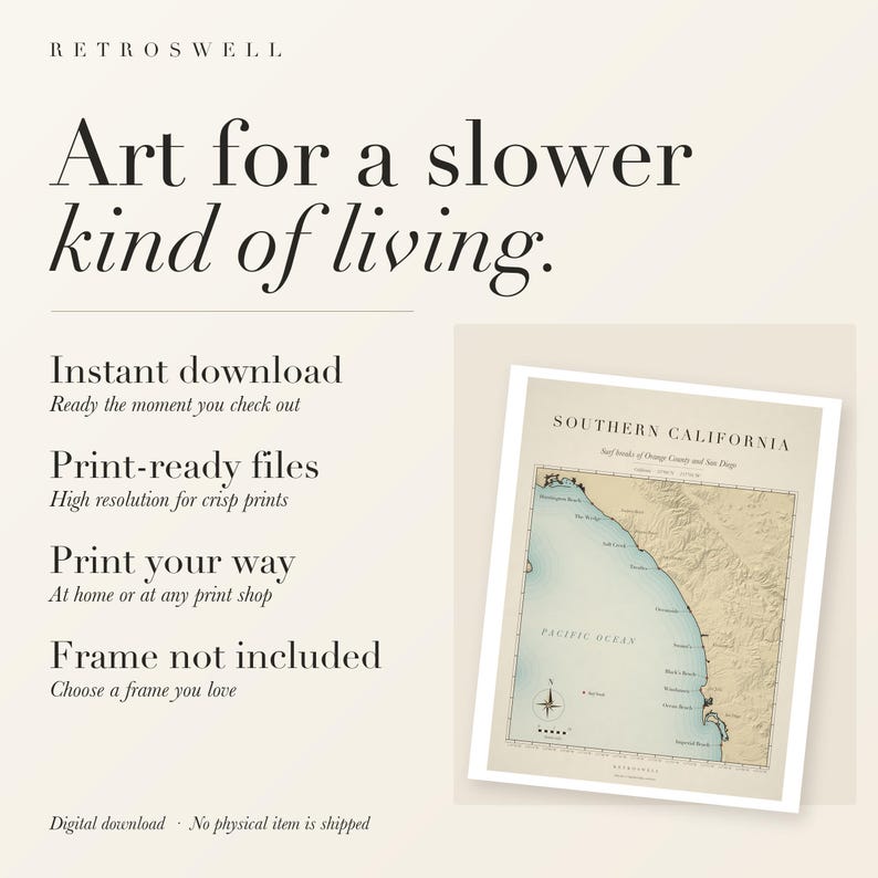
This is a digital download — no physical item will be shipped. After purchase, you'll receive instant access to five ZIP archives containing:
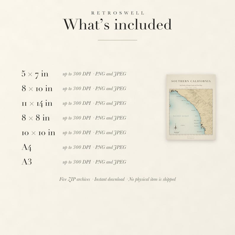
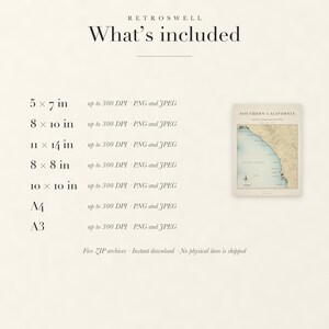
• PNG and JPEG files sized for printing at 5x7, 8x10, 11x14, 8x8 and 10x10 inches
• A4 and A3 international sizes
• Resolution: 5x7 at 300 DPI; 8x10 at 300 DPI; 11x14 at 300 DPI; 8x8 at 300 DPI; 10x10 at 300 DPI; A4 at 300 DPI; A3 at 300 DPI
Every file shows the whole map, title and legend included: sizes with a different shape get a matching paper border instead of a crop.
—
PRINTING TIPS
At home, use a color inkjet printer with heavyweight matte paper (at least 200 gsm) on its best-quality setting. Or upload the JPEG or PNG to any print shop such as FedEx Office, Staples, Walgreens or Costco Photo and choose a matte finish.
—
FREQUENTLY ASKED QUESTIONS
Q: Will anything be mailed to me?
A: No. This is a digital download only. No physical print, frame, or material will be shipped.
Q: Can I print this more than once?
A: Yes, as many times as you like for personal use.
—
The aged paper tones are part of the printed design. This is a decorative art print, not a navigational chart.
Map data © OpenStreetMap contributors, available under the Open Database License (openstreetmap.org/copyright).
Designed by RetroSwell with AI-assisted design tools, drawn from OpenStreetMap coastline data and public elevation data.
Price:$7.99
You can only make an offer when buying a single item
Delivery
Instant download
Your files will be available to download once payment is confirmed. Here's how.
Instant download items don't accept returns, exchanges or cancellations. Please contact the seller about any problems with your order.
Seller's description
Specifications
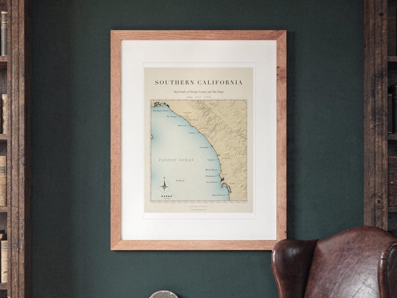
A vintage-style chart of the surf breaks of Orange County and San Diego, drawn from real coastline and elevation data: Huntington Beach, The Wedge, Salt Creek, Trestles, Oceanside, Swami’s, Black’s Beach, Windansea, Ocean Beach and Imperial Beach, with the coastal hills in soft relief, a compass rose and a scale in miles.
Prefer it printed and shipped? This map is also available as a physical print, framed or unframed, with free US shipping. Find it in the “Prints” section of our shop.
—
WHAT'S INCLUDED
This is a digital download — no physical item will be shipped. After purchase, you'll receive instant access to five ZIP archives containing:
• PNG and JPEG files sized for printing at 5x7, 8x10, 11x14, 8x8 and 10x10 inches
• A4 and A3 international sizes
• Resolution: 5x7 at 300 DPI; 8x10 at 300 DPI; 11x14 at 300 DPI; 8x8 at 300 DPI; 10x10 at 300 DPI; A4 at 300 DPI; A3 at 300 DPI
Every file shows the whole map, title and legend included: sizes with a different shape get a matching paper border instead of a crop.
—
PRINTING TIPS
At home, use a color inkjet printer with heavyweight matte paper (at least 200 gsm) on its best-quality setting. Or upload the JPEG or PNG to any print shop such as FedEx Office, Staples, Walgreens or Costco Photo and choose a matte finish.
—
FREQUENTLY ASKED QUESTIONS
Q: Will anything be mailed to me?
A: No. This is a digital download only. No physical print, frame, or material will be shipped.
Q: Can I print this more than once?
A: Yes, as many times as you like for personal use.
—
The aged paper tones are part of the printed design. This is a decorative art print, not a navigational chart.
Map data © OpenStreetMap contributors, available under the Open Database License (openstreetmap.org/copyright).
Designed by RetroSwell with AI-assisted design tools, drawn from OpenStreetMap coastline data and public elevation data.
-
Designed by
-
Item typeDigital download
-
Digital file type(s)5 ZIP
If something goes wrong with an order, we've got your back on all eligible purchases. View program terms
Meet your seller

Usually responds in a few hours
More from this shop
-
Digital download
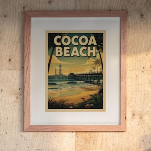
Cocoa Beach Florida Surf Poster | Vintage Travel Print (Digital Download)
$7.99
-
Digital download
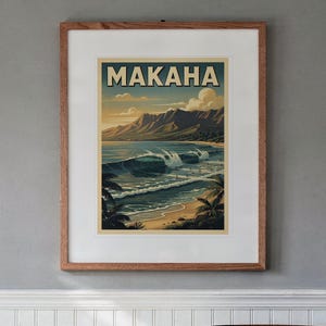
Makaha Hawaii Surf Poster | Vintage Surf Travel Poster (Digital Download)
$7.99
-

Digital download
Laniakea Beach Hawaii Print | North Shore Oahu Surf Poster (Digital Download)
$7.99
-
Digital download
Wrightsville Beach Surf Poster | Vintage Surf Travel Poster (Digital Download)
$7.99
-

Digital download
Steamer Lane Santa Cruz Poster | Vintage Surf Travel Poster (Digital Download)
$7.99
-
Digital download
Windansea Beach Poster | Vintage Surf Travel Poster (Digital Download)
$7.99
-
Vintage Laguna Beach Map Print, Rustic Retro Wall Art, Laguna Beach City Poster, Beach House Decor, California United States Art
$6.95
-

Digital download
San Francisco Bay 1894: Vintage Map California, Printable Travel Poster, Gift, Monterey Bay, Oakland, San Jose, Sacramento, Santa Cruz
$5.83
-
Digital download
San Diego, California Vintage Style Map, Printable America's Finest City Poster (Instant Download)
Sale Price $5.04
Original Price $6.30
-

Digital download
Vintage California State Map | PRINTABLE CALIFORNIA MAP | Rustic California Map | Antique California Map | Great Gift for Californians
$6.50
-
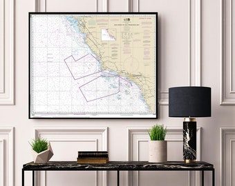
San Diego to San Francisco Bay California Nautical Wall Art Reproduction NOAA 18022 Map Print
Sale Price $5.21
Original Price $6.95
-
Digital download
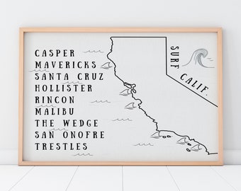
California Surf Map Art Print (Digital Download)
$5.00
-
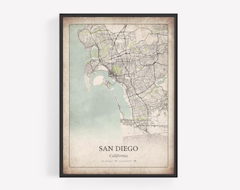
Vintage San Diego Map Print, Rustic Classic Wall Art, San Diego City Poster, Beach House Decor, California United States Art
$6.95
-
Digital download
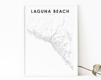
Laguna Beach CA Map Print, California USA Map Art Poster, Orange, City Street Road Map Print, Nursery Room Wall Office Decor, Printable Map
Sale Price $3.89
Original Price $5.99
-
Digital download
California Beach Print, San Deigo Print, San Onofre Surf Printable Wall Art, Surf California Ocean Photography
$9.81
-
Digital download
Vintage Monterey, CA Map Poster - Instant Download Map, California Wall Map, Monterey Wall Art, Vintage US Map Print
$8.88
-
Rustic Cabo San Lucas Map Print, Antique Distressed Wall Art, Cabo San Lucas City Poster, Resort Villa Decor, Baja California Sur Mexico Art
$6.95
-
Digital download
San Diego County Map Poster, Printable California Road Map with City Names (Instant Download)
Sale Price $5.04
Original Price $6.30
Shoppers with similar taste loved these
-

Welcome To The Surf Shack Sign, Vintage Surf Gift, Surfing Shack, Surfers, Surfer Decor, Surf, Surfer, Gift For Surfer, Girl Surfing Shack
Sale Price $14.80
Original Price $37.00
-

Handmade Surfboard Car Charm | Stained Glass Surfboard Squash 3"
$19.95
-
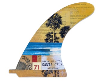
Santa Cruz Surf Art Surfboard Fin Collage (8inch)
$70.00
-

Iron-on patch surfer skeleton | Sea patches for sewing on, surf iron-on transfer, tuna lake patch surfboard iron-on patches Finally Home
$7.04
-

Board Meeting Surf Patch – Embroidered Iron-On Patch – Retro Coastal Aesthetic – Surfer Girl Gift – Beach Vibes Patch – Surf Culture
$7.50
-

Rip Curl V3 Stickers Set X5 Surf Board, Car, Bike, Boards, etc Mixed - Laminated High Quality Water Resistant
$8.82
-

Santa Cruz Mermaid Sticker
$5.00
-
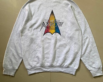
90s Pearson Arrow Santa Cruz Surfboards Torn Sweatshirt Large Size Usa Santa Cruz
$150.00
-
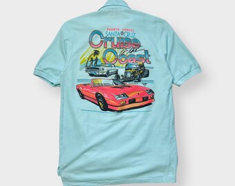
Vintage NOS 1989 Cruise Coast Shirt, K. Telfer, Camaro Santa Cruz Hot Rod O.Tee L
Sale Price $36.75
Original Price $49.00
-

Surfer Trucker Hat
$22.00
-
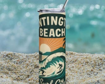
Huntington Beach Surf City Tumbler | 20oz Stainless Steel
$40.99
-
Huntington Beach Surfboard Mug | Retro Surf City Ceramic Coffee Cup
$16.99


