




Boston Nautical Chart Print, Vintage Harbor Map, Sailor's Compass (Digital Download)
Item highlights
Seller's description
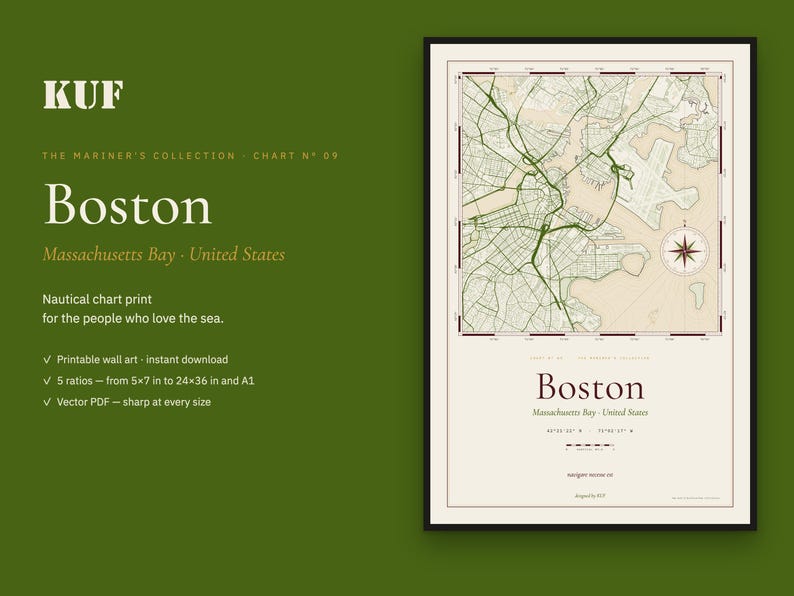
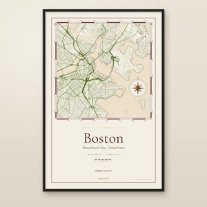
A nautical-chart print of Boston and its inner harbour — drawn like the working charts that sailors kept on the chart table.
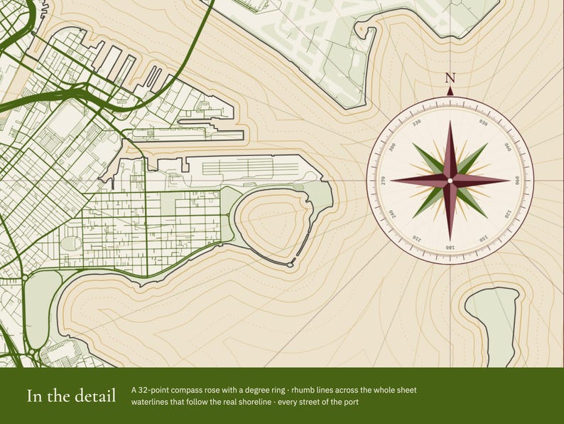
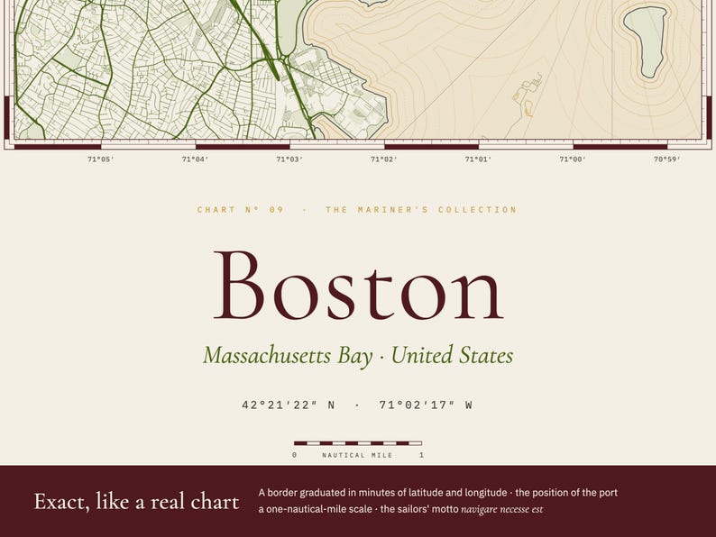
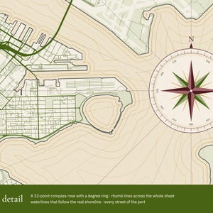
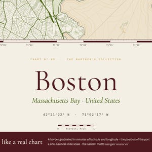
This is not an ordinary city map. Every street of the port and its real shoreline are drawn in fine lines, and around them are the things a navigator would look for: a 32-point compass rose with a degree ring, rhumb lines radiating across the whole sheet, waterlines that follow the coast, and a border graduated in minutes of latitude and longitude — exact for this place. Below the map: the position of the port (42°21′22″ N · 71°02′17″ W), a one-nautical-mile scale and the old sailors' motto, navigare necesse est.
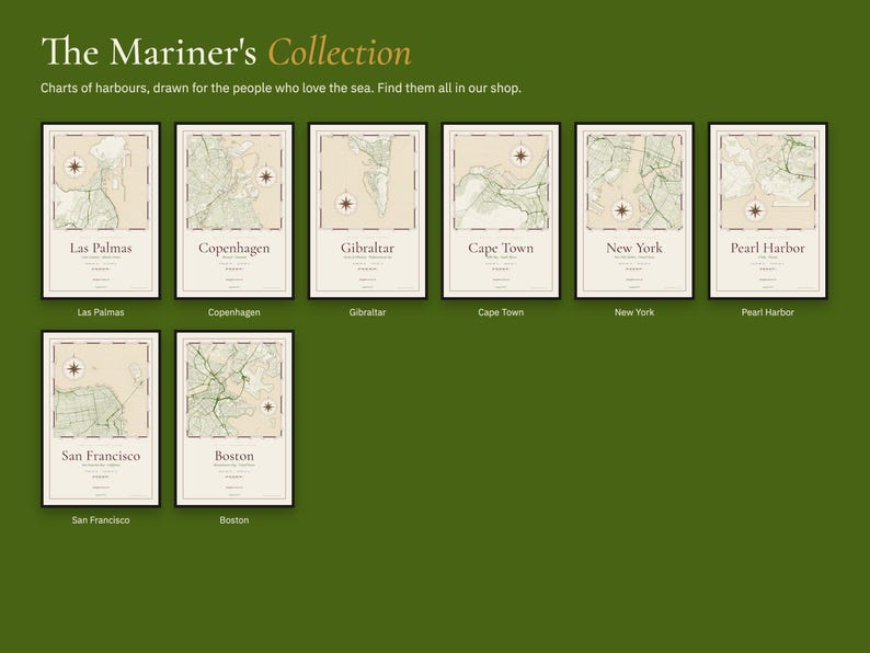
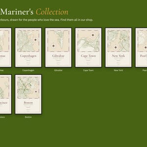
Chart Nº 09 of The Mariner's Collection — our tribute to the people who spend their lives at sea, and to those who wait for them.
✦ WHAT YOU GET
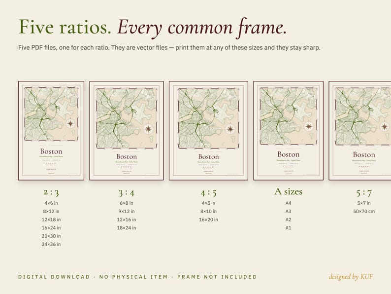
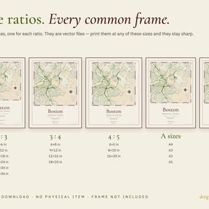
Five print-ready PDF files, one for each ratio:
• 2:3 — for 4×6, 8×12, 12×18, 16×24, 20×30 and 24×36 in
• 3:4 — for 6×8, 9×12, 12×16 and 18×24 in
• 4:5 — for 4×5, 8×10 and 16×20 in
• A sizes — for A4, A3, A2 and A1
• 5:7 — for 5×7 in and 50×70 cm
The files are vector PDFs: they stay perfectly sharp at every one of these sizes.
✦ HOW TO PRINT
• At home, at a local print shop or with an online printing service
• Choose a heavy matte paper for the best result
• Colours: warm paper white, olive, burgundy and brass. They can vary slightly from screen to print.
✦ A THOUGHTFUL GIFT
For sailors, navy families, people who grew up in a port — or anyone who left a piece of their heart in Boston.
✦ PLEASE NOTE
• This is a digital product — nothing will be shipped. The frame is not included.
• A decorative print. Not for navigation.
• For personal use only. Please do not share or resell the files.
• Map data © OpenStreetMap contributors.
designed by KUF
If something goes wrong with an order, we've got your back for all eligible purchases. View program terms
Price:$6.99
You can only make an offer when buying a single item
Delivery
Instant download
Your files will be available to download once payment is confirmed. Here's how.
Instant download items don't accept returns, exchanges or cancellations. Please contact the seller about any problems with your order.
Seller's description
Specifications
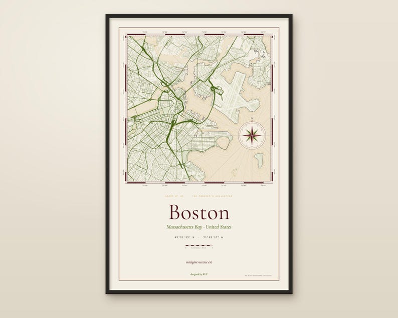
A nautical-chart print of Boston and its inner harbour — drawn like the working charts that sailors kept on the chart table.
This is not an ordinary city map. Every street of the port and its real shoreline are drawn in fine lines, and around them are the things a navigator would look for: a 32-point compass rose with a degree ring, rhumb lines radiating across the whole sheet, waterlines that follow the coast, and a border graduated in minutes of latitude and longitude — exact for this place. Below the map: the position of the port (42°21′22″ N · 71°02′17″ W), a one-nautical-mile scale and the old sailors' motto, navigare necesse est.
Chart Nº 09 of The Mariner's Collection — our tribute to the people who spend their lives at sea, and to those who wait for them.
✦ WHAT YOU GET
Five print-ready PDF files, one for each ratio:
• 2:3 — for 4×6, 8×12, 12×18, 16×24, 20×30 and 24×36 in
• 3:4 — for 6×8, 9×12, 12×16 and 18×24 in
• 4:5 — for 4×5, 8×10 and 16×20 in
• A sizes — for A4, A3, A2 and A1
• 5:7 — for 5×7 in and 50×70 cm
The files are vector PDFs: they stay perfectly sharp at every one of these sizes.
✦ HOW TO PRINT
• At home, at a local print shop or with an online printing service
• Choose a heavy matte paper for the best result
• Colours: warm paper white, olive, burgundy and brass. They can vary slightly from screen to print.
✦ A THOUGHTFUL GIFT
For sailors, navy families, people who grew up in a port — or anyone who left a piece of their heart in Boston.
✦ PLEASE NOTE
• This is a digital product — nothing will be shipped. The frame is not included.
• A decorative print. Not for navigation.
• For personal use only. Please do not share or resell the files.
• Map data © OpenStreetMap contributors.
designed by KUF
-
Designed by
-
Item typeDigital download
-
Digital file type(s)5 PDF
If something goes wrong with an order, we've got your back on all eligible purchases. View program terms
Meet your seller

More from this shop
-
Digital download
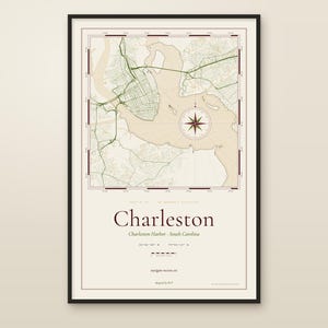
Charleston Nautical Chart Print, South Carolina Harbor Map, Vintage Style Wall Art (Digital Download)
$6.99
-
Digital download
Miami Nautical Chart Print, Biscayne Bay Florida Map, Vintage Style Wall Art (Digital Download)
$6.99
-
Digital download
Copenhagen Nautical Chart Print, Vintage Harbor Map, Scandinavian Wall Art (Digital Download)
$6.99
-
Digital download
San Francisco Nautical Chart Print, Vintage Harbor Map, Bay Area Wall Art (Digital Download)
$6.99
-
Digital download
San Diego Bay Nautical Chart Print, Vintage Harbor Map (Digital Download)
$6.99
-
Digital download
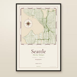
Seattle Nautical Chart Print, Elliott Bay Harbor Map, Vintage Style Wall Art (Digital Download)
$6.99
-
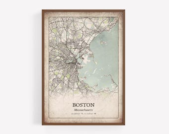
Vintage Boston Map Print, Antique Classic Wall Art, Boston City Poster, Urban Metropolitan Apartment Decor, Massachusetts United States Art
$6.95
-

Digital download
Boston, Massachusetts Vintage Style Map, Printable Boston City Poster (Instant Download)
Sale Price $5.04
Original Price $6.30
-
Digital download
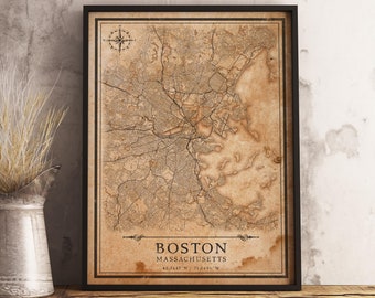
Vintage Style Map Boston, Massachusetts, United States - Instant Download \ City Map \ Wall Art
Sale Price $5.40
Original Price $6.75
-
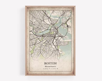
Rustic Boston Map Print, Distressed Grunge Wall Art, Boston City Poster, Urban Metropolitan Apartment Decor, Massachusetts United States Art
$6.95
-
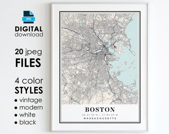
Digital download
Boston MA Map Art Print: Modern, Vintage, Black, White (Digital Download)
$8.00
-
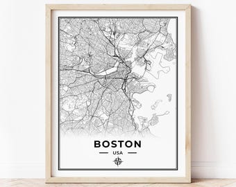
Digital download
Boston Map Print | Map of Boston Massachusetts | Digital Download
$9.16
-

Digital download
Boston Massachusetts Map with Street Names, Printable Boston City Poster (Instant Download)
Sale Price $5.04
Original Price $6.30
-
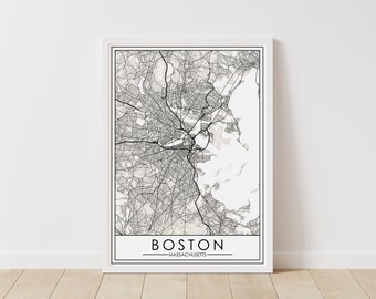
Digital download
Boston, Massachusetts Map – Massachusetts Digital Download – Boston Printable Street Map
$5.99
-
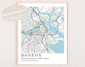
Digital download
Boston Map Digital Download | Boston Map Download | Boston MA Poster | Boston Map Digital Download | Boston Map | Downloadable Boston Map
$5.90
-
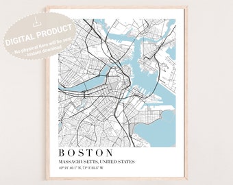
Digital download
Boston Map Digital Download | Boston Map Download | Boston MA Poster | Boston Map Digital Download | Boston Map | Downloadable Boston Map
$5.90
-

Digital download
Boston Downtown Map, Printable Boston Massachusetts Poster with Street Names (Instant Download)
Sale Price $5.04
Original Price $6.30
-
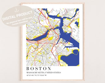
Digital download
Boston Map Digital Download | Boston Map Download | Boston MA Poster | Boston Map Digital Download | Boston Map | Downloadable Boston Map
$5.90
Shoppers with similar taste loved these
-

Boston Travel Poster | Cosy Massachusetts Wall Art Print | Beacon Hill Gift | Wanderlust USA Décor | Large Wall Art | Gallery City Art Gift
$19.33
-

Boston Travel Poster: Vintage Beacon Hill Skyline Art
$19.33
-

Beacon Hill Poster Boston Poster Print Wall Art NYC Illustration Print
$17.94
-

Boston Travel Poster, Beacon Hill Street Art Print, New England Red Brick Wall Decor, USA City Illustration, Vintage Style American Gift
$21.89
-

Navy Peony Historic Boston Statement Stickers - Hand-Illustrated Gouache, Glossy, Waterproof - for Luggage, Laptops, Water Bottles (28 Pcs)
$9.99
-
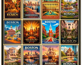
Boston Poster, Massachusetts Art, Vintage Boston Print, Freedom Trail Decor, Acorn Street Wall Art, Retro Boston Poster, Faneuil Hall Print
$6.89
-

PHOTO | GO B's! Boston Bruins | Paper, Canvas & Foam Board Prints | Always FREE Photo Shipping!
$13.99
-

Boston Skyline, pen and ink watercolor print by well known Maryland artist Martin Barry
Sale Price $22.40
Original Price $28.00
-

Boston Garden Art Print: Ink and Watercolor Cityscape
$6.00
-

Boston Back Bay Skyline across the charles ( print of handmade painting with watercolors, microns, pencils) Beantown, waterfront, prudential
Sale Price $14.76
Original Price $18.00
-

Watercolor Boston Map Poster, Massachusetts City Map Wall Art Decor
Sale Price $25.67
Original Price $32.08
-

PHOTO | A Magnificent Sunset View Over the Zakim Bridge in Boston | Paper, Canvas & Foam Board Prints | Always FREE Photo Shipping!
$13.99


