

Crater Lake Oregon Lake Depth Art Print, Above and Below Bathymetric Poster, Line Wall Art, Printable, Three Colors, Six Sizes
Price:$12.00
Here's what's eligible:
- Your order doesn't match the item description or photos
- Your item arrived damaged
- Your item arrived after the estimated arrival window
- Your item didn't arrive or was lost in the mail
You can only make an offer when buying a single item
Highlights
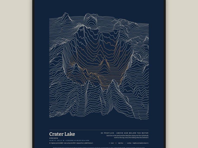
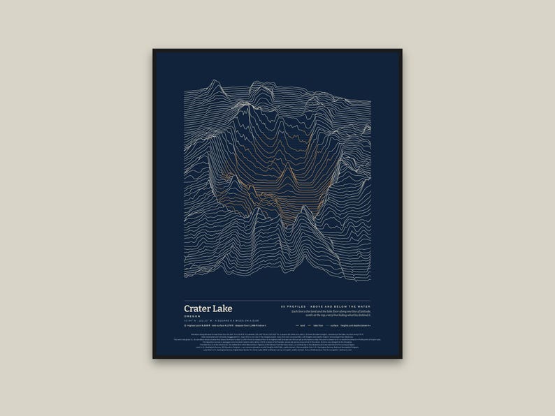
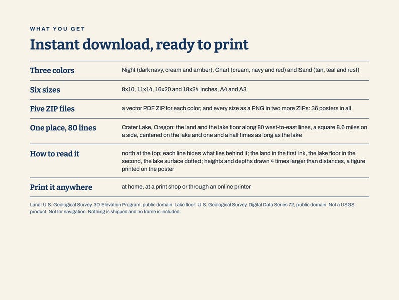
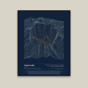
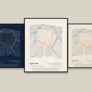
Crater Lake, Oregon, drawn as 80 stacked profiles of the land and the lake floor: the lake's shape above and below its surface, line by line.
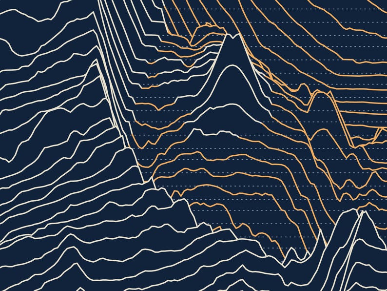
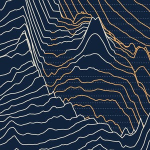
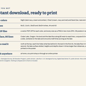
How to read it: each line follows one line of latitude, running west to east. Above the water it is the height of the land, in the first ink; under the lake it keeps going down to the lake floor, in the second ink, and a faint dotted line marks the lake surface. The northernmost line is at the top of the page, and every line hides what lies behind it, so the land and the lake's bowl stand up off the paper. A small ring marks the highest point on the lines, 8,438 ft (2,572 m). The lake surface is at 6,170 ft, and the deepest floor on the lines is 1,940 ft below it.
What is drawn: a square 8.6 miles on a side, centered on the lake and one and a half times as long as the lake. The plan is to scale. Heights and depths are drawn 4 times larger than distances (vertical exaggeration 4×), and that figure is printed on the poster. The set's rule (the smallest whole number that draws the frame's relief, from the deepest lake floor to the highest point, at least one-fifth as tall as the frame is wide) gives 3× here; this print is drawn at 4× so that it matches the shop's Crater Lake in Profile print.
The data: the land is the U.S. Geological Survey's 3D Elevation Program, 1 arc-second elevation model, which is in the public domain. Data available from U.S. Geological Survey, National Geospatial Program. The lake floor is the U.S. Geological Survey's 2000 multibeam survey of Crater Lake (Digital Data Series 72), also in the public domain. The data are resampled and vertically exaggerated 4×: the survey is averaged onto the land model's cells (about 100 ft across) in place of its flat lake, and each line is one row of the merged model, every 2nd cell, not smoothed. Figures are the models', so a sharp top or the deepest point can read short of its surveyed figure.
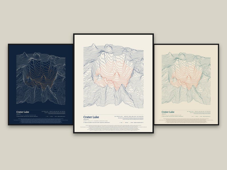
What you get: five ZIP files. Three hold the print-ready vector PDFs, one ZIP for each color: Night (dark navy, cream and amber), Chart (cream, navy and red) and Sand (tan, teal and rust), each in six sizes (8x10, 11x14, 16x20 and 18x24 inches, A4 and A3). The other two hold the same posters as PNG pictures in all three colors: one for 8x10, 11x14 and A4 (300 dots per inch), one for 16x20, 18x24 and A3 (200 dots per inch). This is an instant digital download. Nothing is shipped and no frame is included; you print it at home, at a print shop or through an online printer. For your own personal use.
Please note: Not a USGS product. Not for navigation. Not reviewed or endorsed by the U.S. Geological Survey. It is art made from elevation and lake-floor survey data.
Its flat-lake companion, Crater Lake in Profile, is also in the shop: the same frame and lines, with the lake drawn level at its surface.
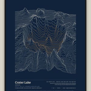
The photos show the poster in frames on a wall to show how it looks hung; the frames and the wall are not part of the order.
The layout and the software were made with the help of AI tools; the lines are computed from the data.
Instant Download
Your files will be available to download once payment is confirmed. Here's how.
Instant download items don’t accept returns, exchanges or cancellations. Please contact the seller about any problems with your order.
Etsy Purchase Protection
Shop confidently on Etsy knowing if something goes wrong with an order, we've got your back for all eligible purchases —
see program terms


More from this shop
Visit shop-
Digital download
Denali Alaska Elevation Art Print, In Profile Ridgeline Poster, Topographic Line Wall Art, Printable, Three Colors, Six Sizes
$12.00
-
Digital download
Lake Tahoe California Nevada Lake Depth Art Print, Above and Below Bathymetric Poster, Line Wall Art, Printable, Three Colors, Six Sizes
$12.00
-
Digital download
Mount Shasta California Elevation Art Print, In Profile Ridgeline Poster, Topographic Line Wall Art, Printable, Three Colors, Six Sizes
$12.00
-
Digital download
Yosemite Valley California Elevation Art Print, In Profile Ridgeline Poster, Topographic Line Wall Art, Printable, Three Colors, Six Sizes
$12.00