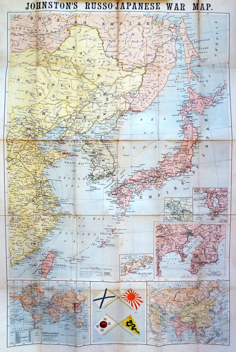
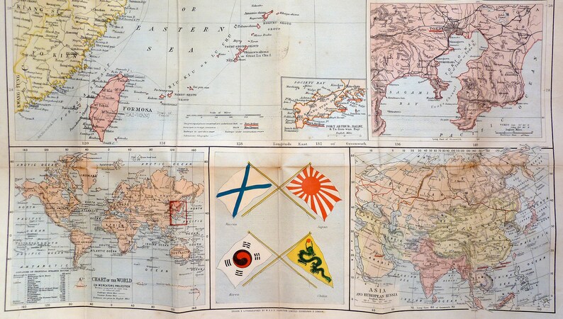
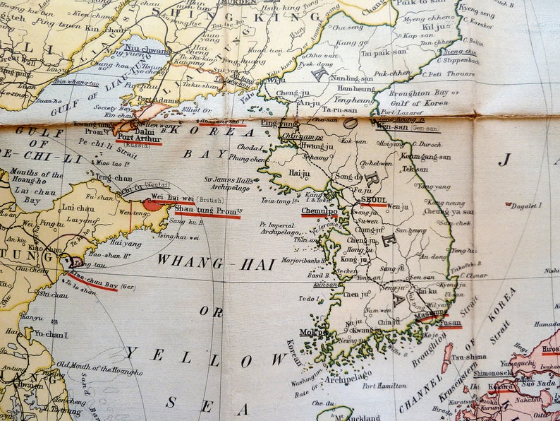
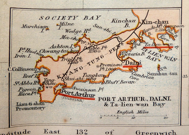
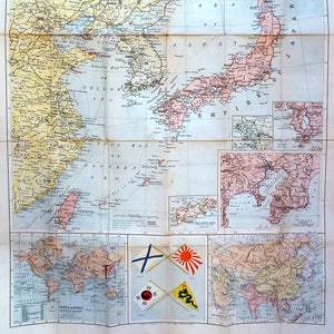
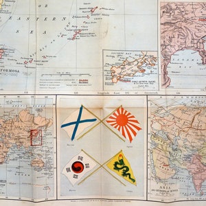
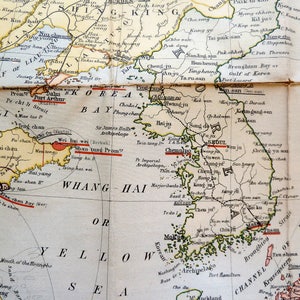
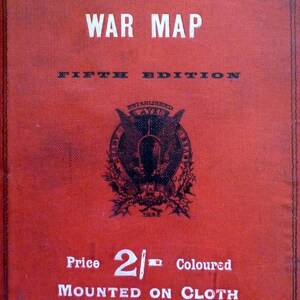
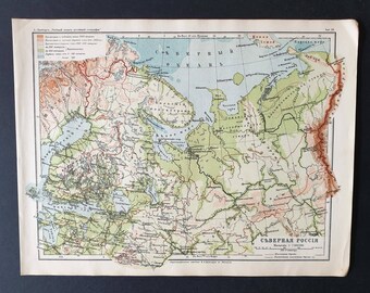
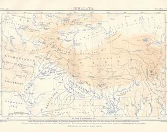
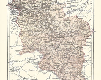
Separately issued folding map backed on linen as originally issued, showing the Russo-Japanese War. It was published by W. & A. K. Johnston in London, 1904. Inset maps included are: a Chart of the World, Asia and European Asia, Tokyo and Environs, Nagasaki & Saseho, Seoul & Environs and Port Arthur, Dalni & Ta-Lien-Wan Bay. Also shown in the lower centre are the flags of Russia, Japan, Korea and China. Principal places in the conflict are underlined in red, while ports open to foreign commerce are underlined in black. Railways in use, railways under construction and submarine telegraphs are all drawn in.
The Russo–Japanese War, 1904–05, was fought between the Russian Empire and the Empire of Japan over rival imperial ambitions in Manchuria and Korea. The major theatres of operations were the Liaodong Peninsula and Mukden in Southern Manchuria and the seas around Korea, Japan and the Yellow Sea. Russia sought a warm-water port on the Pacific Ocean for its navy and for maritime trade. Vladivostok was operational only during the summer, whereas Port Arthur, a naval base in Liaodong Province leased to Russia by China, was operational all year. Since the end of the First Sino–Japanese War in 1895, Japan feared Russian encroachment on its plans to create a sphere of influence in Korea and Manchuria. Seeing Russia as a rival, Japan offered to recognize Russian dominance in Manchuria in exchange for recognition of Korea as being within the Japanese sphere of influence. Russia refused and demanded Korea north of the 39th parallel to be a neutral buffer zone between Russia and Japan. The Japanese government perceived a Russian threat to its plans for expansion into Asia and chose to go to war. After negotiations broke down in 1904, the Japanese Navy opened hostilities by attacking the Russian Eastern Fleet at Port Arthur, China, in a surprise attack.
Russia suffered multiple defeats by Japan, but Tsar Nicholas II was convinced that Russia would win and chose to remain engaged in the war; at first, to await the outcomes of certain naval battles, and later to preserve the dignity of Russia by averting a "humiliating peace". The war concluded with the Treaty of Portsmouth, mediated by US President Theodore Roosevelt. The complete victory of the Japanese military surprised world observers. The consequences transformed the balance of power in East Asia, resulting in a reassessment of Japan's recent entry onto the world stage. It was the first major military victory in the modern era of an Asian power over a European one.
This map shows Asia at the peak of the conflict between the two empires!
The firm of W. & A.K. Johnston was one of the major publishing houses of the 19th century. Co-founders, brothers William and Alexander Keith (1804-1871) Johnston, started out as apprentices to the Scottish globe maker and publisher James Kirkwood in his Edinburgh workshop. Having learned their trade there, they set up their own business, also in the city. They acquired the established Scottish publishing house of William Lizars, and began, first printing by contract, and slowly expanding their repertoire into atlases, gazetteers, guide books, globes and much more.
Some of the exceptional map publications from W. & A. K. Johnston include the 'National Atlas of General Geography', first issued in 1843, this 'Handy Royal Atlas of Modern Geography' first published in 1874, various scientific and statistical atlases, such as 'Johnston’s School Astronomical Atlas' from 1877, 'The Statistical Atlas of England and Wales' from 1882 and 'The Royal Atlas of Modern Geography'. The business continued to function under the Johnston name until the 1960s.
Measurements: 21 x 33 in. (53 x 84 cm).
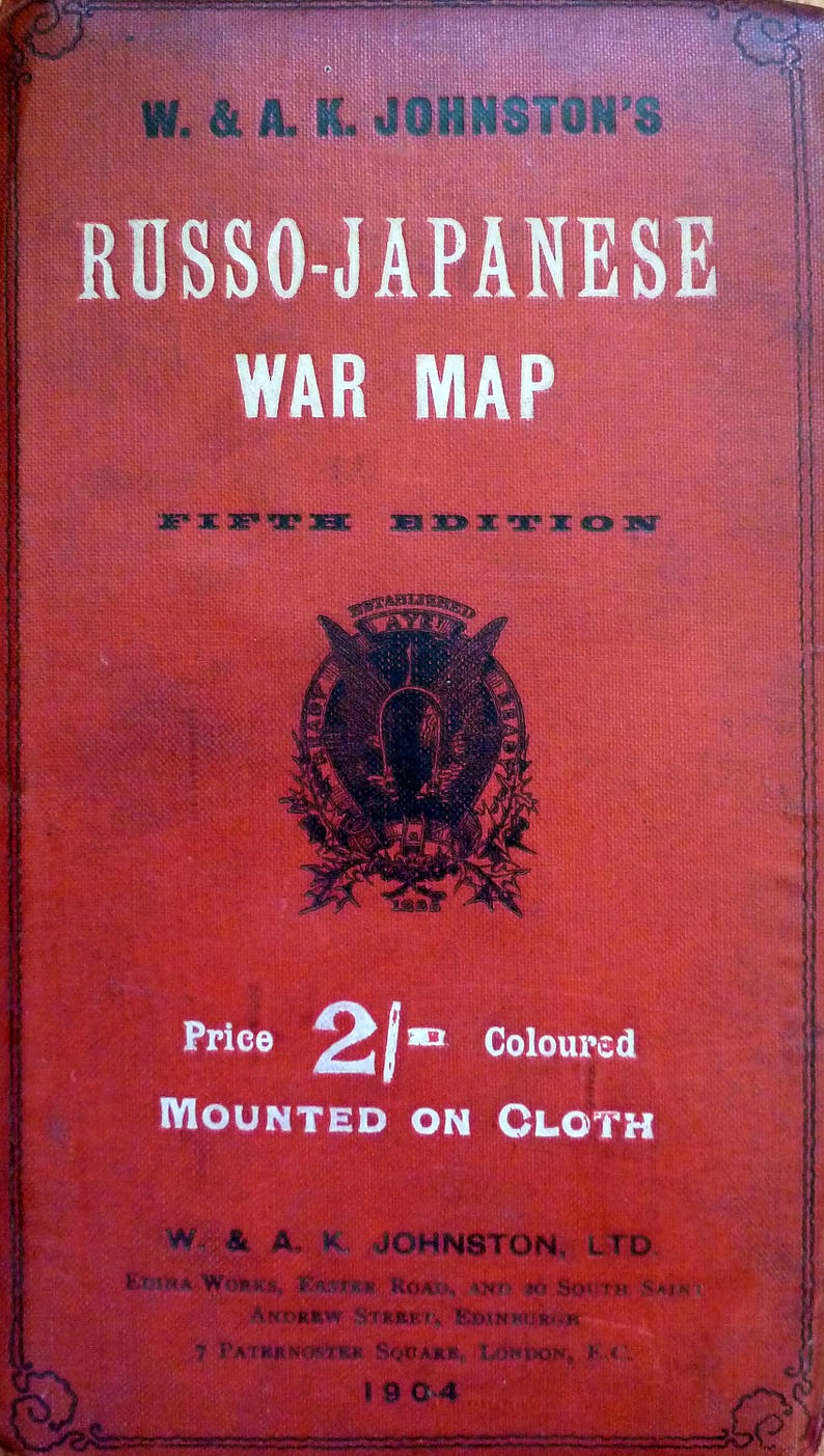
Printed and issued in London by W. & A. K. Johnston, Ltd, London, 1904.
Conservation notes: Overall its condition can be rated as good, with small holes in some of the folded intersections and a tear in the upper right fold just entering the map (8/10).