

Low in stock, only 4 left
Price:$4,895.00
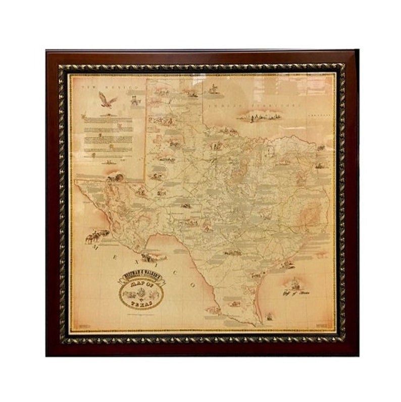
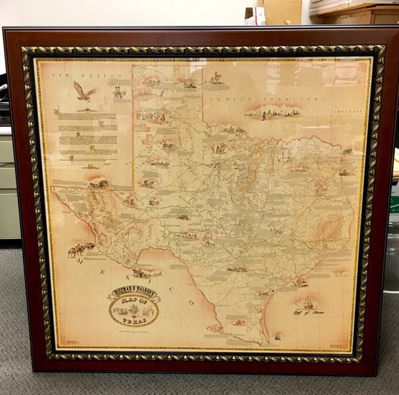
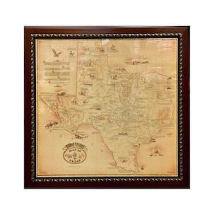
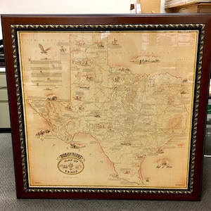
Vintage Framed Texas Map Reprint, Hoffman and Walker’s Historical Map
Returns & exchanges accepted
You can only make an offer when buying a single item
Highlights
NOTE: THIS IS A FRAMED VINTAGE REPRINT
DELIVERY IN Houston, Austin, San Antonio Texas areas only. Email address for delivery quote.
Frame shown will be provided unless material is out of stock. if it is we will provide similar or upgraded material.
Original for sale, see our other listing.
UPDATE: We now have vintage reprints of the Hoffman & Walker Map. These were printed in the 1980's - 1990's and acquired from a collection in 2007. They are printed on a thinner paper stock and have all the detail of the original. We only have limited number of these reprints. This would be great for a conference room, office, home, ranch or just give as a gift to your favorite Texan. Don't miss out, when they are gone, there will be no more.
Map show is the original on heavy paper stock.
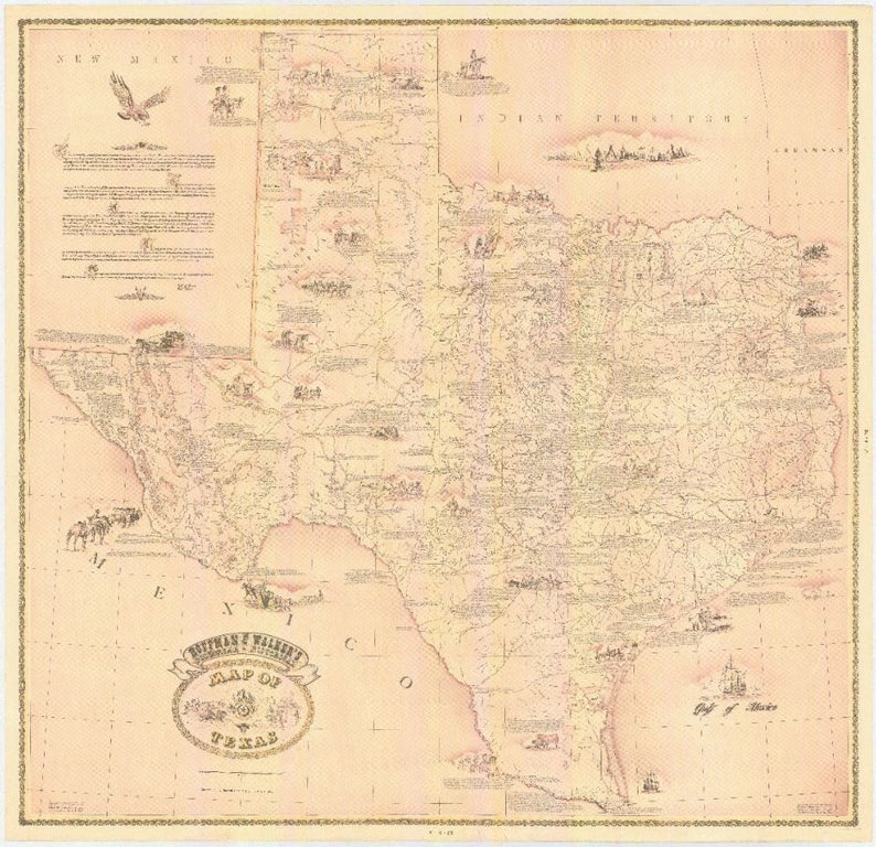
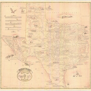
Researched, compiled, and drawn by Bill Hoffman and Bill Walker, this impressive map focuses on roads and trails of nineteenth century Texas. The map is augmented by nearly three dozen artistic vignettes accompanied by textual descriptions of historically significant events ranging from early discovery in Texas, to conflicts with American Indians, and other interesting historical stories.
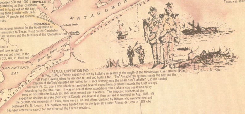
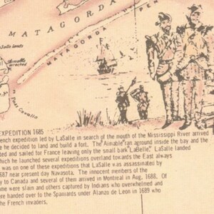
In 1685, in his quest to find the mouth of the Mississippi River, René-Robert Cavelier, Sieur de La Salle (1643–1687) landed in the Gulf of Mexico and established Fort St. Louis. Although the French settlement did not last long, it had far reaching consequences as it focused the attention of the Spanish government in Mexico on east Texas, leading to the establishment of missions and presidios in the area. LaSalle’s landing on the Texas coast is the earliest scene depicted on the map.[1]
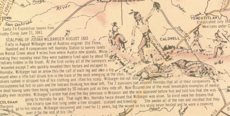
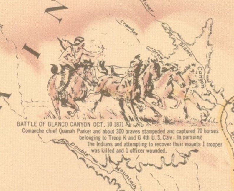
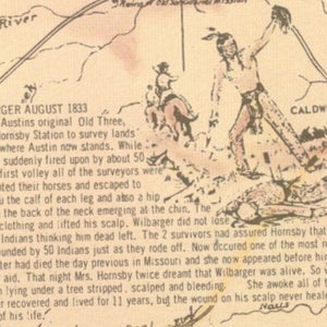
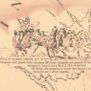
Hoffman & Walker’s map contains illustrations and descriptions of various conflicts with indigenous peoples within Texas. Depicted throughout West Texas and the Panhandle are several battles, including the Battle of Blanco Canyon, the Adobe Walls Fight, and the Buffalo Wallow fight. To the west of Washington-on-the-Brazos, the map includes the story of the scalping of Josiah Wilbarger at the hands of a group of Comanche Indians. Wilbarger was a member of a surveying expedition that came under attack, during which he suffered multiple wounds, was left for dead, and was scalped. Incredibly, he survived the ordeal and was returned safely to his family.
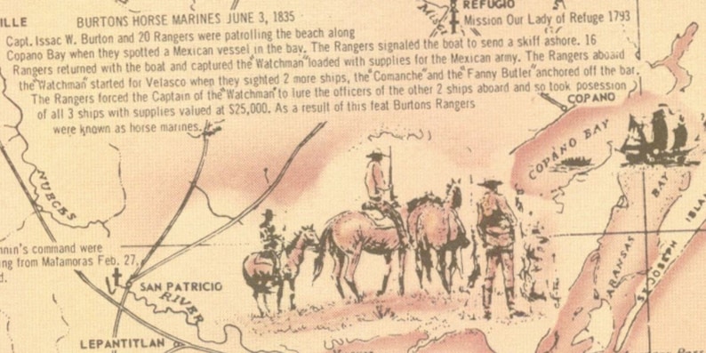
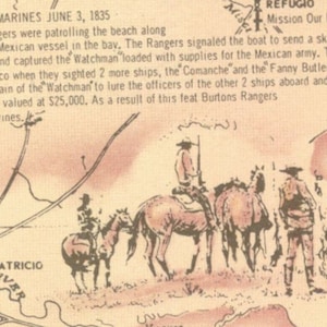
Isaac Burton’s “Horse Marines” are featured near Corpus Christi Bay gazing out toward Copano Bay. This was the site of one of the more bizarre tactics ever used to commandeer an enemy ship. In the months following the Battle of San Jacinto, Texan forces were dispatched to secure the coastline against potential Mexican incursions. Upon encountering a Mexican ship in Copano Bay, Burton and his horse-mounted rangers employed cunning and deception to bloodlessly take control of not just that ship, but two additional ships that came later.
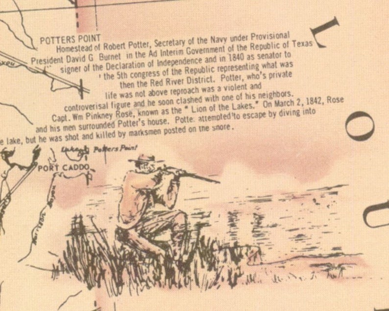
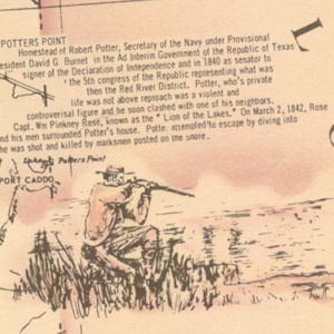
The northeastern portion of the map includes a vignette of a man sitting at the edge of a body of water, aiming a rifle out toward the horizon. The text describes this location as Potter’s Point, the homestead of Robert Potter, the former Secretary of the Navy of the Republic of Texas. Potter attempted to escape an armed dispute with a neighbor by diving into a lake, but was shot and killed by a marksman posted on the shore.[2]
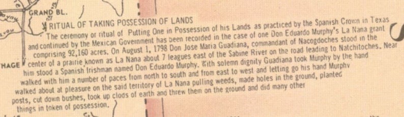
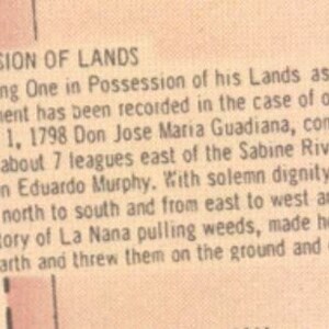
Finally, just below the image of Potter’s demise, and relevant to the General Land Office, a block of text is dedicated to describing the particular, somewhat peculiar (by modern convention) process by which land owners were granted possession of their land under Spanish rule. It notes that the new land owner was taken by the hand and “walked about…pulling weeds, made holes in the ground, planted posts, cut down bushes, took up clods of earth and threw them on the ground” as well as engaging in other tokens of possession.
Hoffman and Walker’s Pictorial, Historical Map of Texas contains an enormous amount of information packed into a neatly illustrated map of the state of Texas.
-
Order today to get by Sep 16-24
Your order should arrive by this date if you buy today. To calculate an estimated delivery date you can count on, we look at things like the carrier's latest transit times, the seller's processing time and shipping history, and where the order is shipping to and from.
-
Returns & exchanges accepted within 7 days
Buyers are responsible for return shipping costs. If the item is not returned in its original condition, the buyer is responsible for any loss in value.
-
Cost to ship: $275.00
-
Ships from: Houston, TX
There was a problem calculating your shipping. Please try again.
Etsy Purchase Protection
Shop confidently on Etsy knowing if something goes wrong with an order, we've got your back for all eligible purchases —
see program terms

Be the first to review this item



-
Texas wall Map 1841 Republic of Texas map, Texas state Historical map, Antique Restoration decorator Style up to 42" x 53" Texas Art Print
$23.00
-
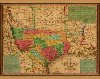
1835 Texas Map Print, Vintage Land Grants, Decorative Wall Art
$43.99
-
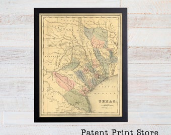
Antique Texas Map Print, Historic Wall Art
Sale Price $22.50
Original Price $30.00
-
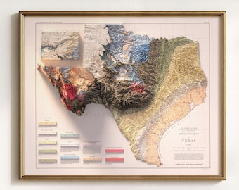
Vintage Texas Map: Shaded Relief Wall Art, Elevation and Geology Poster Print
Sale Price $79.20
Original Price $99.00
-
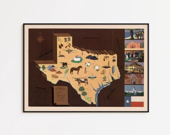
Vintage Texas Map Print: 1938 Historical Wall Art
$29.00
-

Vintage Texas Geological Map 1933: Relief & Elevation Wall Art, Map Poster Print
Sale Price $63.20
Original Price $79.00
-
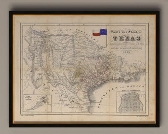
1849 Texas Map Print: Antique German Baedeker Lone Star Flag Art
Sale Price $19.77
Original Price $35.94
-

Vintage Texas Soil Map Print: 1973 Historical Geography Wall Art
Sale Price $63.20
Original Price $79.00
-
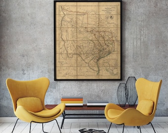
Antique Texas Map Print, Vintage 1841, Historical Wall Art
Sale Price $34.10
Original Price $42.62
-
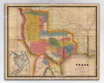
1835 Texas Land Grants and Historic Map of Galveston - Map Art Print
Sale Price $14.14
Original Price $18.85
-
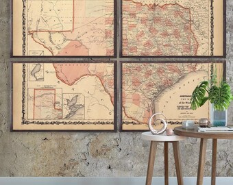
Map of Texas 1862 reprint, Lone Star State map decor/gift - 7 up to 72x48" in 1 or 4 parts and in 3 color choices - sold UNFRAMED only
Sale Price $41.40
Original Price $46.00
-
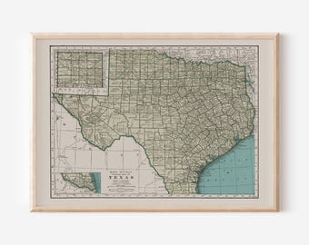
VINTAGE TEXAS MAP, Vintage Map of Texas, Antique Map Print, Historical Wall Art, Texas Poster, Texas Wall Art, Texas Map Print
$13.00
Shoppers with similar taste loved these
-

American Cowboy Rodeo Poster: Texas Hall of Fame, Vintage Western Art
Sale Price $15.72
Original Price $20.96
-
Digital download
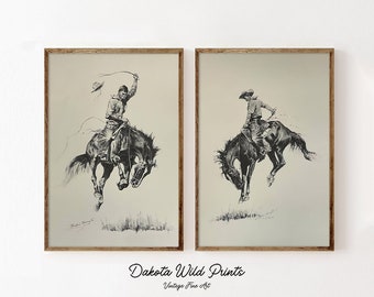
Western Cowboy Sketch PAIR | Vintage Wall Art | Mid Century Decor | Cowboy Painting | Antique Painting| PRINTABLE Digital Download |
$3.50
-

Pendleton Rodeo Poster: Vintage Cowboy Wall Art Print - Framed
Sale Price $59.77
Original Price $79.69
-
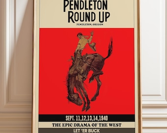
Pendleton Round-Up Rodeo Poster | Vintage Cowboy Bronco Print | Western Americana Wall Art Decor
Sale Price $15.72
Original Price $20.96
-
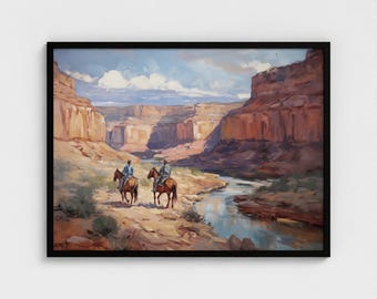
Western Oil Painting Grand Canyon Wall Art Cowboys on Horses Art Prints SouthWest Mountain Landscape Wall Art for Living Room Framed Art
Sale Price $27.99
Original Price $39.99
-
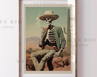
Cigar Trails / Retro Skeleton Cowboy Art, Western Wall Art, Cowboy Retro Art, Road Trip Gift, Eclectic Art, Southwestern Print, Skull Art
$28.00
-
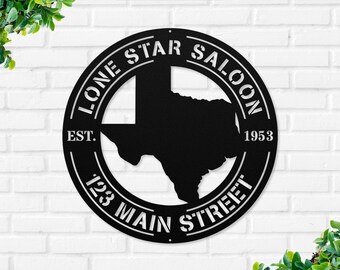
Texas State Family Name Sign, Custom Texas Metal Sign, Last Name Metal Sign, Metal Established Family Sign, Texas Metal Wall Art, Texas Sign
Sale Price $47.99
Original Price $63.99
-
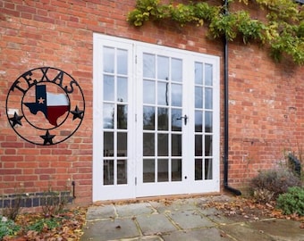
Wrought Iron Texas Map Wall Decor – Rustic Lone Star Metal Art
Sale Price $54.55
Original Price $61.99
-

shape of Texas bluebonnet floral metal wreath sign, blue florals still life wall art, sign for spring, sign for summer
Sale Price $7.65
Original Price $9.00
-
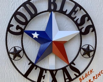
24",32",36",40" GOD BLESS TEXAS Home metal Barn Star Twisted Ring Western Home Decor Red White Blue patriotic -- Free Shipping
$99.95
-
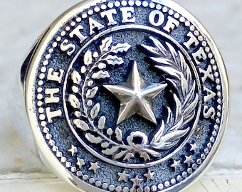
Seal of Texas State Handmade 3D Ring Solid Sterling Silver 925
$129.00
-
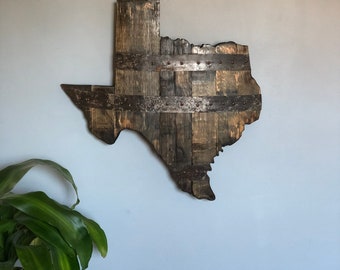
2’ Texas State Bourbon Barrel Wood Cutout with Rings
$150.00


Looking for more? Find it on Etsy