


Price: $18.00+
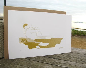
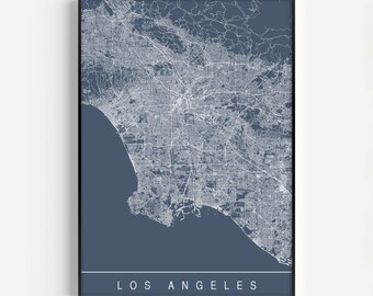
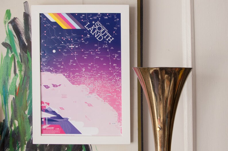
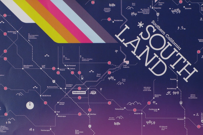
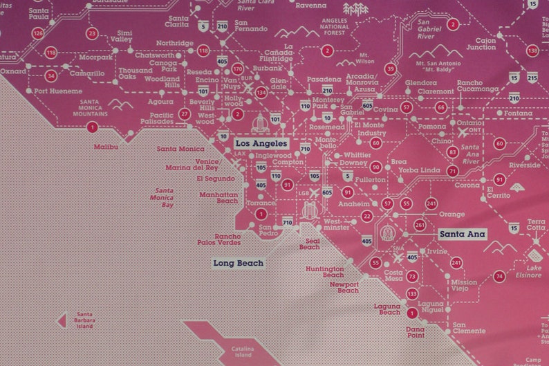
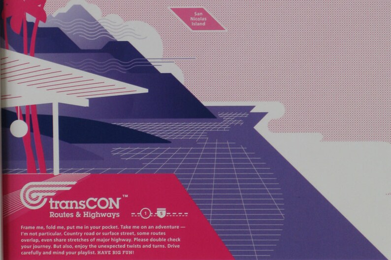
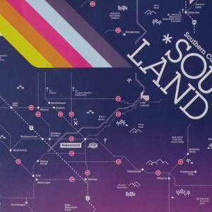
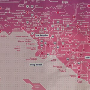
transCon Maps: SOUTHERN CALIFORNIA
Your order should arrive by this date if you buy today. To calculate an estimated delivery date you can count on, we look at things like the carrier's latest transit times, the seller's processing time and shipping history, and where the order is shipping to and from.
You can only make an offer when buying a single item
-
Order today to get by May 8-18
Your order should arrive by this date if you buy today. To calculate an estimated delivery date you can count on, we look at things like the carrier's latest transit times, the seller's processing time and shipping history, and where the order is shipping to and from.
-
Returns & exchanges not accepted
But please contact me if you have problems with your order
-
Cost to ship: $7.05
There was a problem calculating your shipping. Please try again.
Etsy Purchase Protection
Shop confidently on Etsy knowing if something goes wrong with an order, we've got your back for all eligible purchases —
see program terms

Other reviews from this shop
|
(6)
Really loved this tote. I had bought this as a gift for xmas but wanted to keep it for myself. The seller was very responsive with some questions that I had would definitely recommend swooping this tote!
Purchased item:
SF SERIES: Tote Bag
Xochitl Lopez Jan 12, 2021
Yael S Nov 20, 2021
Purchased item:
SF SERIES : Four Cards Featuring Bay Area IconographyCrysta Highfield Apr 21, 2020