

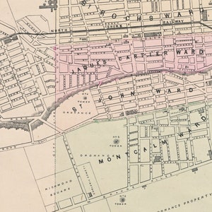
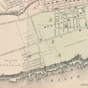
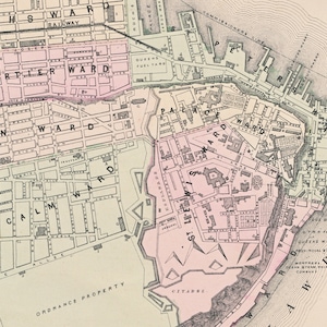
1875 Antique Map of Quebec City, Hand-Coloured Street Plan
Rare find
Price:$200.00
Returns accepted
You can only make an offer when buying a single item
Highlights
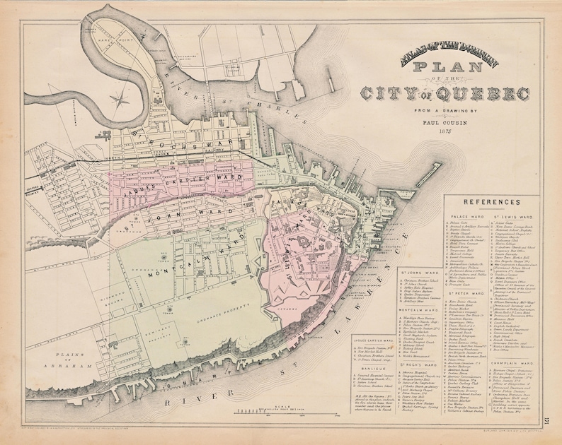
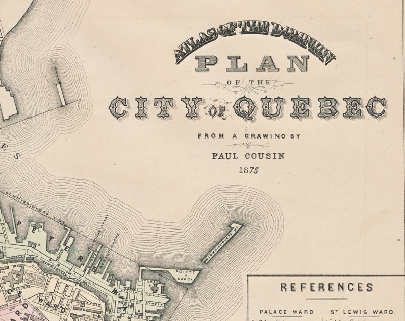
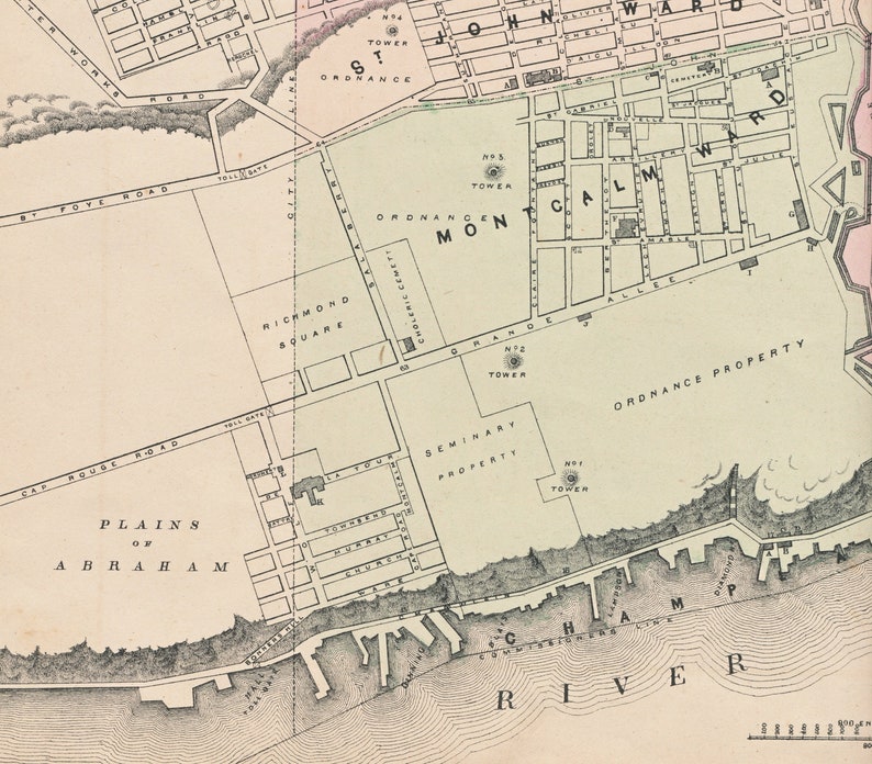
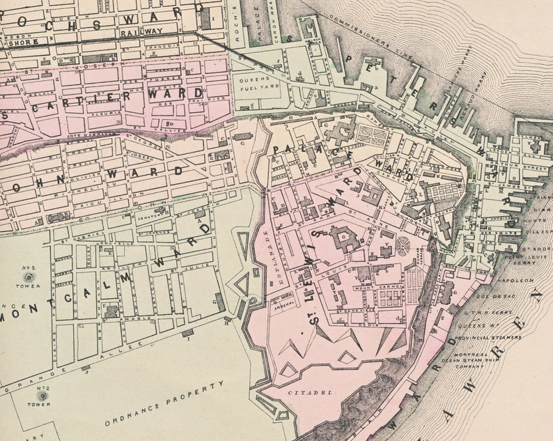
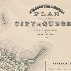
This is a rare hand-coloured map of Quebec City in the province of Quebec, Canada. published by George N. Tackabury, Montreal, in 1875. As indicated in the map title, the map is from a drawing by Paul Cousin, and is dated 1875. A detailed legend showing prominent locations is printed at the bottom right part of the map.
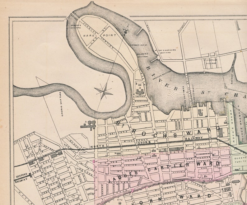
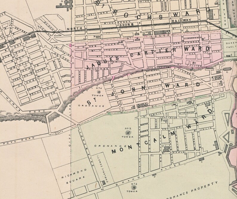
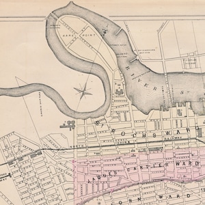
Size of map image: approx. 15 inches x 12 inches. Full map is shown in the first photo ; other photos show details from the map.
In very good condition. Minor tears along the edges, if any, have been repaired with archival mending tissue. With printing en verso.
Reproductions of this map can be found, but this item is an ORIGINAL map printed in 1875, and not quite as easy to come by.
For all things Quebec, please click on:
https://www.etsy.com/ca/shop/bananastrudel?ref=seller-platform-mcnav&search_query=Quebec
Sent to you rolled in a mailing tube.
-
Order today to get by Nov 6-18
Your order should arrive by this date if you buy today. To calculate an estimated delivery date you can count on, we look at things like the carrier's latest transit times, the seller's processing time and shipping history, and where the order is shipping to and from.
-
Returns accepted within 14 days
Buyers are responsible for return shipping costs. If the item is not returned in its original condition, the buyer is responsible for any loss in value.
-
Cost to ship: $8.50
-
Ships from: Canada
There was a problem calculating your shipping. Please try again.
Etsy Purchase Protection
Shop confidently on Etsy knowing if something goes wrong with an order, we've got your back for all eligible purchases —
see program terms

Be the first to review this item

Smooth shipping Has a history of shipping on time with tracking.
Rave reviews Average review rating is 4.8 or higher.
More from this shop
Visit shop


-

1858 Map of New Brunswick Canada – Mid-19th Century Provincial Map Showing Counties, Towns, Rivers, Railroads & Borders Before Confederation
Sale Price $117.00
Original Price $156.00
-
1852 Antique Quebec Map, Mitchell Cowperthwait, Canada East
$125.00
-

1831 Map of Quebec by Joseph Bouchette – Topographical Survey of the District of Quebec Showing Rivers, Roads, Settlements & Terrain
Sale Price $75.00
Original Price $100.00
-

1859 CANADA extra large rare original antique A & C Black Map with inset map of the environs of Montreal - Ontario, Quebec, Wall Decor
Sale Price $81.38
Original Price $108.51
-
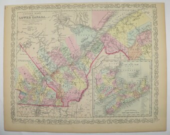
Antique Quebec Canada Map, 1858 Mitchell Map, Hand-Colored Engraving
$115.00
-
Lancashire, Henry Teesdale original antique map dating from about 1835
$111.29
-
Original Antique Map ROCHESTER LARKFIELD HUNDRED, Kent, Aylesford, Addington, Hasted 1782
$187.81
-
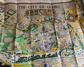
Vintage Map of the City of Quebec with Historical Notes S.H. Maw, 1950s
$100.00
-
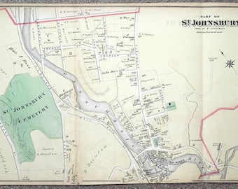
Original Antique Map USA St. JOHNSBURY, VERMONT, Vintage Street Plan 1875
$104.34
-
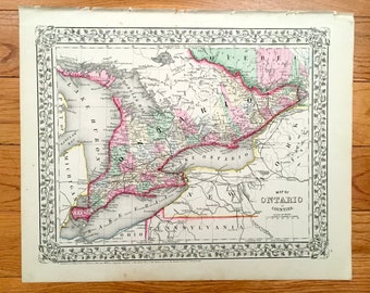
Antique 1871 Ontario, Canada Map by S.A. Mitchell – Toronto, Ottawa, Windsor, London, Niagara Falls, Michigan, New York, Thousand Islands
$115.00
-
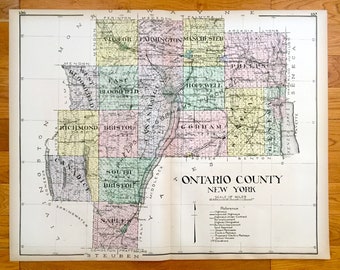
Antique Ontario County, New York 1911 New Century Atlas Map – Finger Lakes, Canandaigua, Geneva, Victor, Phelps, Honeoye, Manchester, NY
$125.00
-

1859 Canada - New Brunswick, Nova Scotia extra large rare original antique A & C Black Map with inset map of Newfoundland
Sale Price $81.38
Original Price $108.51
Shoppers with similar taste loved these
-
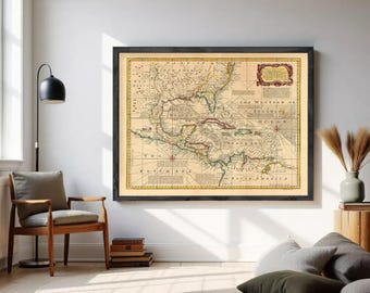
Caribbean Area Antillas Vintage Map 1720 | Gulf of Mexico Wall Decor Art Print
$38.00
-

Fra Mauro Map World Art Print: Medieval Mappamundi Cartography, Historic Cartographic Decor | Paper or Gallery-Wrapped Canvas
Sale Price $108.54
Original Price $135.67
-
Cardinal Borgia World Map Print: 15th Century Cartography
Sale Price $51.22
Original Price $64.03
-
Old Historical Seafaring World Map by Turpin, 1935: Famous Ships, Sea Monsters
Sale Price $50.08
Original Price $62.60
-

Carta Marina Map Print: 1529 Ancient Sea Monster Map Art
$33.73
-

Antique Caribbean Islands Map Print: 1748 Antilles, Virgin Isles Art
$30.24
-
Urbano Monte Map, Renaissance Planisphere Print - Antique World Wall Art, Paper or Gallery-Wrapped Canvas
Sale Price $108.54
Original Price $135.67
-

1732 Antique Map of West Indies: Florida, Mexico, Caribbean Fine Art Print
$41.87
-

Carta Marina Map Print: 1572 Scandinavia, Sea Monsters Art
Sale Price $75.79
Original Price $94.73
-
Ancient Iceland Map Print: Carta Marina, Sea Monsters Art
$34.89
-

Old Caribbean Islands Map (1795) Vintage West indies Nautical Chart Poster
$17.00
-
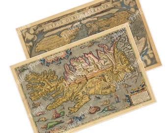
Iceland Map with Sea Monsters | Ortelius Islandia & Typus Orbis Terrarum World Map Set of 2 | Antique Map Print | Old World Library Wall Art
Sale Price $24.97
Original Price $31.21

Looking for more? Find it on Etsy