


Low in stock, only 3 left
Price: $8.00
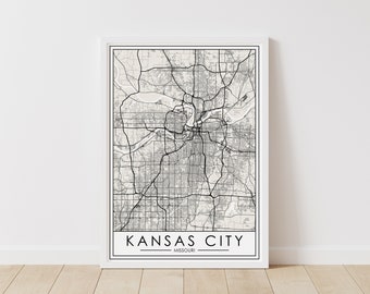
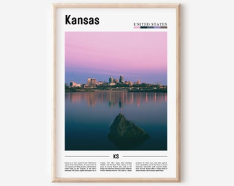
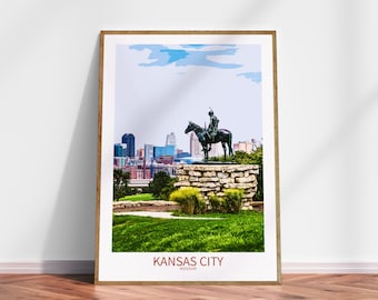
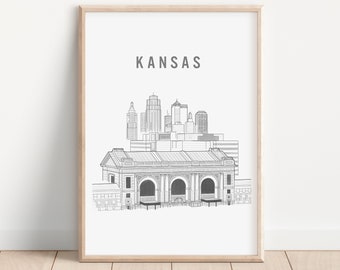
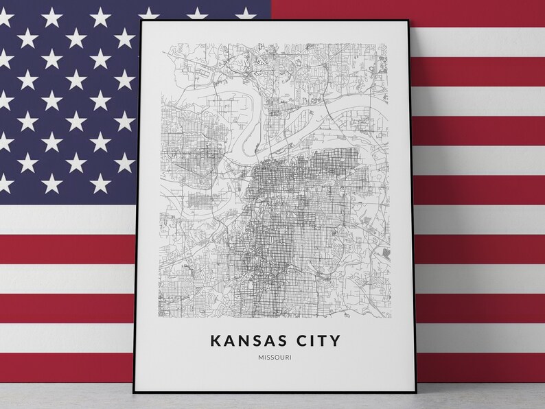
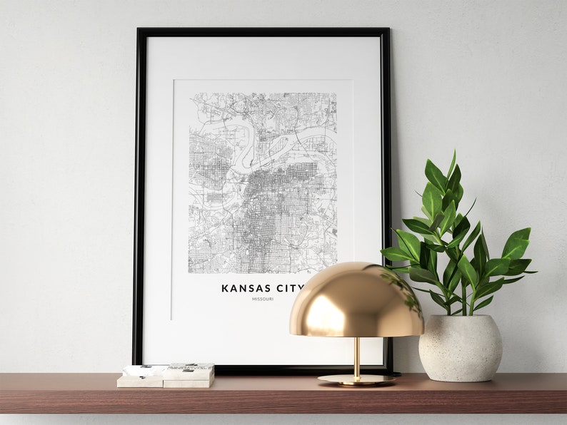
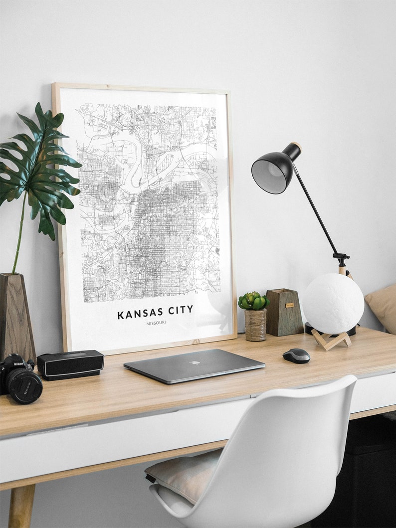
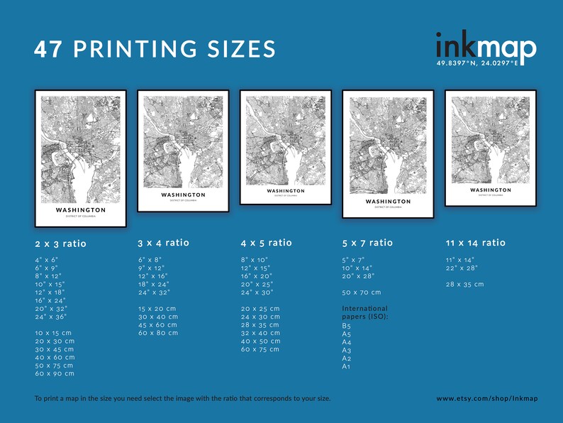
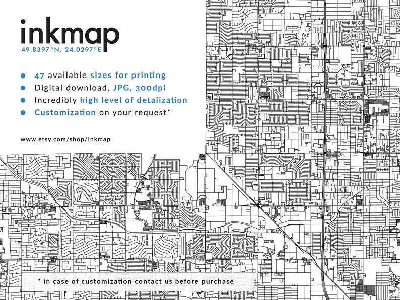
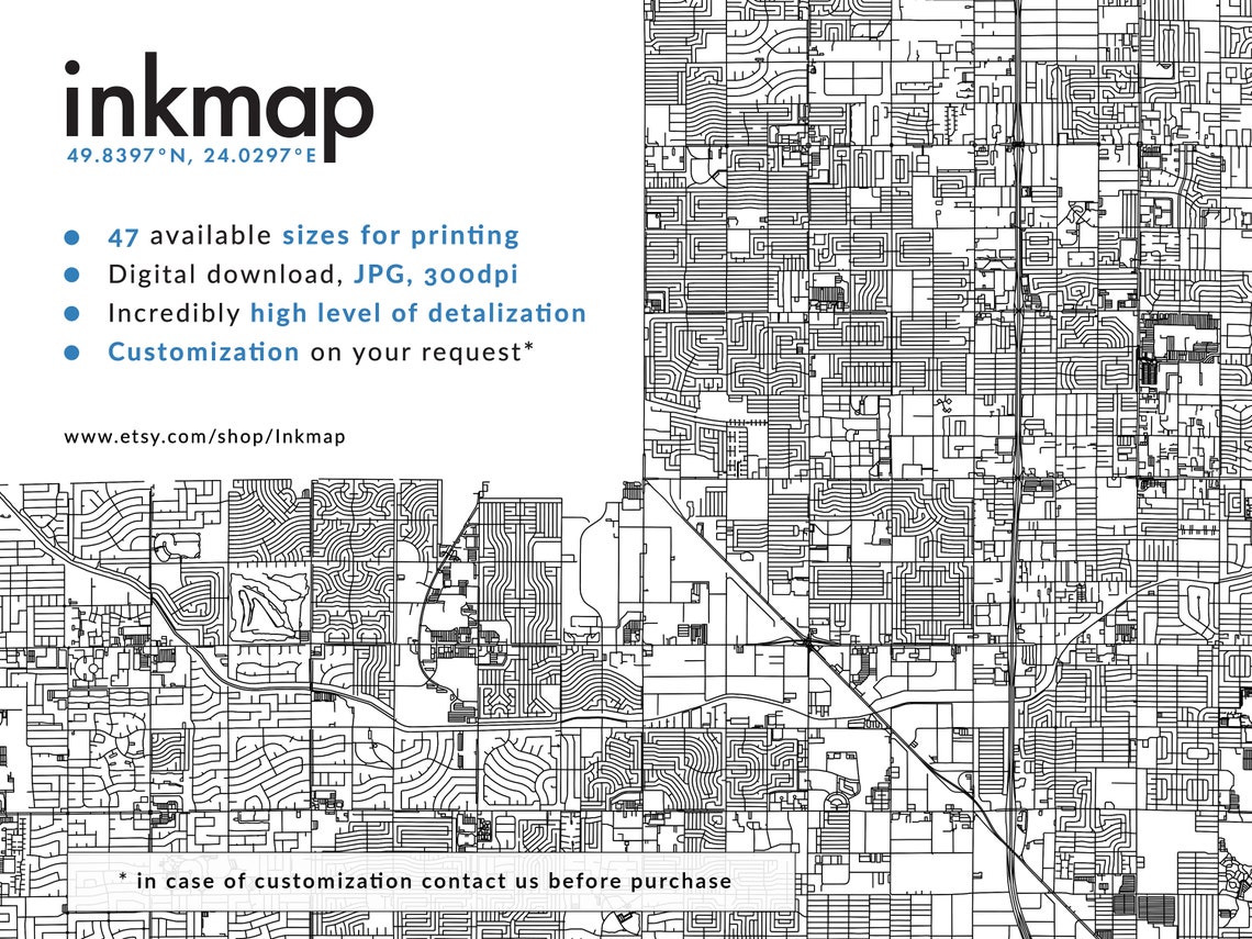
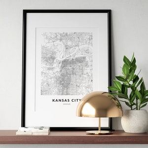
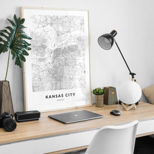
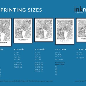
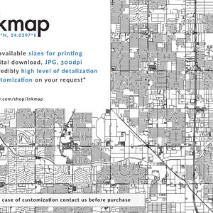
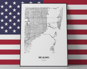
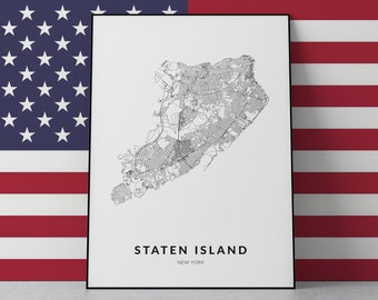
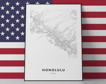
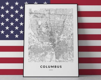
Kansas City map print, Kansas City poster, Kansas City wall art, Kansas City Missouri, Kansas City custom print, Kansas City city map art
You can only make an offer when buying a single item
Instant Download
Your files will be available to download once payment is confirmed. Here's how.
Instant download items don’t accept returns, exchanges or cancellations. Please contact the seller about any problems with your order.
Etsy Purchase Protection: Shop confidently on Etsy knowing if something goes wrong with an order, we've got your back for all eligible purchases — see program terms

Other reviews from this shop
|
(77)
Amazing service . Excellent service from Ros. Very impressed , got the same what was promised…..👍🏽👍🏽👌
Ravi May 9, 2024
This order was fast and turned out great! I even made a mistake on it and they fixed it right away.
Josephine D Jan 12, 2024
Love it! Very quick turn around. Seller was very responsive.
juliett davis Dec 1, 2023
SIMPLY THE BEST! JUST BUY, SELLER IS REALLY GREAT! HAPPY CUSTOMER FROM THE NETHERLANDS. I'LL BE BACK ;)
Mark Nov 23, 2023
Photos from reviews
More from this shop
Browse by section