


Only 1 left and in 3 carts
Price: $44.42+
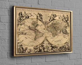
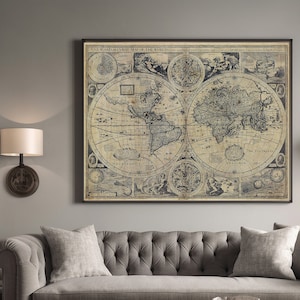
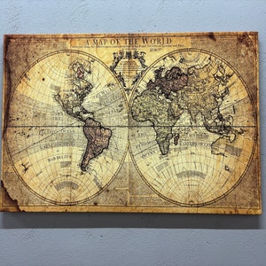
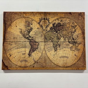
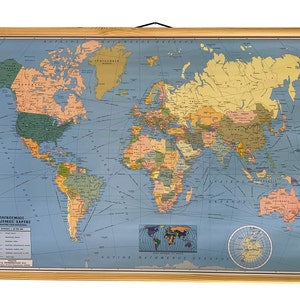
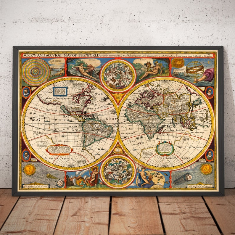
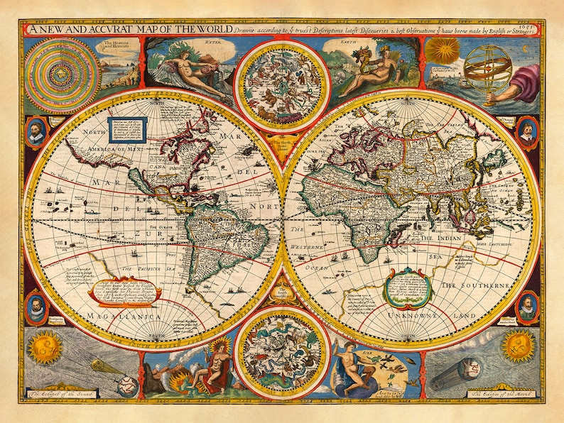
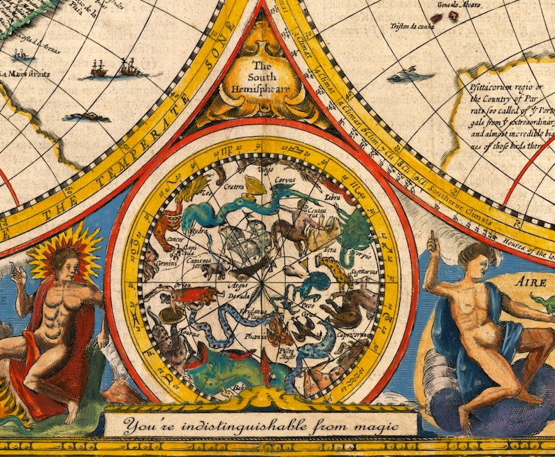
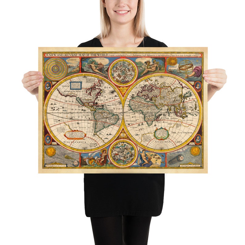
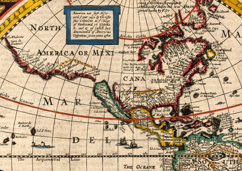
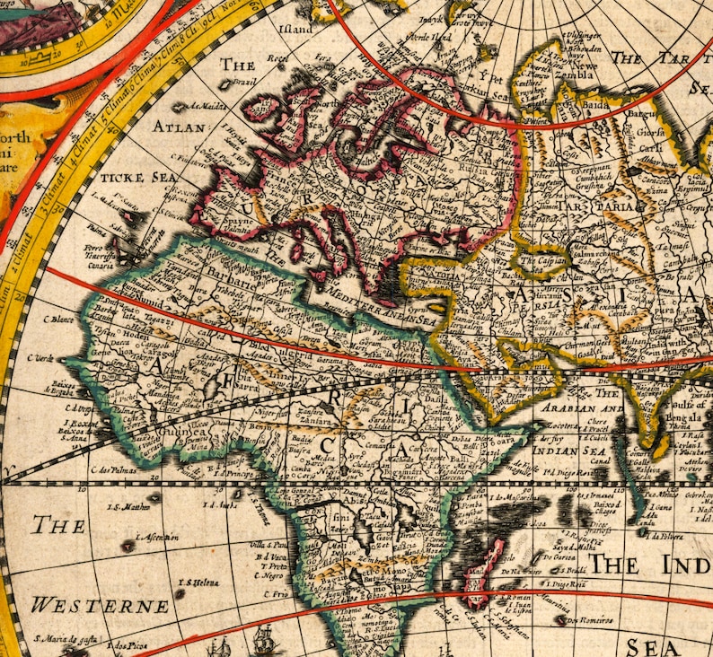
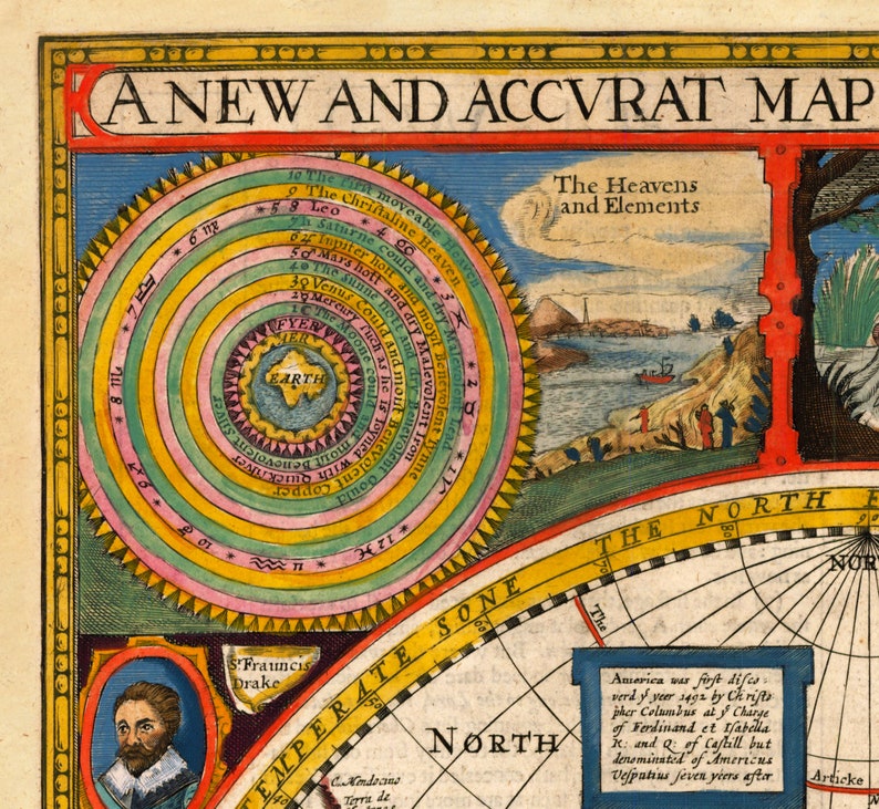
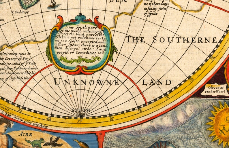
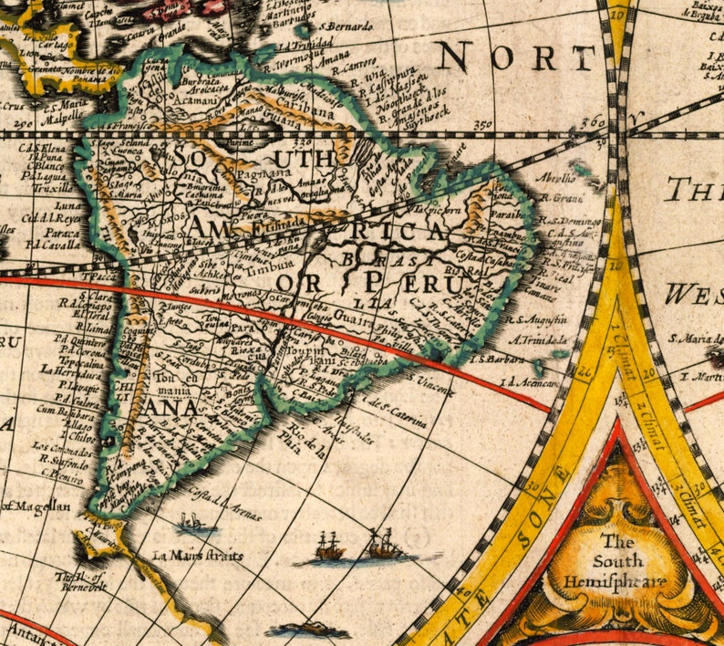
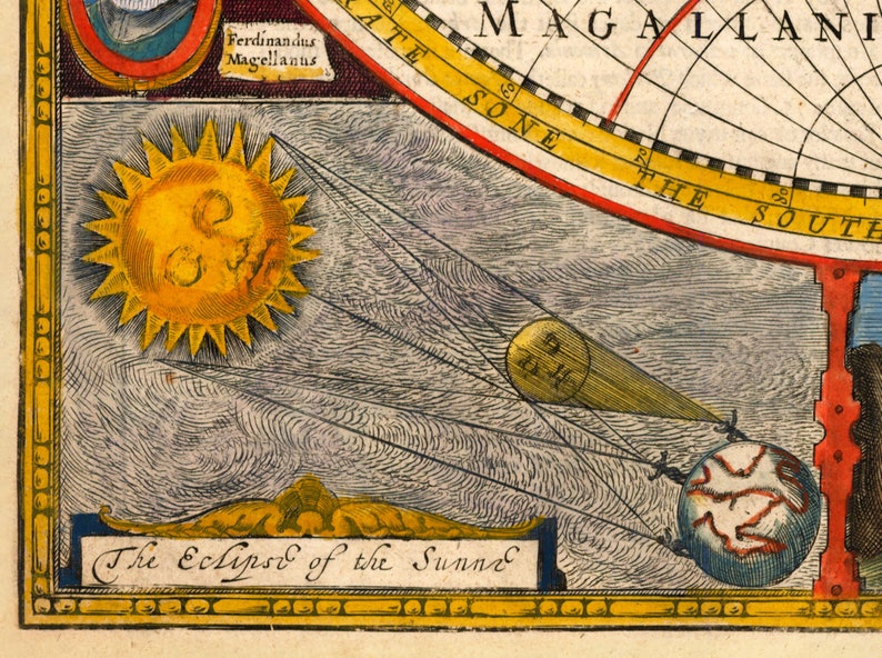
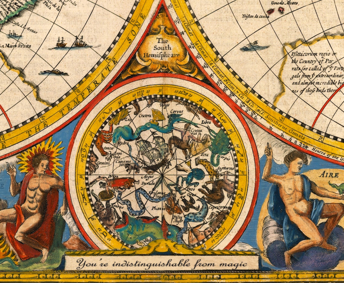
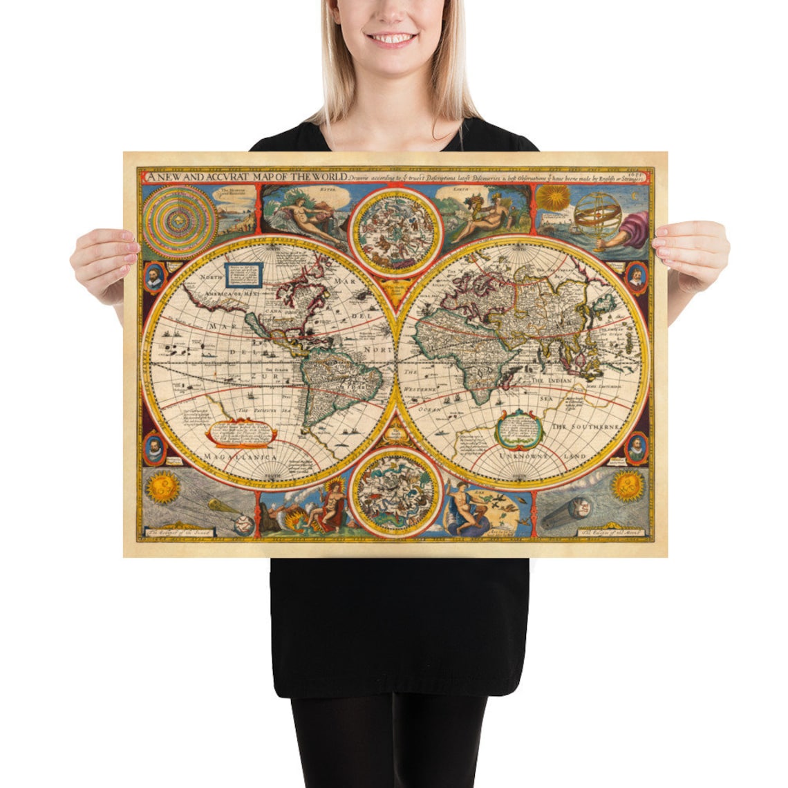
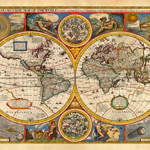
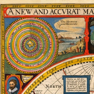
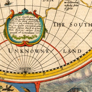
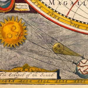
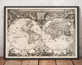
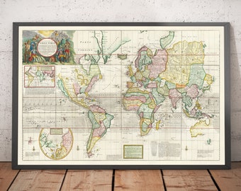
Rare Old World Atlas Map from 1651 by John Speed - Colour Vintage Wall Chart - Framed or Unframed
Star Seller
Star Sellers have an outstanding track record for providing a great customer experience—they consistently earned 5-star reviews, shipped orders on time, and replied quickly to any messages they received.
Your order should arrive by this date if you buy today. To calculate an estimated delivery date you can count on, we look at things like the carrier's latest transit times, the seller's processing time and shipping history, and where the order is shipping to and from.
Returns & exchanges accepted
You can only make an offer when buying a single item
Star Seller. This seller consistently earned 5-star reviews, shipped on time, and replied quickly to any messages they received.
-
Order today to get by May 16-24
Your order should arrive by this date if you buy today. To calculate an estimated delivery date you can count on, we look at things like the carrier's latest transit times, the seller's processing time and shipping history, and where the order is shipping to and from.
-
Returns & exchanges accepted within 30 days
Buyers are responsible for return shipping costs. If the item is not returned in its original condition, the buyer is responsible for any loss in value.
-
Free shipping
There was a problem calculating your shipping. Please try again.
Etsy Purchase Protection
Shop confidently on Etsy knowing if something goes wrong with an order, we've got your back for all eligible purchases —
see program terms

Captcha failed to load. Try using a different browser or disabling ad blockers.


1,300 reviews
5 out of 5 starsI could not be happier with my purchase, it just looks great. Would definitely recommend this shop. Thanks
David Fisher Apr 16, 2024

Beautiful map. My husband absolutely loved it. I’ve bought from here before. The framed version was well worth it.

Louise Eyre Dec 24, 2023
Photos from reviews
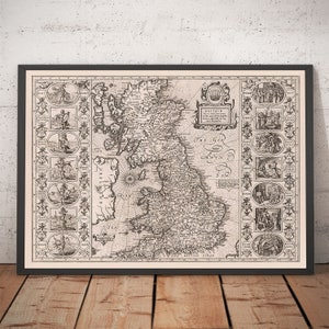
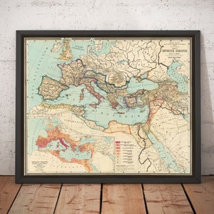
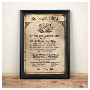
More from this shop
Browse by section