


Tides, moons and daylight, computed from published data
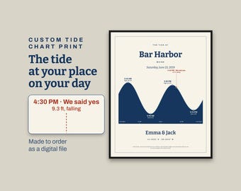
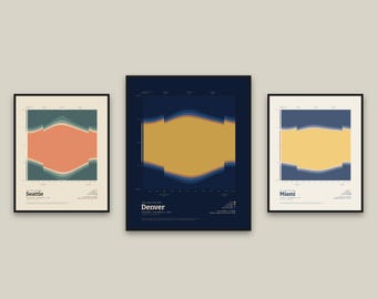
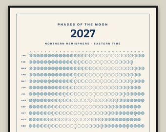
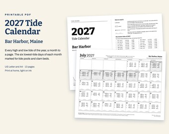
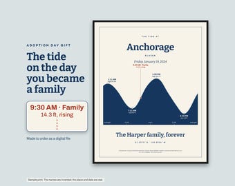
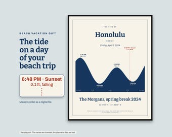
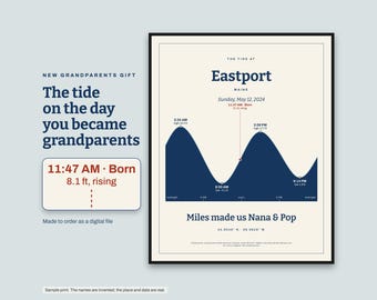
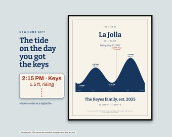
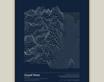
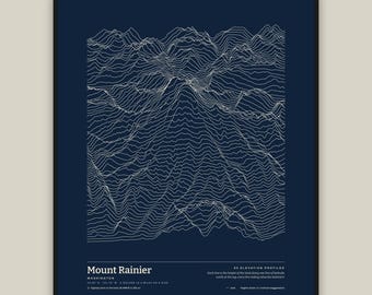
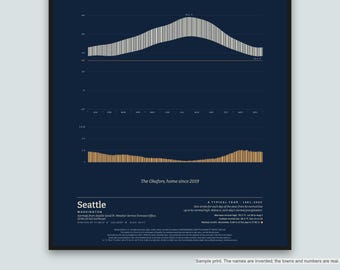
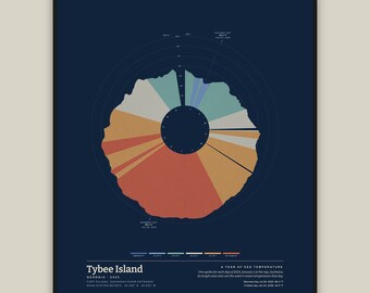
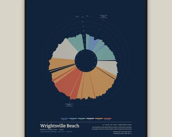
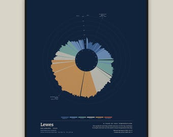
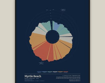
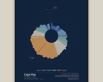
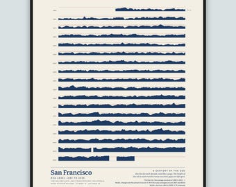
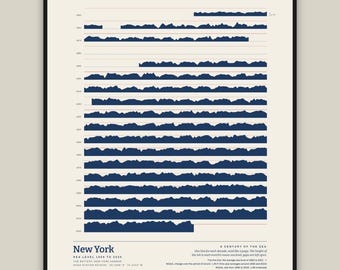
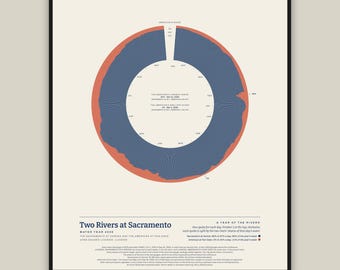
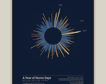
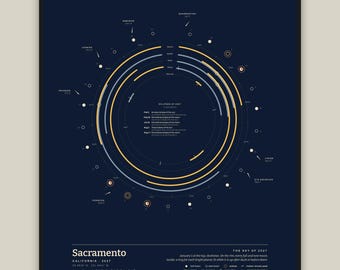
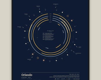
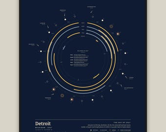
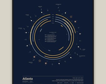
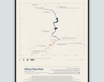
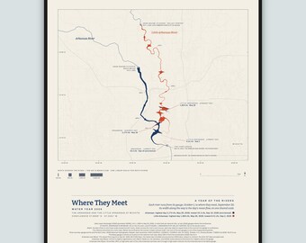
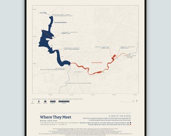
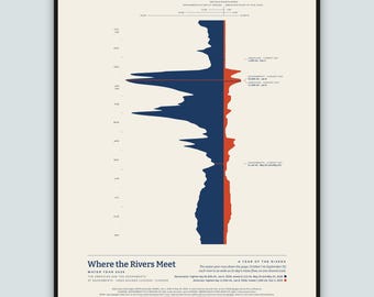
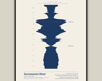
Tide Hours makes printable things from published data about the tides, the moon, the sun and rivers: 2027 tide calendars for 40 towns from Maine to Florida and California to Alaska, 2027 tide posters and tide ring prints, custom tide prints for your own place and date, 2027 moon phase calendars and posters (including one for Australia and New Zealand), night sky prints for ten U.S. cities, sunrise and sunset prints and calendars, river prints drawn from a year of USGS daily streamflow data, and a winter solstice print for your city.
The tides are computed by my own software from NOAA's published tide data, one NOAA tide station at a time. Every high and low tide on each calendar and poster was compared with NOAA's own published 2027 predictions for its station before it was listed. Each custom print is checked against NOAA's published predictions before I send it. These are predictions, not observations. Not for navigation. Not a NOAA product.
The moon phases are computed from Jean Meeus's published astronomical methods and were compared with the U.S. Naval Observatory's published 2027 moon phases. Sunrise and sunset times come from the standard published equations for the sun's position.
Everything here is a digital file: nothing is shipped and no frame is included. Calendars, posters and prints for a named town, city or river are ready to download as soon as you buy. Made-to-order prints are sent within a day.
The layout and the software were made with the help of AI tools. Every tide, moon phase, sunrise and river width is computed from the data, not generated.
