


Wren & Finch Aerial Imagery and Maps
I’m a seasoned geographer, FAA Part 107 licensed commercial drone pilot, and former Appalachian Trail thru-hiker based in Marietta, Pennsylvania, where I live with my fellow thru-hiker wife and our two kids. On the AT, my wife and I shared countless sunrises and sunsets, weathered tough storms, encountered elusive wildlife, learned what our bodies were capable of, and found a supportive community along the way. Since childhood, I have held a deep appreciation for nature and an insatiable curiosity about people and their relationships to their communities and environment. My journey on the AT only heightened that curiosity and instilled a desire to do more to help preserve and protect our natural world—it’s a part of us, and we’re a part of it.
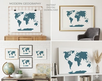
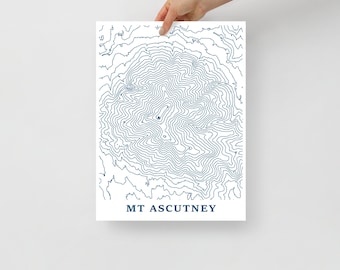
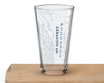
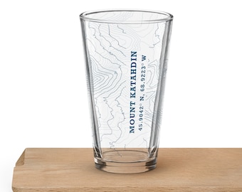
I founded Wren & Finch Aerial Imagery and Maps as a part-time venture to channel my passions for nature, outdoor adventure, and human geography and every map in this shop is a reflection of that. My maps aim to tell a story about the places we love. Whether you're looking for a piece that captures somewhere you love or seeking something custom and deeply personal, I hope you find it here.