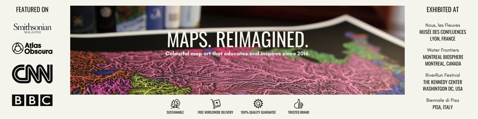
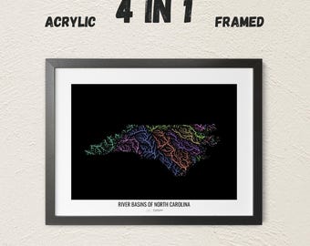
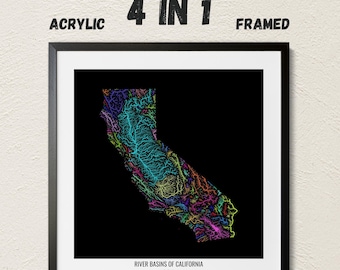
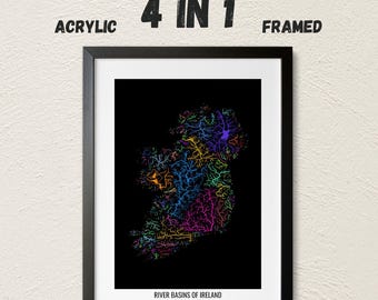
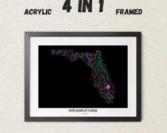
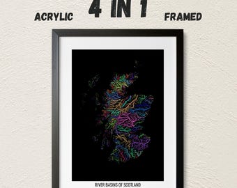
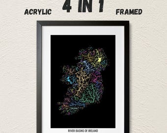
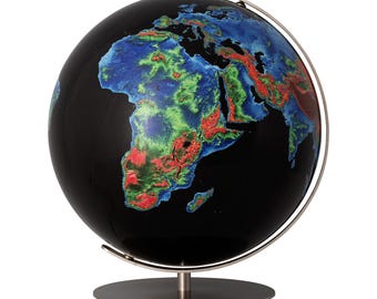
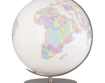
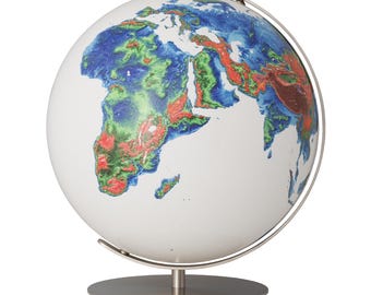
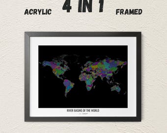
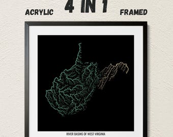
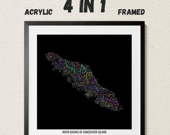
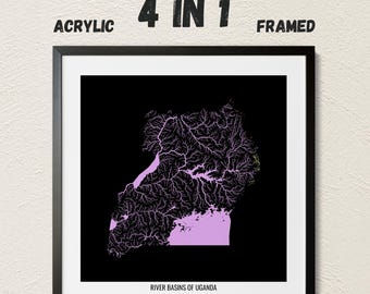
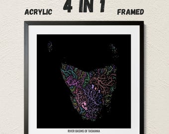
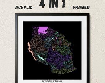
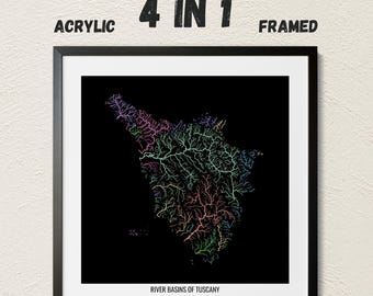
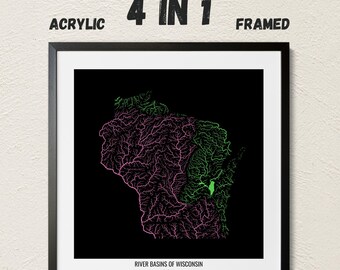
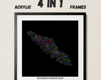
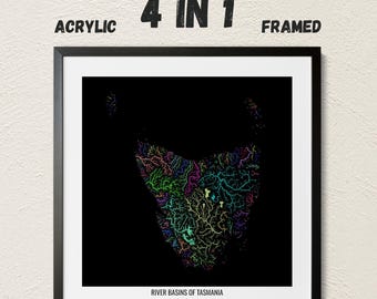
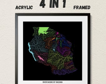
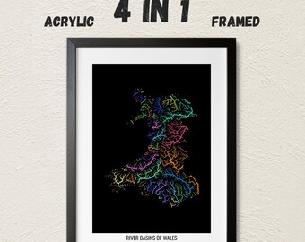
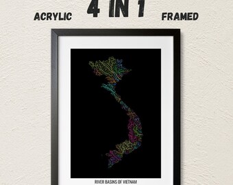
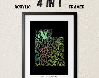
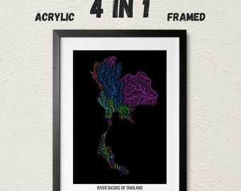
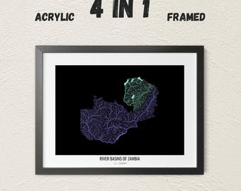
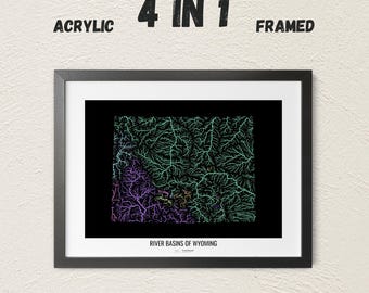


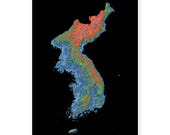




Maps. Reimagined.
We are a tiny family business, where I, Robert, a GIS analyst/digital cartographer, create artistic maps, while Eszter, my partner, takes most business-related work off of my shoulders.
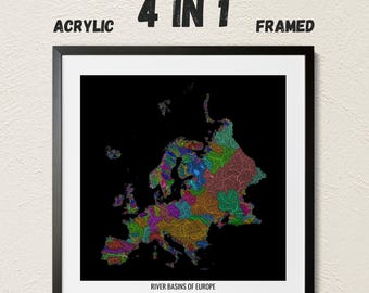
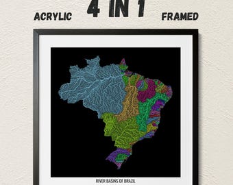
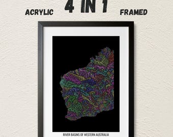
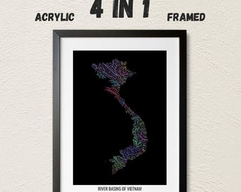
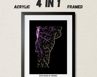
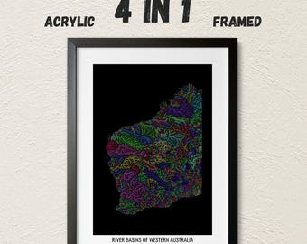
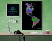
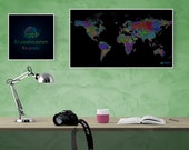
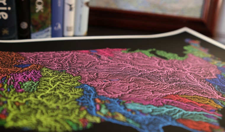
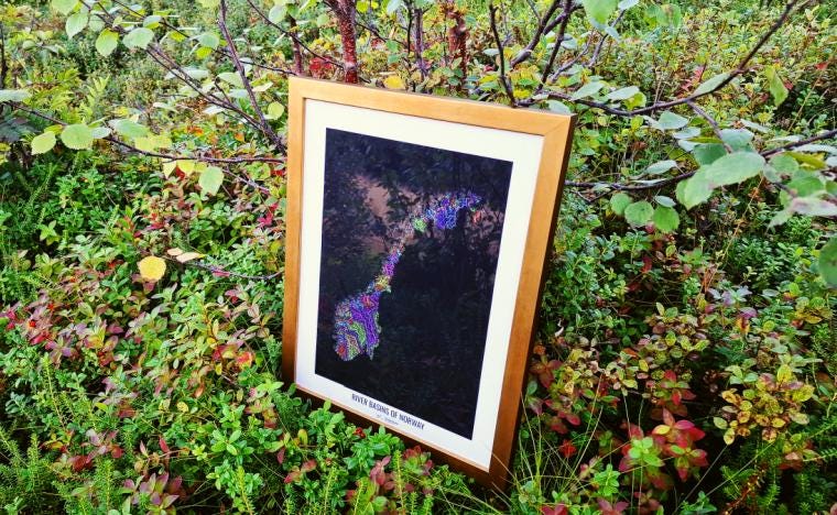
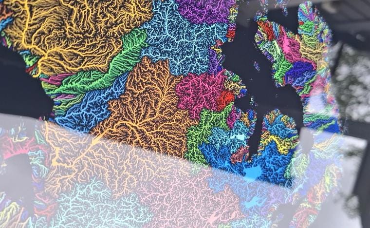
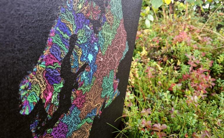
We offer a variety of map designs for both decorative and educational purposes, as our maps are not only pleasing to the eye but also scientifically accurate. A wide selection of prints are available from our webshops, but custom orders are always welcome.
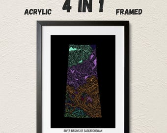
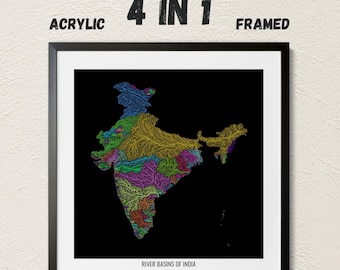
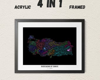
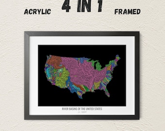
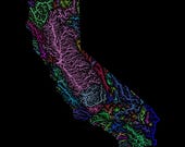
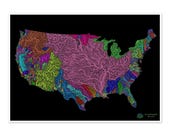
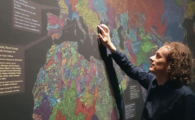
I started Grasshopper Geography in 2016 - by popular demand - after the colourful river basin map of the United States went viral. And here we are today, with many amazing accomplishments behind us: exhibitions, talks, dozens of collaborations with international organizations, hundreds of articles written about my unique map styles, more than ten thousand maps sold (wall art, as well as digital files). But most importantly, my maps have helped millions of people to understand the importance of freshwater, and how we are all connected through these river systems.
I regularly volunteer my mapmaking and GIS skills to Non-Governmental Organizations. I worked for archaeologists on the tiny Caribbean island of St. Eustatius, with marine biologists in Alaska, and with an orangutan conservation program in Indonesian Borneo, amongst others. I am happy to share my maps free of charge with NGOs and educational programs that fight for important environmental causes all around the world. Being involved in these amazing projects is not only a humbling experience, but it's also an essential part of Grasshopper Geography. Please take a moment to check out our past collaborations: https://www.grasshoppergeography.com/pages/collaborations
Learn more about us and our work at www.grasshoppergeography.com
Thank you for being awesome and for supporting us. Let's make the world a better place with colourful maps!
