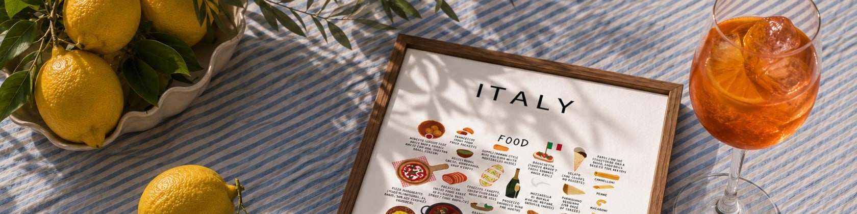


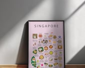
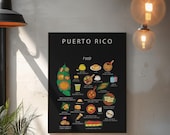
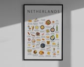
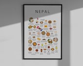
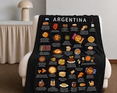

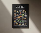


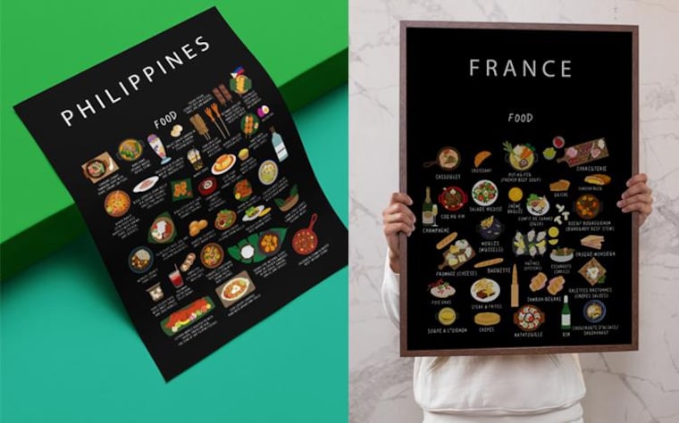
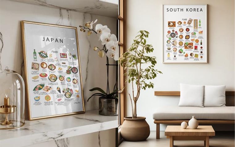
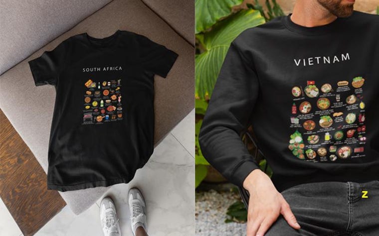
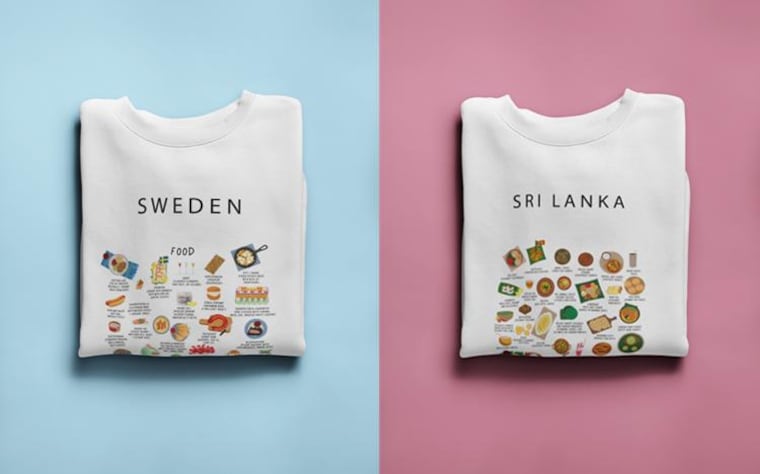
Food connects people!
Maison Maps began with a lifelong fascination for maps. As a child, Anneke could spend hours studying atlases, tracing countries and cities, and imagining places far beyond the page. That curiosity never disappeared.
Years later, during a business trip to China, life took an unexpected turn. Her son Levi was born prematurely in Shanghai after a complicated and intense period in the hospital. During this time, Anneke created her first illustrated world map to show him one day where his story began.
Unable to find a map that felt personal or engaging, she decided to draw one herself. That first design became the foundation of what would grow into Maison Maps.
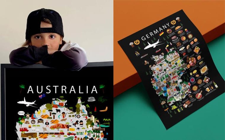
Today, Maison Maps designs are found in homes across the United States, Canada, Mexico, Europe and Asia.
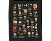
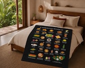
Each map is illustrated by hand and built from research, local input and cultural detail. The designs combine landmarks, food, nature and everyday elements that define a place. Rather than a satellite view, each map tells a visual story.
The goal is simple. To create maps that people connect with. Maps that remind them of where they have been, where they come from, or where they still want to go.
