
My Story
Hi, I'm Caleb, a graduate student at Portland State University and a lifelong lover of Oregon history, maps, and the stories that landscapes tell.
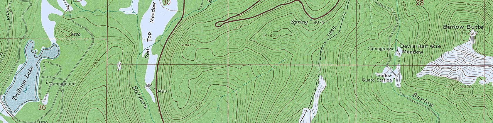
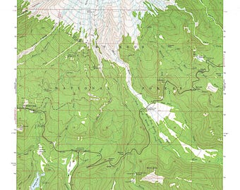
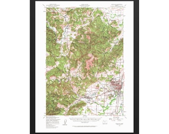
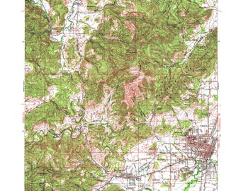
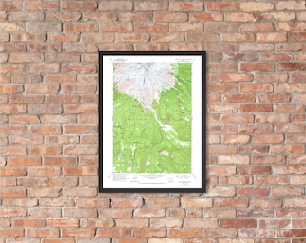
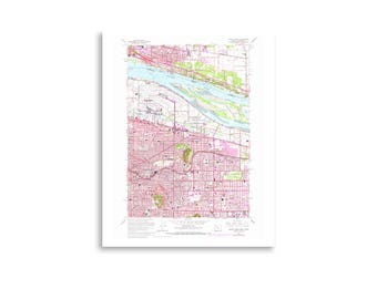
A while back I came across a collection of 25 original USGS topographic survey maps of Oregon, ranging from the 1940s through the 1980s. Maps of Mt. Hood, Cannon Beach, Sauvie Island, East Portland before the freeways, and the Bethany hills when they were still open farmland. I couldn't stop looking at them. Every contour line, every hand-lettered place name, every carefully inked road and waterway felt like a window into an Oregon that most people have never seen — or have simply forgotten.
After framing them for my walls, I decided I wanted to share them.
Every print in this shop starts with one of those original maps, which I personally scan and digitize by hand, carefully preserving and restoring every detail of the original survey before reproducing it on premium matte paper. No shortcuts, just a faithful reproduction of a document that real surveyors created, in the field, on the ground, decades ago.
I'm a one-person shop running out of Portland, adding new maps to the collection regularly as I work through the digitizing process. If there's a location that's meaningful to you — a neighborhood you grew up in, a mountain you've climbed, a coastline you love — there's a good chance I have a map of it.
Thanks for supporting a small, local, Portland run business. It means a lot.
— Caleb, Oregon Map Co.