






From self-taught curiosity to meaningful topographic art
Learn more here: www.terrastratas.com
I started Terrastratas because I believe geography is more than just data on a map. It’s deeply personal. Whether it's the mountain where someone proposed, a family’s new land, or a trail filled with memories, certain places carry meaning that deserves to be captured and celebrated.
I didn’t come from a design background. I bought my first 3D printer out of pure curiosity and started teaching myself everything I needed to know. Over time, I learned how to use SketchUp, Blender, QGIS, Fusion 360 and other powerful tools that helped me turn that curiosity into a craft. Each program taught me something different, and together they gave me the skills to create these unique and meaningful pieces.
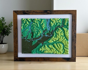
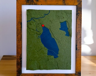
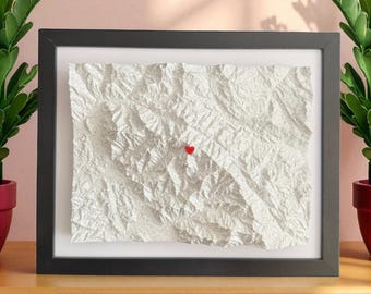
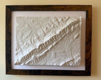
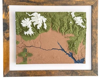
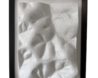
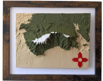
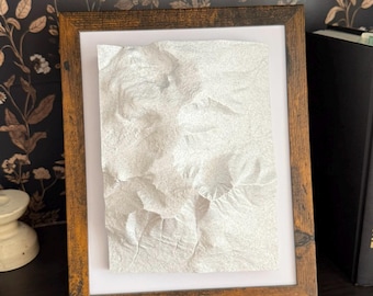
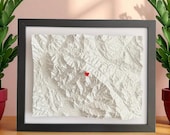
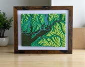
Now, every topographic map I make is created from real elevation data and customized for the person receiving it. Whether it’s a gift or something just for you, my goal is to deliver something that feels special, personal, and exciting. It’s a blend of art, technology, and memory, and it’s one of my favorite things to share with others.
If you’re looking for a piece that celebrates a place you love, I’d be honored to create it for you.
You can also visit my website at www.terrastratas.com to explore more options, see past work, or request something fully custom.
