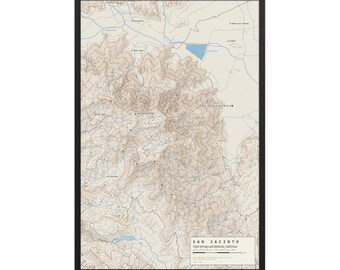
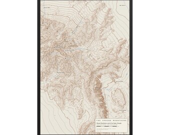
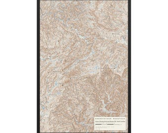
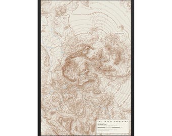
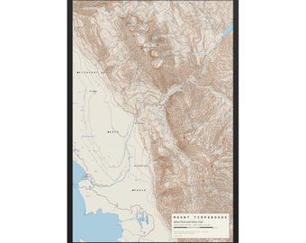
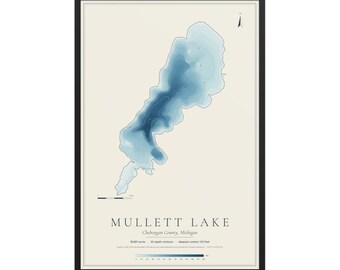
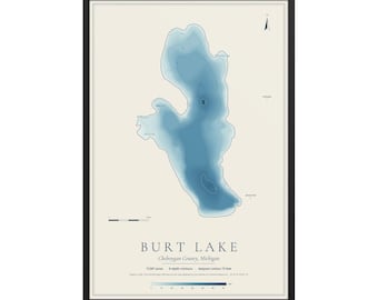
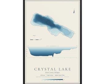
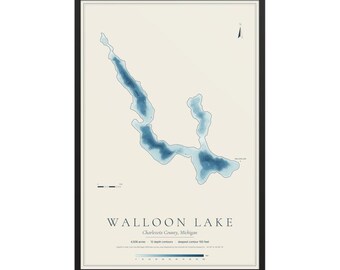
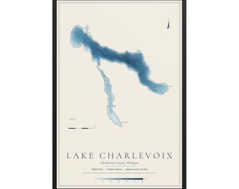
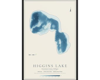
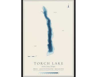
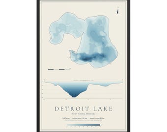
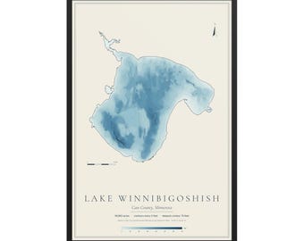
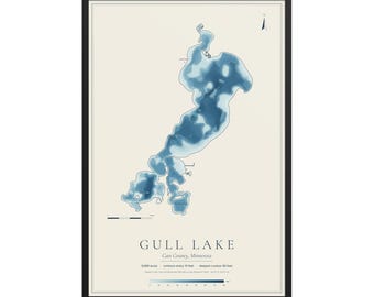
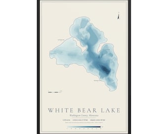
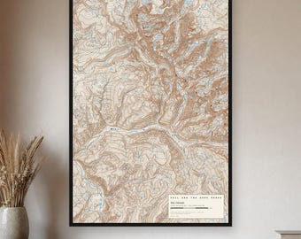
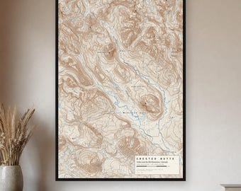

Real places, true to scale
Truescale Maps is run by Patrick White, who has been putting public records online for over a decade, with Claude, an AI made by Anthropic, doing the mapping and research alongside him.
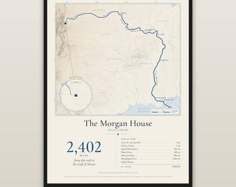
The idea is simple: the places that matter to people are already measured. Survey crews sounded the lakes, the USGS mapped every mountain, astronomers catalogued every star. We take that real data and draw it carefully, so the map of your lake, your mountain or your night sky is the real thing, not an illustration of it. Everything is drawn in code from the data; nothing is an AI-generated image.
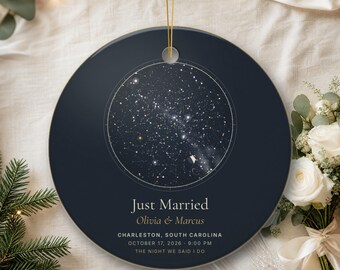
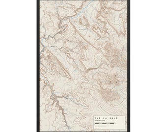
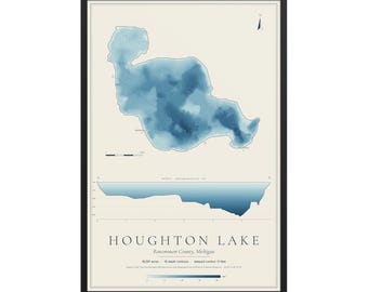
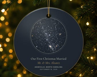
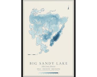
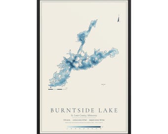
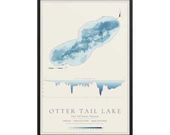
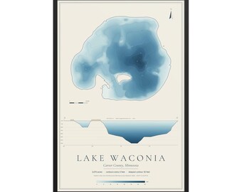
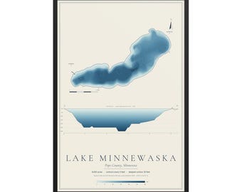
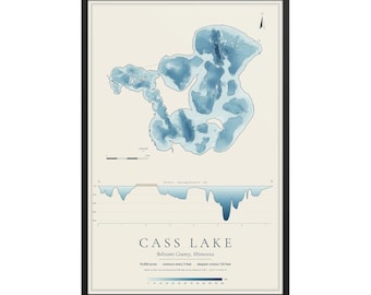
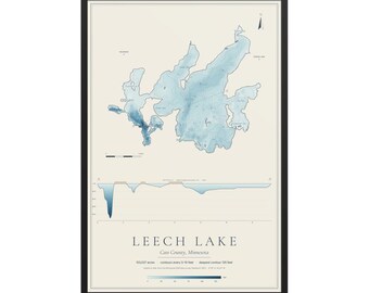
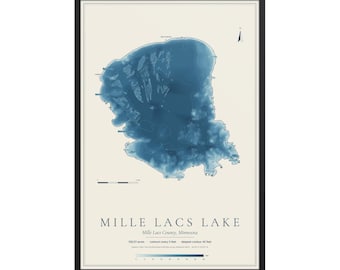
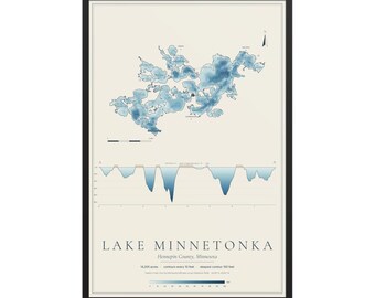
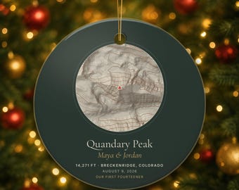
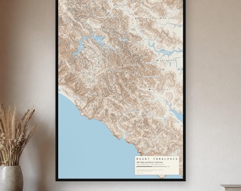
Mountain maps are drawn from US Geological Survey elevation data in the style of the old quad maps, and peak heights are checked against published survey figures before a map goes on sale. Lake charts use the state's own surveyed depth contours exactly as surveyed, with the survey year printed where the state records one. They're keepsakes, not navigation charts. Star maps are computed for the exact date, time and place you give us, from real star catalogues, with the Moon and planets where they actually stood.
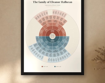
Family histories are researched in public records: census pages, draft cards, ship lists, vital records and old newspapers. Every fact is checked against its record before delivery, and anything the records don't confirm is marked as unconfirmed. We only research people who have died, and if we can't find your ancestor at all, you get a full refund.
Prints and ornaments are made to order and shipped by our production partners. Our books are published as Truescale Press.