


Price:$36.95+
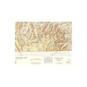
Topographical Map - Bitterroot Range Montana Idaho Wyoming Sheet - USAF 1961 - Vintage Wall Art
Here's what's eligible:
- Your order doesn't match the item description or photos
- Your item arrived damaged
- Your item arrived after the estimated arrival window
- Your item didn't arrive or was lost in the mail
Your order should arrive by this date if you buy today. To calculate an estimated delivery date you can count on, we look at things like the carrier's latest transit times, the seller's processing time and shipping history, and where the order is shipping to and from.
Returns & exchanges accepted
You can only make an offer when buying a single item
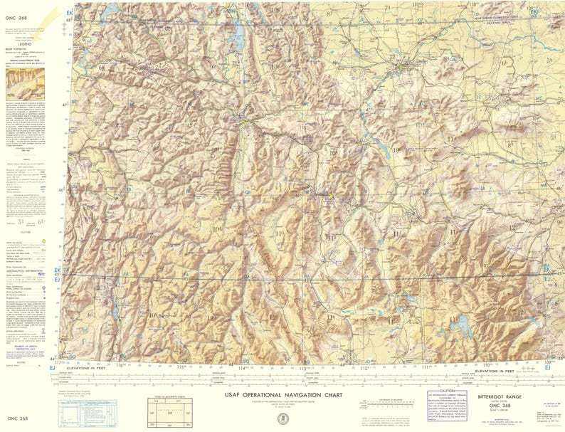
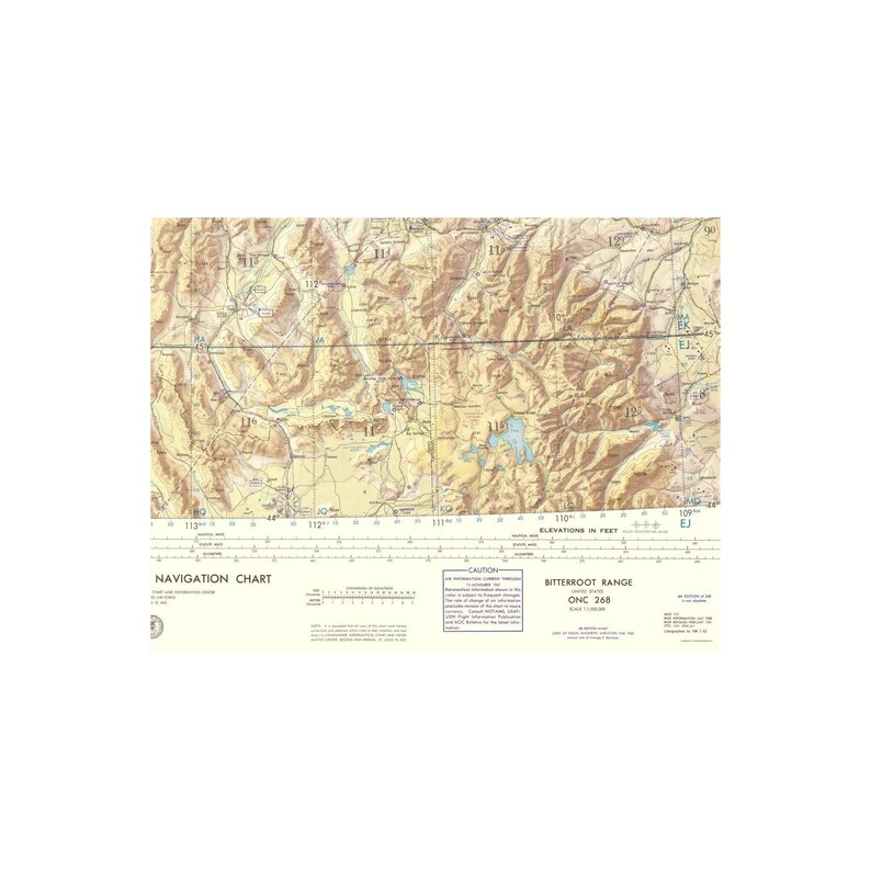
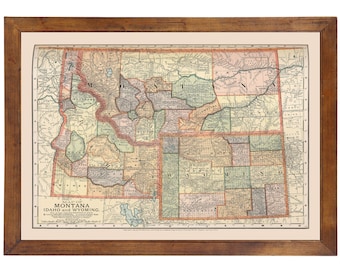
Topographical Map - Bitterroot Range Montana, Idaho, Wyoming 1961 - This is an exquisite full-color Reproduction printed on gloss paper or art paper.
Sites and Townships Specific To This Map Are: Weiser, Payette, Cody, Powell, Columbus, Livingston, Billings, Harlowton and Great Falls among many others.
The following towns are featured: The Bitterroot Range in Montana/Idaho/Wyoming, surveyed by and for the U.S. Air Force. This type of map focuses on elevation, bodies of water, roadways and aeronautical information. The entire concept of terrain illustration is based on regional studies to determine broad areas of different physiographic characteristics in order to capture the relative significance of ground forms. Features of note include: Yellowstone National Park, Flathead Lake, Coeur D' Alene Lake, Pend Orielle Lake, Missouri River, Yellowstone River, White Sulphur Springs, Red Rock River and Absaroka Range. Along the bottom of the map is an index of adjoining sheets and a series of distance scale. The map legend runs along the left side.
This Map is Situated in: Montana, Idaho and Wyoming (MT/ID/WY)
SKU: MTBR0001
Original Maps are often difficult to find and usually have fold lines, identifying stamps or markings, tears, ragged edges, and assorted other natural signs of age that detract from their beauty. All of our maps have been professionally restored to depict their original beauty, while keeping all historical data intact.
These maps are fabulous pieces of history full of information useful to Historians, Genealogists, Cartographers, Relic Hunters, & Others. They make fascinating conversation pieces and splendid works of art for the home or office.
-
Order today to get by Jun 20-25
Your order should arrive by this date if you buy today. To calculate an estimated delivery date you can count on, we look at things like the carrier's latest transit times, the seller's processing time and shipping history, and where the order is shipping to and from.
-
Returns & exchanges accepted within 30 days
Buyers are responsible for return shipping costs. If the item is not returned in its original condition, the buyer is responsible for any loss in value.
-
Free shipping
-
Ships from: San Marcos, TX
There was a problem calculating your shipping. Please try again.
Etsy Purchase Protection
Shop confidently on Etsy knowing if something goes wrong with an order, we've got your back for all eligible purchases —
see program terms

More from this shop
Visit shop-
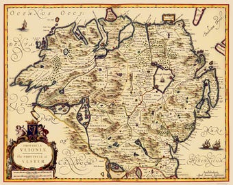
Historic Map - Ulster Province Ireland - Jansson 1646 - Vintage Wall Art
$36.95
-
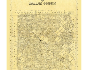
Historic County Map - Dallas County Texas - General Land Office - Vintage Wall Art
$36.95
-
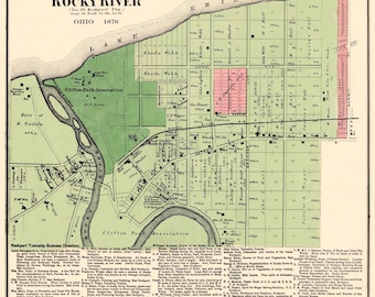
Historic City Map - Rocky River Ohio - Titus 1876 - Vintage Wall Art
$36.95
-
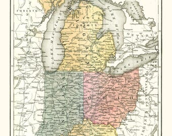
Historic State Map - Ohio Michigan Indiana Kentucky - Mitchell 1869 - Vintage Wall Art
$36.95
Be the first to leave a review
-
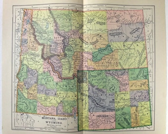
Map of Idaho and Montana - Printed in 1910 - A3 Map - Unframed Map
$12.62
-
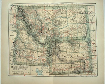
Map Of Idaho, Montana, And Wyoming, Historical Map of Idaho, Montana, And Wyoming, Antique map, Old Map, Vintage Map | MP284
Sale Price $18.70
Original Price $22.00
-

1909 Montana & Idaho Antique Map
$20.00
-

Vintage Idaho & Montana Map Art Print: Illustrated Canvas Wall Decor
$29.00
-
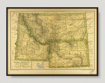
Original 1902 Map of Idaho, Montana and Wyoming by Dodd Mead & Company. Antique
$19.00
-
Montana, Idaho & Wyoming 1891; Ready-to-frame 24" x 36" print reproduced from a vintage map (does not include frame)
$85.00
-
Montana, Idaho and Wyoming - Original 1891 Map by Hunt & Eaton. Antique
$18.00
-
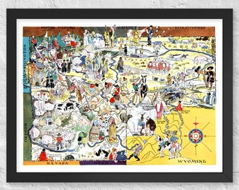
1932 Idaho & Montana Map Print | Vintage Pictorial Poster
$24.00
-
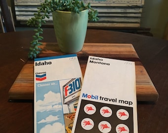
Vintage 1970 and 1972 Idaho and Idaho-Montana Travel Maps
$7.99
-

Vintage Yellowstone National Park Railway Map | Antique Hand-Drawn Montana Wyoming Idaho Cartography
$30.00
-
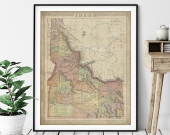
1897 Idaho Map Print: Vintage State Wall Art
Sale Price $21.00
Original Price $28.00
-
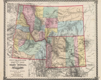
1875 County Map of Idaho, Montana, and Wyoming
$45.00
Shoppers with similar taste loved these
-
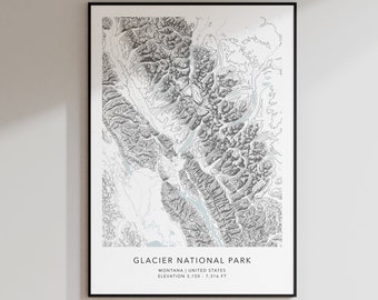
Glacier National Park Map Print | Topographic Contour Map | Glacier Topographic Print | Modern Map Art | Minimalist Map Print | Montana
$24.99
-
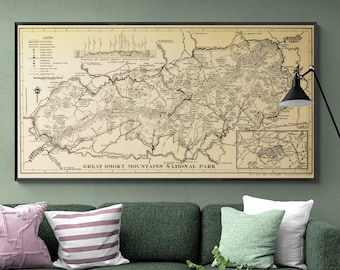
Smoky Mountains National Park Vintage Map | 1940s Wall Art
$84.66
-
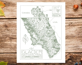
Glacier National Park Map Print | Hand-Drawn Fountain Pen Art
$26.00
-
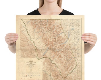
Old Glacier National Park Map (1927) Vintage Montana Reserve Atlas Poster
$19.00
-
Digital download
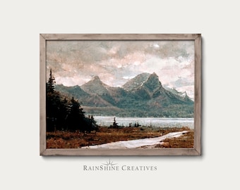
Glacier National Park Vintage Oil Painting | Montana Landscape (Digital Download)
$5.99
-
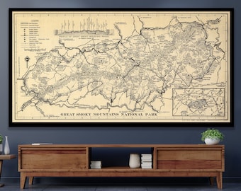
Great Smoky Mountains NATIONAL PARK 1940, Vintage Mountain Map Restoration Decorator Antique Wall Art Map USA Vintage Wall Map Art
Sale Price $50.00
Original Price $100.00
-
BRYCE CANYON - National Parks Series - Topographic Contour Map - Fine Art Giclée Print - Museum Quality
$22.00
-
National Park (And Other) Map Storage Box: 3D Printed Organizer and Display
$23.00
-
Arches National Park Map Print | Modern Topographic Wall Art | Giclée Poster Print
$35.00
-
Zion National Park Map Print, 1987 Vintage Geological Art
Sale Price $44.91
Original Price $56.14
-
Bryce Canyon Poster Print Black and White, Hoodoos Photo, Utah Travel Wall Art, National Park
Sale Price $17.21
Original Price $22.95
-
ARCHES - National Parks Series - Topographic Contour Map - Fine Art Giclée Print - Museum Quality
$22.00