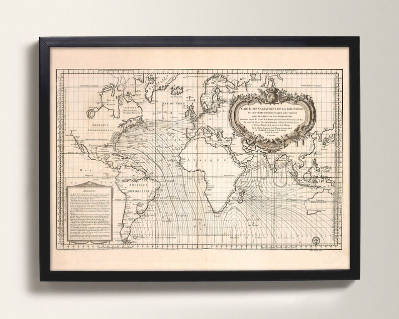
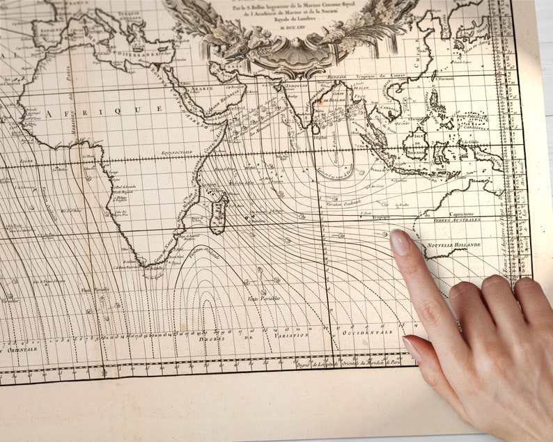
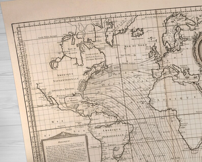
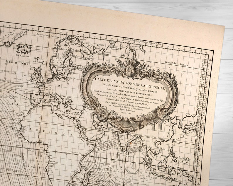
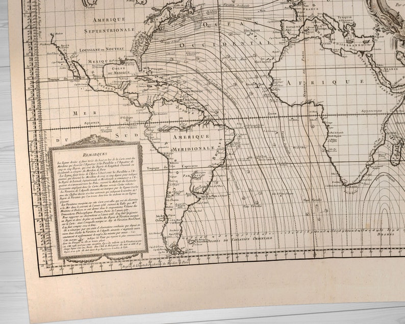
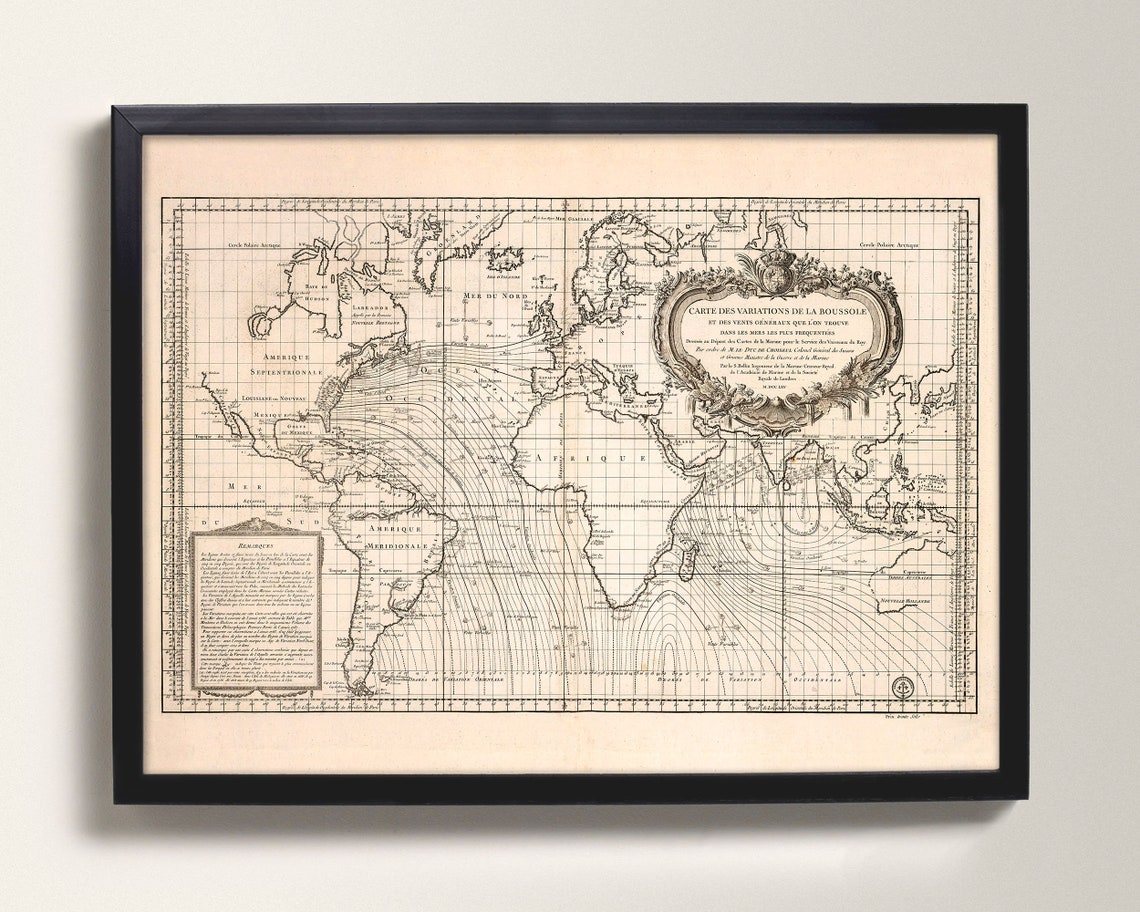
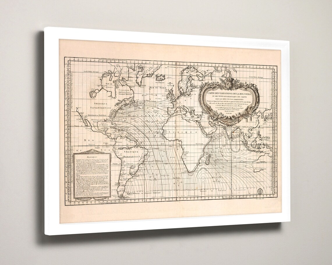
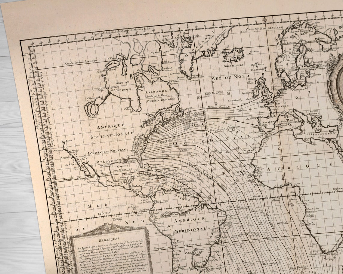
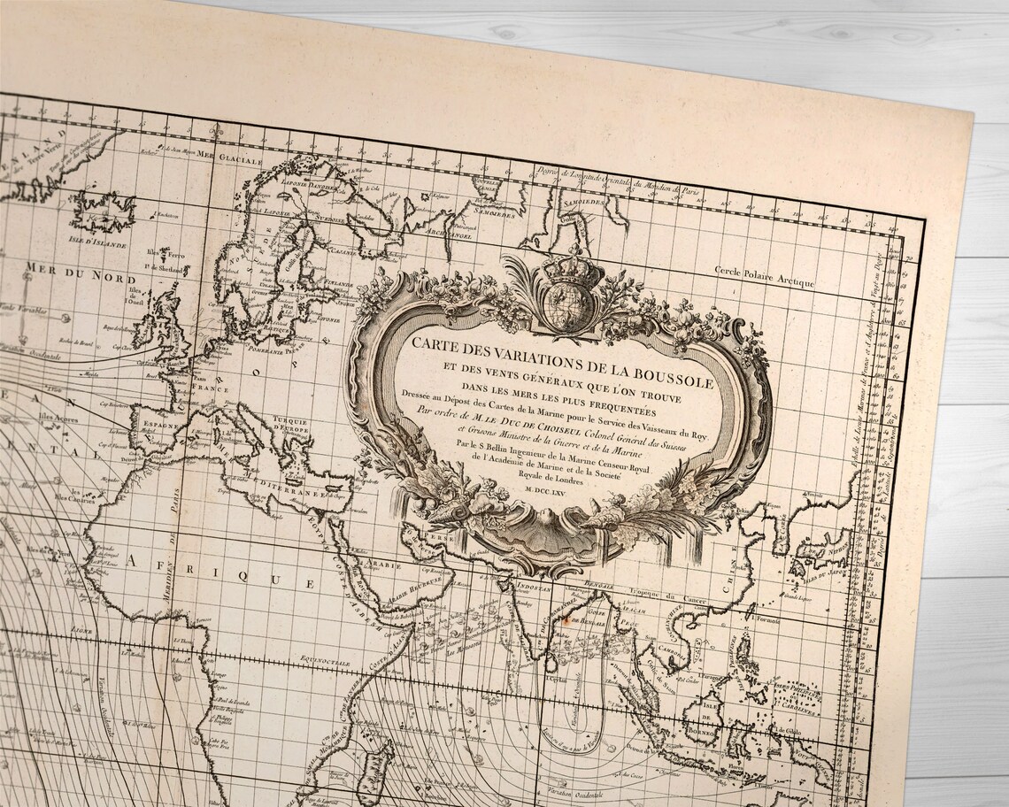
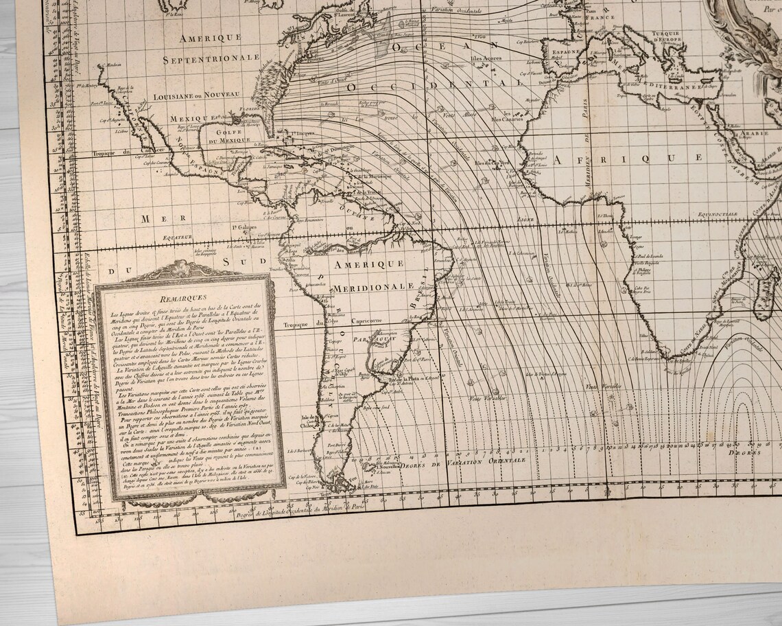
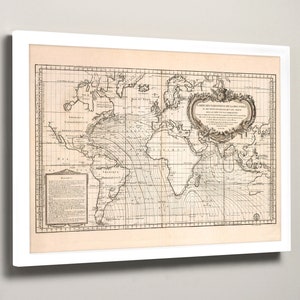
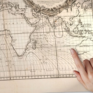
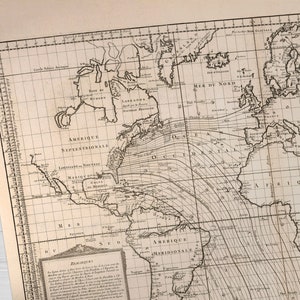
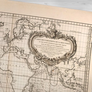
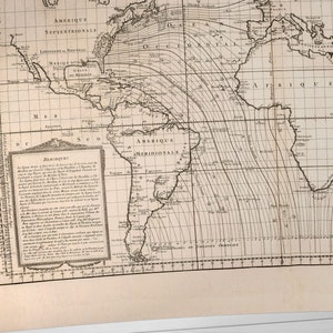
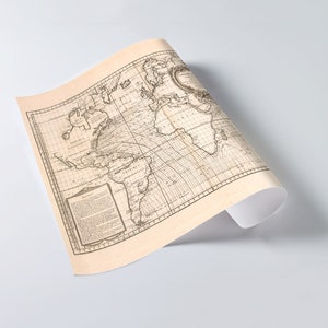
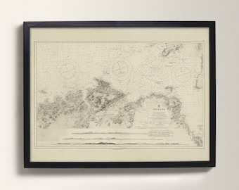
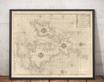
Exceptionally fabulous antique maritime atlas, a true masterpiece by the greatest French hydrographer of the 18th century, Jacques Nicolas Bellin... who made an atlas during the Civil War including maps of all the coastlines known at the time.
This print shows the coat of arms of the King of France, the atlas was taken by the English aboard the frigate la Nymphe, off the coasts of Ushant August 10, 1780, during one of the naval battles of the American War of Independence which took place on European waters. In the context of the war at the end of the 18th century, and of the rivalry between the French and British Navy, maritime atlases, were strategic tools, and this “Hydrographie Françoise” more so than any other, because its purpose was to provide the best maritime charts for the French ships that were fighting on the American side against the British.
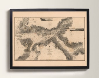
These atlases were not the kind to be kept in a library, but precious tools, based on the observations of the travellers and continuously improved upon, as reflect in this print. It was bound with the engraved title page of the edition of 1737-1765, but the index included maps printed after 1765 (until 1772), and the copy was augmented by six maps that do not appear in the index (until 1776), as well as 14 pages of text from the Versailles edition of 1773.
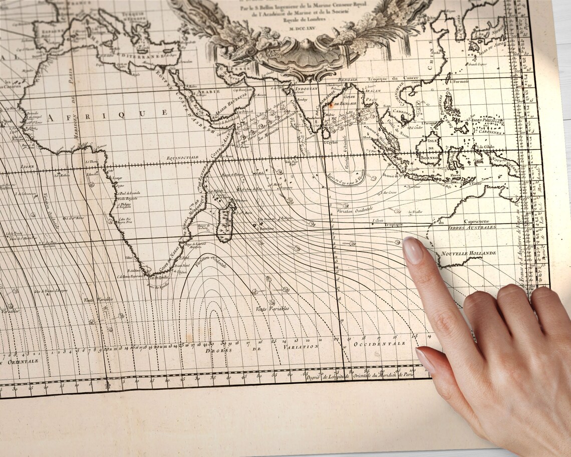
The captions explain that the maps were created using the latest technology of the day that could measure longitude (maritime clocks).".
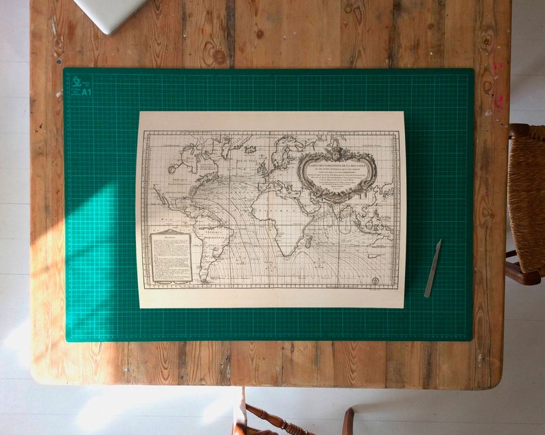
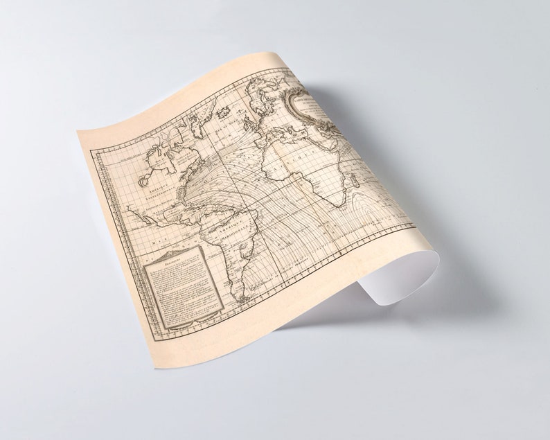
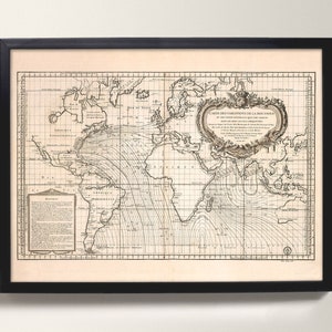
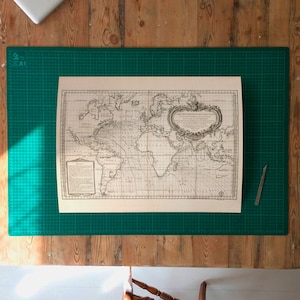
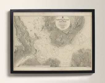
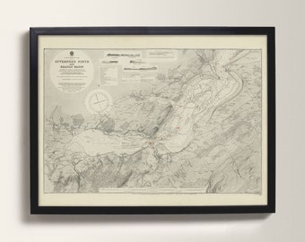
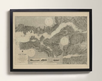
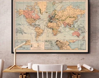
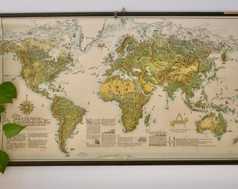
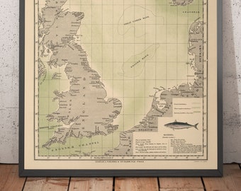
This is a giclée reproduction of an antique maritime sea chart of the region.
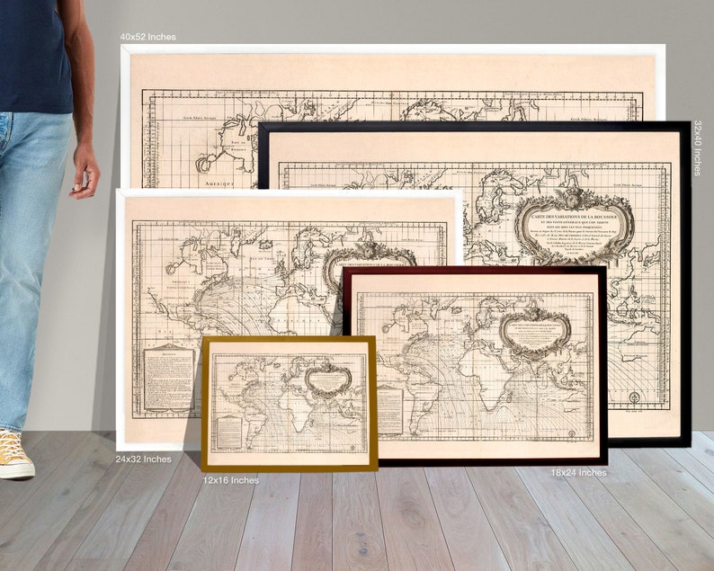
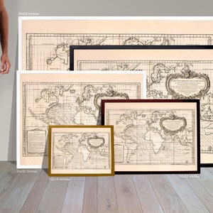
📐 Print Sizes
Below is a list of the print sizes available:
• 100x135cm (40x53 Inches)
– gargantuan enlargement, high quality
• 75x100cm (30x40 Inches)
– perfect clarity on all details
• 60x80cm (24x32 Inches)
— this size generally produces a good print, small details will be hard to interpret
• 45x60cm (18x24 Inches)
— small text and fine details will not be legible
❗️ Scale
Please note that the optimal print size is 28x40 inches. Prints made at the reduced size may not appear as the photographs that accompany the listing, as the print size is around 70% smaller. If requested I would be happy to produce a preview of your chosen print size before dispatching your print. Note that the chart is very old and has been pieced together in photoshop from several original scans, so you'd best not rely on the scale. This chart should not be used for sailing of any sort!
📜 Archival Pigment Print (aka. Giclée)
Your chart will be reproduced on thick, textured, photo rag paper crafted by Hahnemühle (one of the world's oldest fine art paper manufacturers), printed with 100% pigment inks. Such archival papers are created by combining genuine artist paper with an innovative inkjet coating resulting in a paper with a slight tactile surface. The combination of our pigment inks and Epson's paper means your print will last over 100 years without noticeable fading when kept behind glass and out of direct UV light.
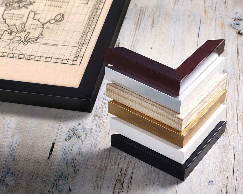
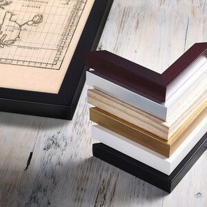
🖼 Framing Options
Please select a framing option, or choose 'Unframed' to receive your print without a frame. The frames offered are custom made by fine art guild framers from solid wood, dispatched with a perspex glaze. Ready to hang! Upgrades to real glass or non-reflective glass available, just get in touch.
IMPORTANT: framed prints can take up to 5 working days to produce.
📦 Shipping Upgrade
It could up to 3 working days to create your print and have it ready for dispatch. With the default “Standard Shipping" it might then take 2-6 working days to receive your order, there is no guaranteed tracking with the option. Upgrade: in Checkout please select “Express Postage” to upgrade your order to a priority courier delivery. Delivery estimate is 1-3 days in the UK with worldwide tracking available for this option. Note that framed prints can take up to 5 working days to produce. These timings are not guaranteed. Should you require your print on a specific date do contact me prior to purchase.
📓 Cordon Blaeu
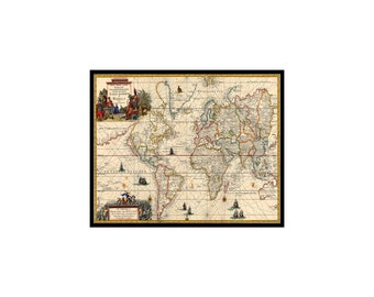
If you're interested in more delicious historical map prints of the world, do have a look at my new Etsy shop "The Blaeu Prints" where I reproduce pages from Blaeu's 400 year old 'Atlas Maior'. Specifically maps of Scotland and Europe– http://theblaeuprints.etsy.com
🔧 Customised Print
Should you require any customisation or an bespoke print size, do get in touch as I can produce this print at any size required.